


- Descrizione rapida
-
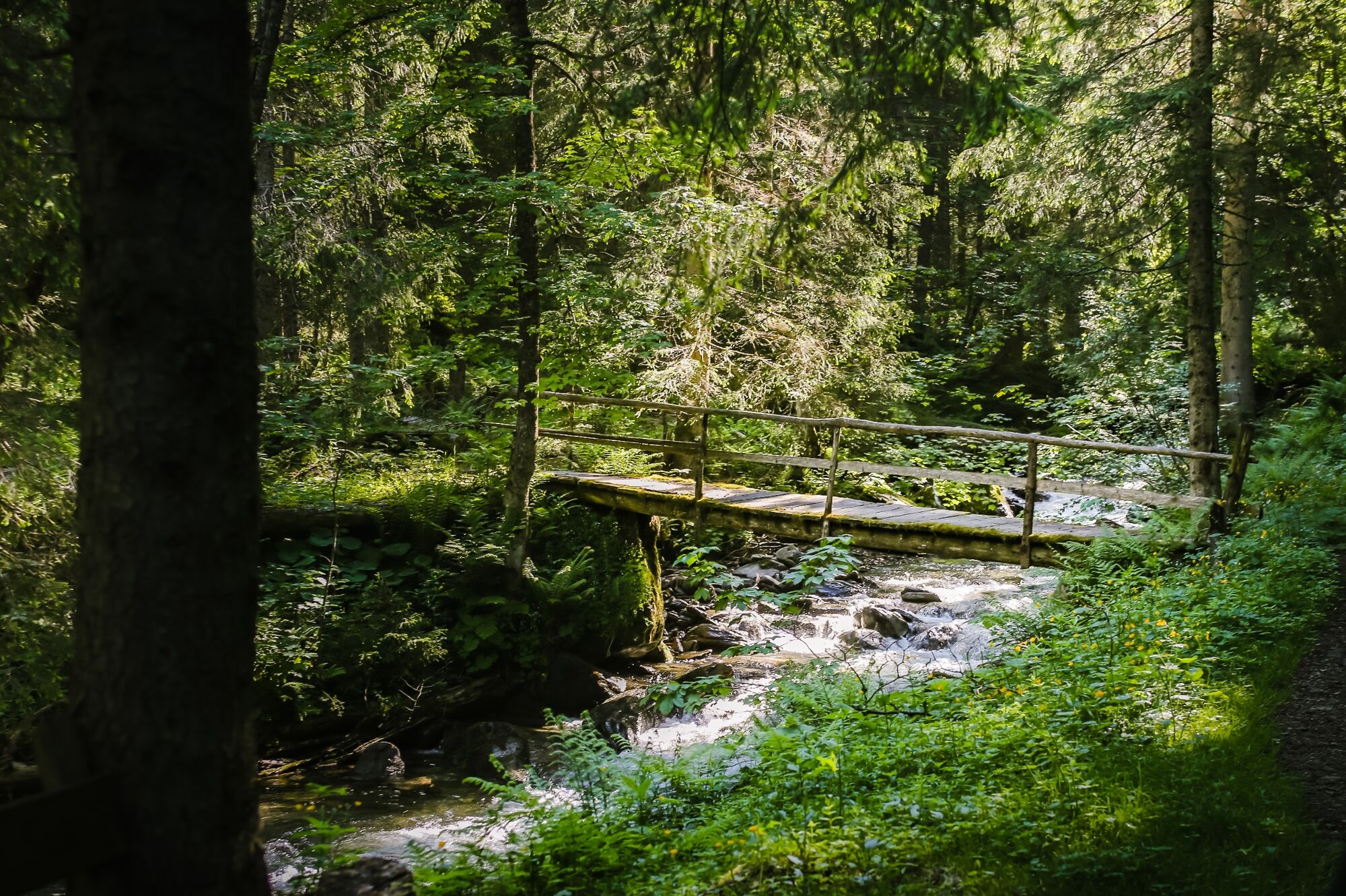
Easy, comfortable alpine pasture hike near the banks of the Lärchkarbach.
- Difficoltà
-
facile
- Valutazione
-
- Percorso
-
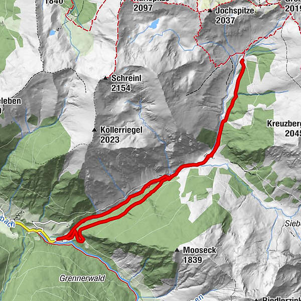
Dorfschenke0,0 kmLärchkaralm (1.295 m)3,1 kmStallaalm4,9 kmLärchkaralm (1.295 m)6,9 kmDorfschenke10,3 km
- La stagione migliore
-
genfebmaraprmaggiulugagosetottnovdic
- Punto più alto
- 1.511 m
- Destinazione
-
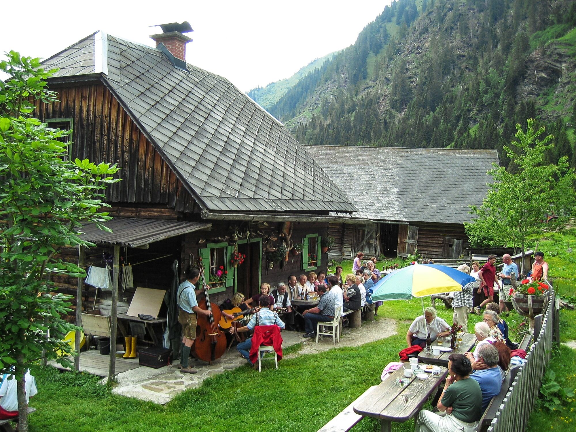
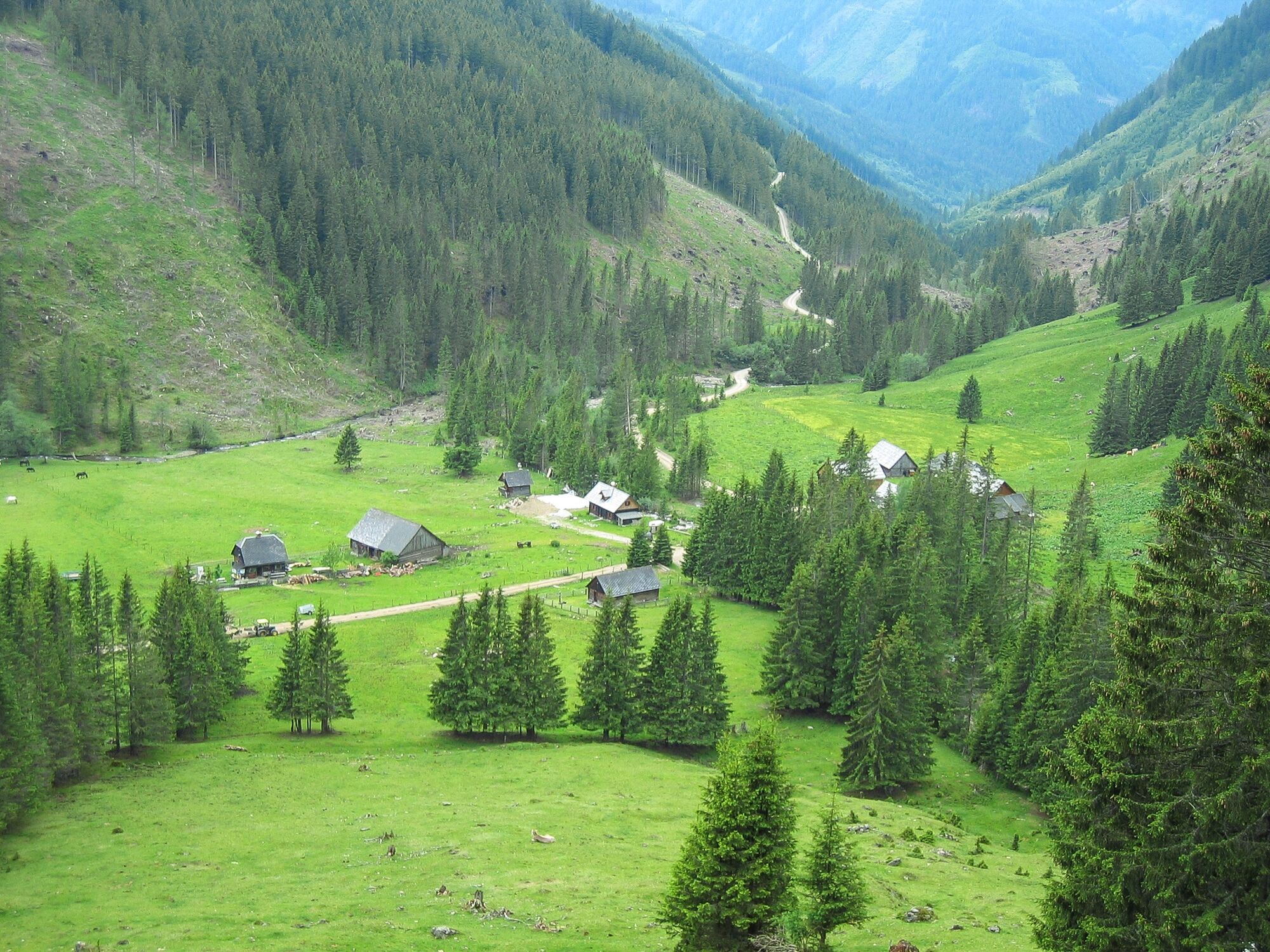
Stalla Alm
- Profilo altimetrico
-

- Autore
-
Il tour To the Lärchkar Alm and Stalla Alm è utilizzato da outdooractive.com fornito.
GPS Downloads


Info generali
Punto di ristoro
Flora
Fauna
Altri tour nelle regioni


