© TV Gamlitz - Harry Schiffer
© TV Gamlitz - Harry Schiffer
© TV Gamlitz - Harry Schiffer
© TV Gamlitz - Harry Schiffer
© TV Gamlitz - Harry Schiffer

- Descrizione rapida
-
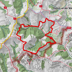
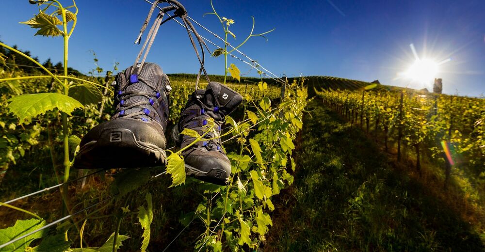
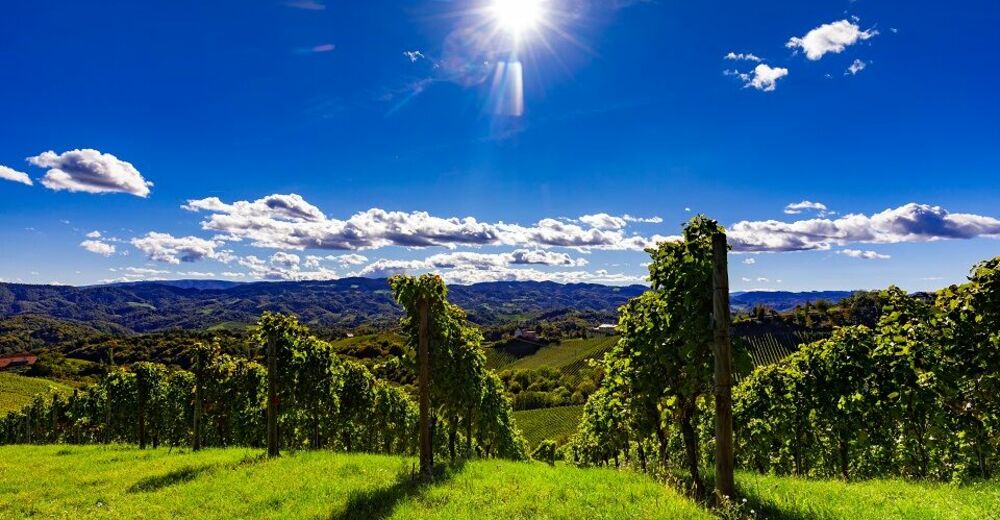
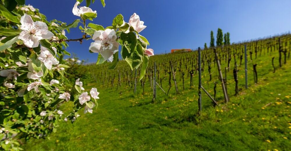
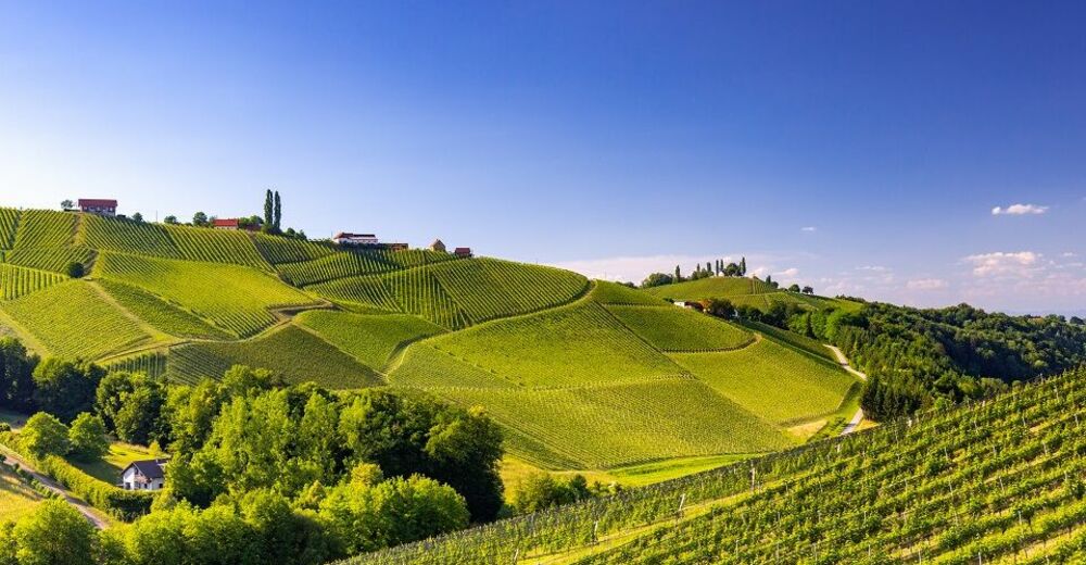
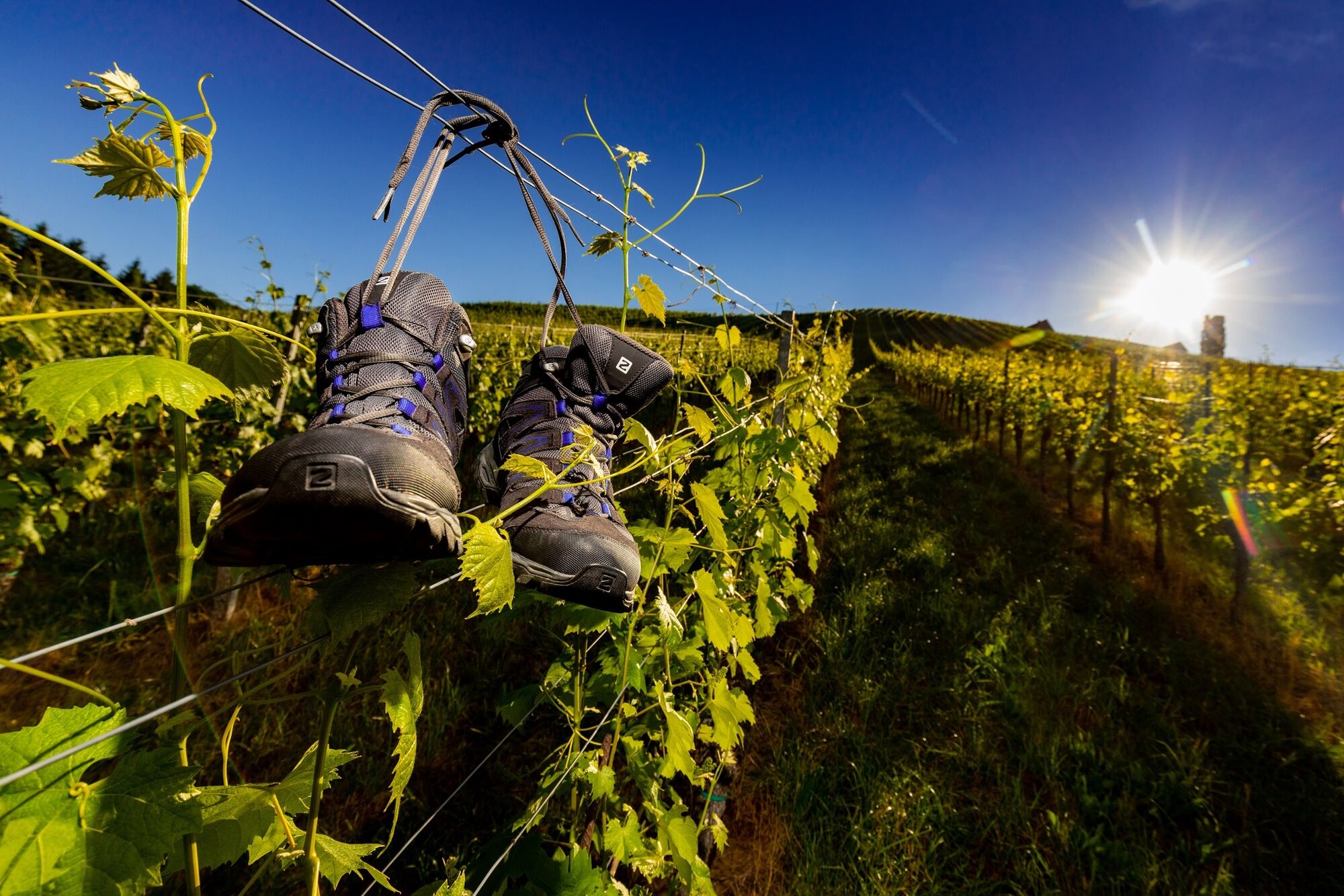
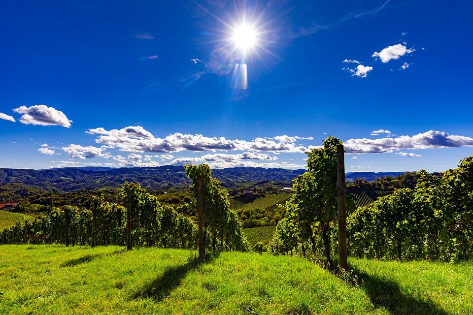
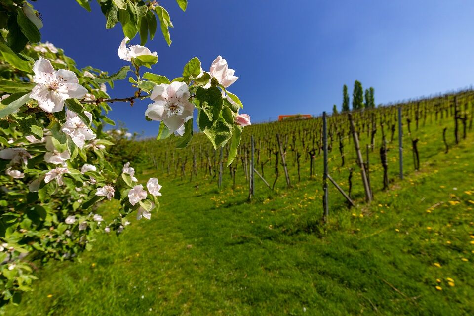
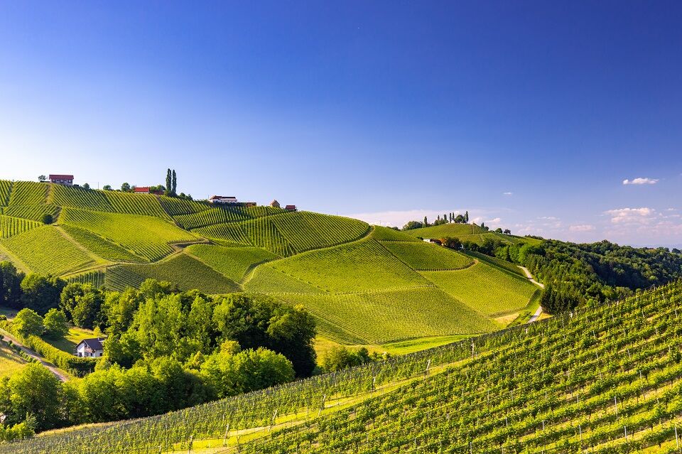
Circular hiking trail through the cadastral municipality of Gamlitz: forest, meadows & vineyards line this beautiful route!
- Difficoltà
-
intermedio
- Valutazione
-
- Percorso
-
GamlitzGrubtal5,1 kmGamlitz6,6 km
- La stagione migliore
-
genfebmaraprmaggiulugagosetottnovdic
- Punto più alto
- 377 m
- Destinazione
-
Sportplatz Gamlitz
- Profilo altimetrico
-


-

-
AutoreIl tour Grubtaler Weg, Nr. 2 è utilizzato da outdooractive.com fornito.
GPS Downloads


Info generali
Punto di ristoro
Promettente
Altri tour nelle regioni
-
Südsteiermark
1132
-
Maribor-Pohorje
261
-
Gamlitz
290