Gaaler Höhe starting from Gaal

Logo Gaaler Höhe starting from Gaal
Dati percorsi
10,03km
858 - 1.515m
Distanz
655hm
650hm
L'ascesa
04:00h
 
Durata
Descrizione rapida

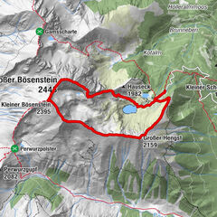
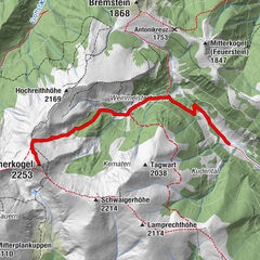
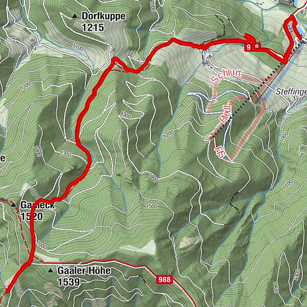
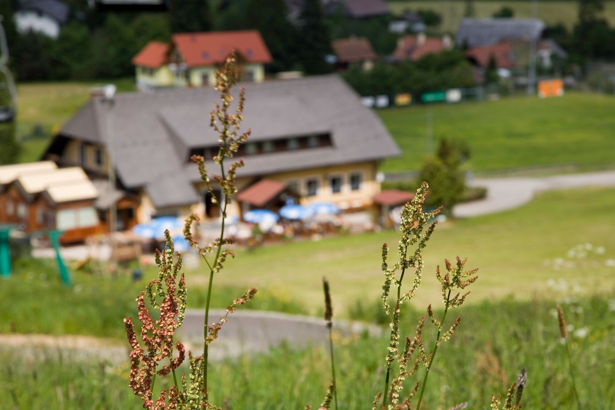
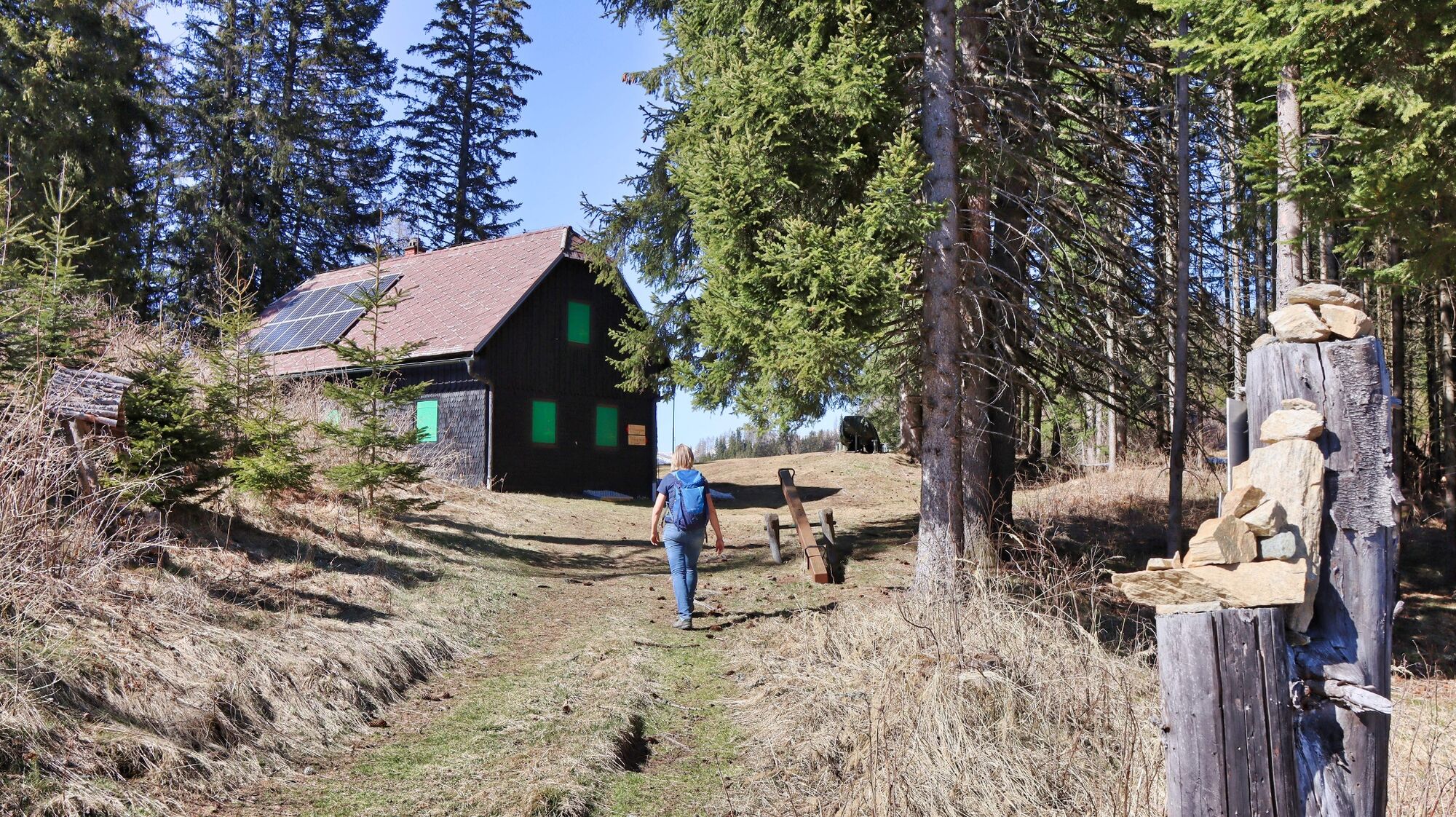
A wooded hike from the Gaal sports center parking lot to the Gaal ridge.

Difficoltà
intermedio
Valutazione
Tecnica
Forma fisica
Panorama
Avventura / Esperienza
Percorso

La stagione migliore
gen
feb
mar
apr
mag
giu
lug
ago
set
ott
nov
dic
Punto più alto
1.515 m
Destinazione

Parking lot sports center Gaal

Profilo altimetrico

Autore
Il tour Gaaler Höhe starting from Gaal è utilizzato da outdooractive.com fornito.

Valutazione complessiva

5

0

%

4

0

%

3

0

%

2

0

%

1

0

%

Errore
Si è verificato un errore. Si prega di riprovare.
Grazie per la vostra recensione

La valutazione è stata cancellata

GPS Downloads
  • GPX GPS Exchange Format (XML)
  • KML Google Earth, Google Maps
Codici di download QR per telefoni cellulari

Info generali

Punto di ristoro
Promettente
Altri tour nelle regioni

Tour popolari della zona

Großer Bösenstein - Kleiner Bösenstein - Großer Hengst

difficile Escursionismo
8,79km | 861hm | 04:30h

Hochreichart

difficile Escursionismo
10,11km | 1236hm | 05:45h

Hämmerkogel

intermedio Escursionismo
11,52km | 918hm | 05:30h