- Descrizione rapida
-
A promising trail round for everyone.
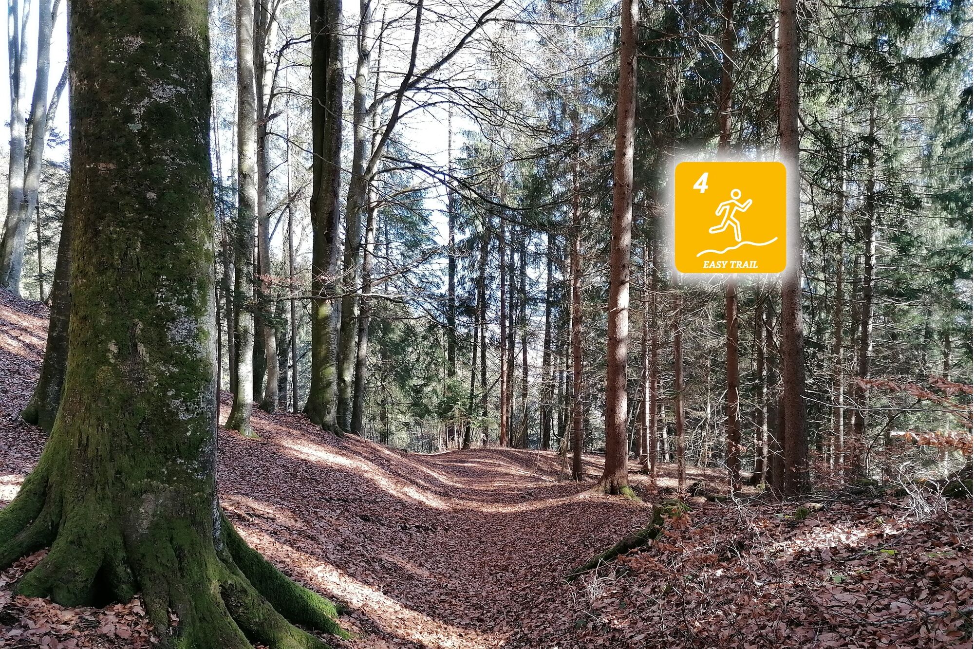
- Difficoltà
-
facile
- Valutazione
-
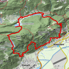
- Percorso
-
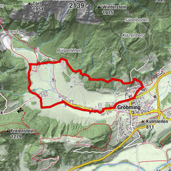
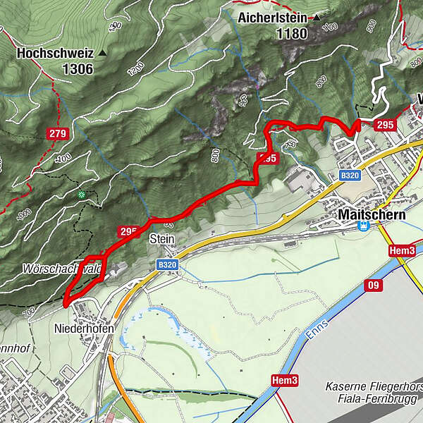
Gasthaus Weitgasser0,0 kmMaitschern0,1 kmStein1,8 kmRochus Kapelle2,6 kmMaitschern5,1 kmGasthaus Weitgasser5,2 km
- La stagione migliore
-
genfebmaraprmaggiulugagosetottnovdic
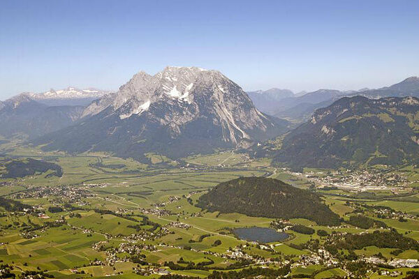
- Punto più alto
- 748 m
- Destinazione
-
Gasthaus Weitgasser
- Profilo altimetrico
-

- Autore
-
Il tour Cross-round Fürstensteig è utilizzato da outdooractive.com fornito.
GPS Downloads


Info generali
Punto di ristoro
Suggerimento
Altri tour nelle regioni