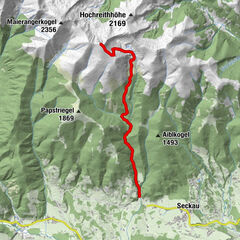
Apfelberg Panorama Trail starting from Knittelfeld

Escursionismo

© Weges OG

© Weges OG

© Weges OG

© Weges OG

© Weges OG

© Weges OG

© Weges OG

© Weges OG

© Weges OG


- Descrizione rapida
-
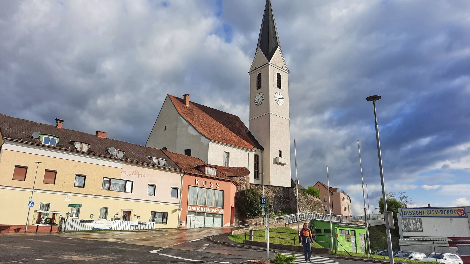
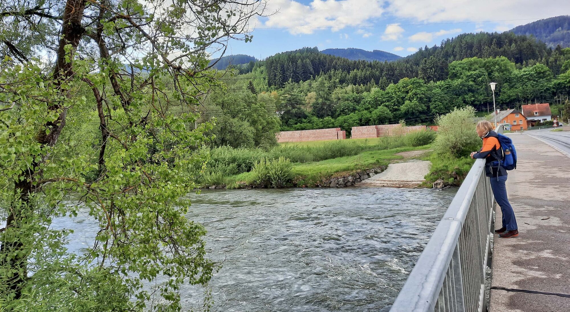
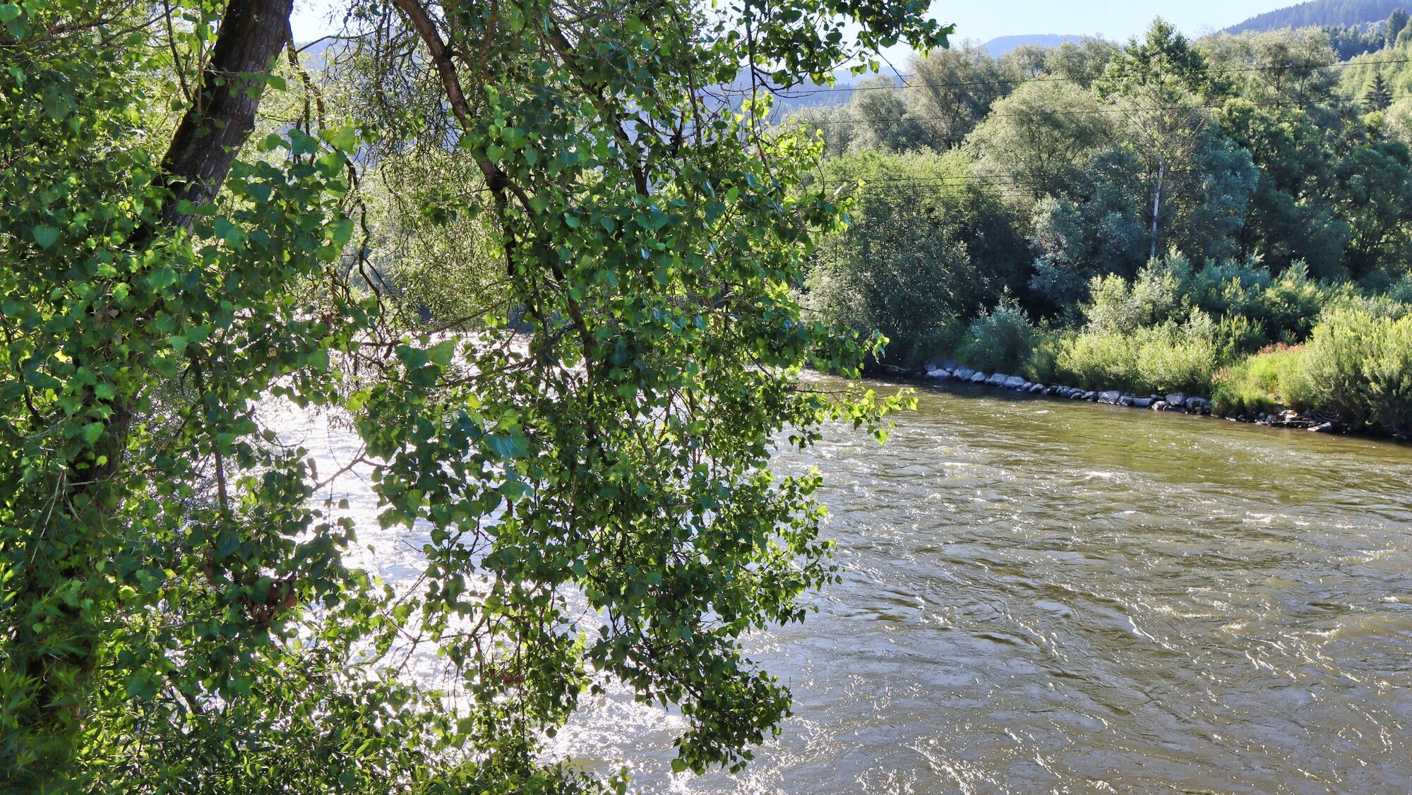
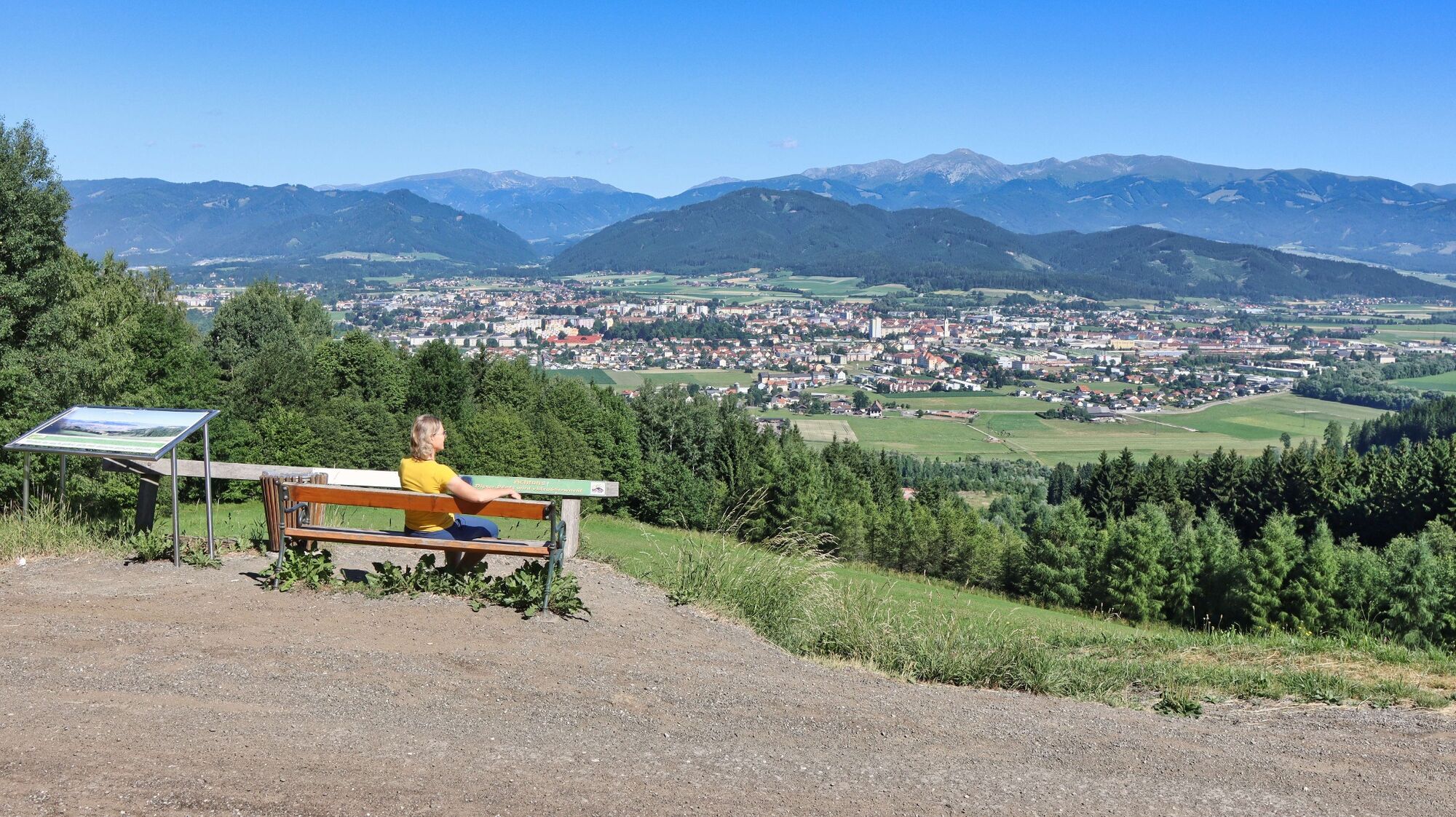
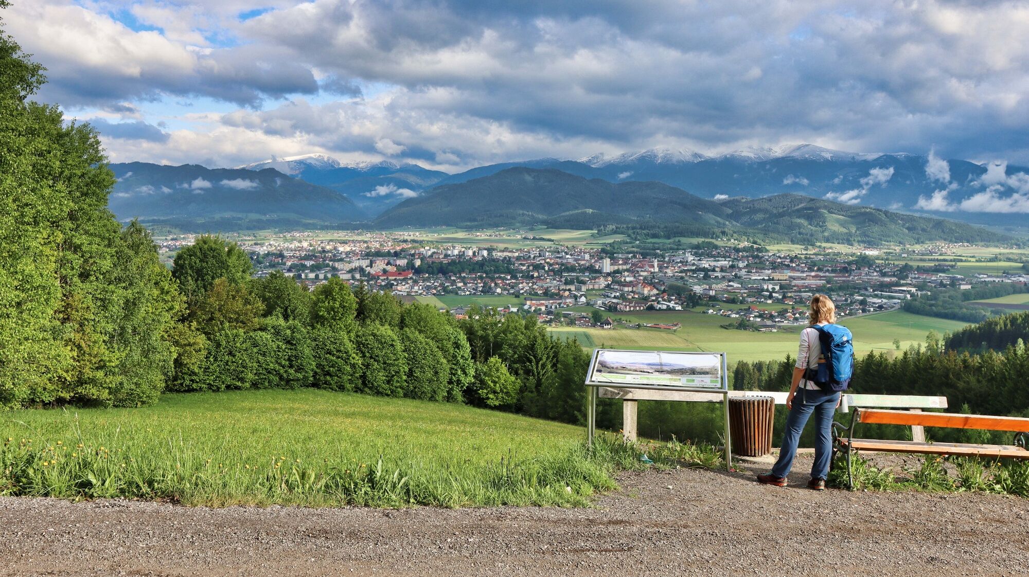
An easy circular hike with a cozy stop for refreshments and a fantastic view of Knittelfeld and the surrounding area.
- Difficoltà
-
facile
- Valutazione
-
- Percorso
-
KnittelfeldStadtpfarrkirche Christus als König0,2 kmKirche der Siebenten-Tags-Adventisten0,6 kmGh. Mayerdorfer1,0 kmLandschach1,6 kmThalberghof5,7 kmLandschach8,3 kmGh. Mayerdorfer8,6 kmKirche der Siebenten-Tags-Adventisten9,3 kmStadtpfarrkirche Christus als König9,7 kmKnittelfeld9,8 km
- La stagione migliore
-
genfebmaraprmaggiulugagosetottnovdic
- Punto più alto
- 828 m
- Destinazione
-
Knittelfeld main square / Knittelfeld train station
- Profilo altimetrico
-


- Autore
-
Il tour Apfelberg Panorama Trail starting from Knittelfeld è utilizzato da outdooractive.com fornito.
GPS Downloads


Info generali
Punto di ristoro
Promettente
Altri tour nelle regioni
-
Erlebnisregion Murtal
1783
-
Steirisches Zirbenland
711
-
Knittelfeld
161