HWW hiking route: St. Lorenzen am Wechsel - Flourl´s Tavern - Friedberg

Sentiero tematico

© Oststeiermark Tourismus - Andreas Salmhofer

- Descrizione rapida
-
This HWW hiking route is part of the Wechselland Historical Long-Distance Hiking Trail (HWW), which tells the story of Wechselland along more than 100 HWW stations. More information can be found at www.wechsel-wandern.at.
- Difficoltà
-
intermedio
- Valutazione
-
- Percorso
-
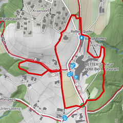
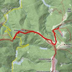
Sankt Lorenzen am WechselHl. Laurentius0,1 kmAuerbach2,1 kmMostschank Zinggl-Bäck6,9 kmKapelle8,4 kmBergen8,7 kmSchwaighof12,2 kmOrtskapelle Herz Jesu12,2 kmSpielplatz Burg Friedberg14,1 kmPfarrkirche hl. Jakobus der Ältere14,6 kmFriedberg14,6 km
- La stagione migliore
-
genfebmaraprmaggiulugagosetottnovdic
- Punto più alto
- 884 m
- Destinazione
-
Friedberg, main square
- Profilo altimetrico
-


-

-
AutoreIl tour HWW hiking route: St. Lorenzen am Wechsel - Flourl´s Tavern - Friedberg è utilizzato da outdooractive.com fornito.
GPS Downloads


Info generali
Culturale/Storico
Altri tour nelle regioni
-
Wiener Alpen
3048
-
Kräuterregion Wechselland
1085
-
Dechantskirchen
235