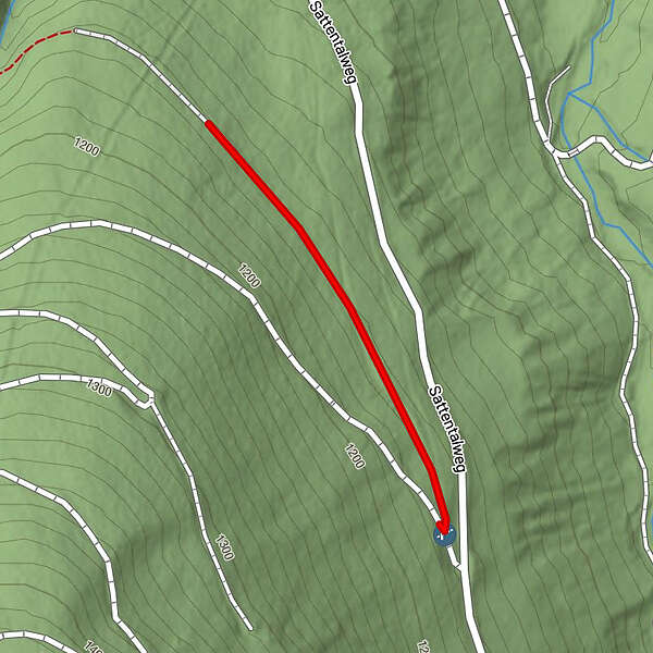
Klimafitte Wiederbewaldung im Sattental

Sentiero tematico

Dati percorsi
0,48km
1.153
- 1.165m
12hm
12hm
00:07h
- Descrizione rapida
-
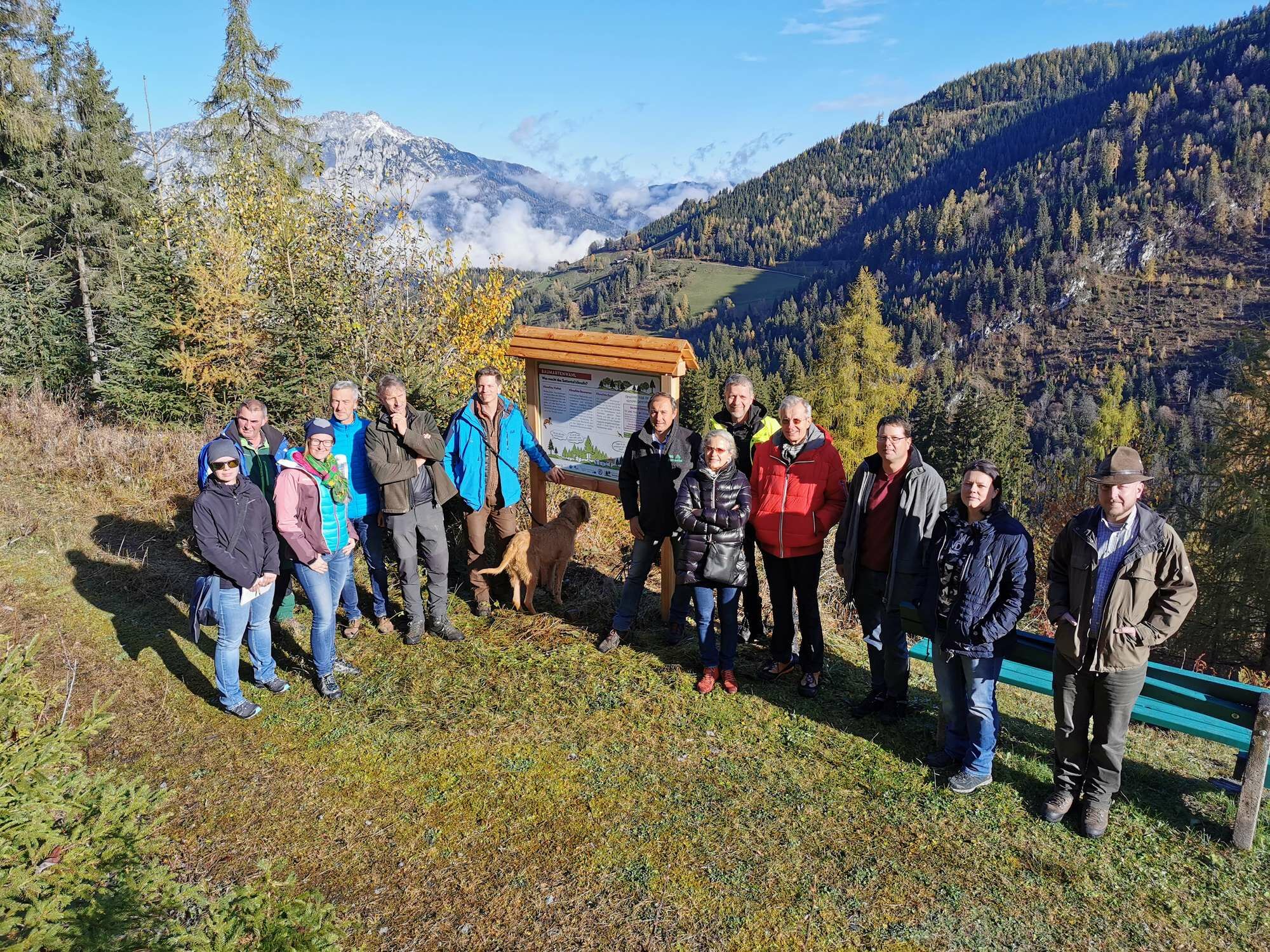
Im November 2002 zog ein schwerer Föhnsturm durch das Ennstal. Die größte Gefahr nach Windwürfen ist die Vermehrung von Schädlingen wie zum Beispiel dem Borkenkäfer. Darum müssen die kaputten Bäume rasch entfernt werden. Nach der Entfernung der kaputten Bäume beginnt die künstliche Wiederbewaldung.
- Difficoltà
-
facile
- Valutazione
-
- La stagione migliore
-
genfebmaraprmaggiulugagosetottnovdic
- Punto più alto
- 1.165 m
- Infomateriale
-
- Fonte
- Bundesforschungszentrum für Wald
GPS Downloads


Condizioni dei sentieri
Asfalto
Ghiaia
Prato
Foresta
(100)
Roccia
Esposta
Altri tour nelle regioni
-
Schladming - Dachstein
3001
-
Gröbminger Land
1190
-
Michaelerberg-Pruggern
233