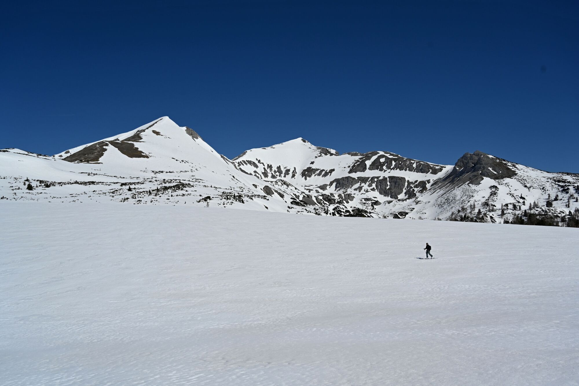
© Erlebnisregion Schladming-Dachstein - Toni Kerschbaumer
- Descrizione rapida
-
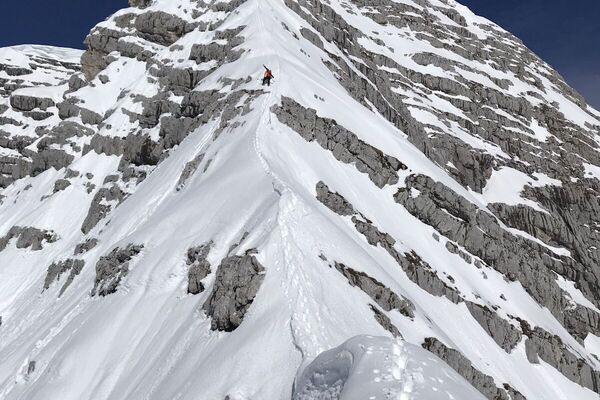
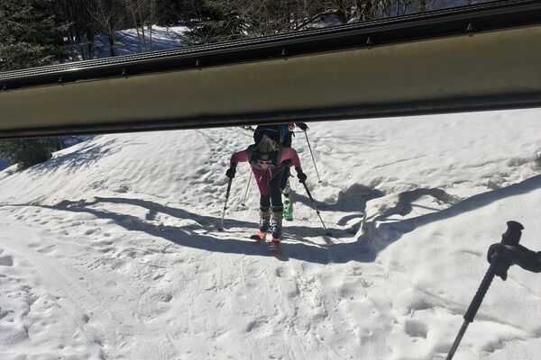
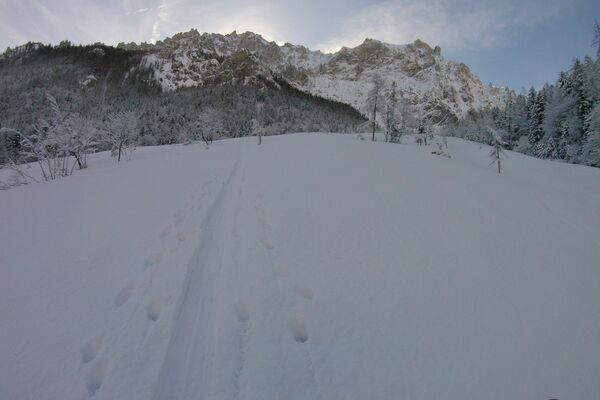
An extended but popular ski tour in the Totem Gebirge.
- Difficoltà
-
difficile
- Valutazione
-
- Percorso
-
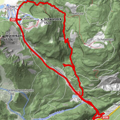
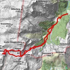
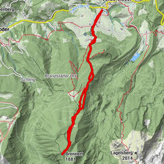
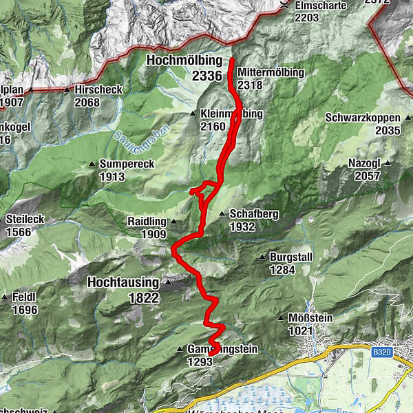
Hochtor5,0 kmFiedlbrunn5,6 kmLiezener Hütte6,5 kmQuerlstein (2.084 m)9,0 kmTeufelsmühle9,9 kmHochmölbing (2.336 m)10,6 kmMittermölbing (2.318 m)10,9 kmQuerlstein (2.084 m)11,9 kmFiedlbrunn14,5 kmHochtor15,3 km
- La stagione migliore
-
agosetottnovdicgenfebmaraprmaggiulug
- Punto più alto
- 2.326 m
- Destinazione
-
At the starting point
- Exposition
- Profilo altimetrico
-

-

-
AutoreIl tour Ski tour to the Hochmölbing è utilizzato da outdooractive.com fornito.
GPS Downloads


Info generali
Promettente
Altri tour nelle regioni