© TV Gesäuse - Tourismusverband Gesäuse

© TV Gesäuse - Tourismusverband Gesäuse

© TV Gesäuse - Tourismusverband Gesäuse

© TV Gesäuse - Tourismusverband Gesäuse

© TV Gesäuse - Tourismusverband Gesäuse

© TV Gesäuse - Tourismusverband Gesäuse

© TV Gesäuse - Tourismusverband Gesäuse

© TV Gesäuse - Tourismusverband Gesäuse

© TV Gesäuse - Tourismusverband Gesäuse

© TV Gesäuse - Tourismusverband Gesäuse

- Descrizione rapida
-
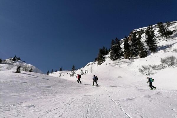
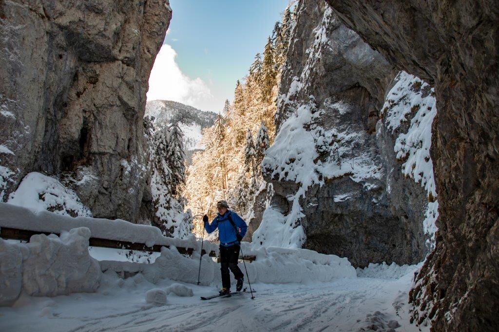
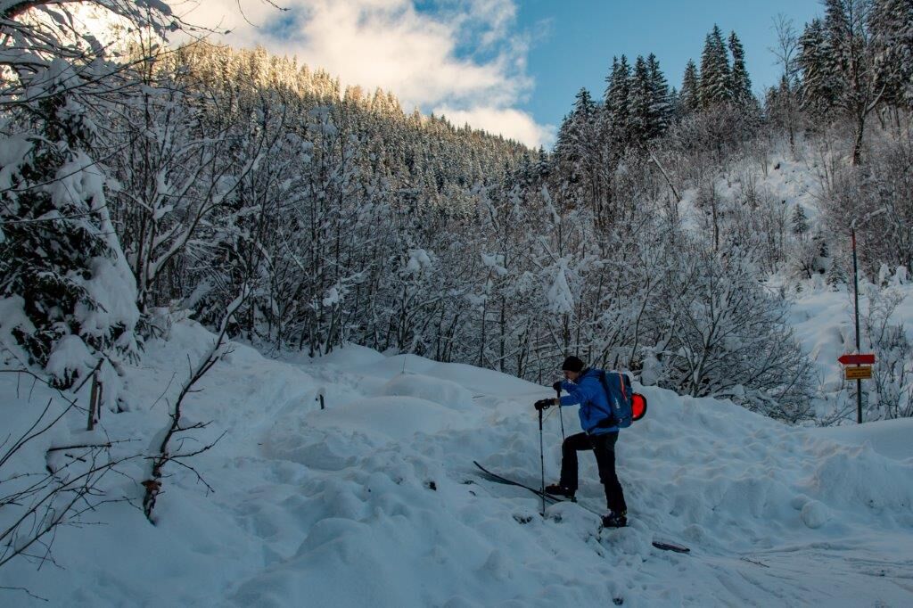
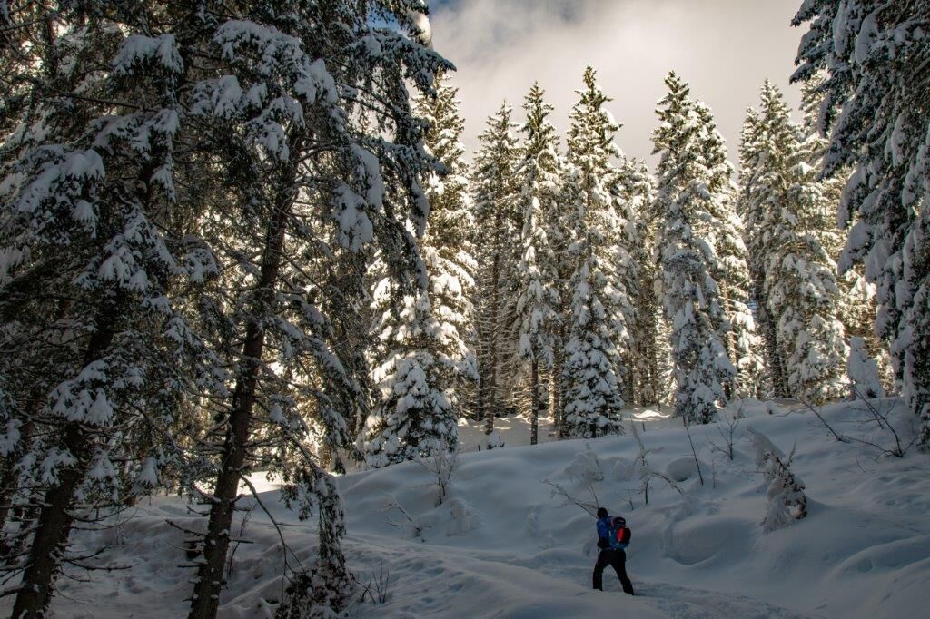
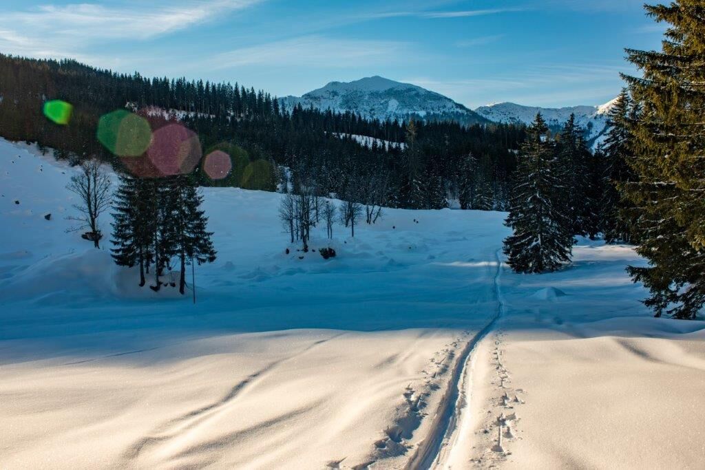
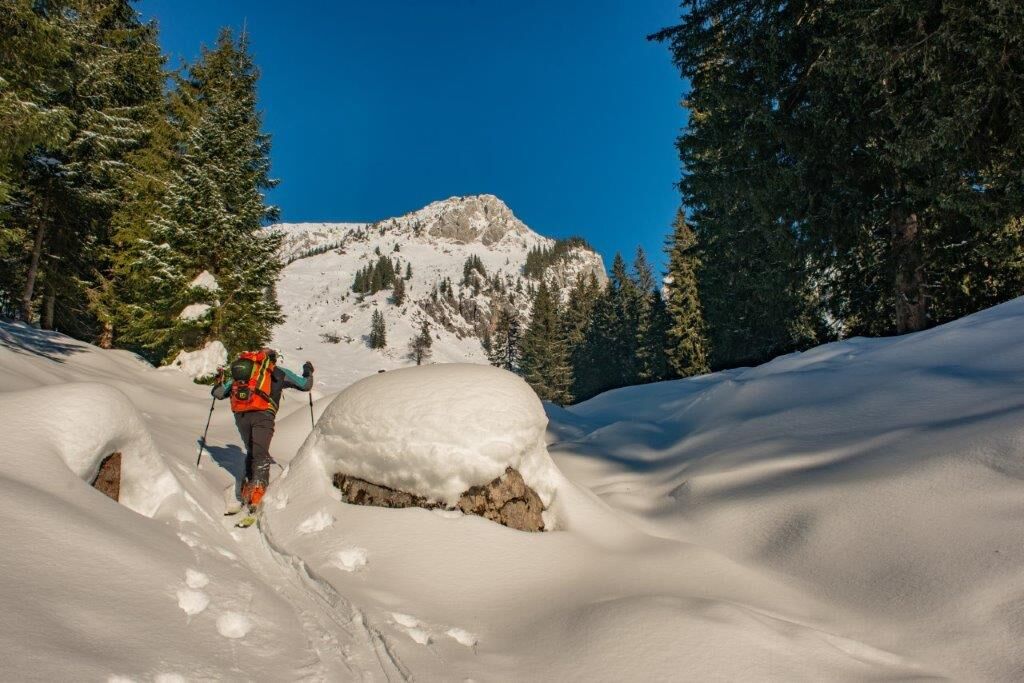
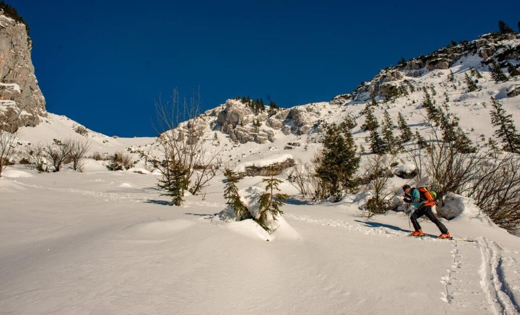
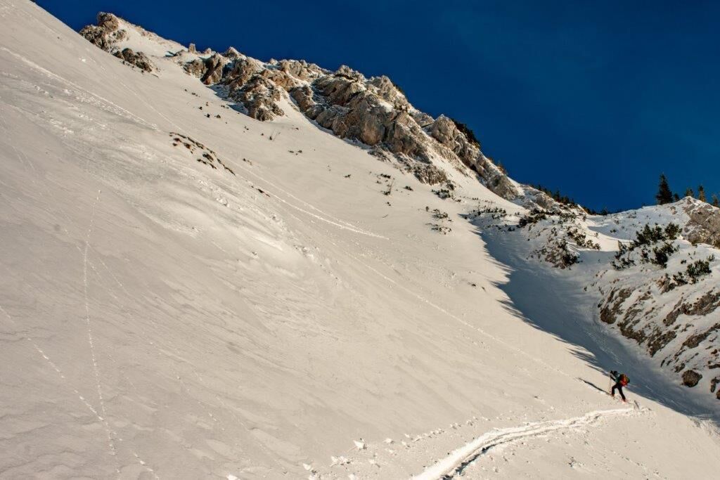
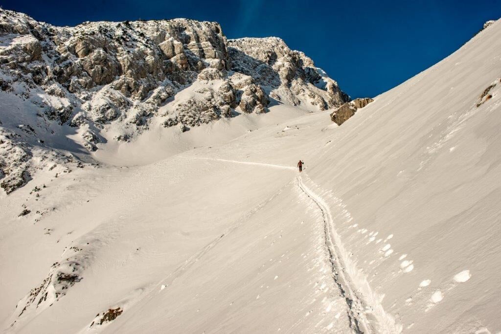
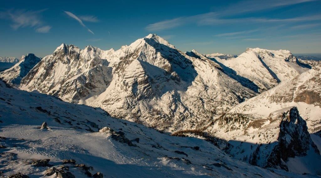
Wonderful ski tour in the Johnsbachtal. Very varied, beautiful ascent over forest roads, sparse forest, steep cirque and slopes, further over a flat ridge to the summit.
- Difficoltà
-
difficile
- Valutazione
-
- Percorso
-
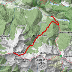
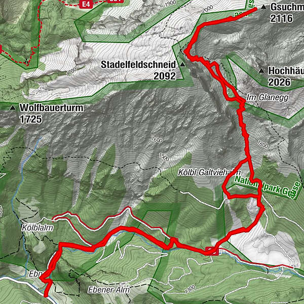
Stadelfeldschneid (2.092 m)5,2 kmGsuchmauer (2.116 m)5,8 km
- La stagione migliore
-
agosetottnovdicgenfebmaraprmaggiulug
- Punto più alto
- 2.112 m
- Destinazione
-
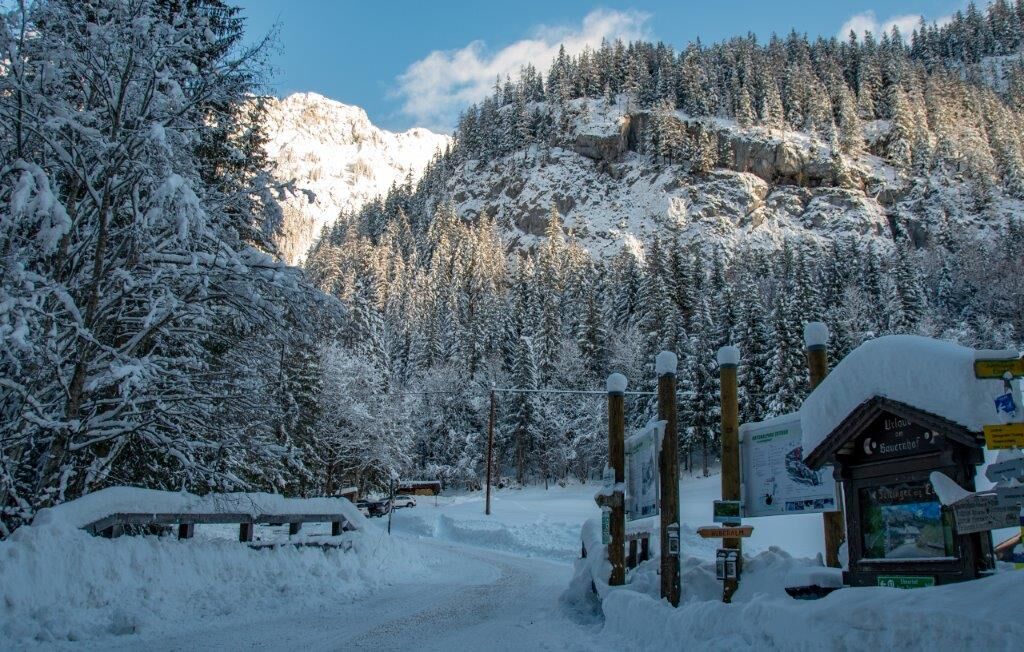
Parkplatz Ebnerklamm
- Exposition
- Profilo altimetrico
-


-

-
AutoreIl tour Gsuchmauer è utilizzato da outdooractive.com fornito.
GPS Downloads


Altri tour nelle regioni
-
Gesäuse
190
-
Wald am Schoberpass
46