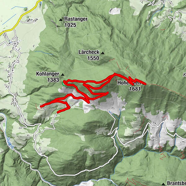
Dati percorsi
13,14km
1.066
- 1.682m
660hm
660hm
06:00h
- Descrizione rapida
-
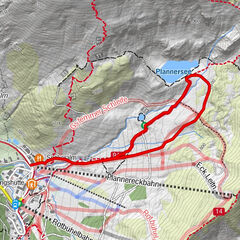
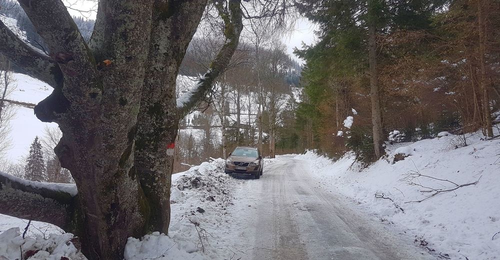
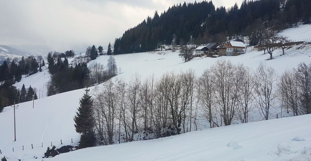
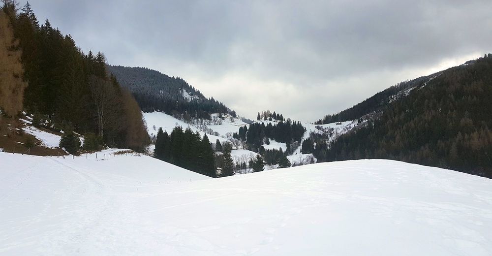
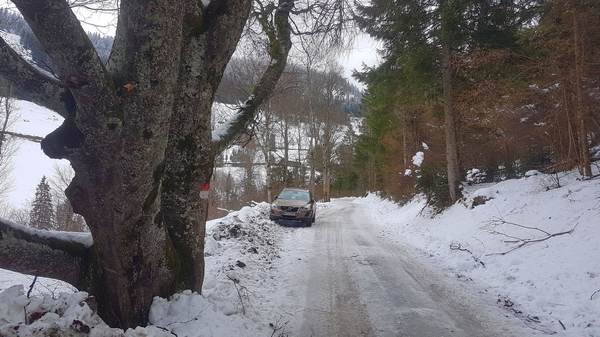
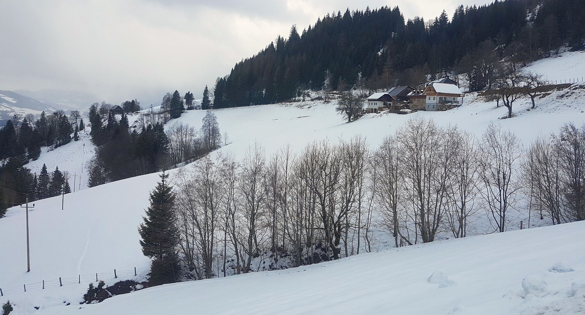
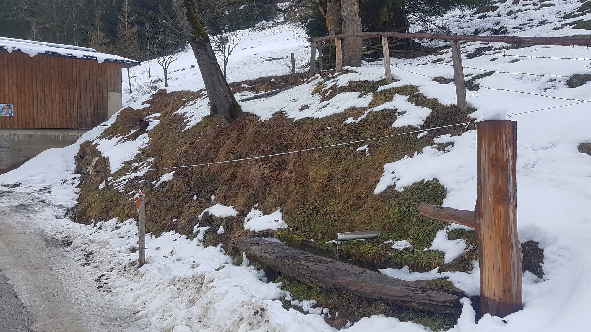
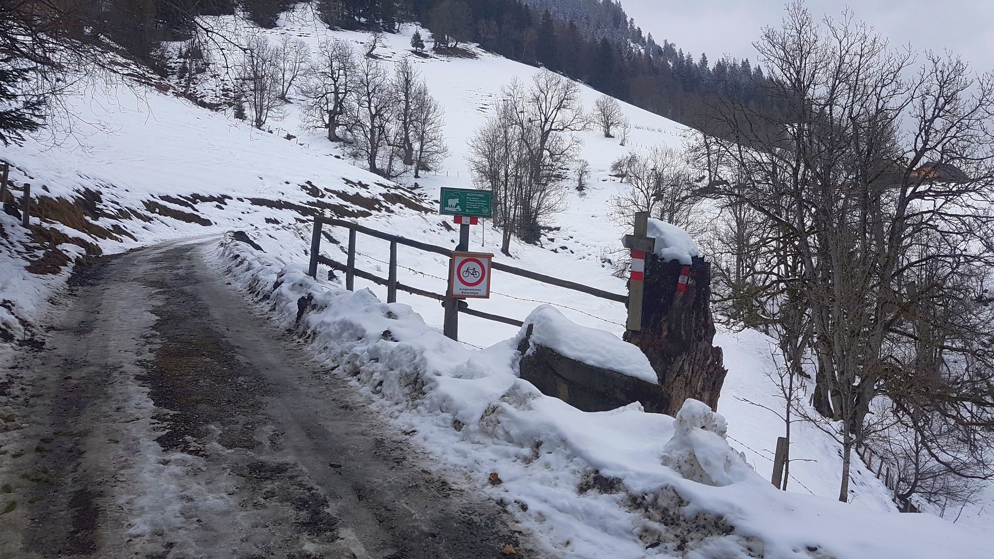
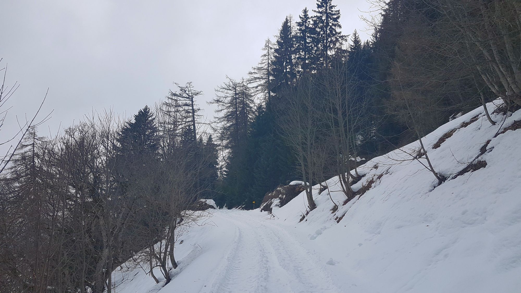
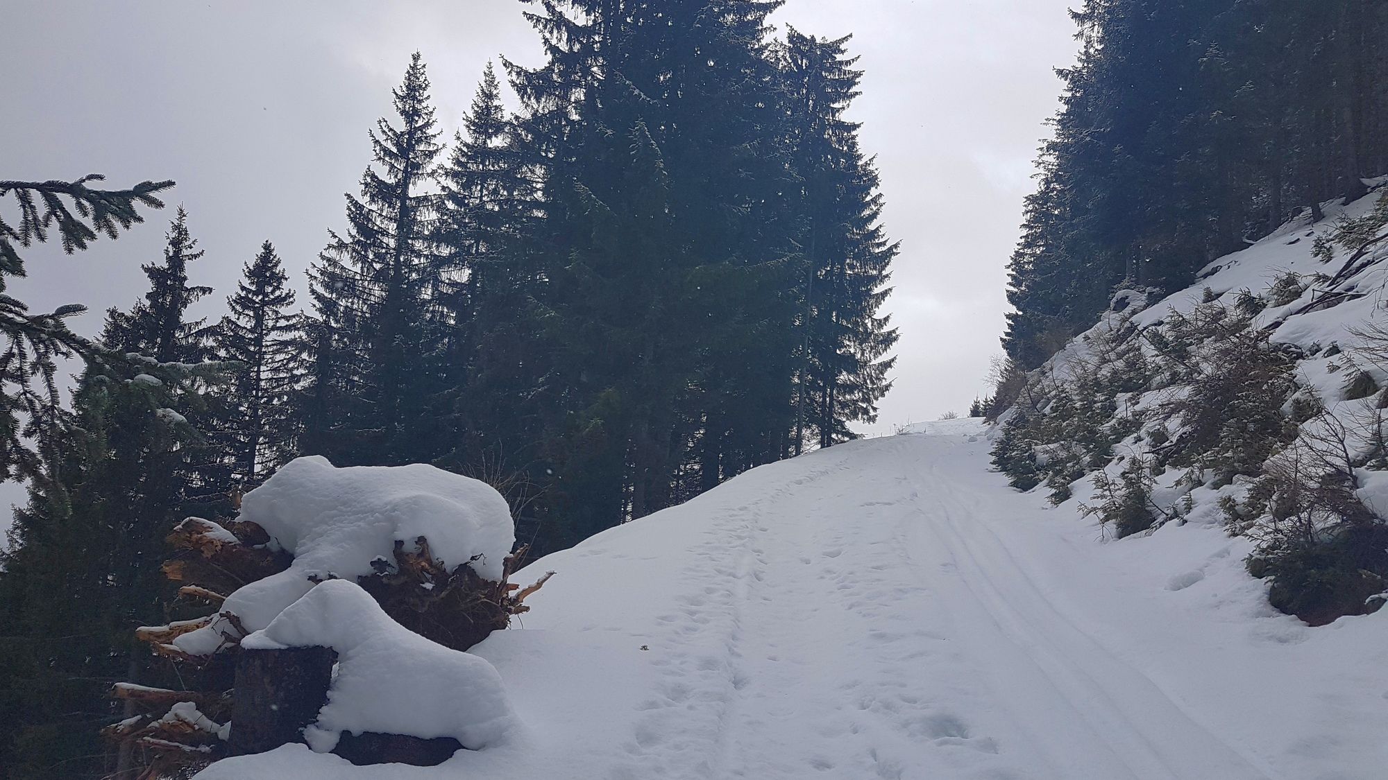
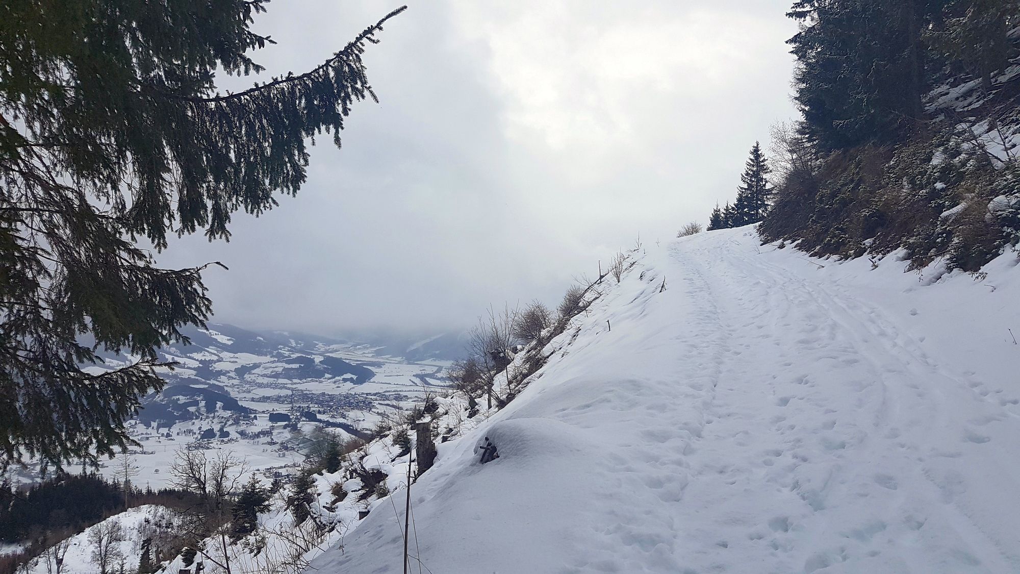
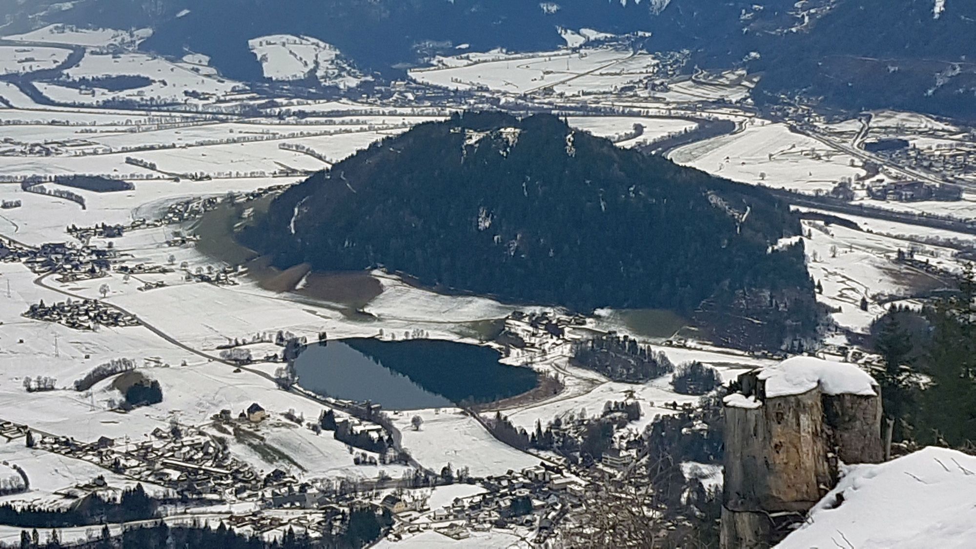
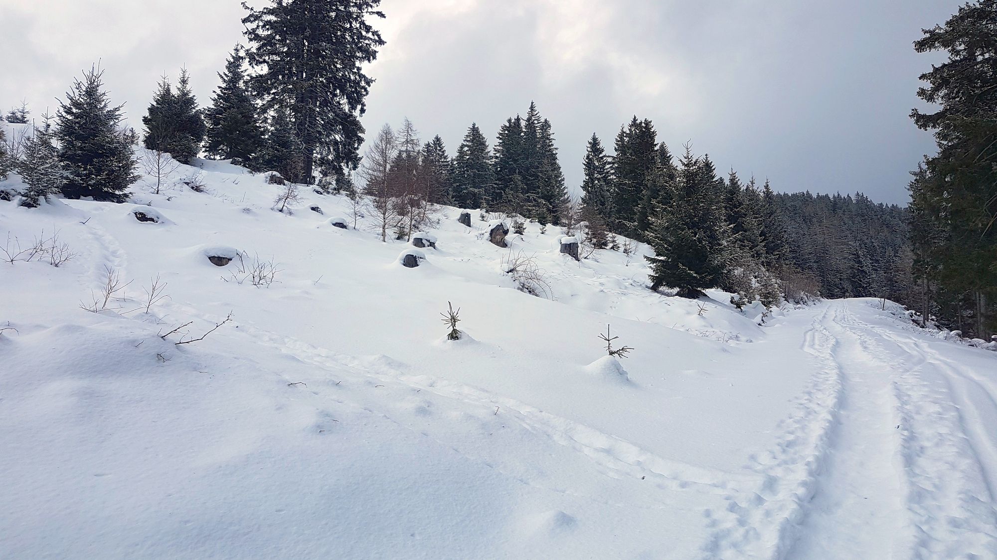
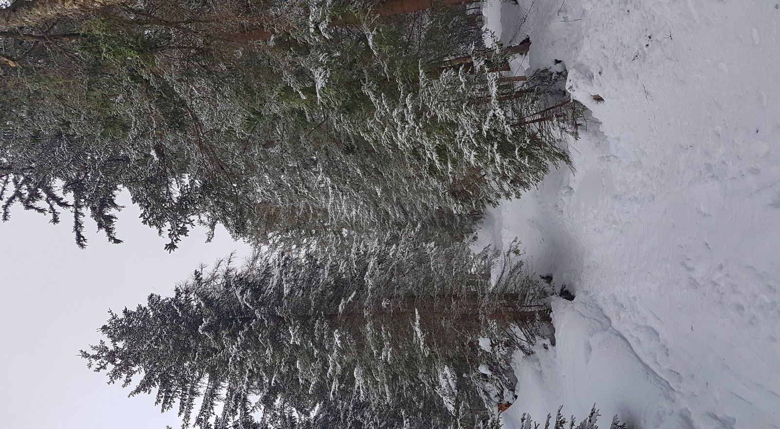
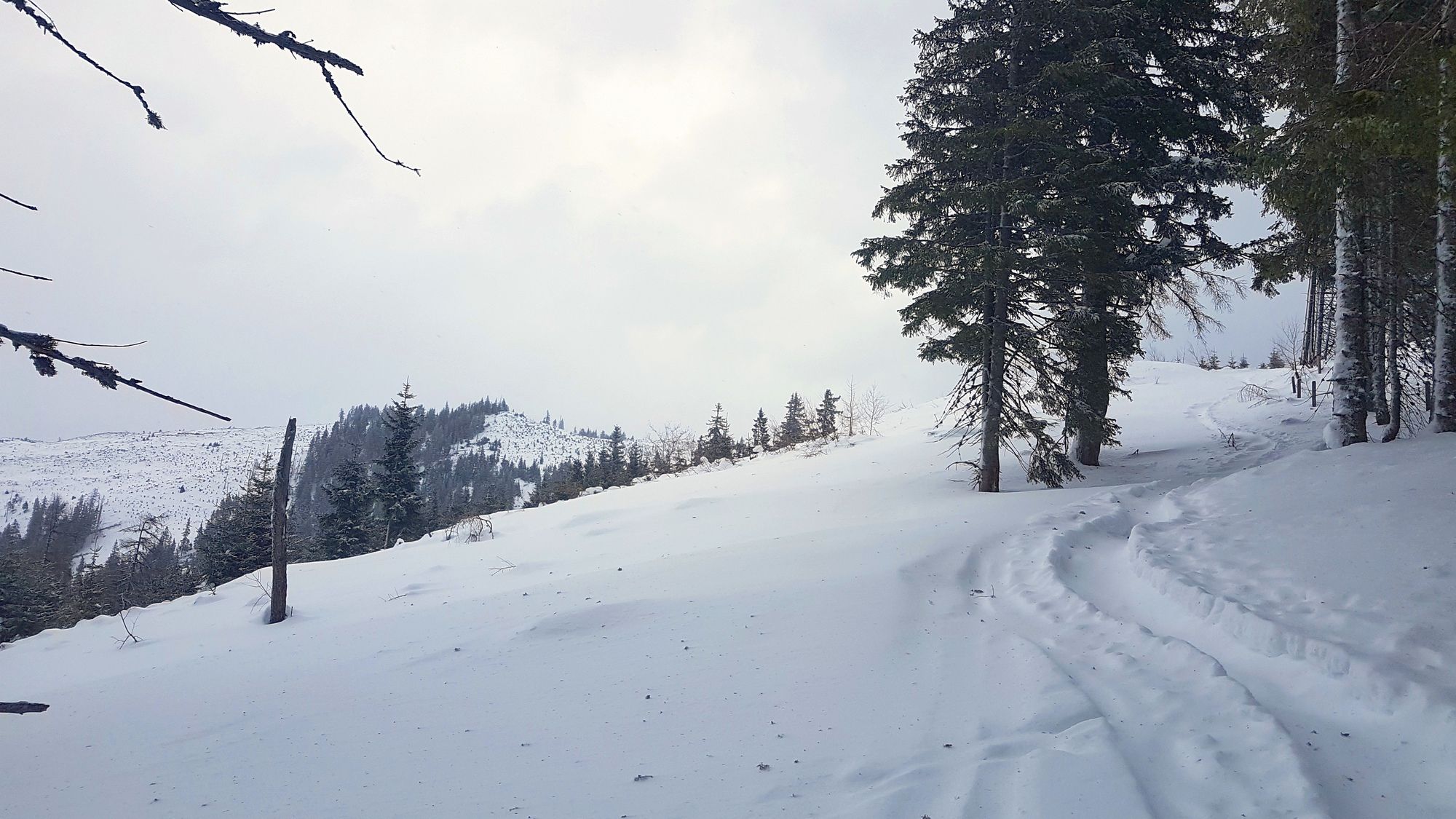
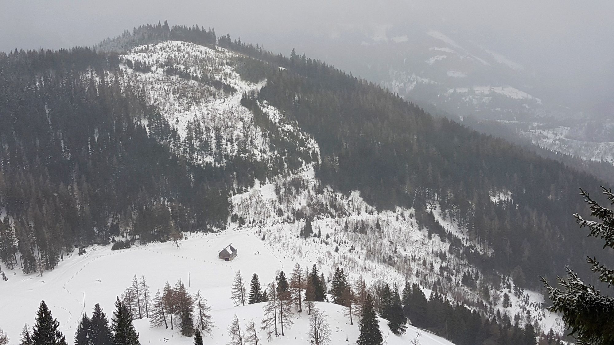
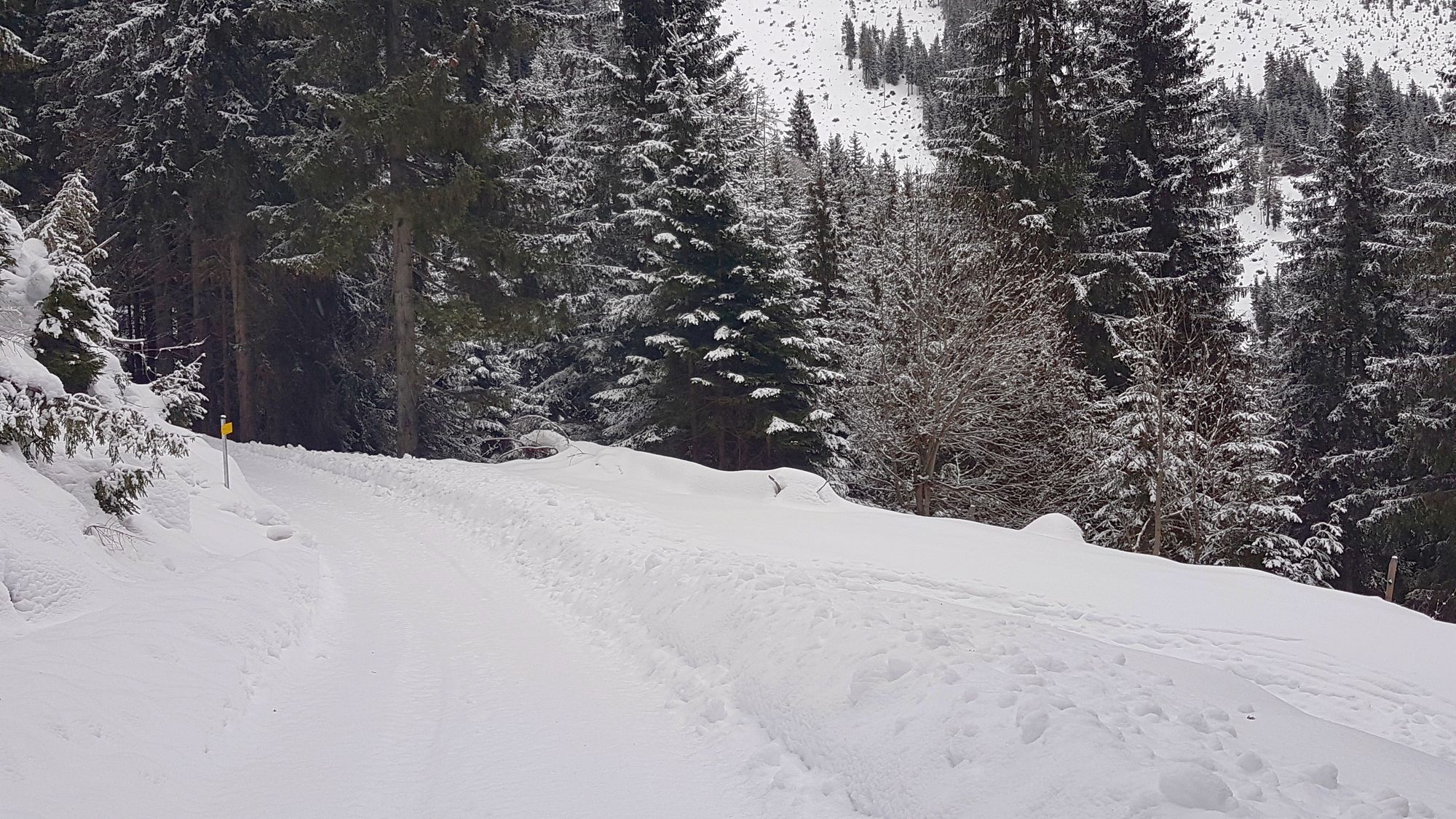
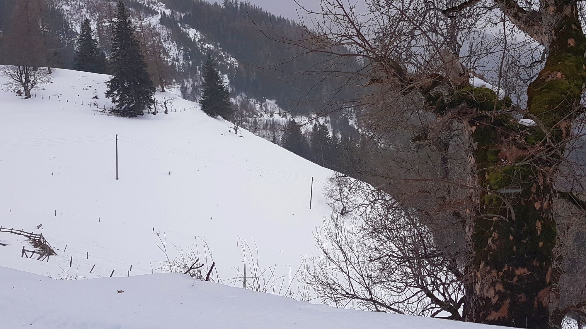
Schneeschuhwanderung in der Nähe von Aigen im Ennstal über Straßen und Spuren auf die Hohe Trett.
- Difficoltà
-
facile
- Valutazione
-
- Punto di partenza
-
Mösl
- Percorso
-
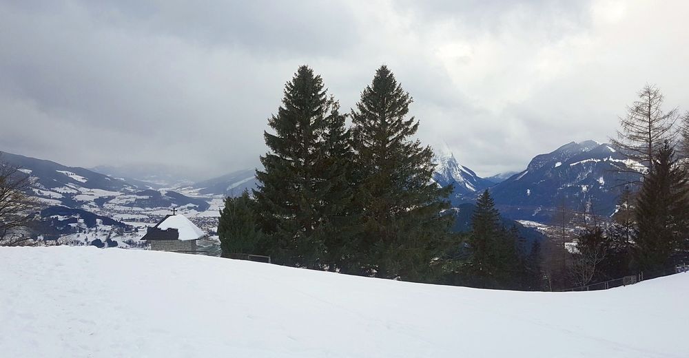
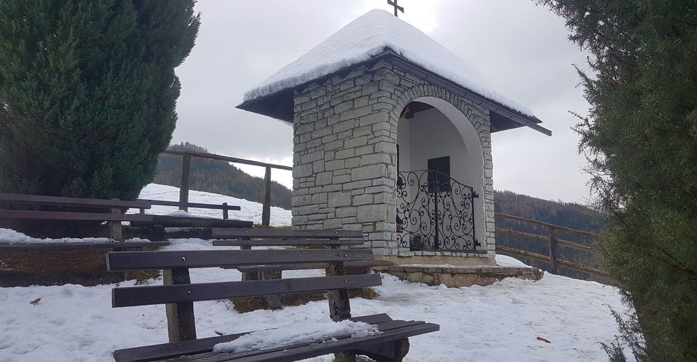
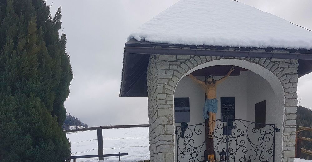
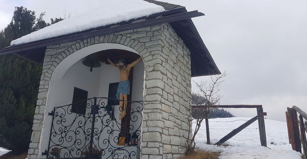
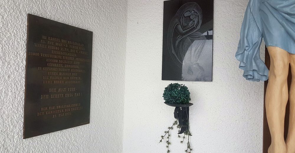
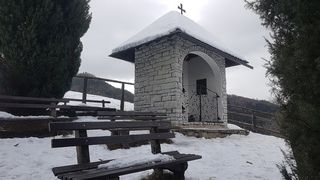
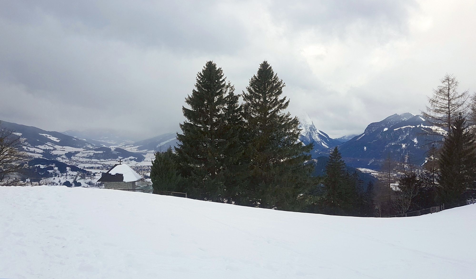
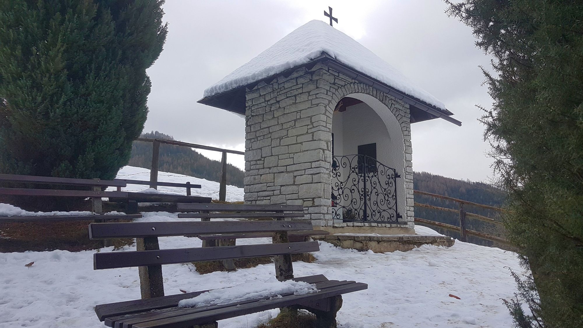
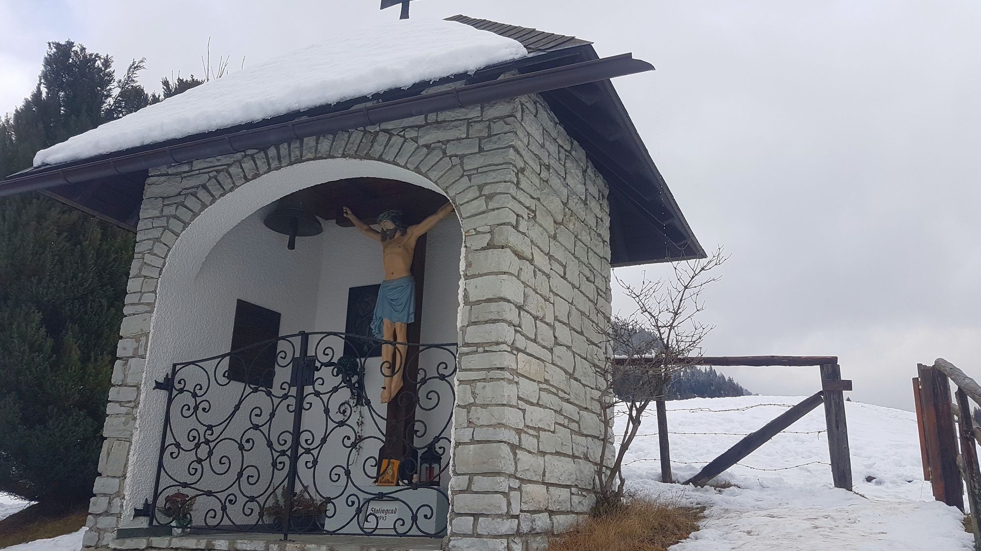
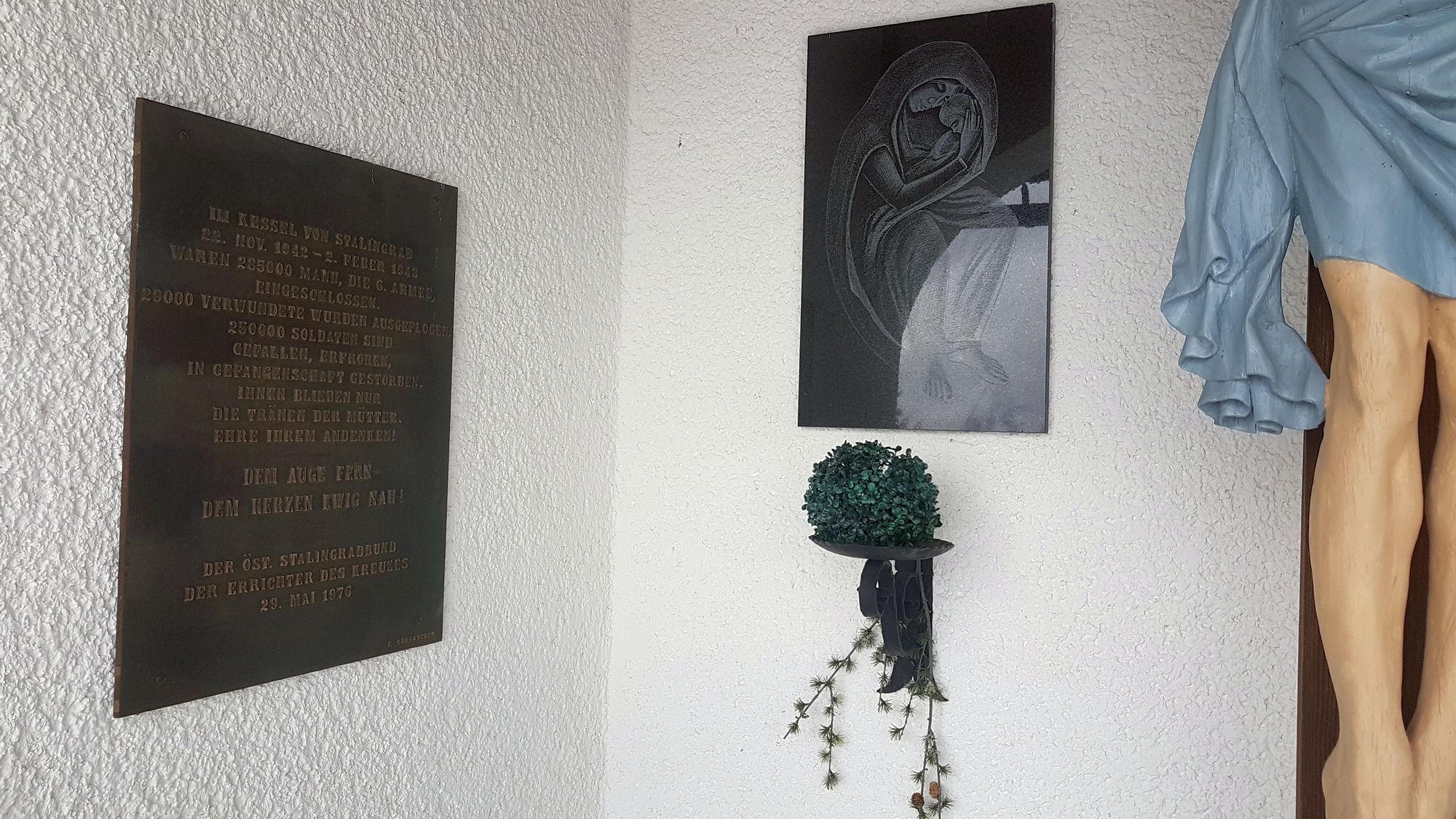
Stalingradkreuz Kapelle1,1 kmHohe Trett (1.681 m)6,7 km
- La stagione migliore
-
agosetottnovdicgenfebmaraprmaggiulug
- Punto più alto
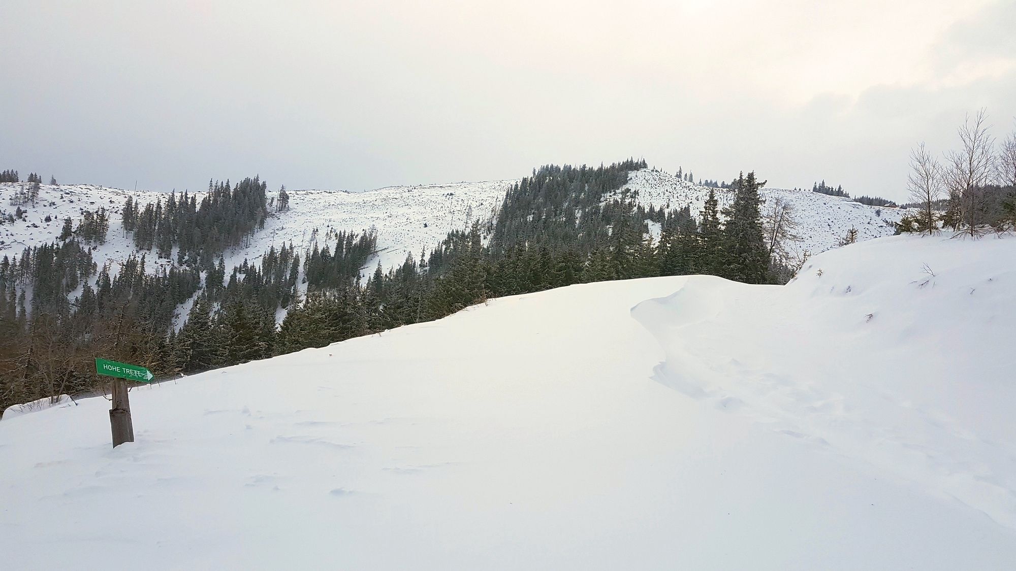
- Hohe Trett (1.682 m)
- Destinazione
-
Hohe Trett
- Informazioni
-
ROTHER Schneeschuhführer Steiermark von Silvia Sarcletti und Elisabeth Zienitzer, Tour 25 "Hohe Trett , 1681m"
- Videos
-
 4 years ago


GPS Downloads


Altri tour nelle regioni