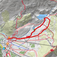
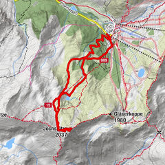
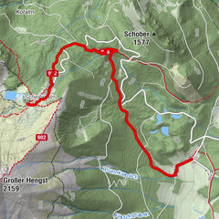
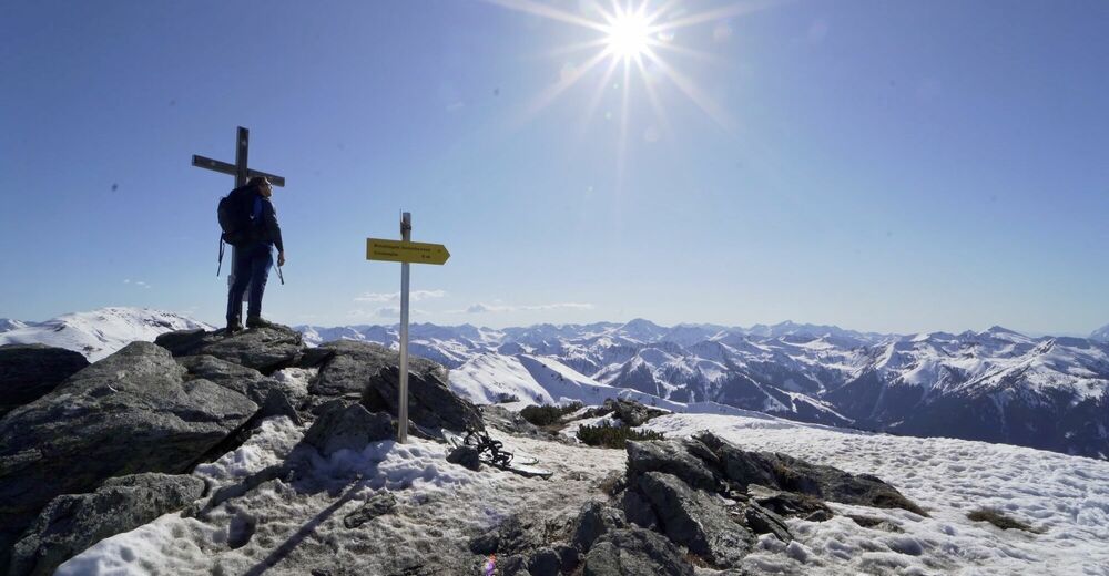
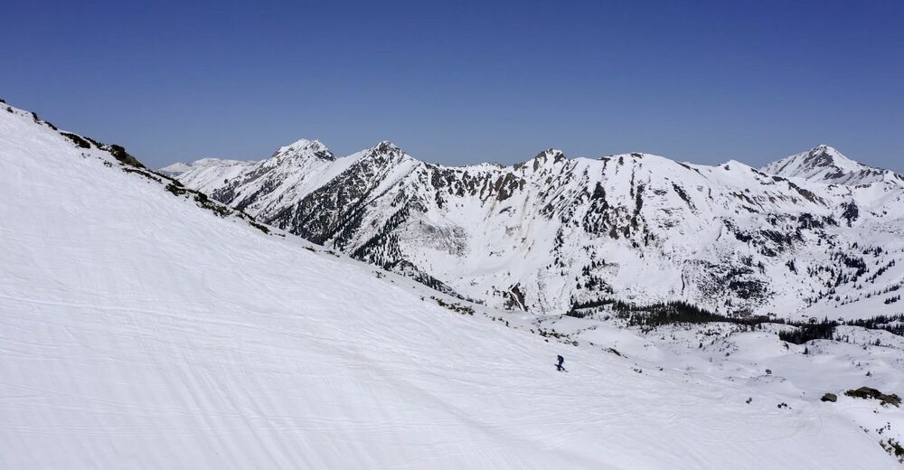
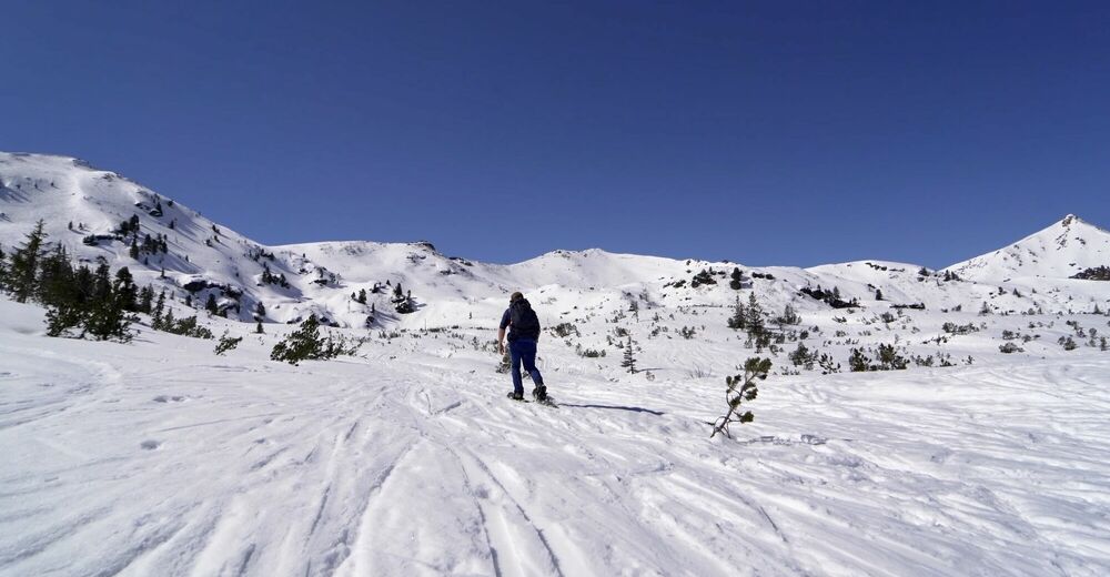
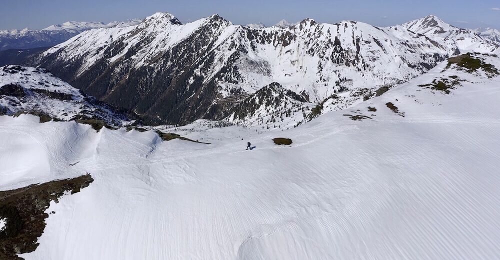
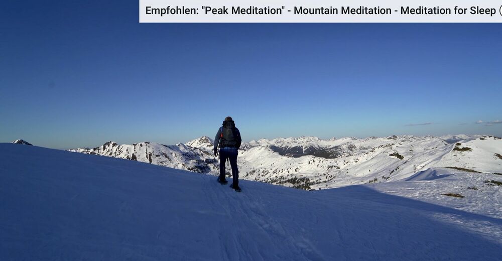
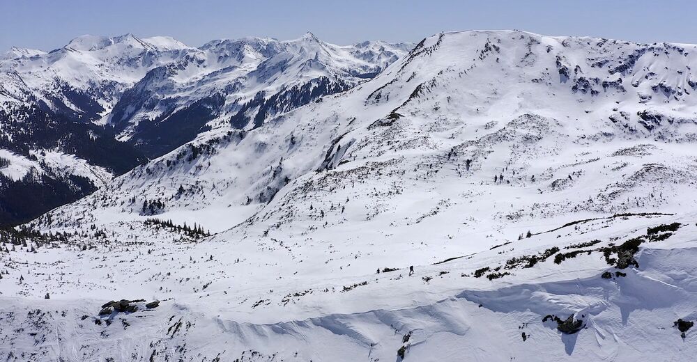
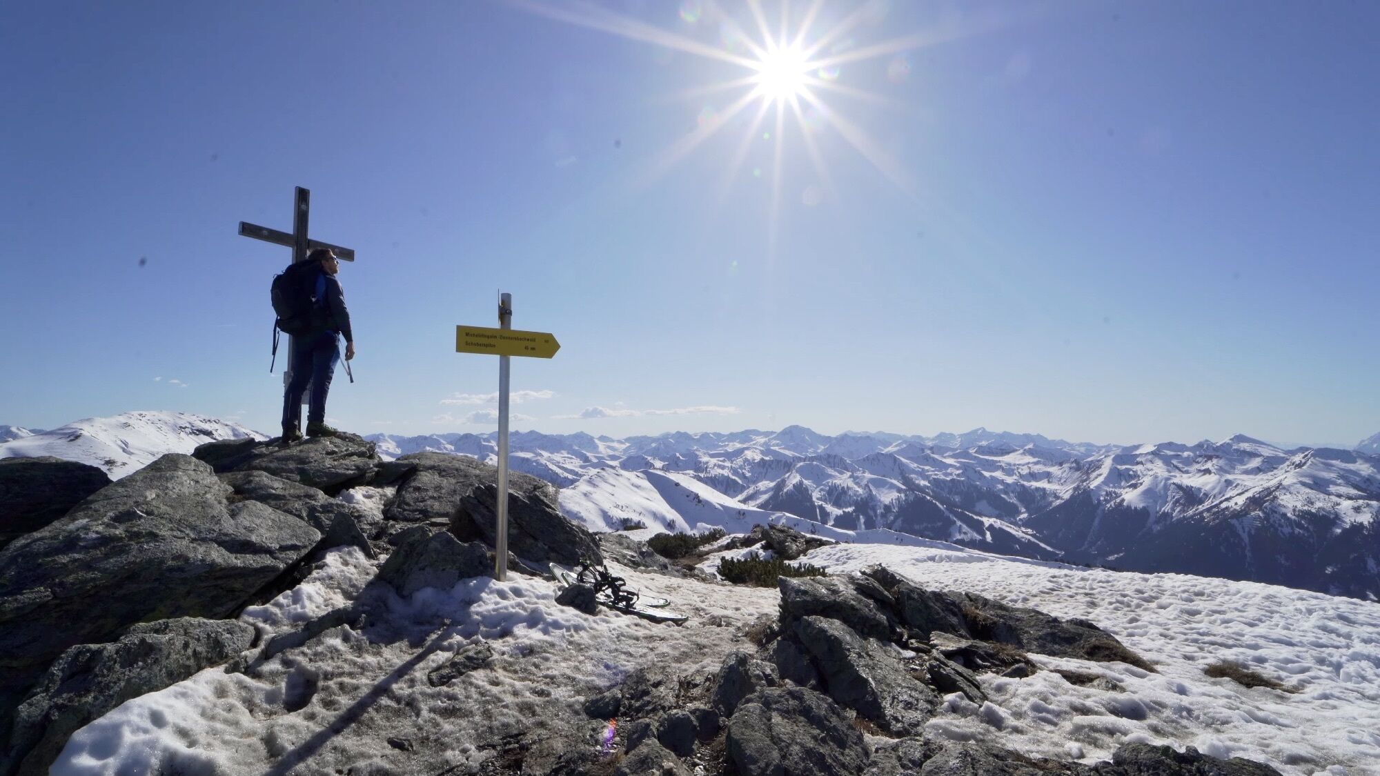
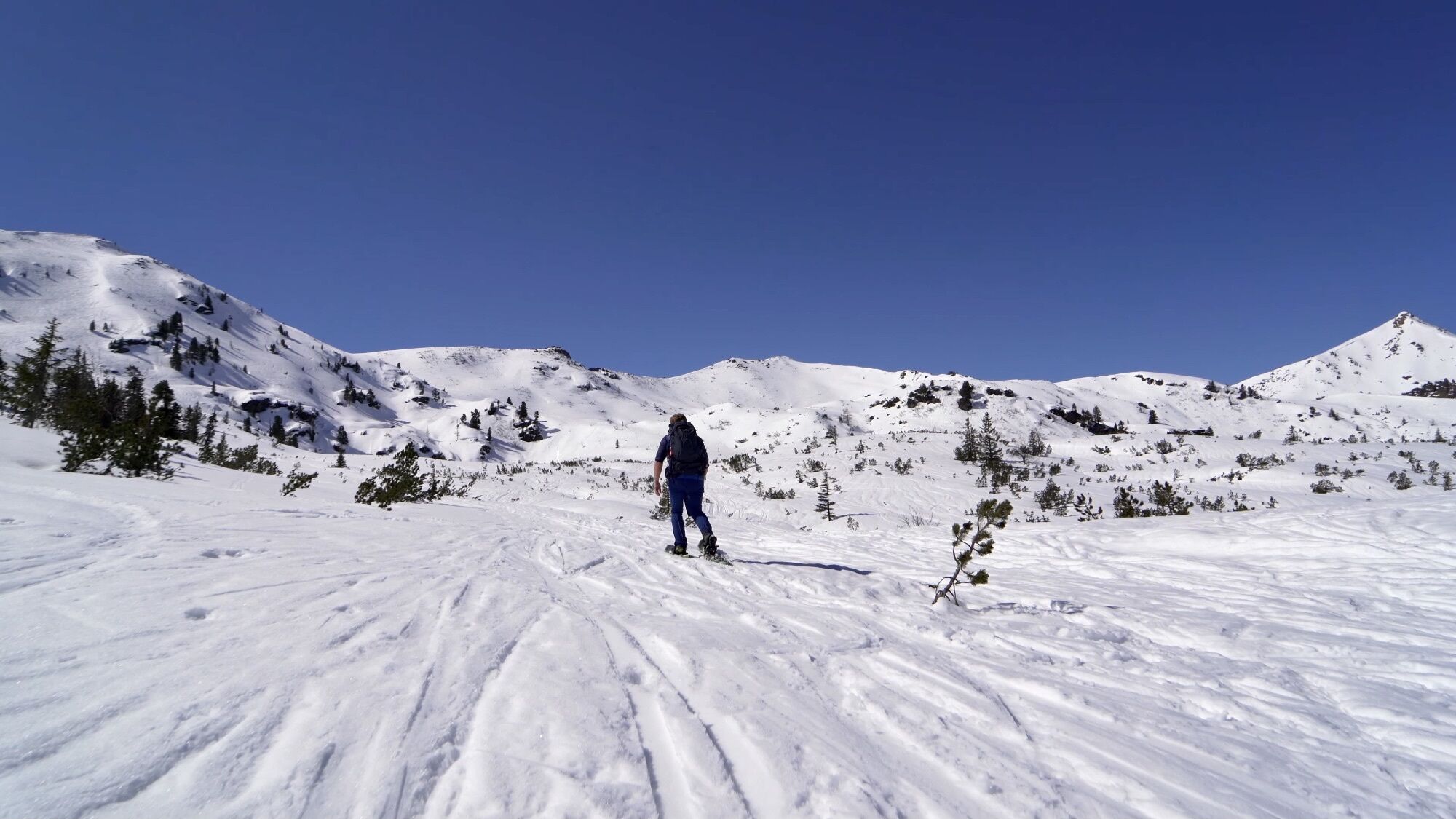
Auf die "Karlspitze" und "Schreinl" von Steiermarks höchstgelegenem Skidorf der Planneralm.

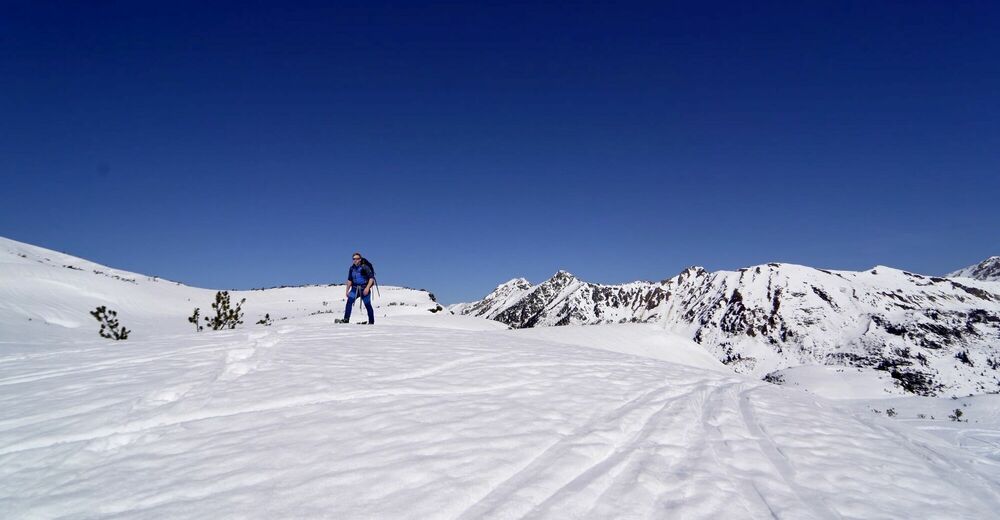
Ciaspole
Dati percorsi
9,73km
1.588
- 2.141m
645hm
609hm
06:05h
- Descrizione rapida
-
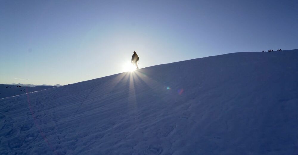
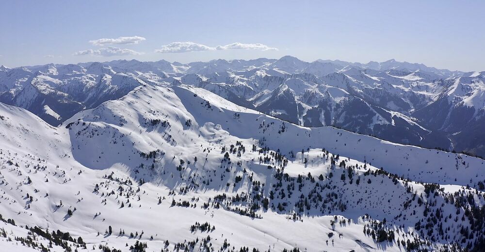
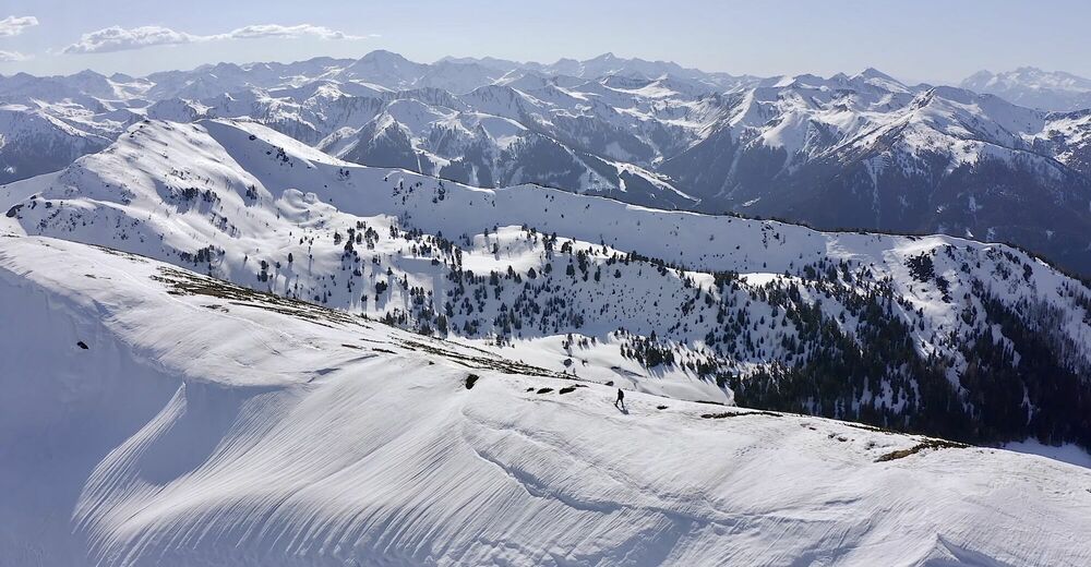
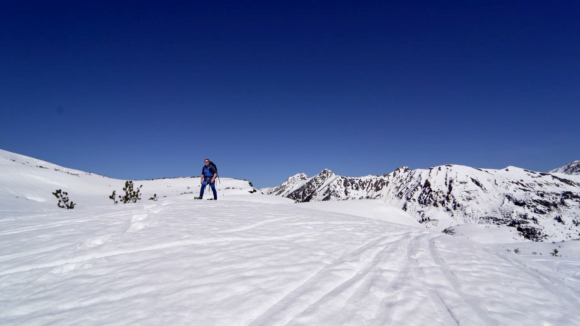
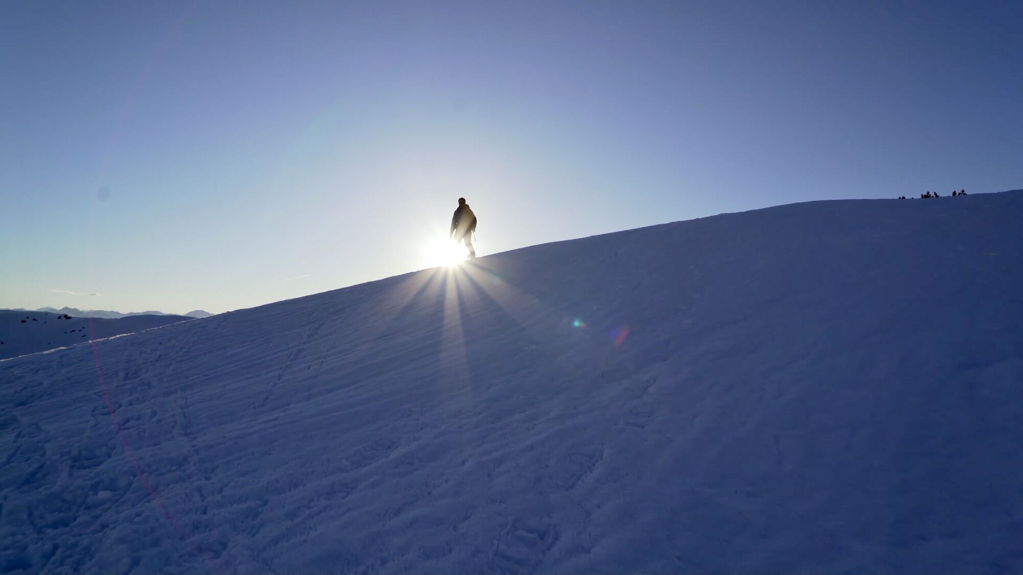
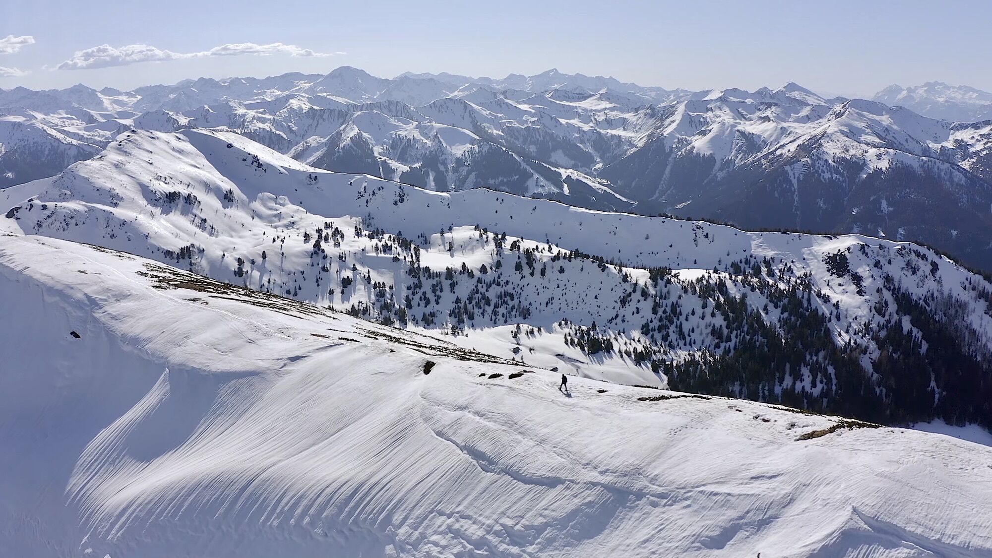
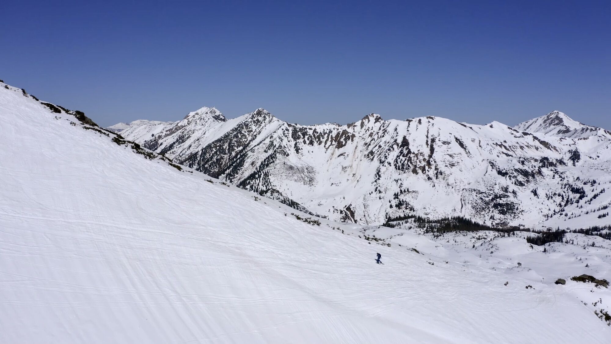
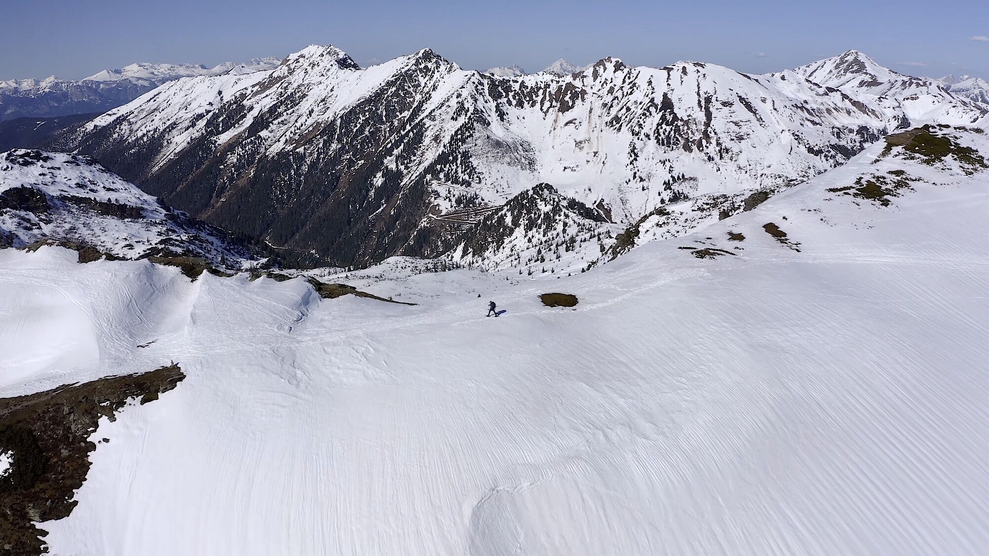
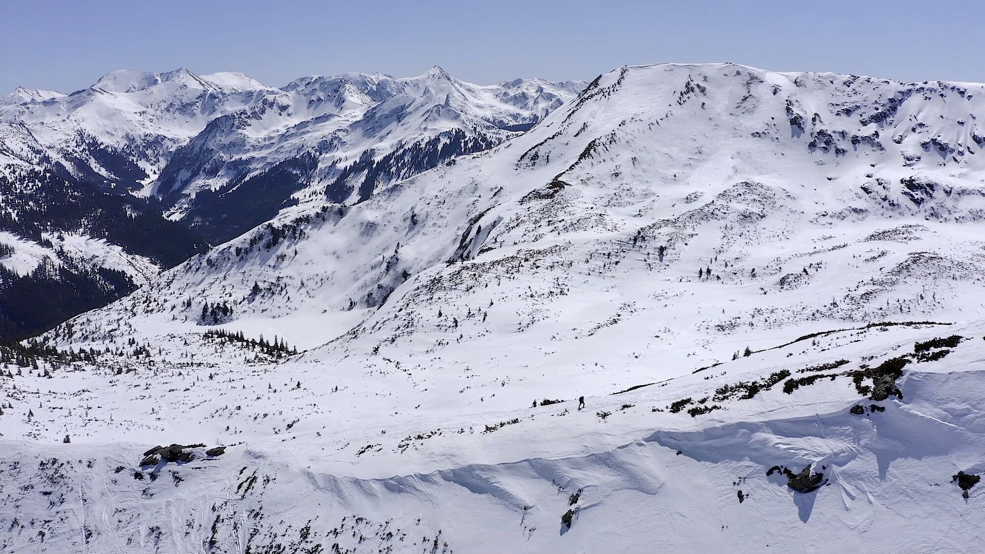
Die Karlspitze und der Schreinl sind beliebte Ausflugsziele für Skitourengeher und Schneeschuhwanderer. Die Tour auf die Karlspitze und dem Schreinl (auch Genusstour in der Region genannt) führt in die Wölzer bzw- Rottenmanner Tauern. Eine mittlere, schöne, aussichtsreiche und manchmal nebelige Tour erwartet euch. Ich fand die Tour grandios. Chapeau!
- Difficoltà
-
intermedio
- Valutazione
-
- Percorso
-
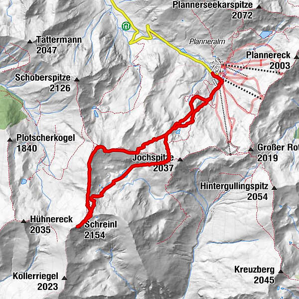
Karlspitze (2.097 m)3,3 kmSchreinl (2.154 m)4,9 kmGoldbachscharte (1.960 m)7,4 km
- La stagione migliore
-
agosetottnovdicgenfebmaraprmaggiulug
- Punto più alto
- 2.141 m
- Videos
-
 04:51
04:51

- Fonte
- Christian Sommer
GPS Downloads


Altri tour nelle regioni