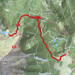
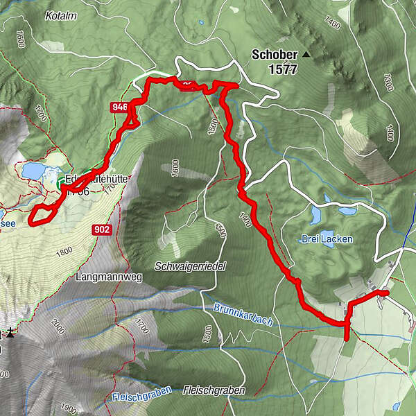
Dati percorsi
9,91km
1.231
- 1.738m
508hm
506hm
03:09h
- Descrizione rapida
-
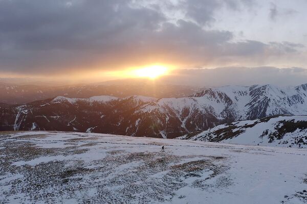
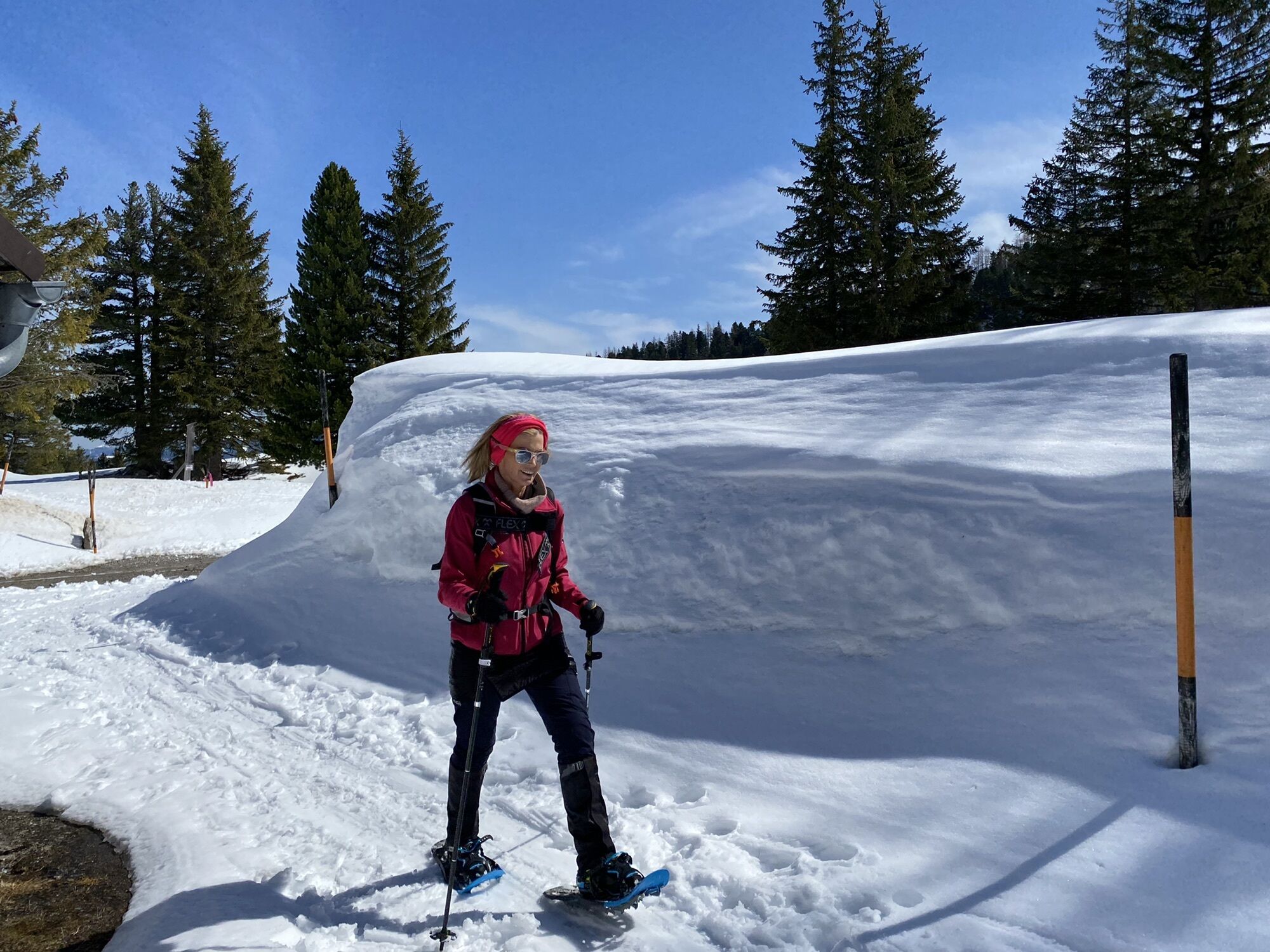
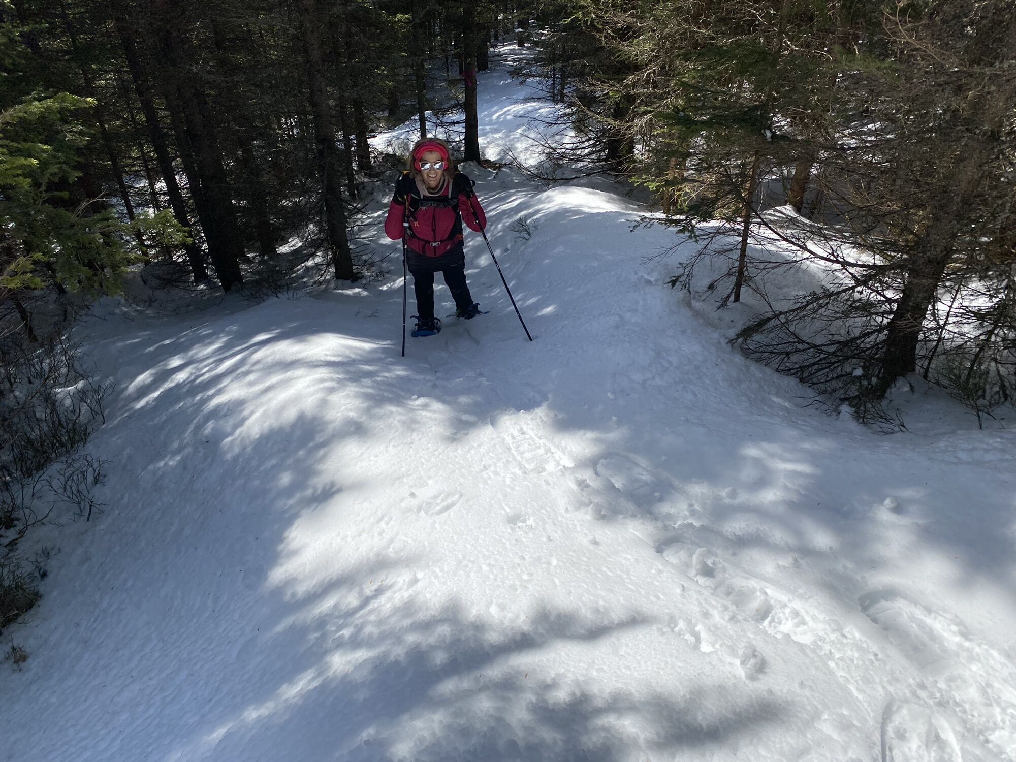
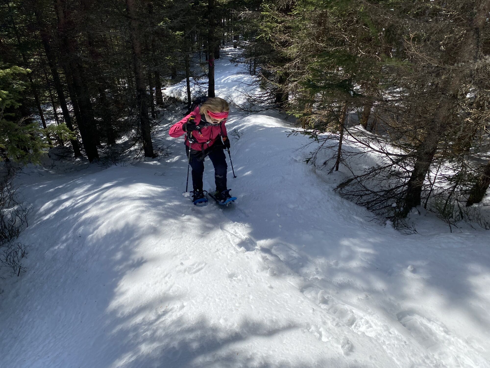
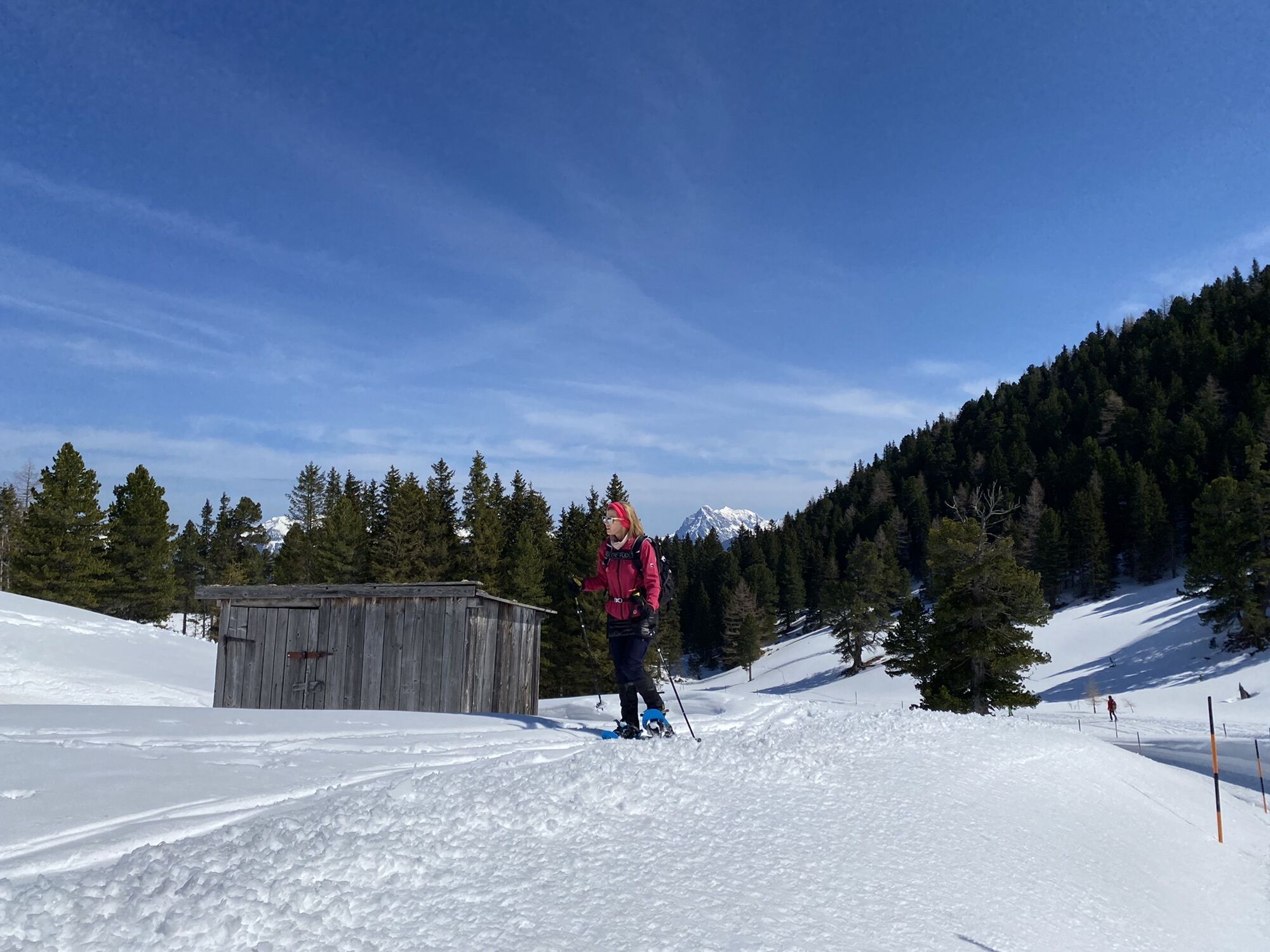
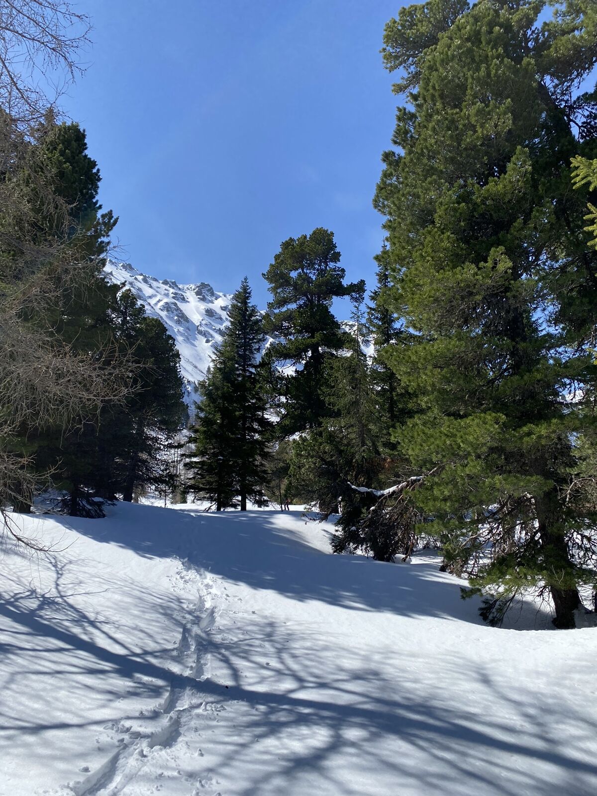
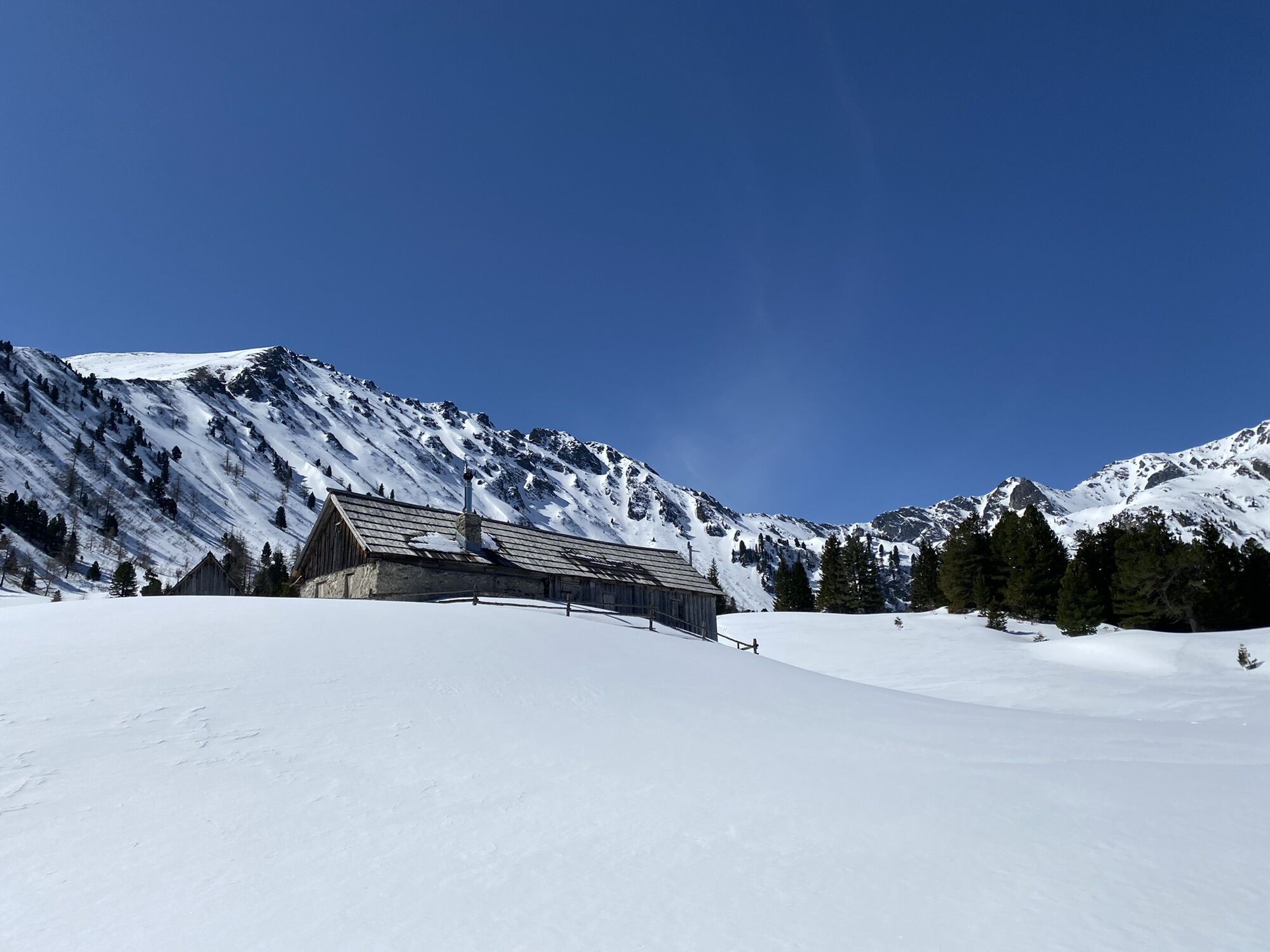
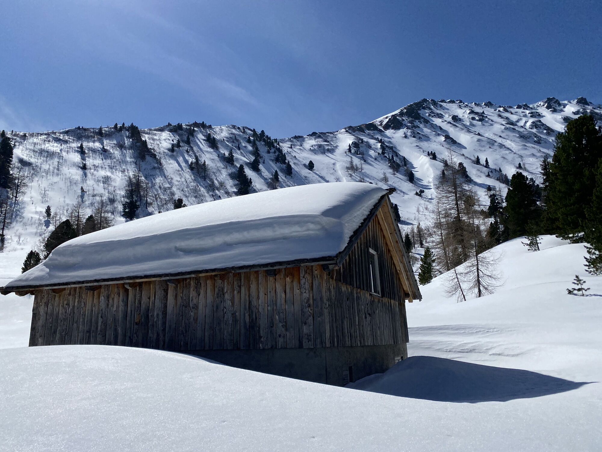
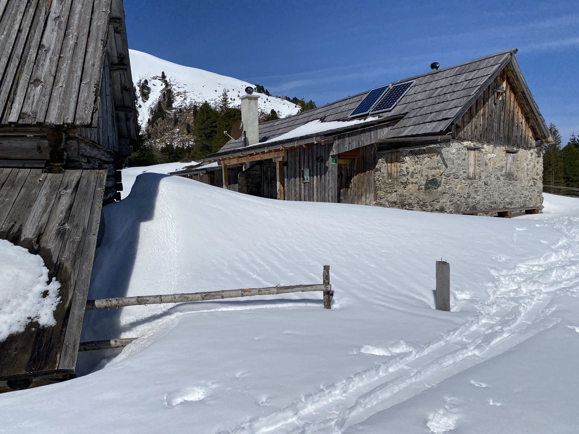
Schneeschuhwanderung in idyllischer Landschaft
- Difficoltà
-
intermedio
- Valutazione
-
- Percorso
-
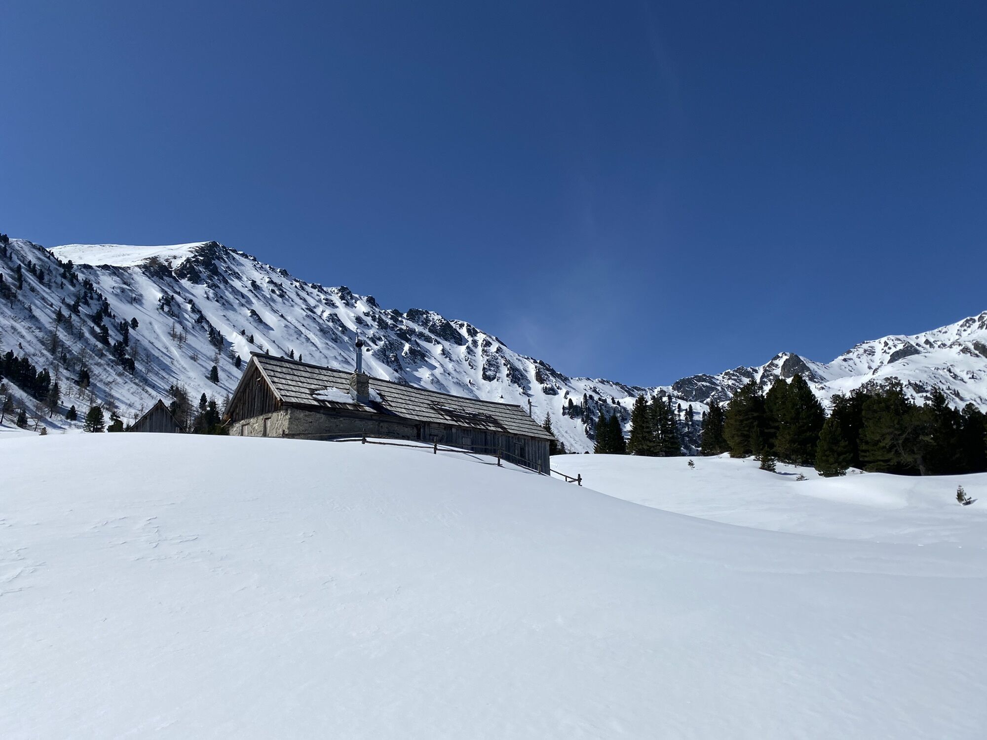
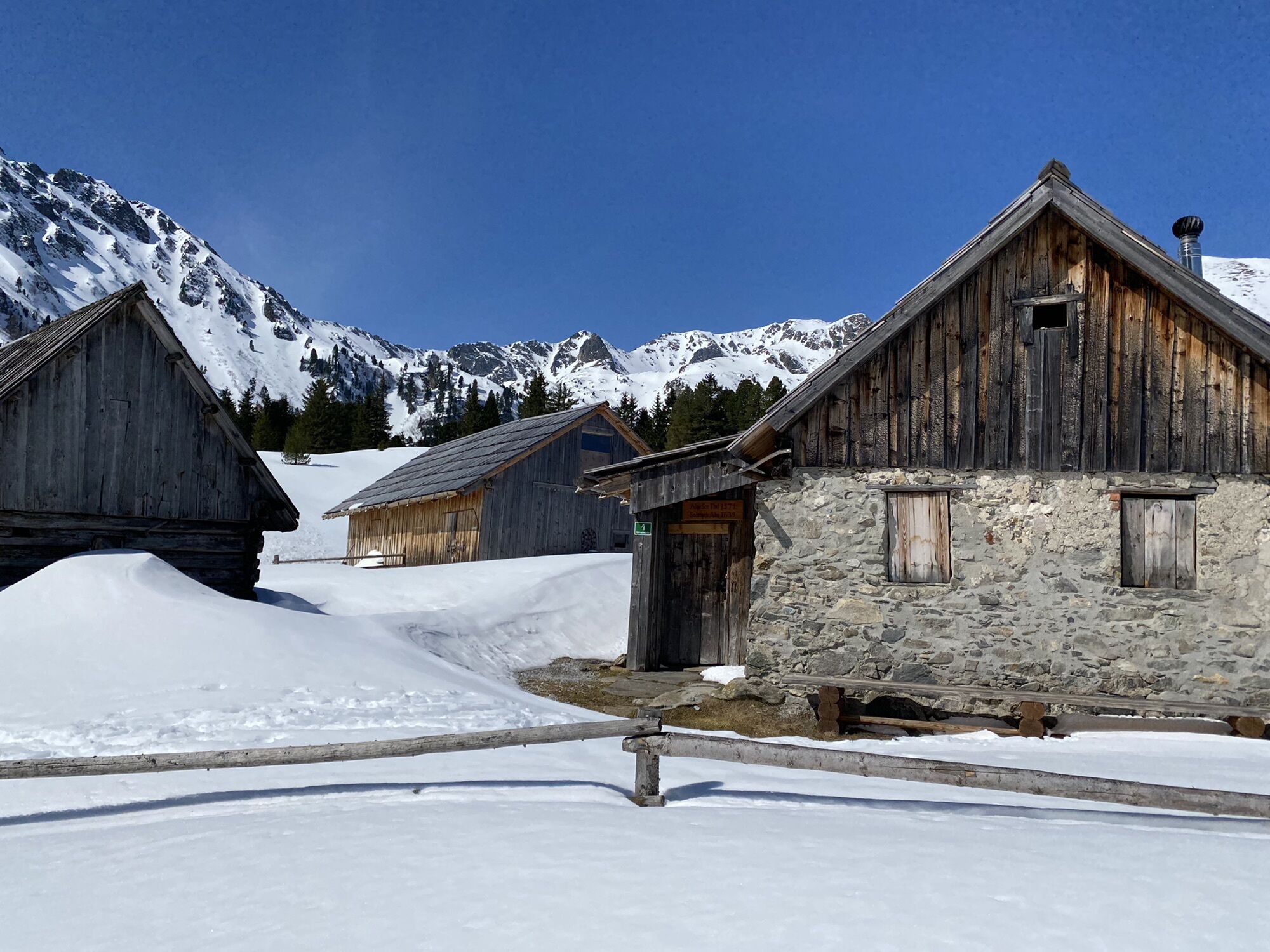
Scheibelalm4,7 kmEdelrautehütte (1.725 m)5,7 km
- La stagione migliore
-
agosetottnovdicgenfebmaraprmaggiulug
- Punto più alto
- 1.738 m
GPS Downloads


Altri tour nelle regioni
-
Gesäuse
72
-
Grimming - Donnersbachtal
32
-
Hohentauern
12