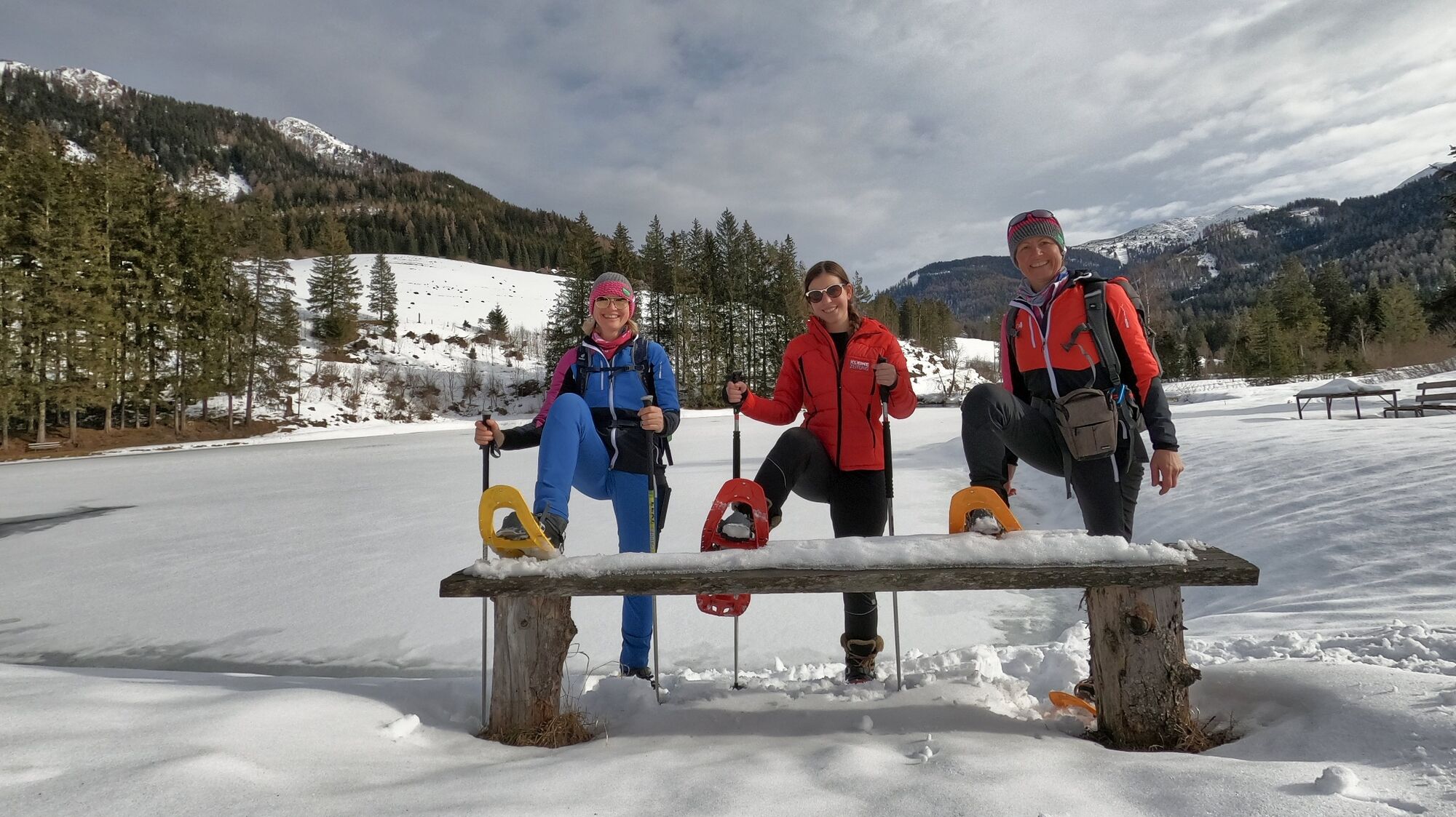
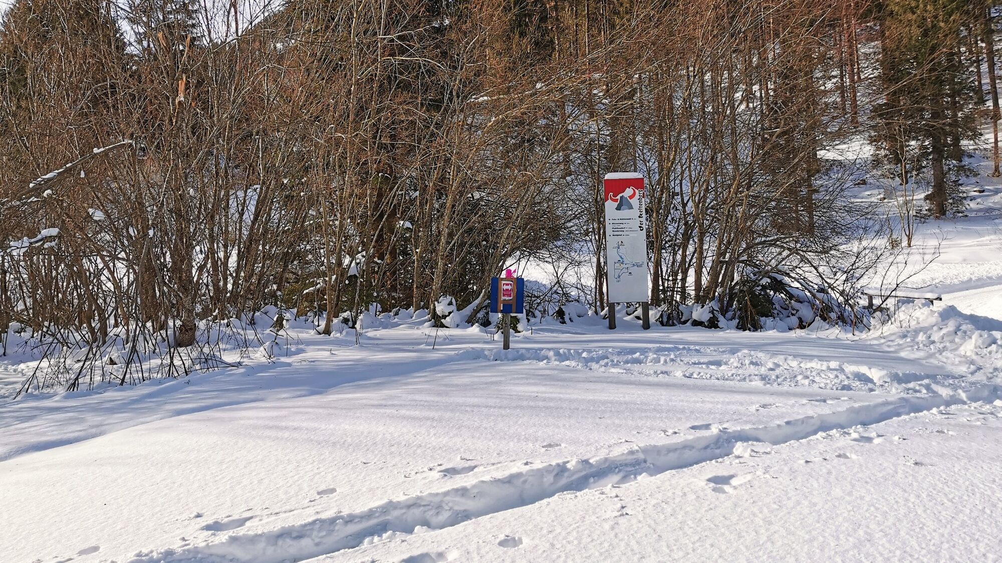
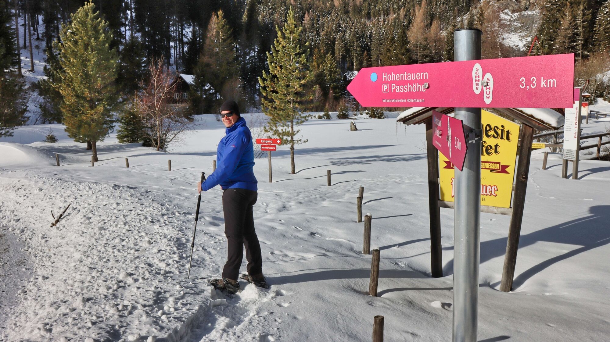
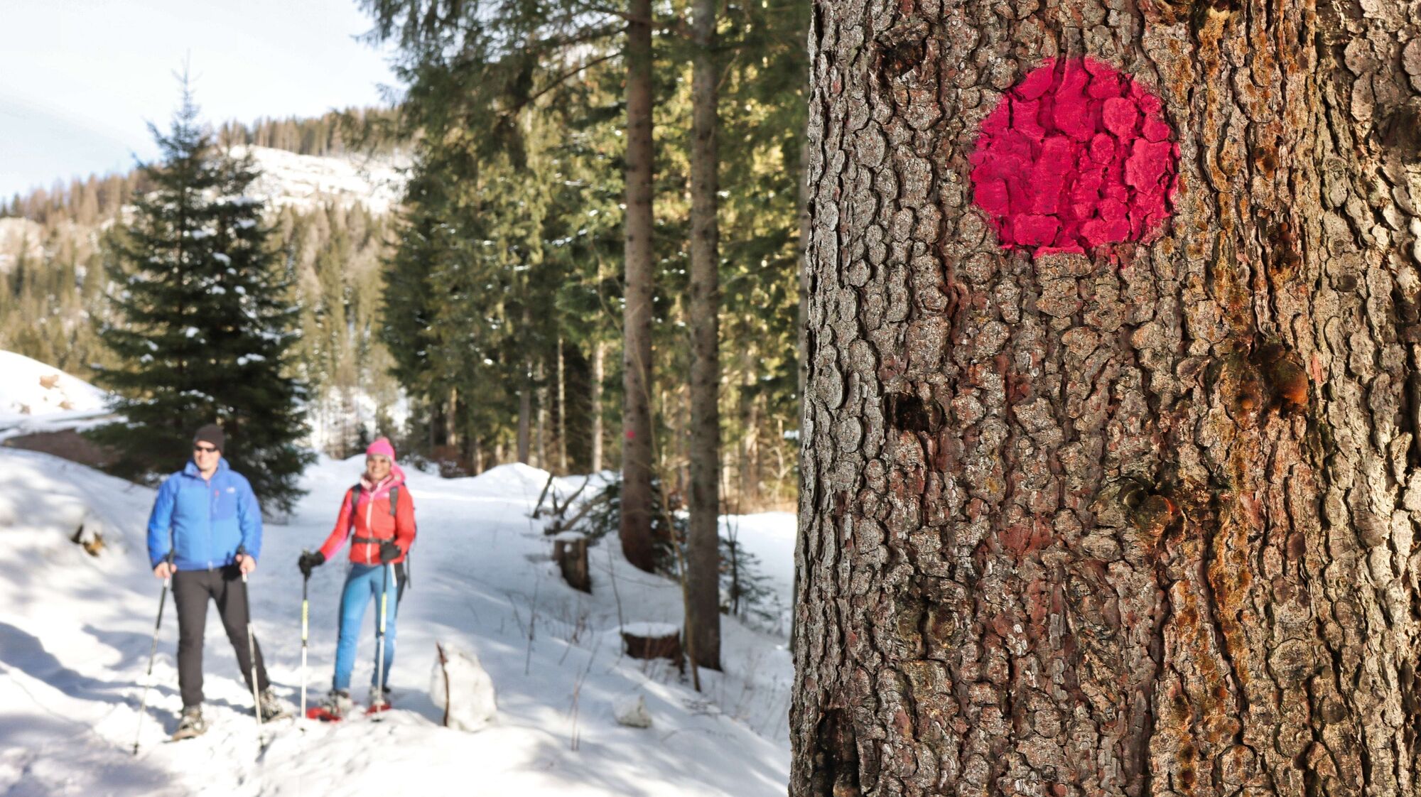
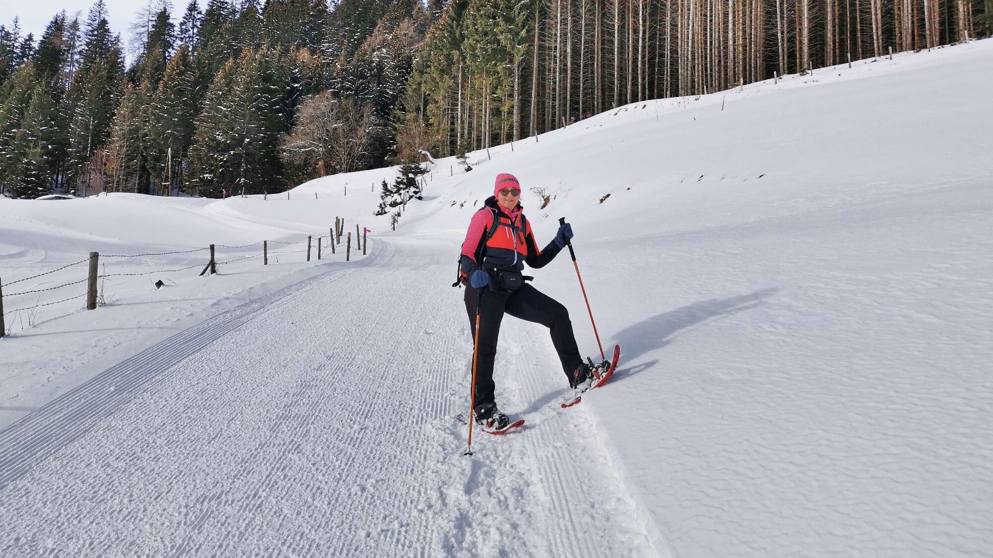
Hohentauern circular hike - marked snowshoe trail

Ciaspole

© Weges OG

© Weges OG

© Weges OG

© Weges OG

© Weges OG

© Weges OG

© Erlebnisregion Murtal - Tourismusverband Murtal Standort Hohentauern

© Weges OG

© Weges OG

© Weges OG

- Descrizione rapida
- Difficoltà
-
facile
- Valutazione
-
- Percorso
-
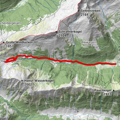
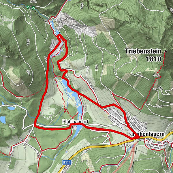
Hohentauern0,0 kmPfahlbaudorf4,6 kmKeltenstube4,6 kmHohentauern5,4 kmTriebener Tauern (1.274 m)5,4 km
- La stagione migliore
-
agosetottnovdicgenfebmaraprmaggiulug
- Punto più alto
- 1.283 m
- Destinazione
-
Parking on the pass Hohentauern (in the center of the village)
- Profilo altimetrico
-


- Autore
-
Il tour Hohentauern circular hike - marked snowshoe trail è utilizzato da outdooractive.com fornito.
GPS Downloads


Info generali
Punto di ristoro
Promettente
Altri tour nelle regioni
-
Gesäuse
72
-
Grimming - Donnersbachtal
32
-
Hohentauern
12