

© ROSE Bikes - Schladming Dachstein

© ROSE Bikes - Schladming Dachstein

© ROSE Bikes - Schladming Dachstein

© ROSE Bikes - Schladming Dachstein

© ROSE Bikes - Schladming Dachstein
- Descrizione rapida
-
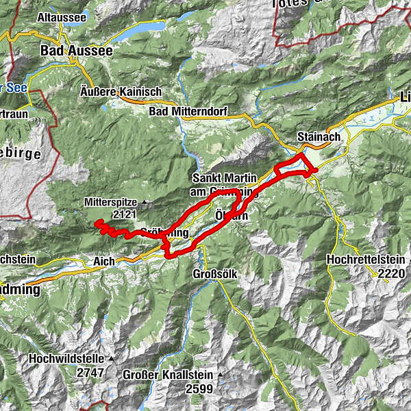
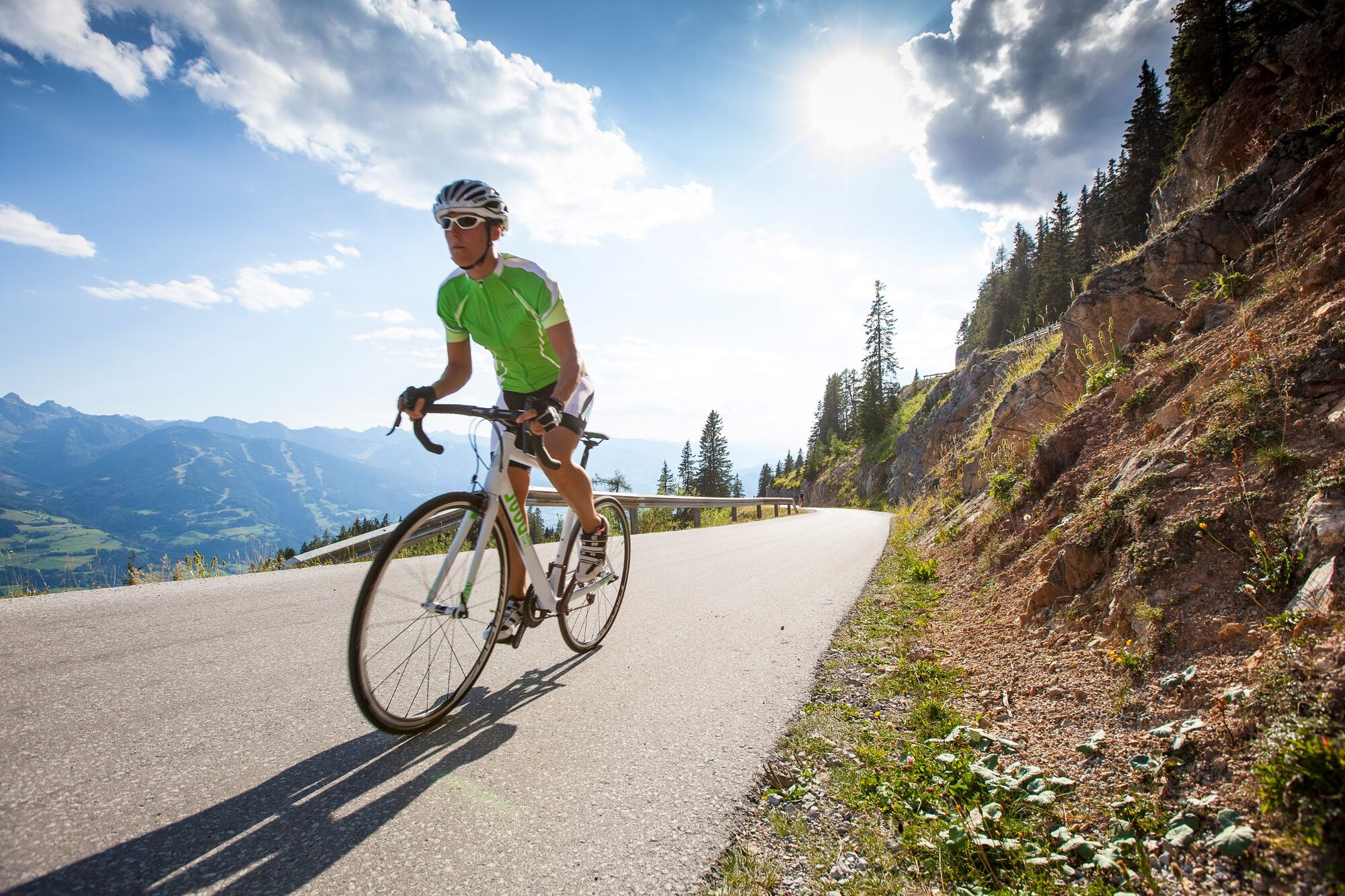
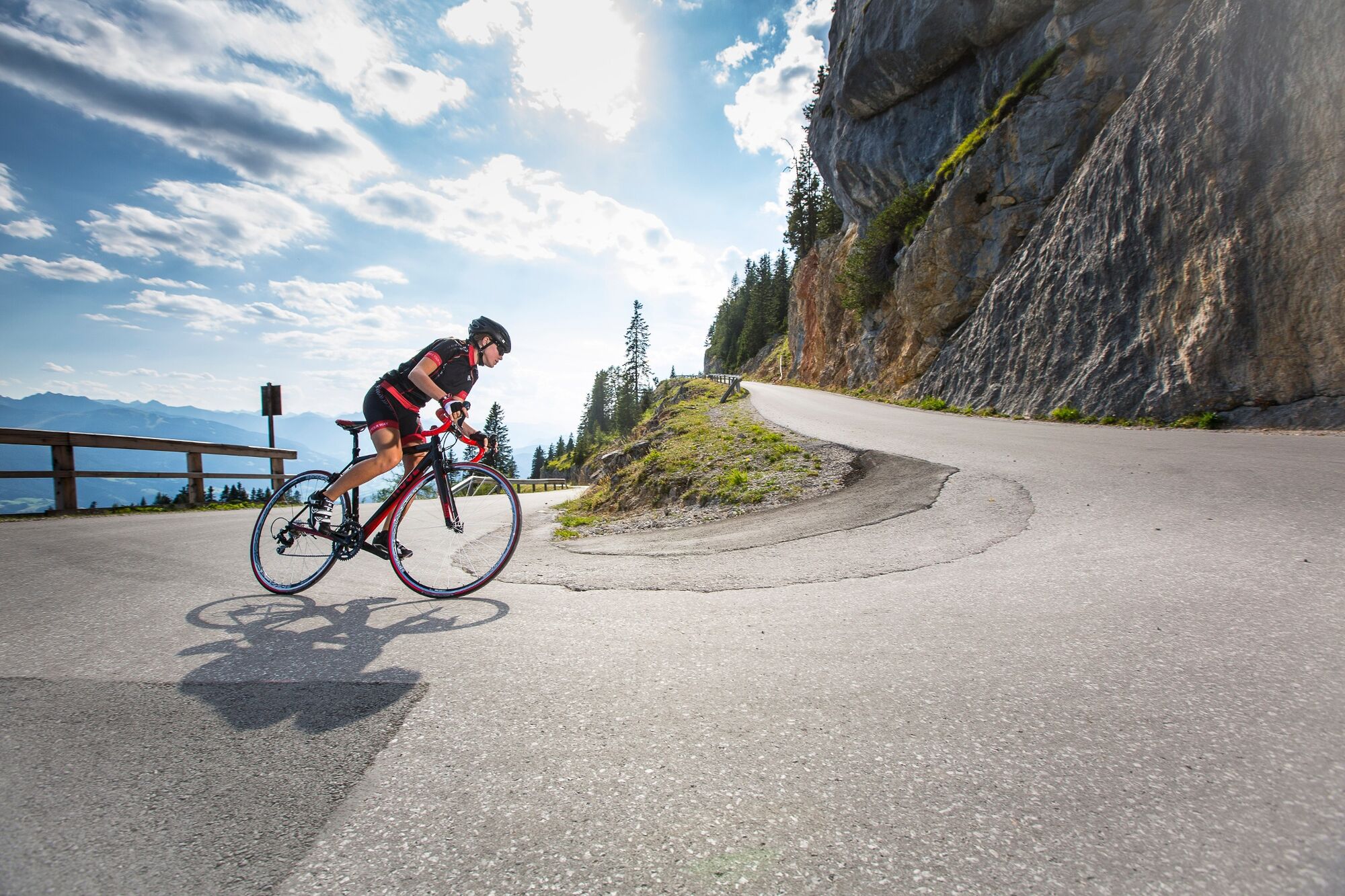
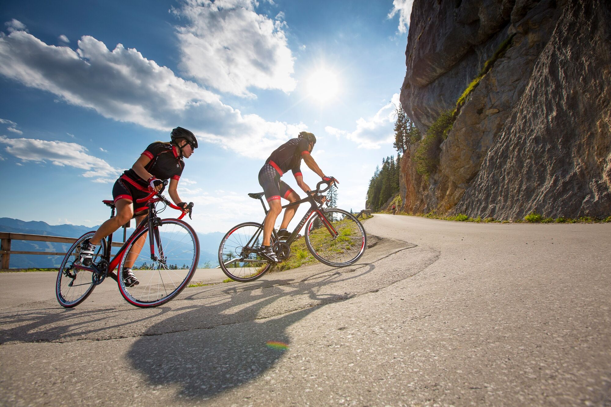
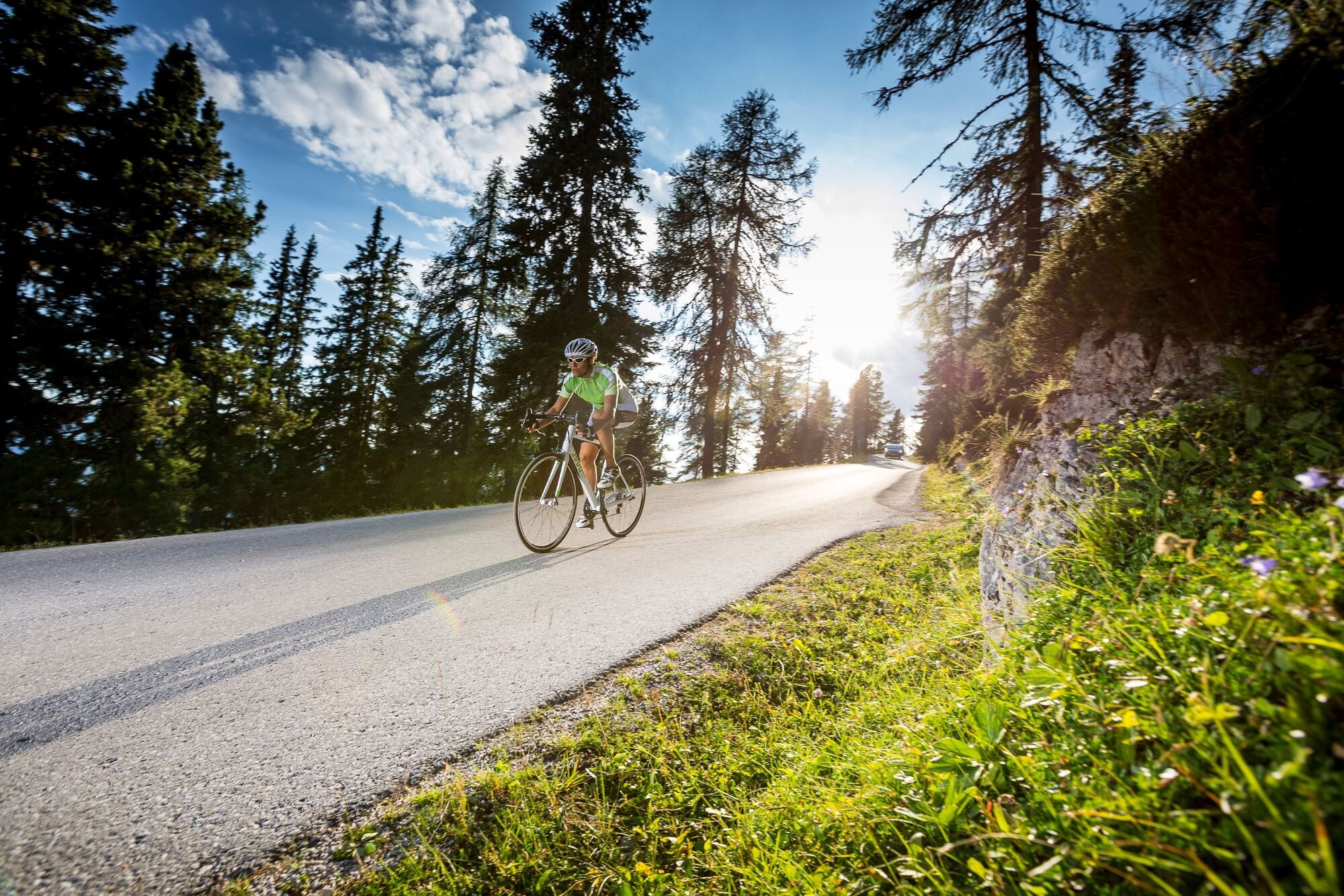
Scenic road bike tour from Irdning to Gröbming and further over the panoramic road to the Stoderzinken.
- Difficoltà
-
intermedio
- Valutazione
-
- Percorso
-
IrdningFalkenburg0,4 kmSchlosstaverne2,1 kmTrautenfels2,1 kmÖblarn12,8 kmStrimitzen14,6 kmSankt Martin am Grimming17,6 kmTipschern19,9 kmUnterlengdorf21,3 kmKrahbergsiedlung24,4 kmFriedfofskapelle25,5 kmGröbming25,6 kmWinkl27,8 kmJausenstation Stodermaut28,8 kmGröbmingeralm29,1 kmStöderl34,9 kmDürrenbachquelle35,6 kmStoder38,5 kmBerggasthof Steinerhaus38,7 kmStöderl42,9 kmGröbmingeralm48,6 kmJausenstation Stodermaut49,0 kmWinkl49,9 kmGröbming52,0 kmThalhamm54,3 kmMoosheim55,6 kmSt. Michael55,7 kmImbiss Zum Krotzstoa57,7 kmStein an der Enns58,6 kmBach60,7 kmEdling61,5 kmÖblarn62,6 kmAltirdning73,1 kmFalkenburg74,1 kmIrdning74,5 km
- La stagione migliore
-
genfebmaraprmaggiulugagosetottnovdic
- Punto più alto
- 1.830 m
- Destinazione
-
Main square Irdning
- Profilo altimetrico
-

-

-
AutoreIl tour Stoderzinken tour è utilizzato da outdooractive.com fornito.
GPS Downloads


Info generali
Punto di ristoro
Promettente
Altri tour nelle regioni