Fürstenfeld Lafnitz Valley Tour (Fürstenfelder Lafnitztaltour)

Bicicletta

© Erlebnisregion Thermen- & Vulkanland - Barbara Wagner

© Outdooractive – 3D Videos

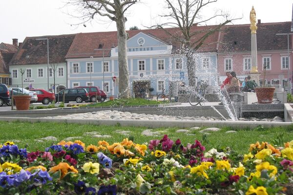
© Erlebnisregion Thermen- & Vulkanland - Barbara Wagner

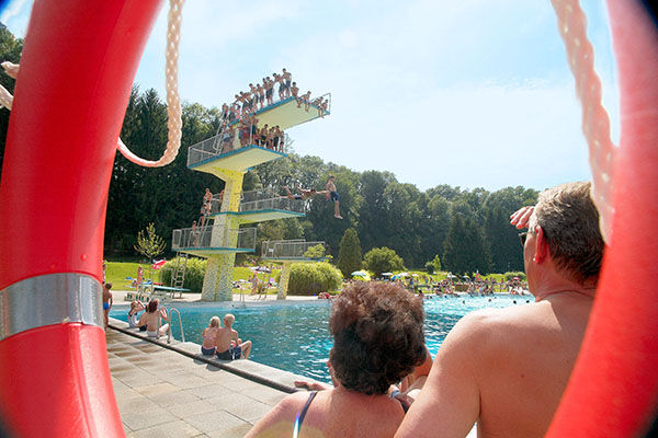
© Erlebnisregion Thermen- & Vulkanland - Johann Gollowitsch

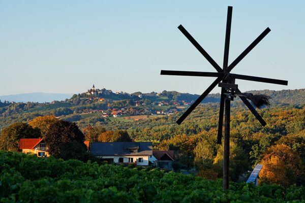
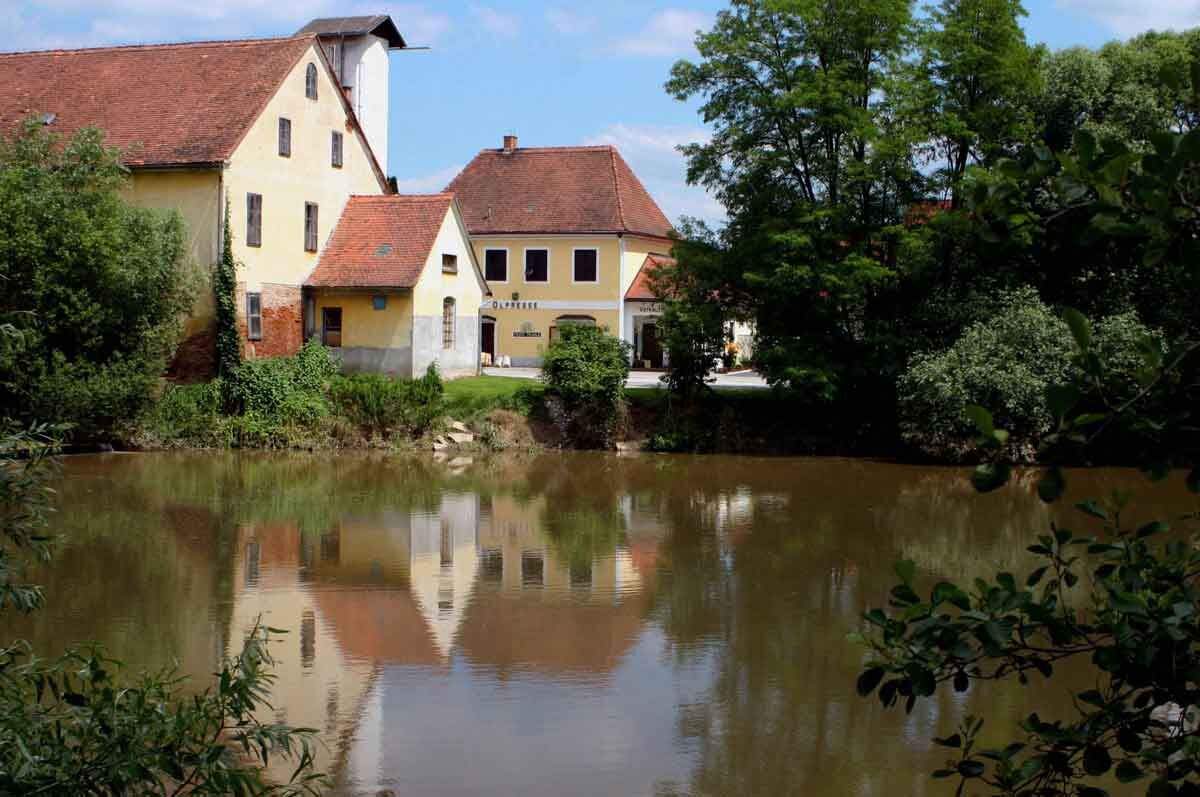
© Erlebnisregion Thermen- & Vulkanland - Harald Eisenberger
- Descrizione rapida
-
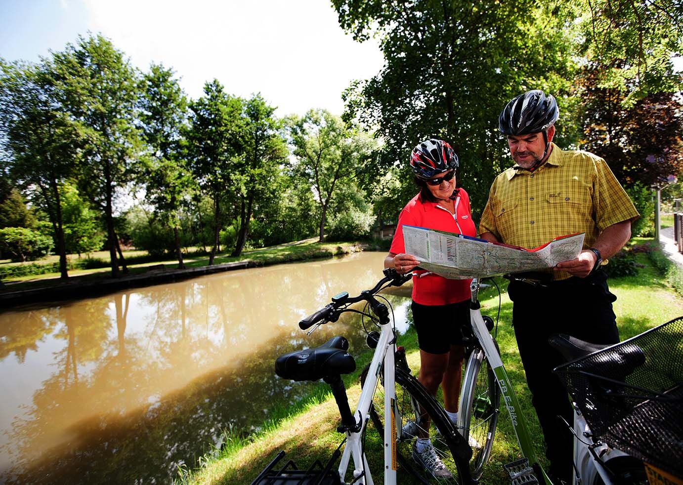
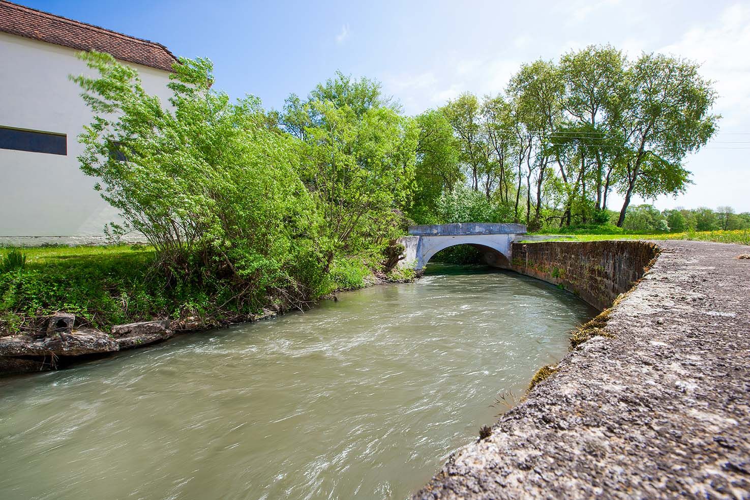
Boundless cycling along the trails of the Lafnitz River all the way to the Hungarian border or even take a detour to nearby St. Gotthard in Hungary.
- Difficoltà
-
facile
- Valutazione
-
- Percorso
-
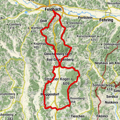
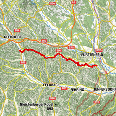
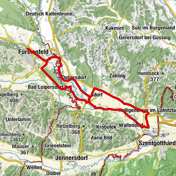
Innere Stadt0,5 kmFürstenfeld1,0 kmRudersdorf4,6 kmDobersdorf9,1 kmKönigsdorf12,0 kmGasthof Gerd Pummer22,5 kmHeiligenkreuz im Lafnitztal23,2 kmGasthof Rudolf Pummer23,5 kmGasthof Gerlinde Gibiser23,5 kmPoppendorf im Burgenland25,6 kmGasthaus Gibiser25,8 kmEltendorf28,5 kmOrtskapelle30,2 kmPfarrkirche Heiliger Stefan31,4 kmKönigsdorf31,5 km
- La stagione migliore
-
genfebmaraprmaggiulugagosetottnovdic
- Punto più alto
- 268 m
- Destinazione
-
8280, Fürstenfeld
- Profilo altimetrico
-


- Autore
-
Il tour Fürstenfeld Lafnitz Valley Tour (Fürstenfelder Lafnitztaltour) è utilizzato da outdooractive.com fornito.
GPS Downloads


Info generali
Punto di ristoro
Flora
Altri tour nelle regioni
-
Thermen- & Vulkanland
344
-
Südburgenland
127
-
Königsdorf
35