© Salzkammergut - Katrin Kerschbaumer

© Salzkammergut - Katrin Kerschbaumer

© Ausseerland - Theresa Schwaiger

© Seehotel Grundlsee

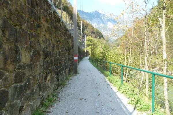
© Velontour - Heiko Mandl

© Velontour - Heiko Mandl

- Descrizione rapida
-
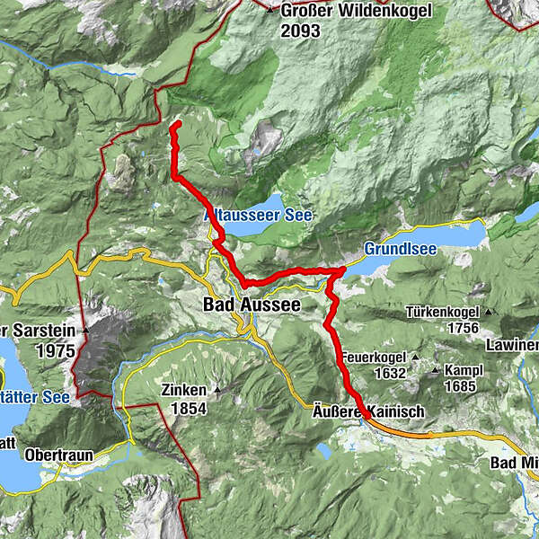
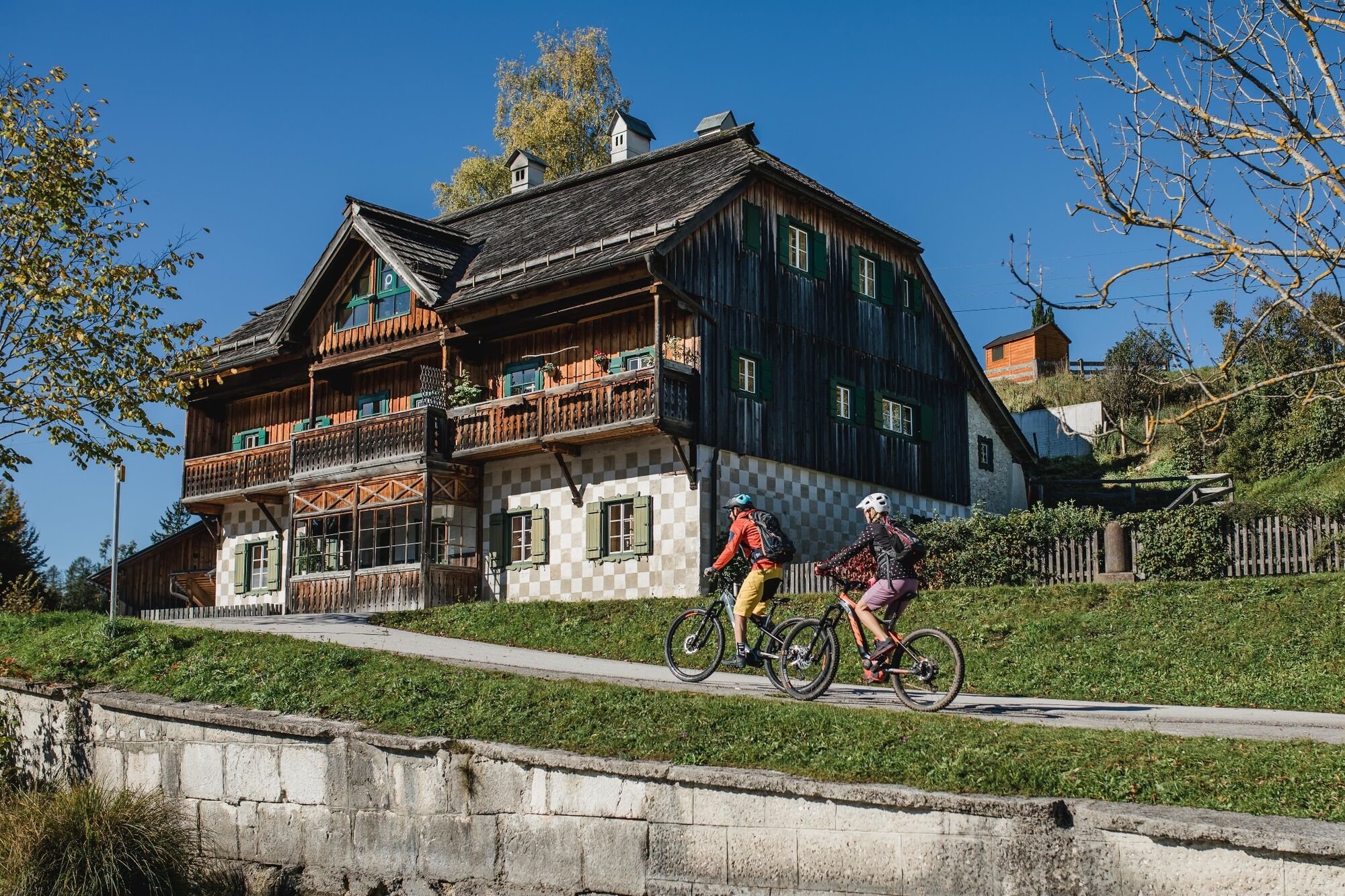
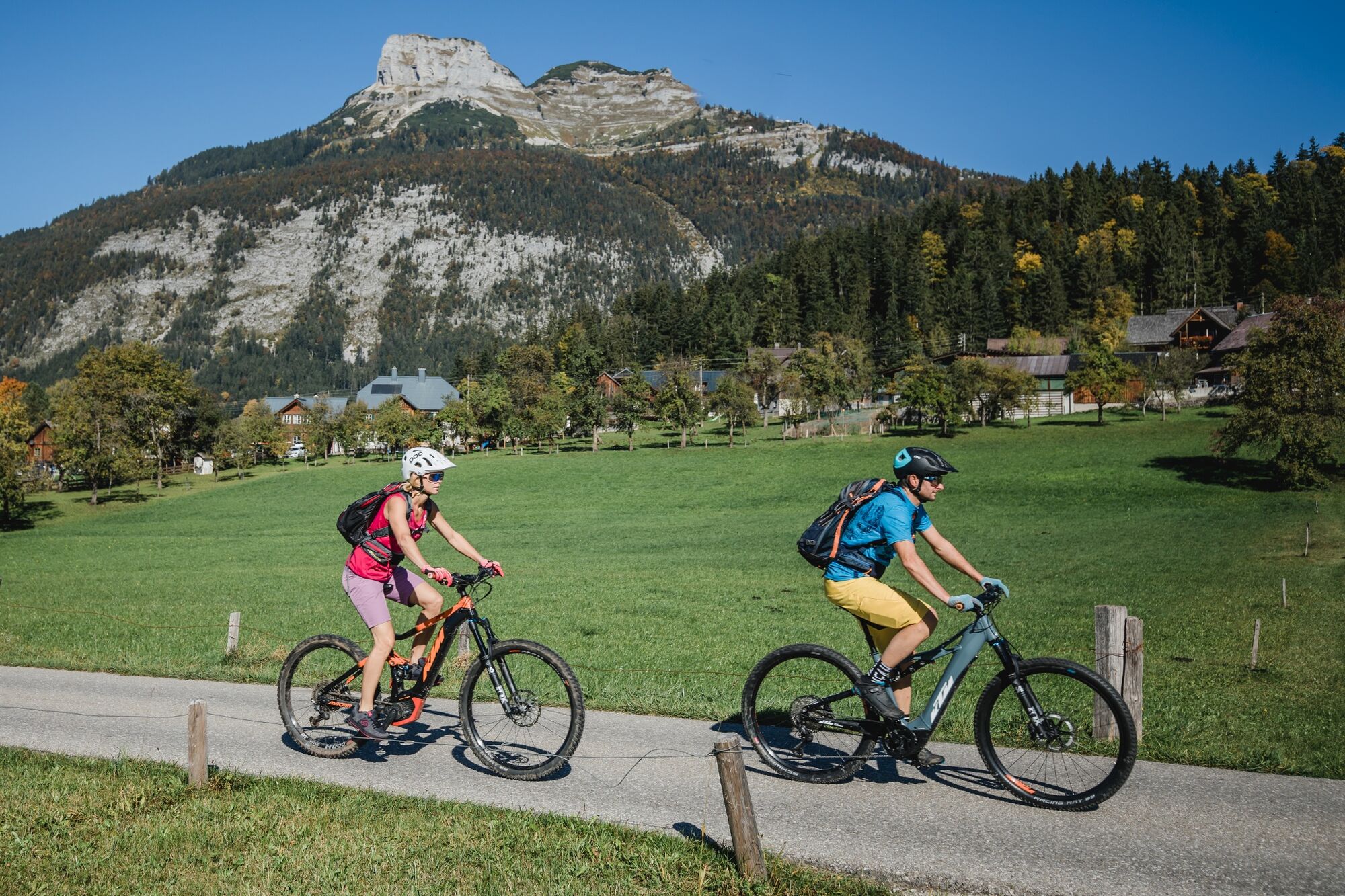
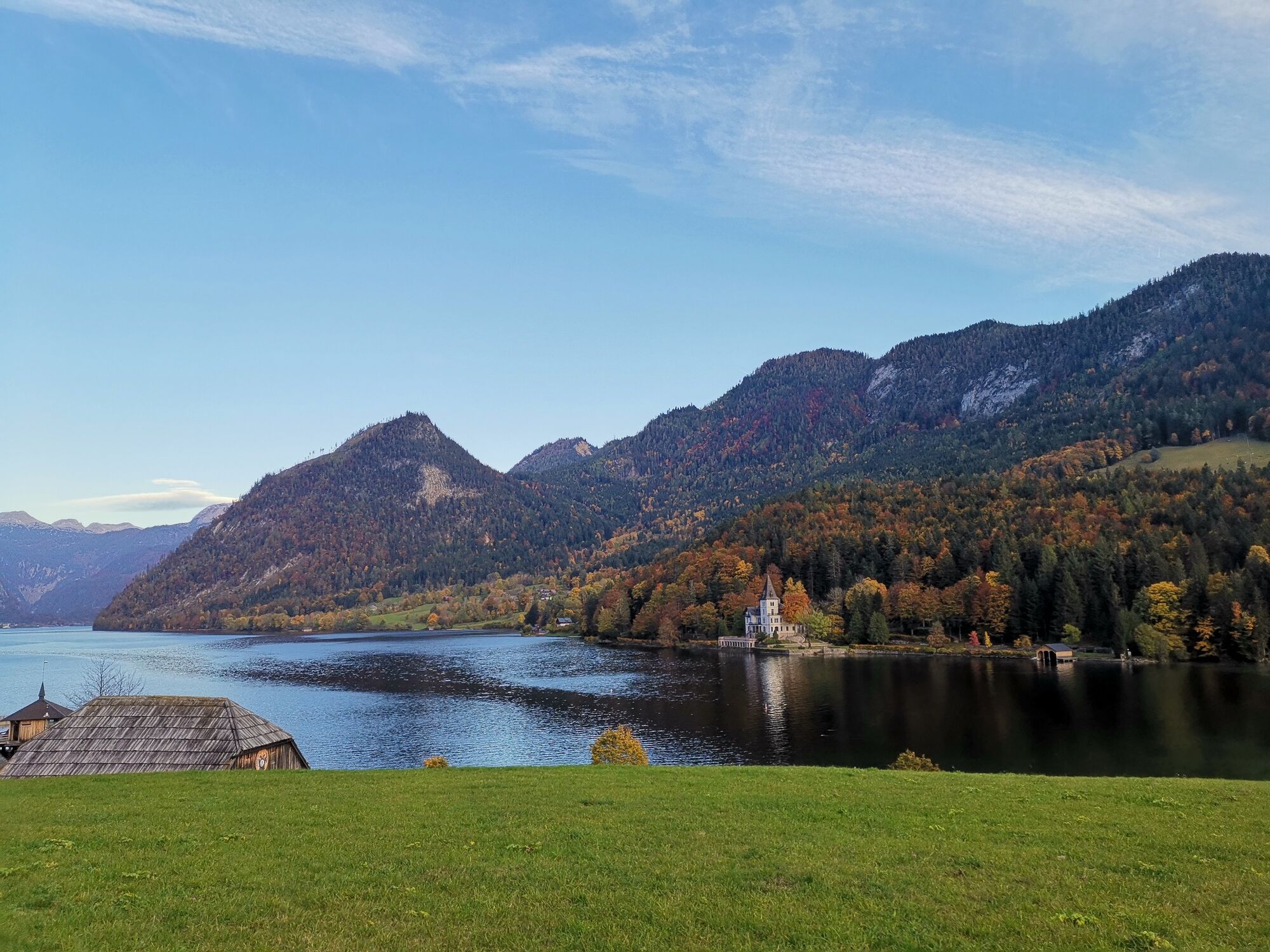
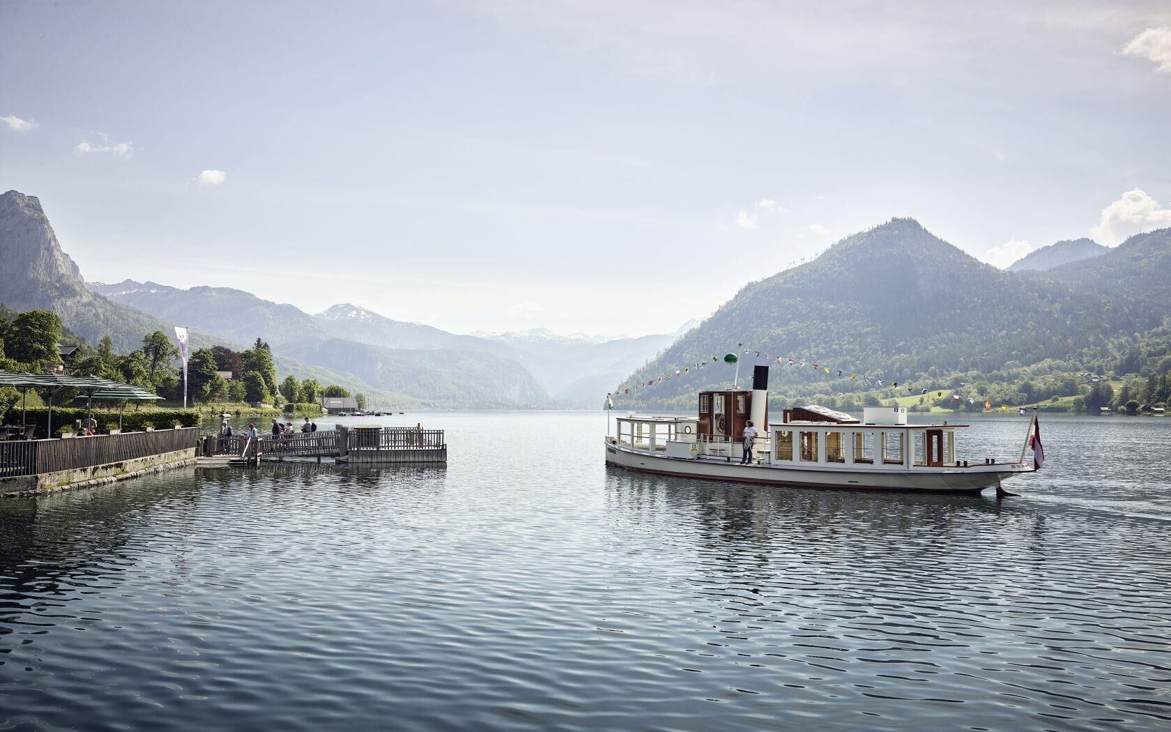
A bike tour through one of the most beautiful regions in the Alps, the Ausseerland. Past Grundlsee and Altausseer See, this sporty bike path leaves nothing to be desired.
- Difficoltà
-
intermedio
- Valutazione
-
- Percorso
-
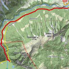
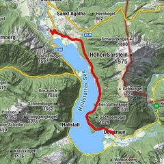
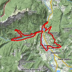
Äußere Kainisch0,0 kmPrietal0,7 kmRadling1,8 kmGschlößl2,7 kmGruben4,4 kmFischkalter6,4 kmBräuhof6,6 kmGut7,7 kmUntertressen8,7 kmHanischbühel9,9 kmObertressen10,4 kmBad Aussee (659 m)10,8 kmIm Nöckl12,1 kmKendl12,9 kmTrauninsel13,3 kmAltaussee14,1 kmHinter-Posern14,9 kmSagbühel16,5 kmKaltwasser16,9 kmJagdhof17,1 kmBlaa Alm18,9 km
- La stagione migliore
-
genfebmaraprmaggiulugagosetottnovdic
- Punto più alto
- 897 m
- Destinazione
-
Blaa Alm
- Profilo altimetrico
-

- Autore
-
Il tour R61 "Ausseer cycle path è utilizzato da outdooractive.com fornito.
GPS Downloads


Info generali
Punto di ristoro
Culturale/Storico
Promettente
Altri tour nelle regioni