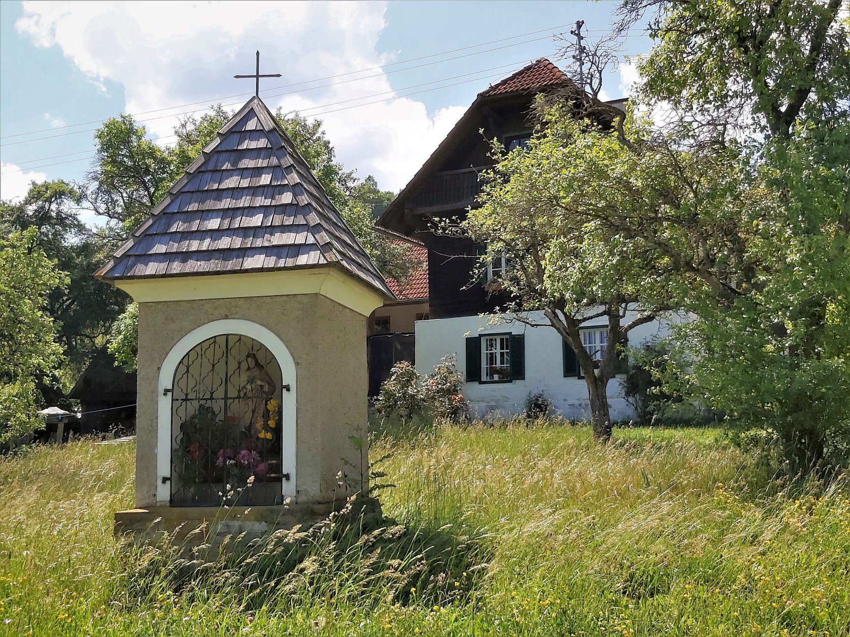
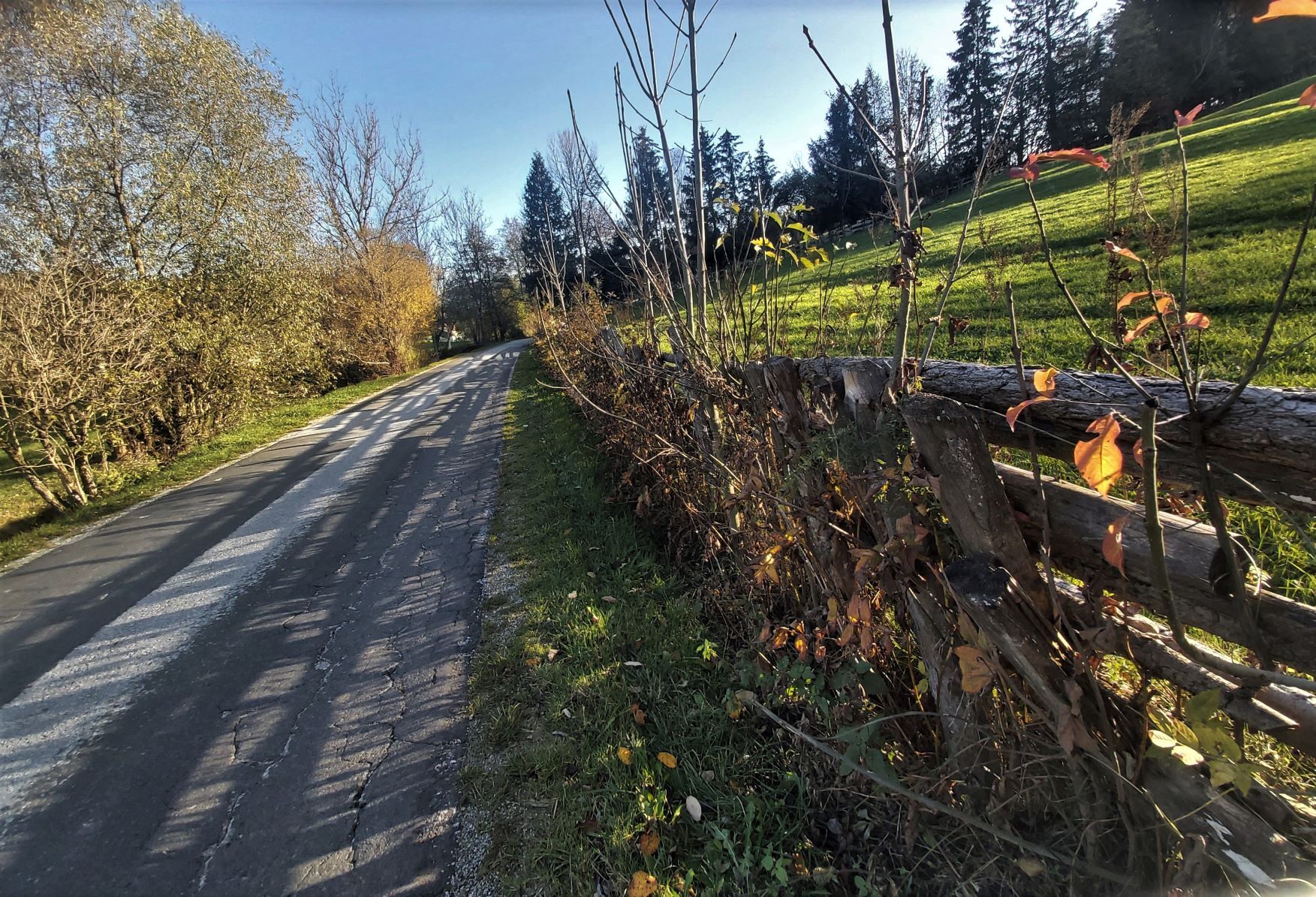
© TVB Oststeiermark - Christine Pollhammer

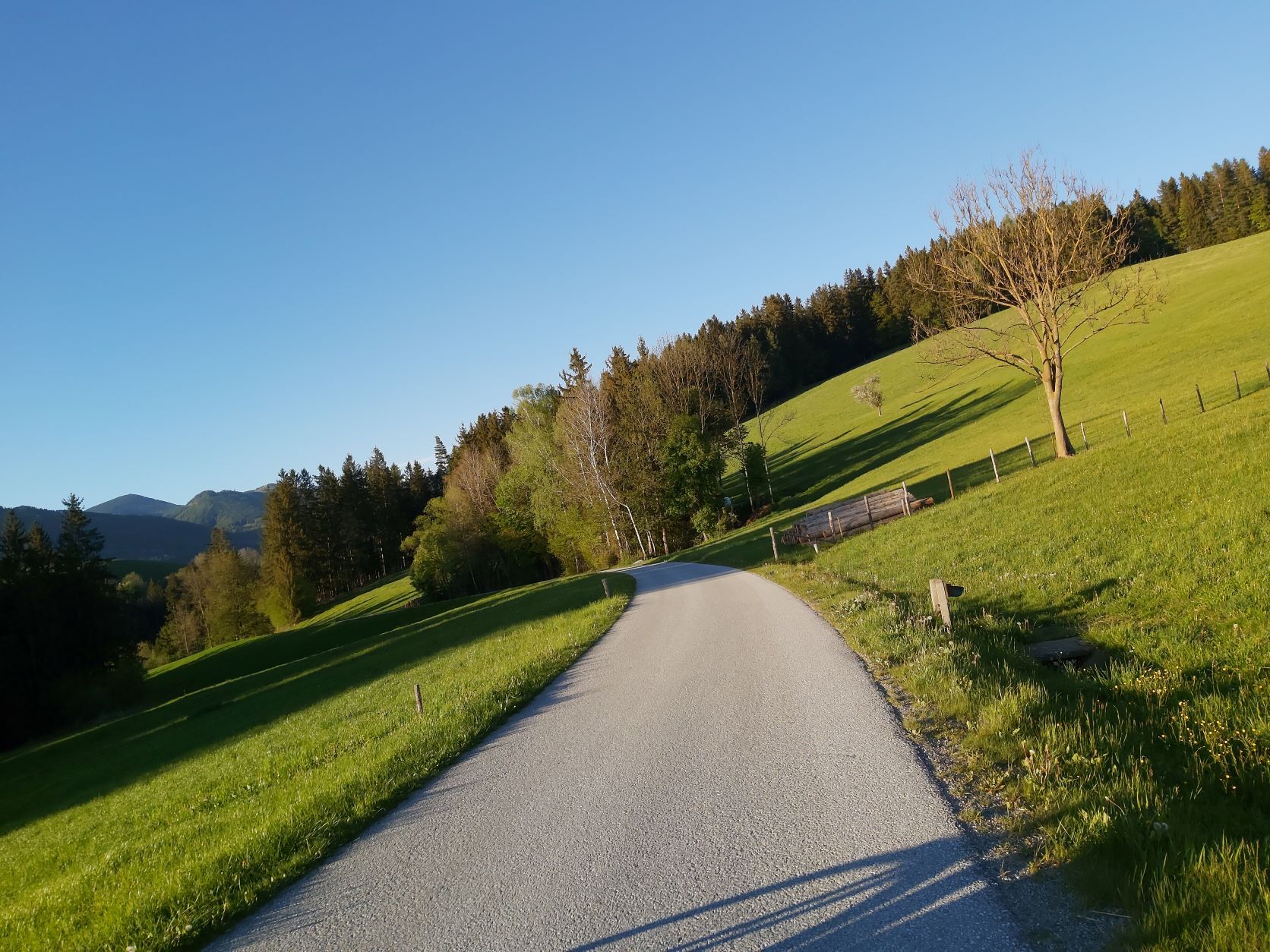
© Gemeinde Fladnitz an der Teichalm - Steirer Guide

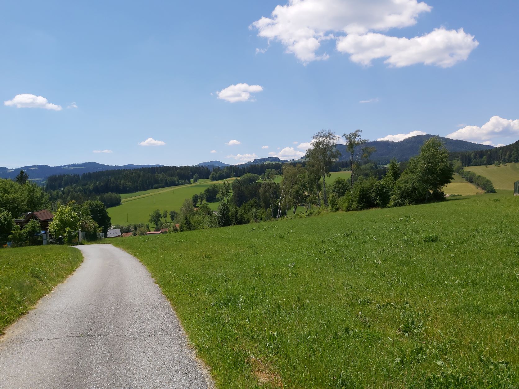
© TVB Oststeiermark - Christine Pollhammer

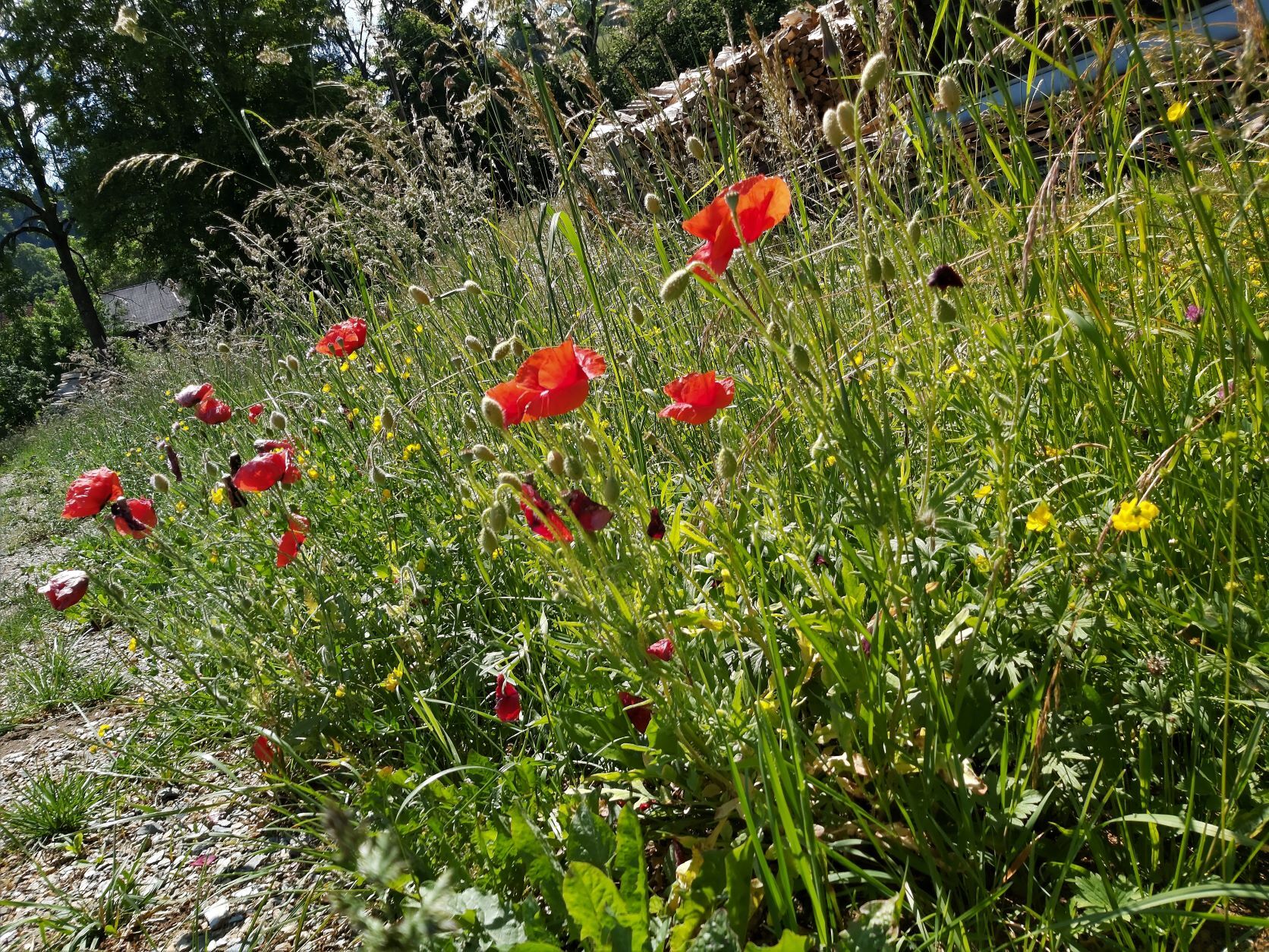
© TVB Oststeiermark - Christine Pollhammer

© TVB Oststeiermark - Christine Pollhammer

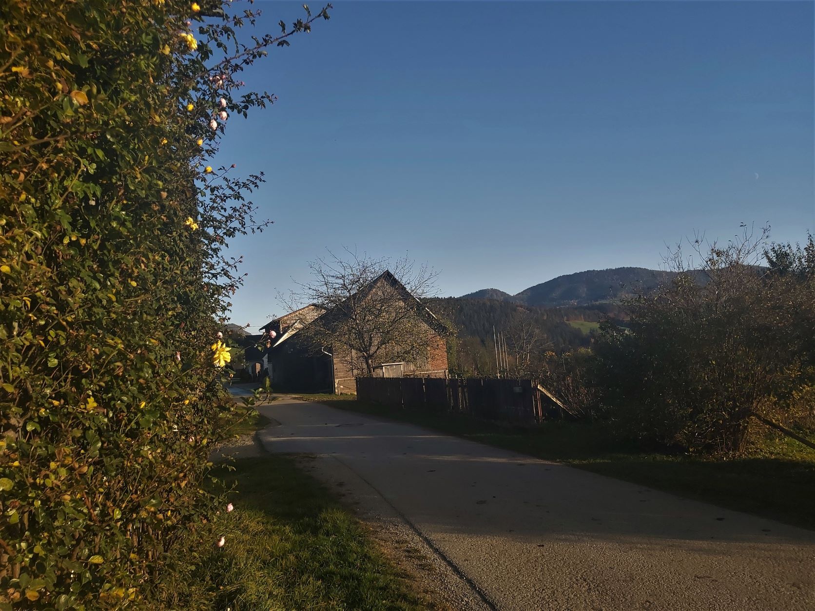
© TVB Oststeiermark - Christine Pollhammer

© TVB Oststeiermark - Christine Pollhammer

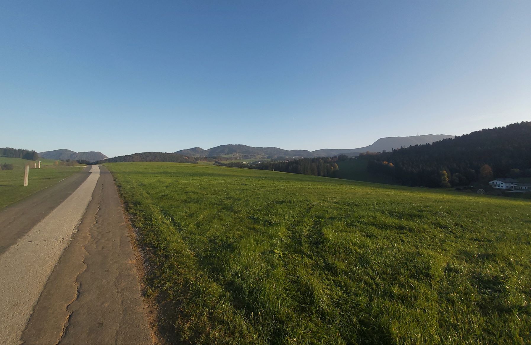
© TVB Oststeiermark - Christine Pollhammer

© TVB Oststeiermark - Christine Pollhammer

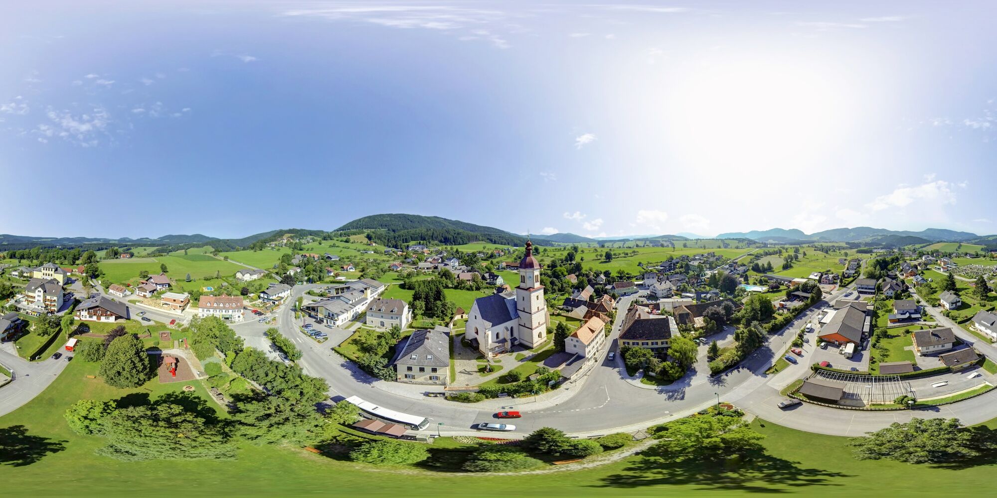
© Oststeiermark Tourismus - Christine Pollhammer
- Descrizione rapida
- Difficoltà
-
facile
- Valutazione
-
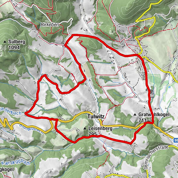
- Percorso
-
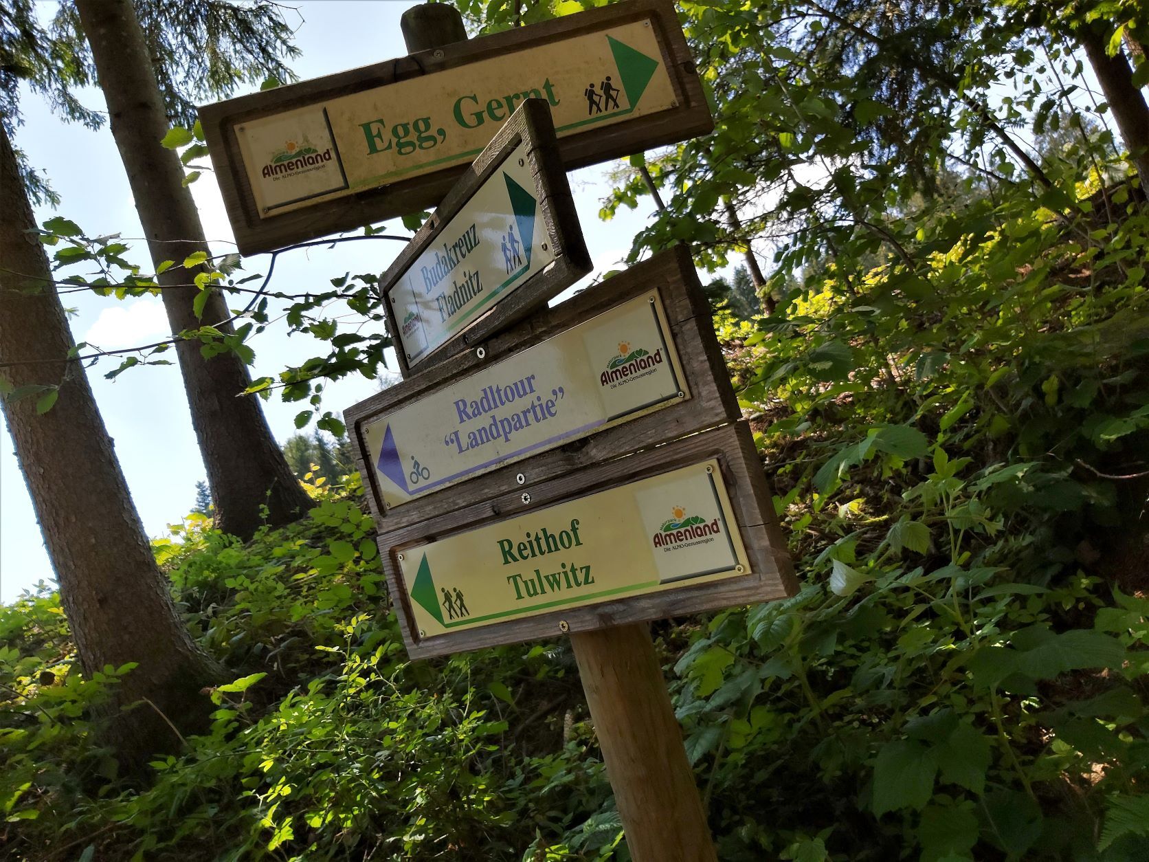
Fladnitz an der TeichalmReithof4,4 kmTulwitzviertl6,5 kmBlumau7,9 kmSchweinegg10,2 kmGasthof Höfler "Zur Kraltaverne"13,3 kmFladnitz an der Teichalm13,4 km
- La stagione migliore
-
genfebmaraprmaggiulugagosetottnovdic
- Punto più alto
- 761 m
- Destinazione
-
Dorfplatz/Almenlandbüro Fladnitz
- Profilo altimetrico
-

-

-
AutoreIl tour Landpartie-Radltour, Fladnitz an der Teichalm è utilizzato da outdooractive.com fornito.
GPS Downloads


Info generali
Punto di ristoro
Promettente
Altri tour nelle regioni