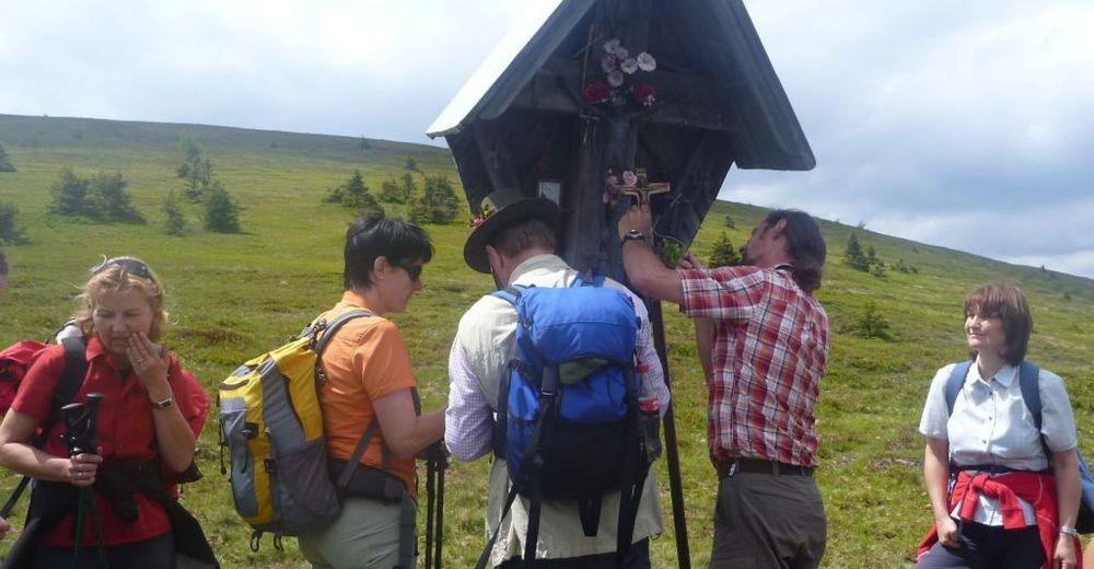
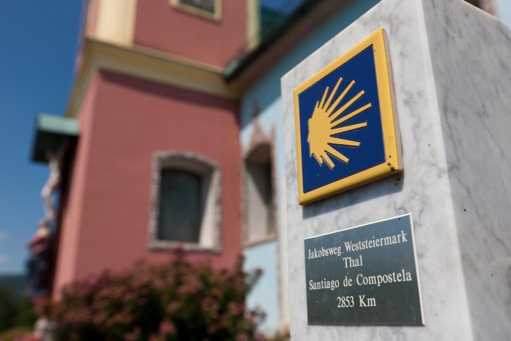
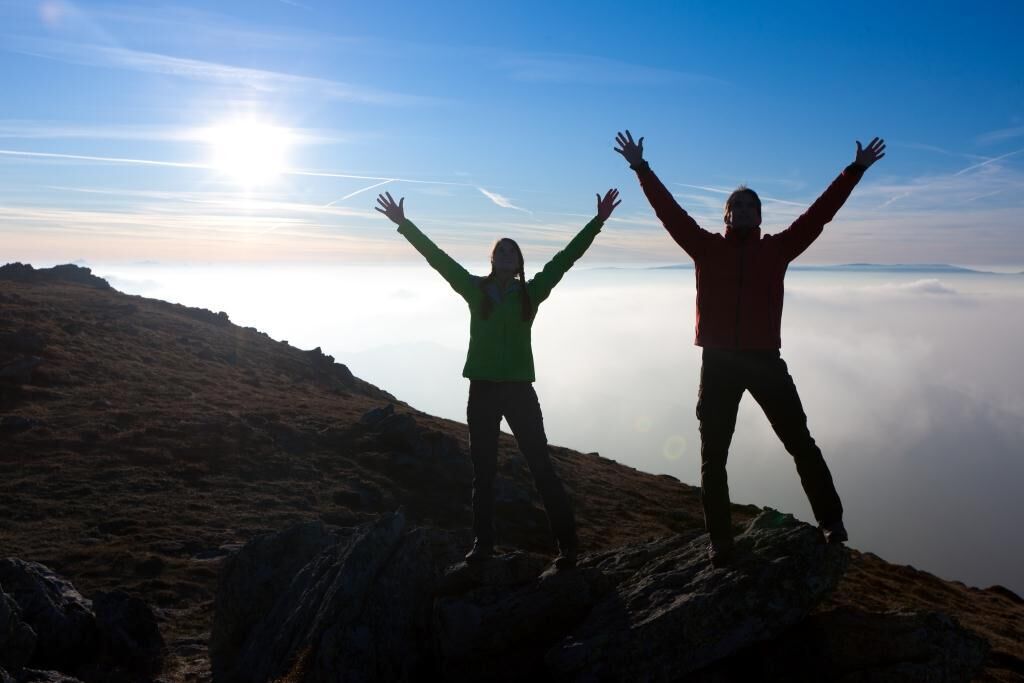
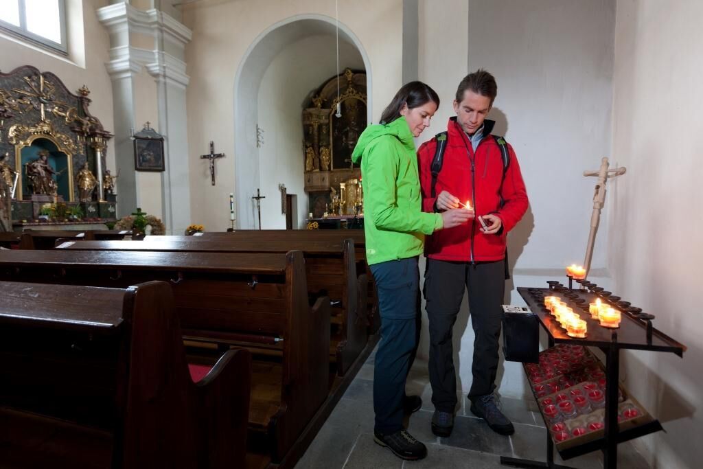
Way of St. James Western Styria from Thal/Graz to Lavamünd/Carinthia

Pellegrinaggio

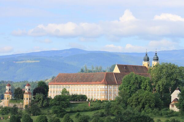
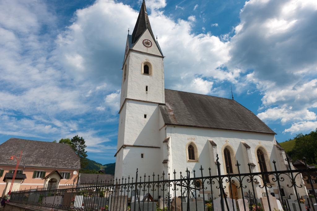
© TRV Graz / Graz Umgebung - Steiermark Tourismus/Schiffer

© TV Lipizzanerheimat - Enrico Caracciolo

© TV Lipizzanerheimat - Enrico Caracciolo

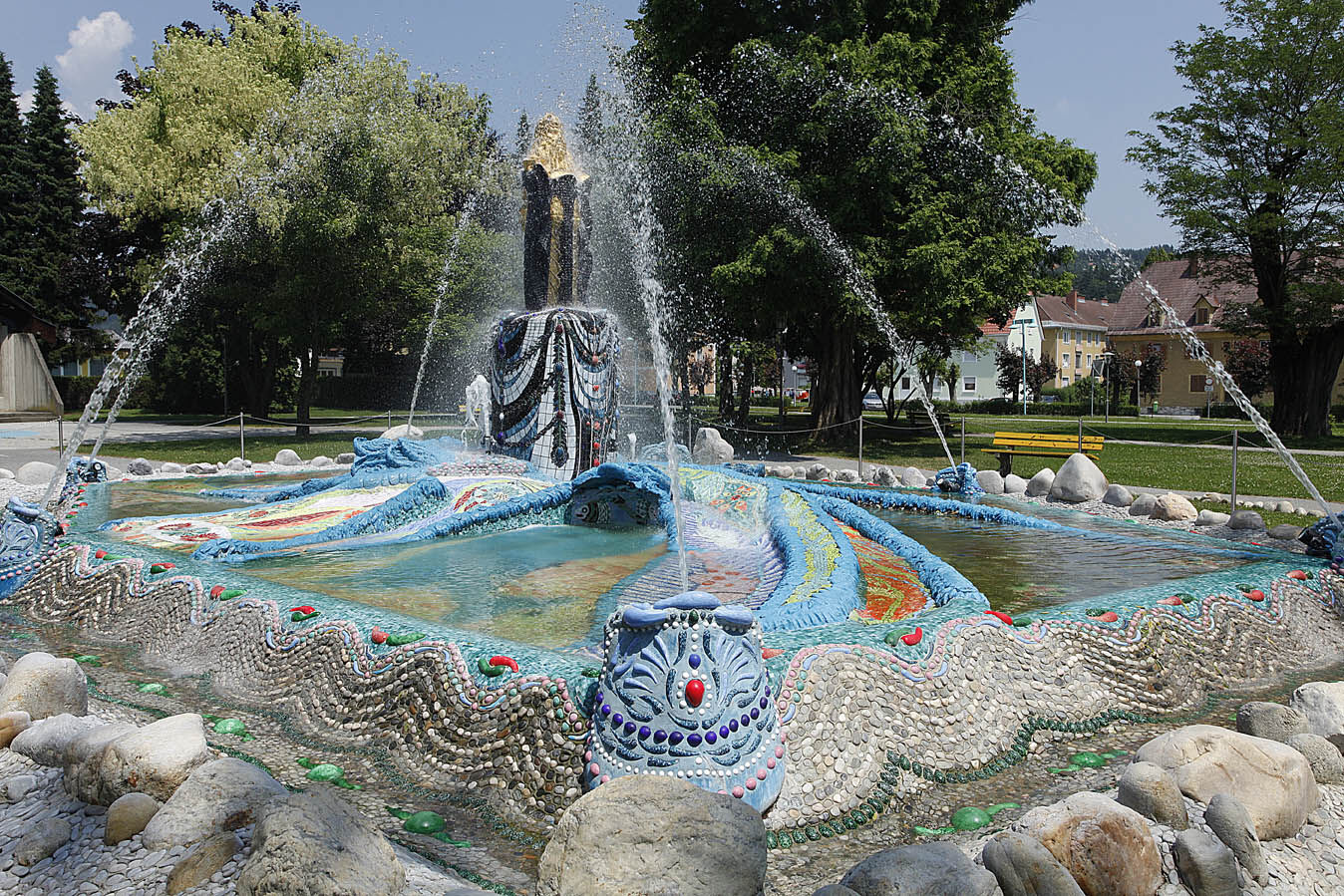
© Wolfsberg - Schober Erich
© Wolfsberg - Schober Erich


© Region Graz - Steiermark Tourismus/Schiffer

- Descrizione rapida
-
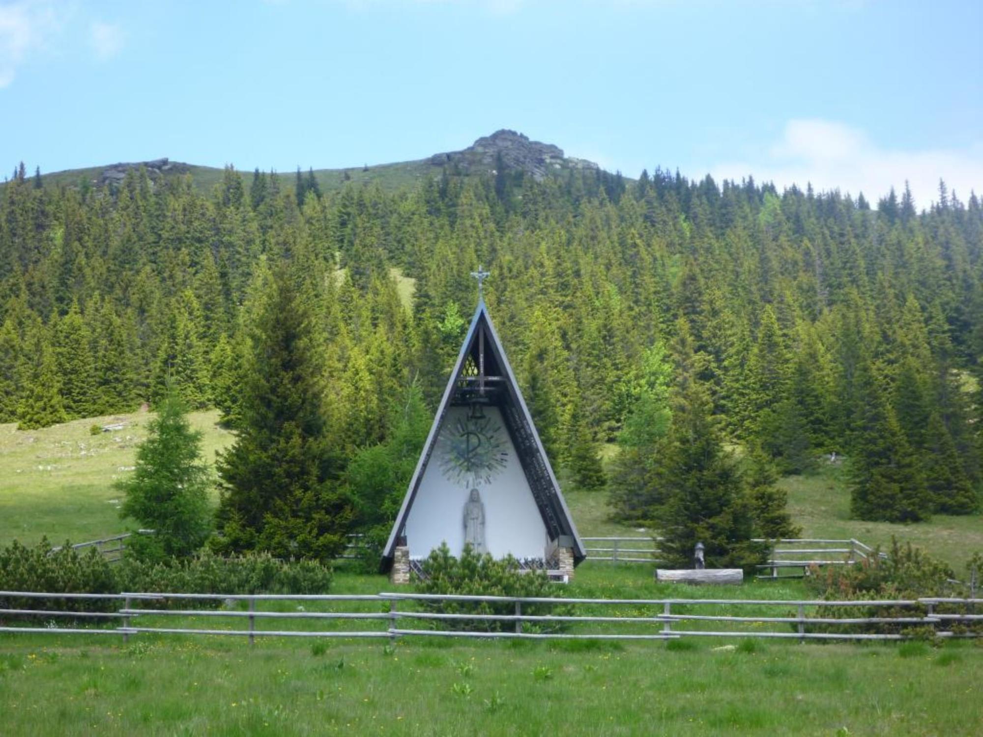
The Way of St. James in Western Styria was opened on 25 July 2010 and is divided into eight stages. These were chosen so that they are manageable for the average hiker. Overnight accommodation is available at the end of each stage. Particularly athletic pilgrims will probably manage a larger daily workload; in the event of bad weather or sightseeing, the mileage will be less. For the most part, the trail leads along existing hiking and pilgrimage routes and partly along asphalted municipal and provincial roads.
- Difficoltà
-
difficile
- Valutazione
-
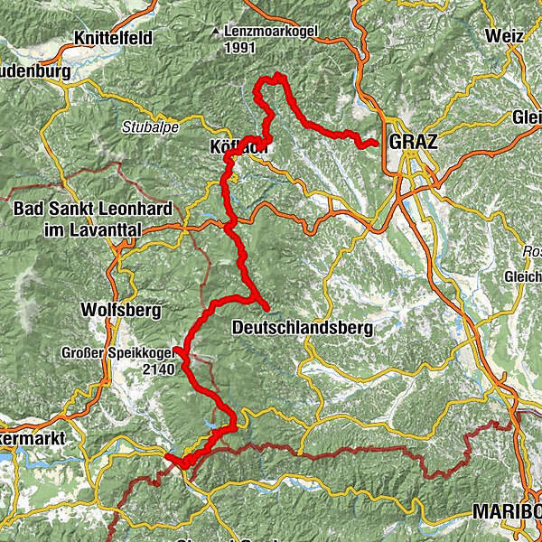
- Percorso
-
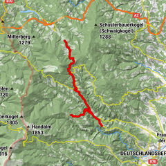
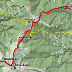
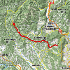
Jakobus-KircheKirchberg0,1 kmThal0,6 kmEck1,5 kmPlankenwarth5,0 kmGasthaus Binderwirt5,2 kmScherleiten6,3 kmWipfing6,8 kmSankt Oswald bei Plankenwarth8,2 kmCafe Vino Veritas8,3 kmGasthaus Kogler8,6 kmHahnbäck-Kapelle9,9 kmUnterweizberg12,7 kmStiwoll14,3 kmhl. Philipp und Jakob14,3 kmGockl-Stub`n14,4 kmSt. Pankrazen20,5 kmGschnaidt22,0 kmPfarrkirche Heiliger Jakob26,2 kmGeistthal-Södingberg26,4 kmGeistthal26,4 kmReinprechtskogel (977 m)32,9 kmSchrott39,0 kmSchrapfberg (740 m)42,4 kmSchrapfberg42,7 kmHochtregist42,8 kmHochtregist43,4 kmOberdorf46,2 kmBärnbach46,7 kmPfarrkirche hl. Barbara46,9 kmGasthaus Tax47,8 kmGasthof Lackner48,4 kmPfarrkirche St. Andreas50,9 kmKöflach54,0 kmRathauscafe Köflach54,2 kmMaria Lankowitz55,6 kmGH Perisutti56,0 kmPfarrkirche hl. Laurentius61,9 kmEdelschrott62,2 kmLukaseder62,8 kmGh. Klug71,3 kmPfarrkirche hl. Veit72,2 kmGh. Greinix72,2 kmModriach72,4 kmHoiswirt74,7 kmSchrogentor (1.255 m)78,4 kmGasthaus Triftweber83,4 kmSt. Oswald im Freiland83,6 kmSt. Jakob (Freiland)89,6 kmFreiland bei Deutschlandsberg89,6 kmSpori-Kapelle95,8 kmPfarrkirche Maria Osterwitz95,9 kmOsterwitz96,0 kmMittereggerkogel (1.350 m)97,7 kmPoschalm100,4 kmPauluskapelle103,5 kmWeinofenblick103,7 kmWeinofen (1.726 m)104,1 kmHühnerstütze (1.989 m)108,6 kmSeespitz (2.066 m)110,5 kmGroßer Speikkogel (2.140 m)111,2 kmKoralpenhaus112,1 kmJauksattel (1.611 m)117,6 kmKleinschneiderkogel (1.663 m)120,0 kmDreieckkogel (1.528 m)123,8 kmDreieckhütte124,1 kmSoboth130,0 kmPfarrkirche hl. Jakobus d. Ä.130,1 kmGasthof Mörth130,2 kmAlpengasthof Messner (1.058 m)130,2 kmJankitz-Trögli139,2 kmLorenzenberg142,0 kmGH Hüttenwirt148,9 kmPfarrdorf149,0 kmLavamünd150,0 kmGH Krone150,0 kmGasthof Adlerwirt150,1 kmGasthof Torwirt150,2 km
- La stagione migliore
-
genfebmaraprmaggiulugagosetottnovdic
- Punto più alto
- 2.137 m
- Destinazione
-
Lavamünd
- Profilo altimetrico
-


-

-
AutoreIl tour Way of St. James Western Styria from Thal/Graz to Lavamünd/Carinthia è utilizzato da outdooractive.com fornito.
GPS Downloads


Info generali
Punto di ristoro
Culturale/Storico
Promettente
Altri tour nelle regioni