© Oststeiermark Tourismus - Gute Idee, Robert Hahn

© Oststeiermark Tourismus - Helmut Schweighofer

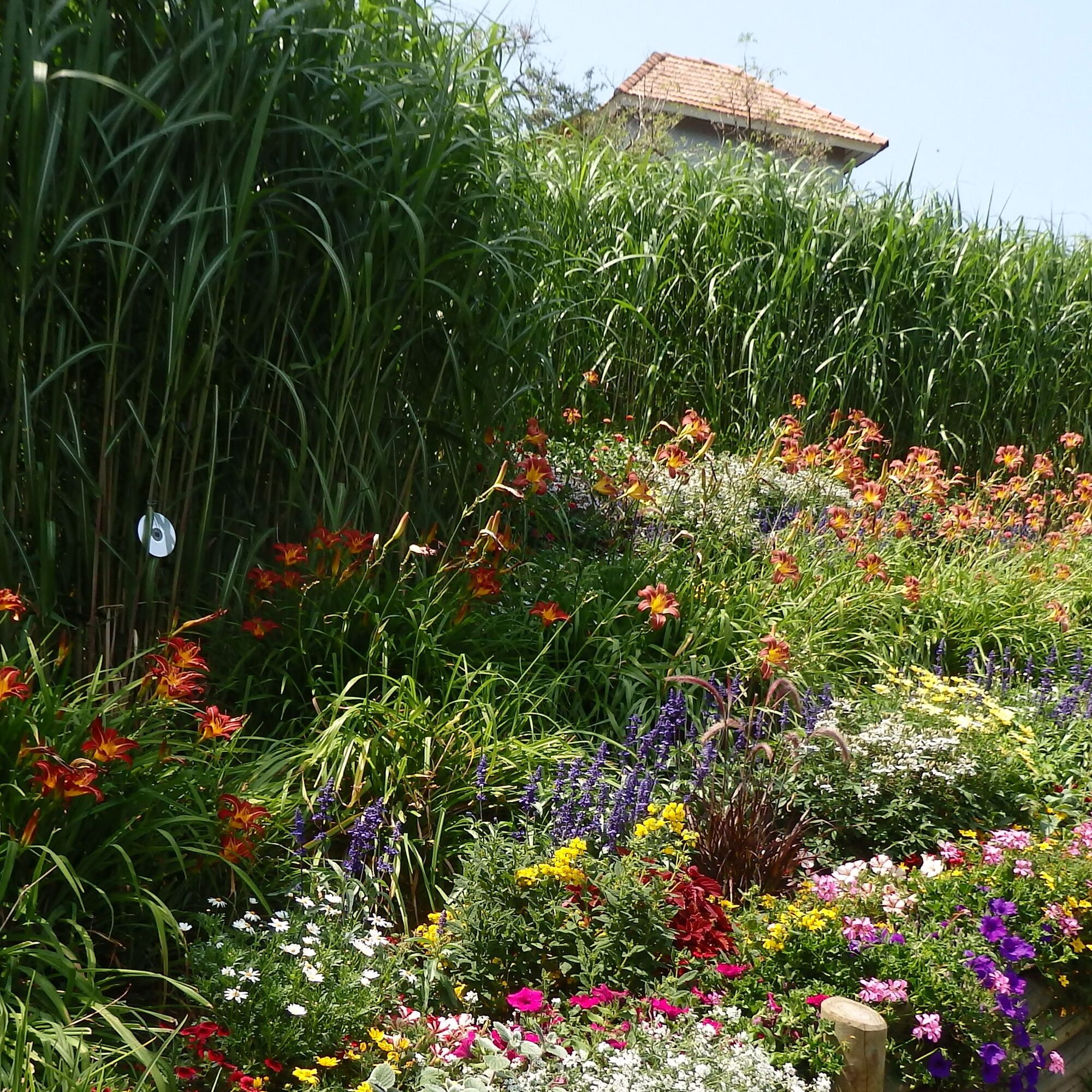
© G. Muhr - Günther Steininger

© G. Muhr - Günther Steininger

© G. Muhr - Günther Steininger

© G. Muhr - Günther Steininger

© Oststeiermark Tourismus - Gemeinde Pöllauberg

© Oststeiermark Tourismus - © Gemeinde Pöllauberg

© Oststeiermark Tourismus - Tourismusverband Oststeiermark

© Oststeiermark Tourismus - Birgit Kandlbauer
- Descrizione rapida
-
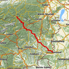
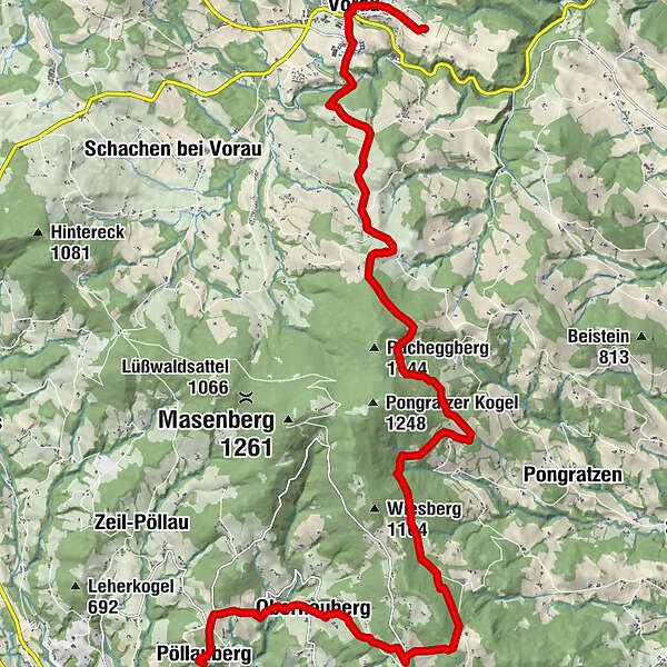
In the rolling hills of northern eastern Styria, on the eastern foothills of the Masenberg, 20 kilometres of regional trails await those seeking meaning, those restless, those on pilgrimage: 3 spiritual centres (Pöllauberg-St. Pankrazen-Vorau), 4 places of power to recharge personal batteries along ancient pilgrimage paths that connect the Formbacherland/Hartbergerland with the Pöllauertal and Joglland nature parks.
- Difficoltà
-
intermedio
- Valutazione
-
- Percorso
-
Filialkirche St. Anna0,0 kmWallfahrtskirche Maria Pöllauberg0,0 kmPöllauberg0,2 kmBerggasthof König0,2 kmBergstubm0,6 kmDreihöf1,1 kmTrinkbrunnen2,0 kmOberneuberg2,7 kmSchutzhaus zum Mesnerhaus10,2 kmSankt Pankrazen10,3 kmKutscherwirt Hotel-Restaurant19,0 kmVorau19,0 kmGasthof Pension „Vorauerhof“19,1 kmKreuzkirche/Friedhofskirche20,5 km
- La stagione migliore
-
genfebmaraprmaggiulugagosetottnovdic
- Punto più alto
- 1.050 m
- Destinazione
-
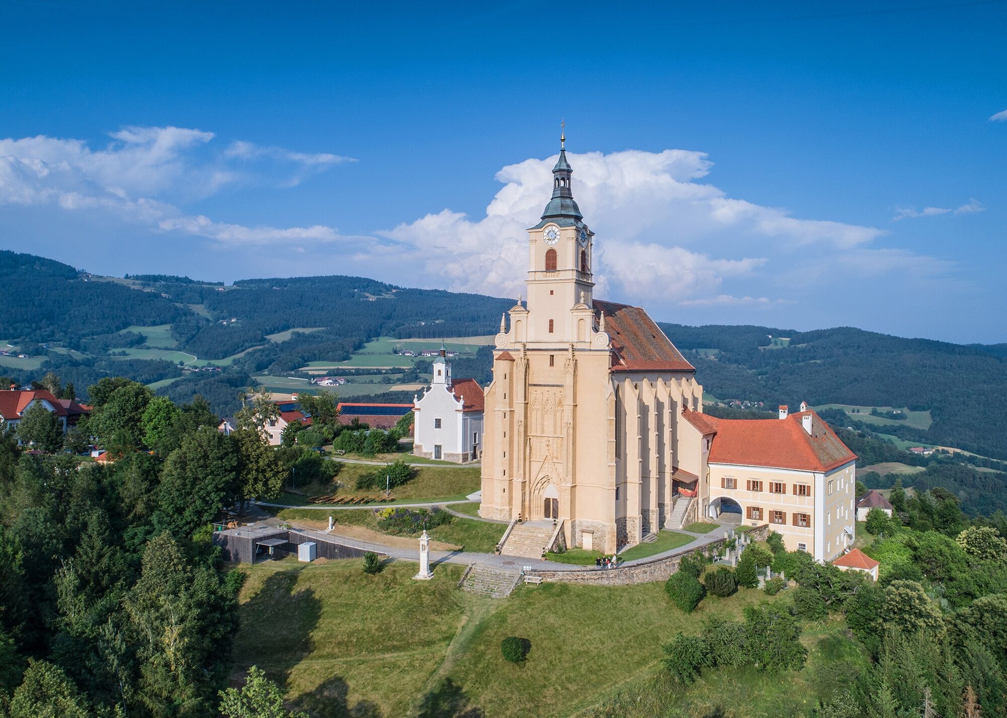
Vorau, Church of the Cross
- Profilo altimetrico
-


-

-
AutoreIl tour Pankratius Way, Pöllauberg è utilizzato da outdooractive.com fornito.
GPS Downloads


Info generali
Punto di ristoro
Culturale/Storico
Promettente
Altri tour nelle regioni
-
Thermen- & Vulkanland
1324
-
Naturpark Pöllauer Tal
1095
-
Vorau
294