Z16 Giglachsee - Weißpriach | Weg des Buches Zentral

Pellegrinaggio
© Weg des Buches - Gerhard Moser
© Weg des Buches - Gerhard Moser

© Weg des Buches - Elisabeth Pausz
- Descrizione rapida
-
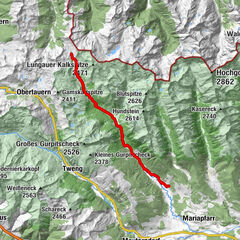
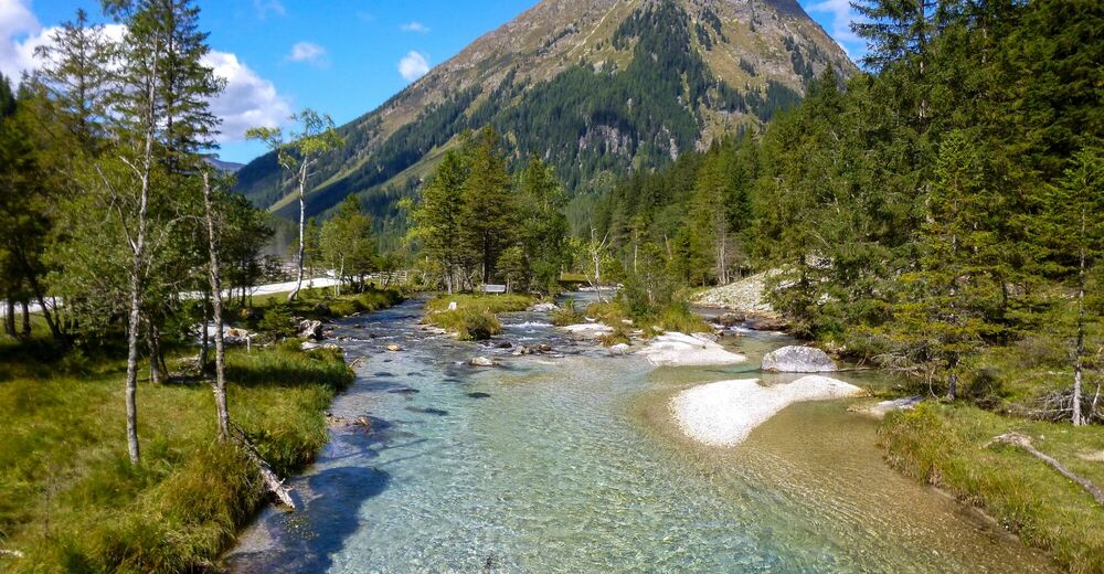
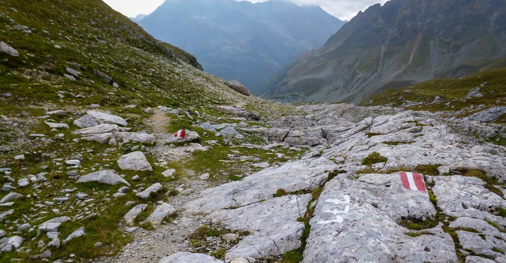
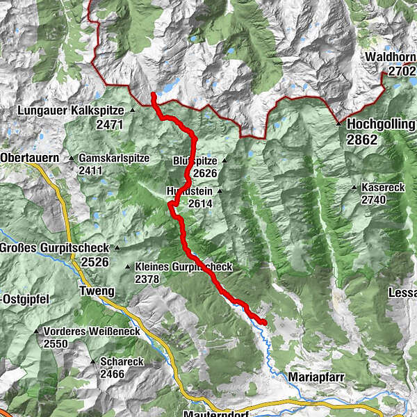
Vom hochgelegenen Giglachsee zum Znachsattel auf Alpinsteigen hinauf und hinunter ins Znachtal mit seinen Bächen und Wasserfällen nach Weißpriach.
- Difficoltà
-
difficile
- Valutazione
-
- Percorso
-
Bärei4,4 kmKirchner Bildstöckl6,0 kmHinterlahn8,2 kmLahntörl9,9 kmAusblick Granier Wasserfall10,6 kmDicktlerhütte11,0 kmHinterweißpriach14,2 kmWeißpriach16,3 kmSchwaig16,4 kmSonndörfl17,1 km
- La stagione migliore
-
genfebmaraprmaggiulugagosetottnovdic
- Punto più alto
- 2.051 m
- Destinazione
-
Weißpriach
- Profilo altimetrico
-


- Autore
-
Il tour Z16 Giglachsee - Weißpriach | Weg des Buches Zentral è utilizzato da outdooractive.com fornito.
GPS Downloads


Info generali
Culturale/Storico
Promettente
Altri tour nelle regioni
-
Katschberg Lieser-Maltatal
2574
-
Obertauern
1648
-
Weißpriach
207