© Schilcherland Steiermark - Peter Kremser

© Südsteiermark - Hannes Eybel

© Südsteiermark - Hannes Eybel

© Unbekannt

© Unbekannt


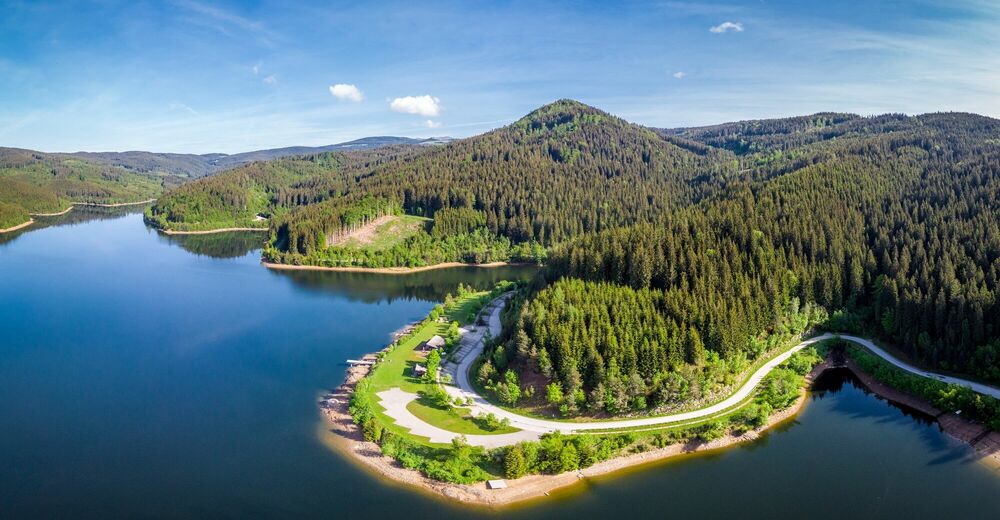
© Schilcherland Steiermark - Bernhard Prangl
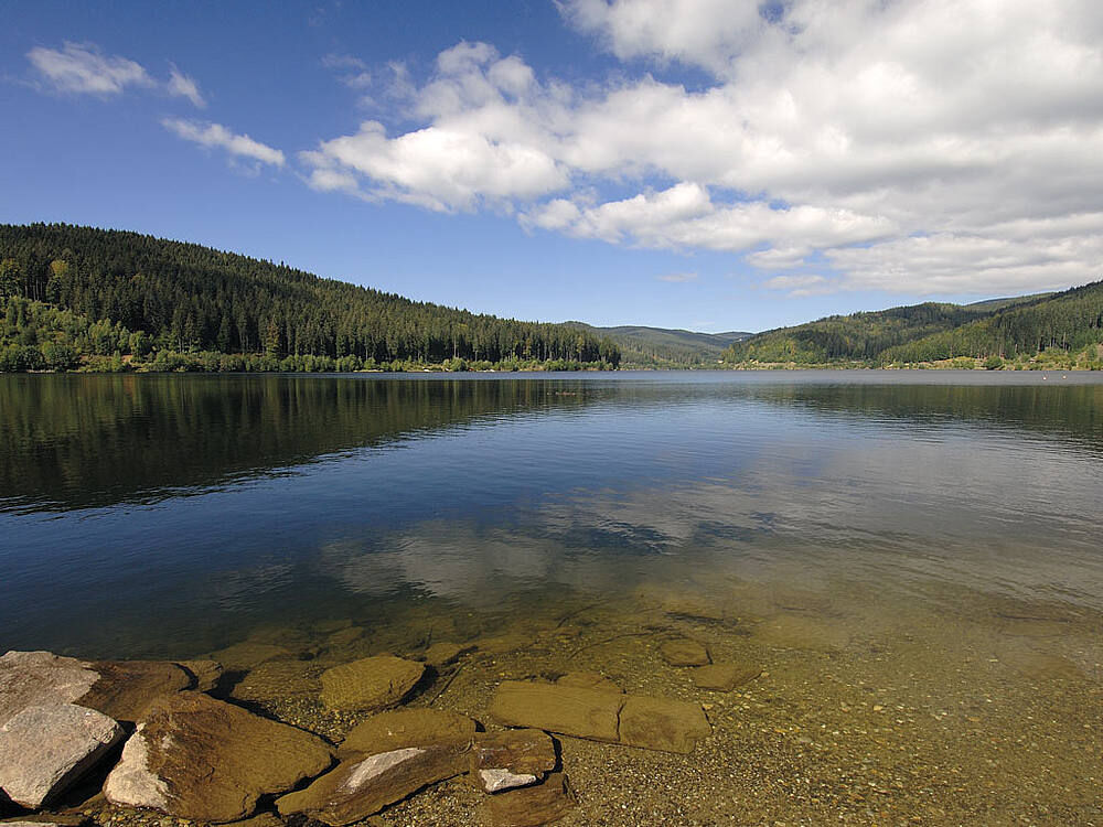
© Schilcherland Steiermark - Bernhard Prangl

© Schilcherland Steiermark - Bernhard Prangl

© Schilcherland Steiermark - Bernhard Prangl
- Descrizione rapida
-
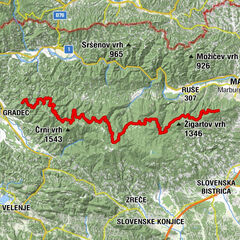
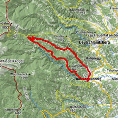
In the grand tours of the road professionals, the king's stages are those sections of the day that are the longest for the participants and are packed with the most metres in altitude.
- Difficoltà
-
difficile
- Valutazione
-
- Percorso
-
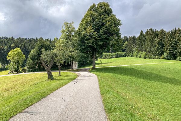
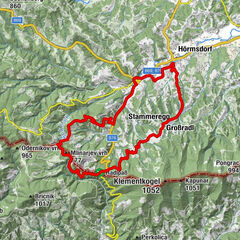
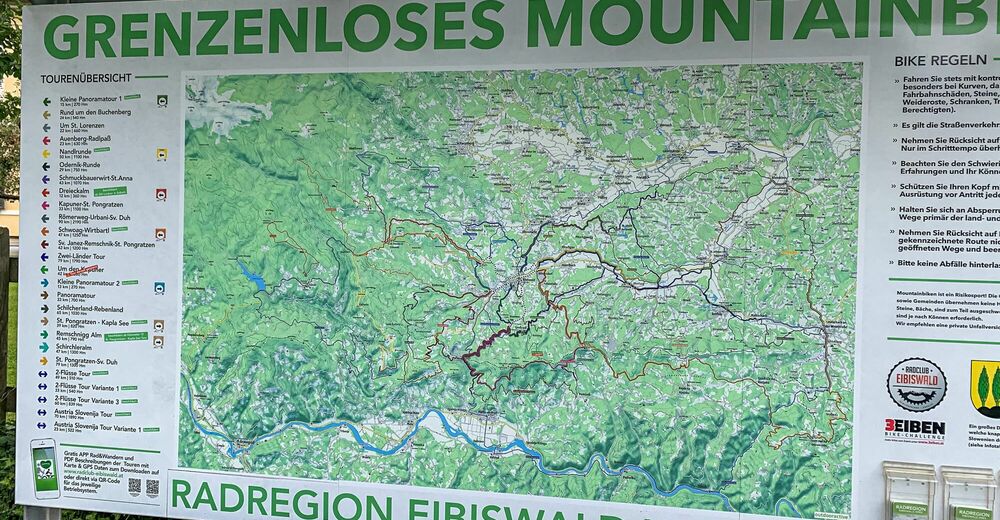
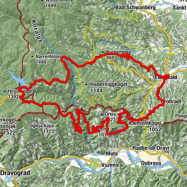
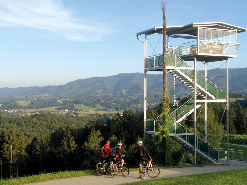
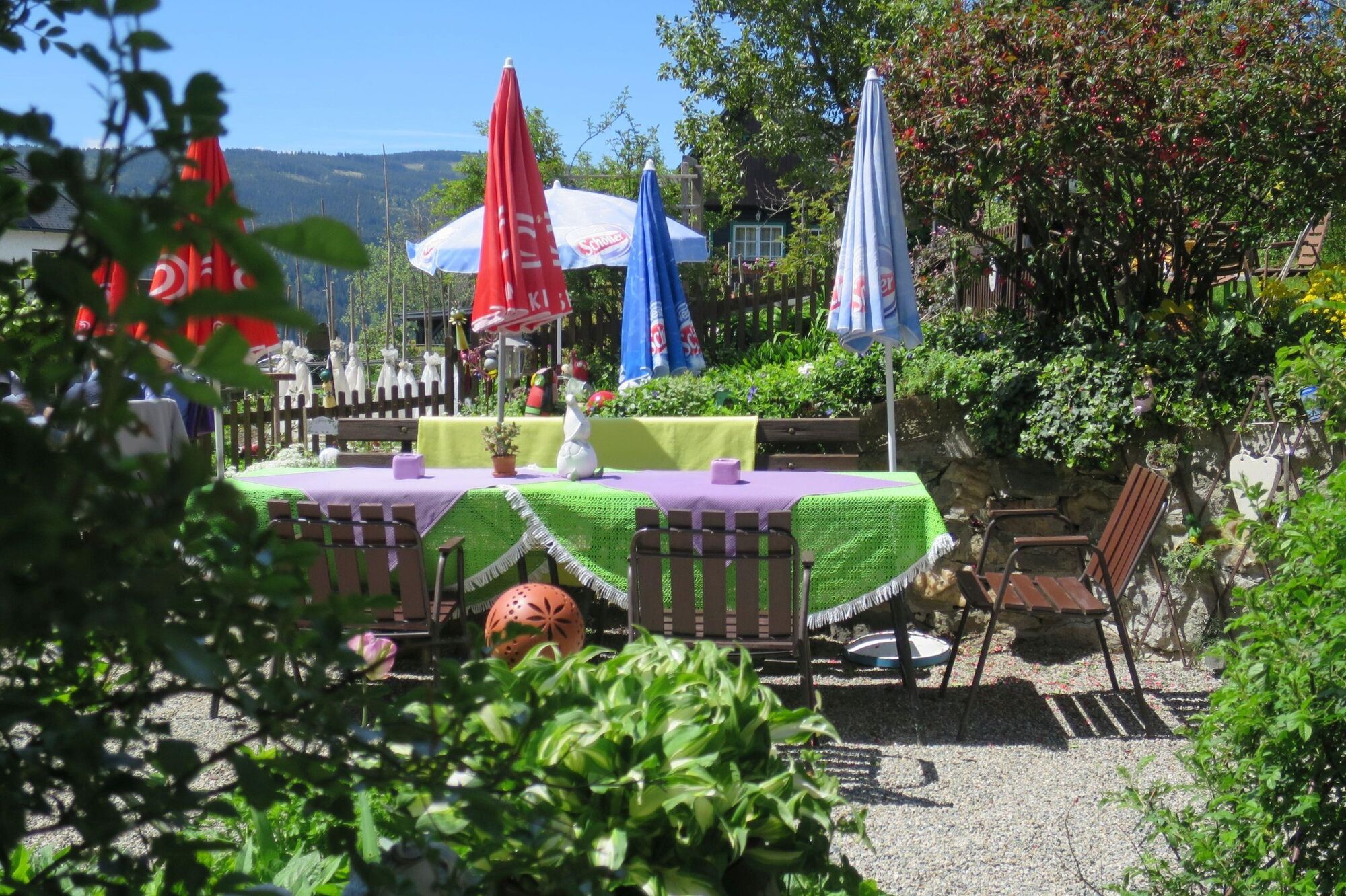
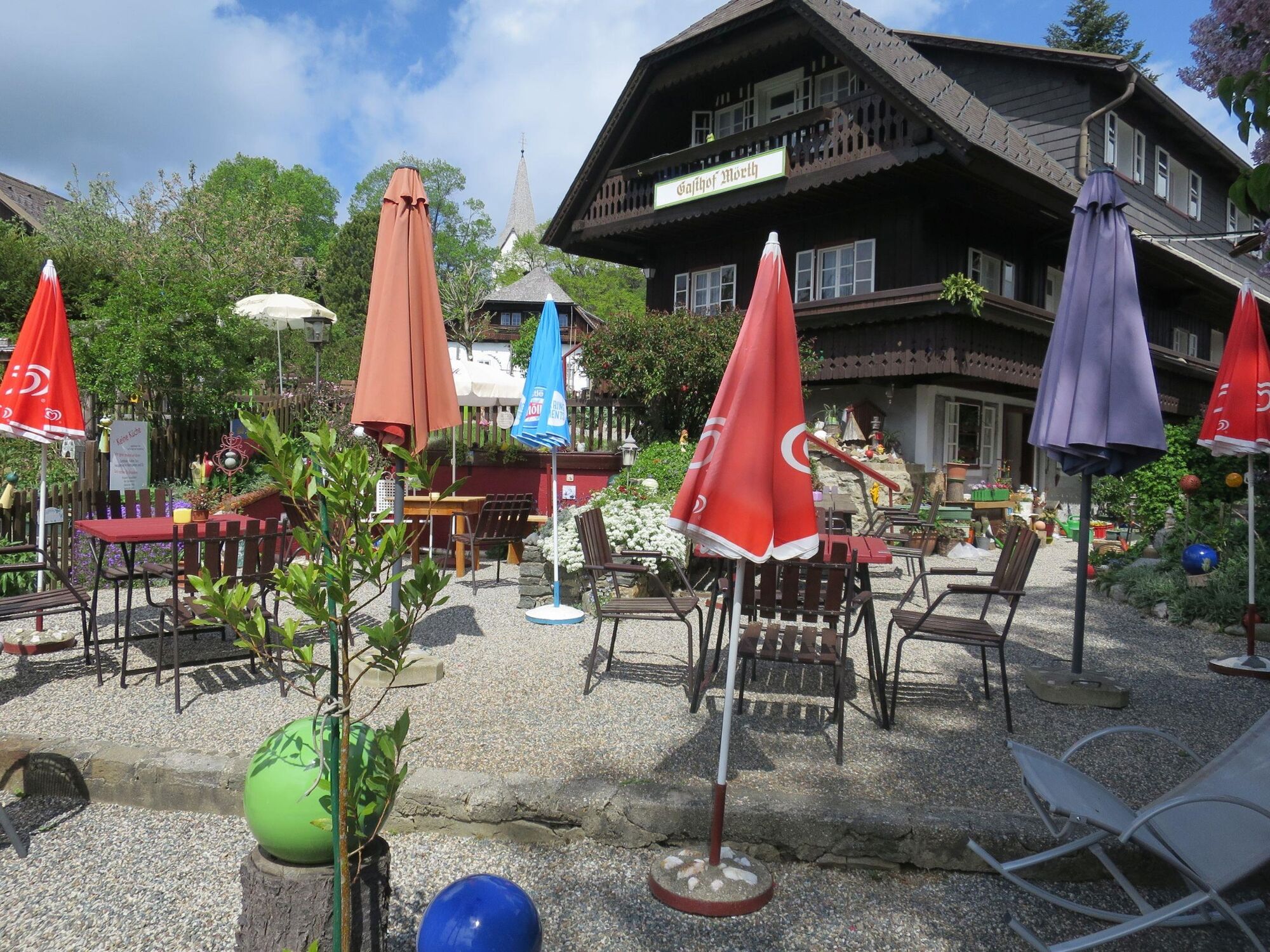
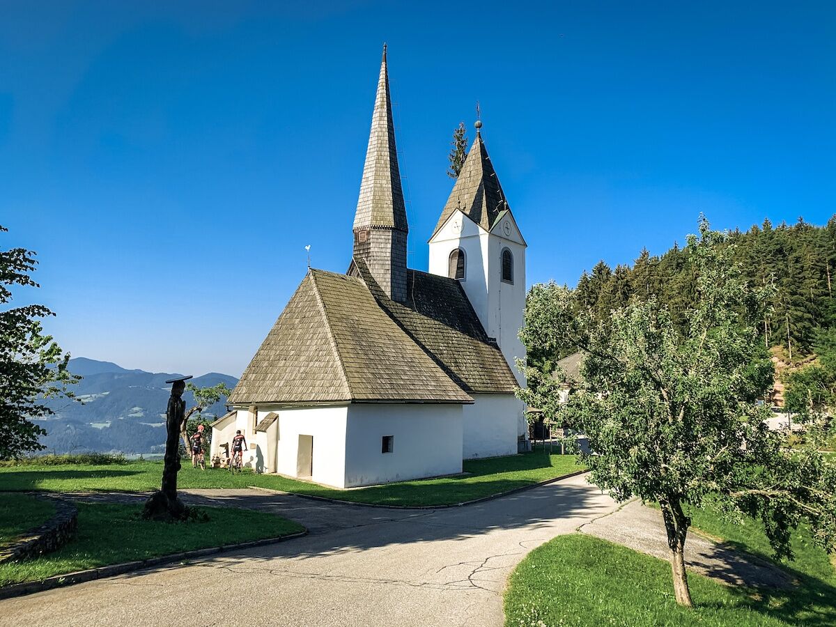
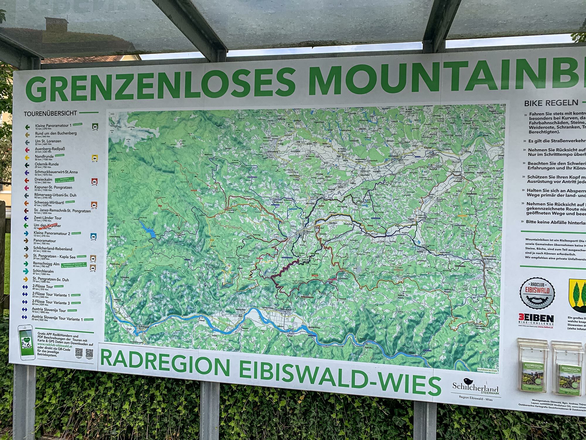
Pfarrkirche Maria im DornHasewend’s Kirchenwirt0,0 kmEibiswald0,3 kmStammeregg3,5 kmProter Kapelle4,3 kmMlinarjev vrh (777 m)12,4 kmZwatricks Restaurant - Café - Wein50,7 kmSoboth54,5 kmAlpengasthof Messner (1.058 m)54,6 kmGasthof Mörth54,6 kmRoschitzhof57,3 kmKrumbach61,9 kmSankt Oswald ob Eibiswald65,6 kmHöchwirth Kapelle70,0 kmAussichtsturm Garber74,0 kmBuschenschank Garber74,1 kmEibiswald77,6 kmHasewend’s Kirchenwirt78,2 kmPfarrkirche Maria im Dorn78,2 km
- La stagione migliore
-
genfebmaraprmaggiulugagosetottnovdic
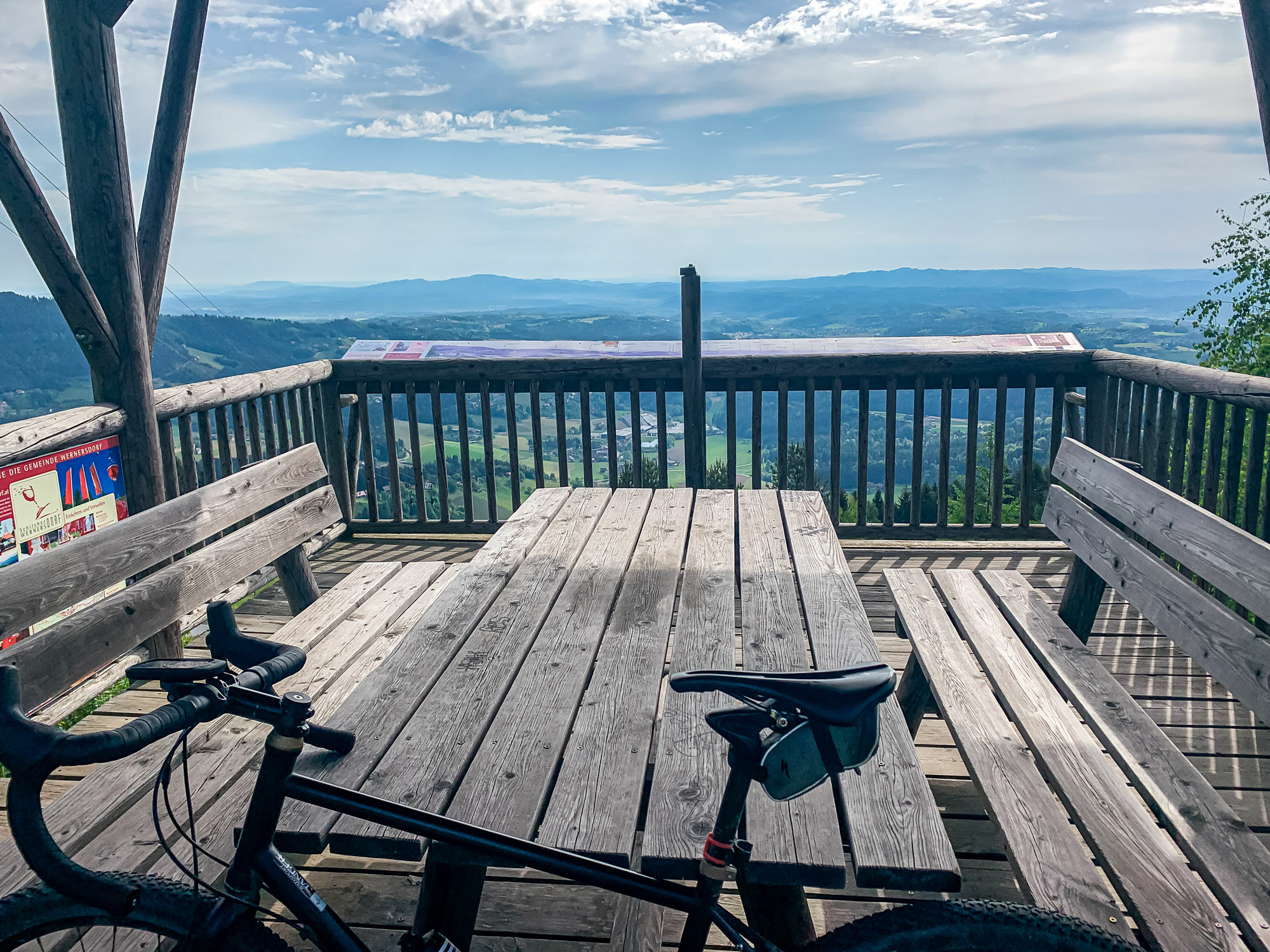
- Punto più alto
- 1.171 m
- Destinazione
-
Eibiswald church square
- Profilo altimetrico
-


- Autore
-
Il tour Two-country tour - the royal stage. è utilizzato da outdooractive.com fornito.
GPS Downloads


Info generali
Punto di ristoro
Promettente
Altri tour nelle regioni
-
Südsteiermark
137
-
Schilcherland Steiermark
85
-
Muta
38