© Tourismusverband Region Murau - CM Visuals

© Tourismusverband Region Murau - CM Visuals

© Holzwelt Murau - Tom Lamm

- Descrizione rapida
-
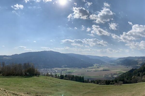
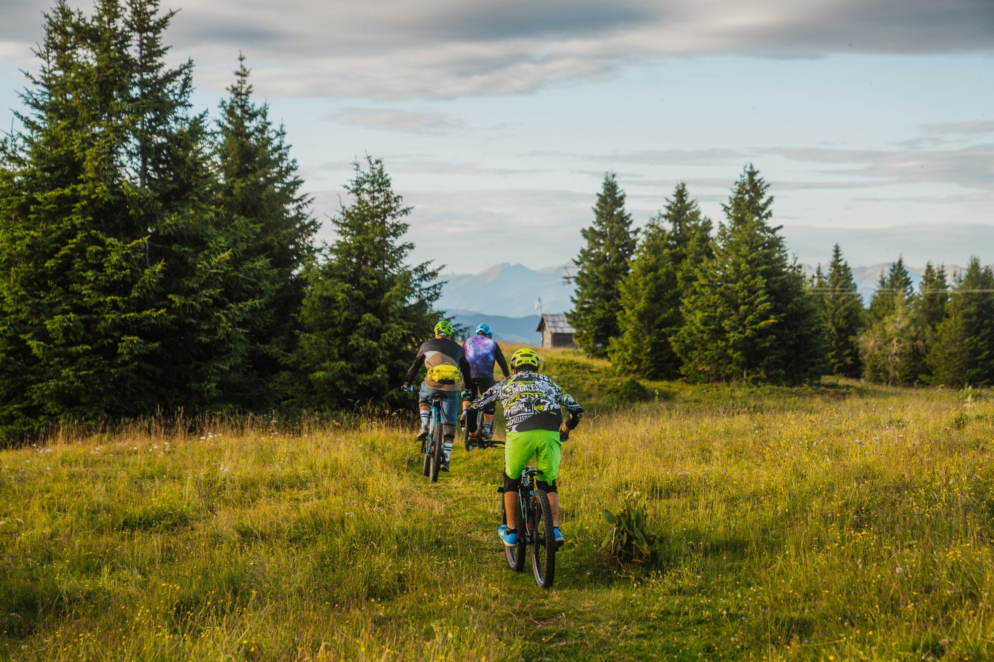
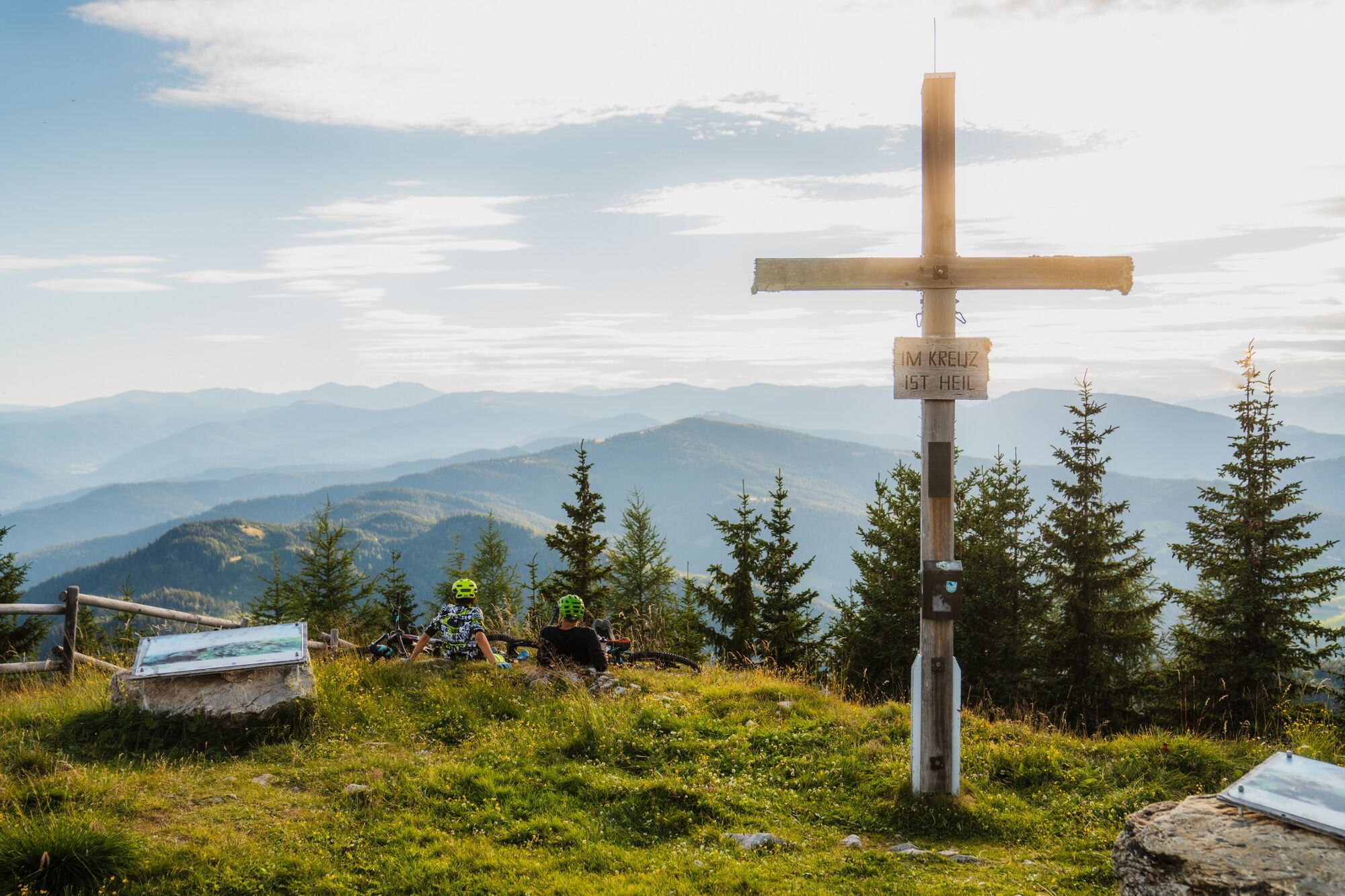
Excellent high-altitude trail on the Grebenzen that leaves you wanting more!
- Difficoltà
-
difficile
- Valutazione
-
- Percorso
-
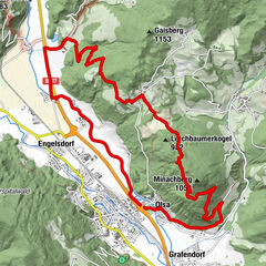
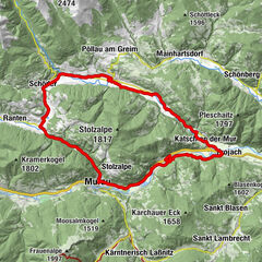
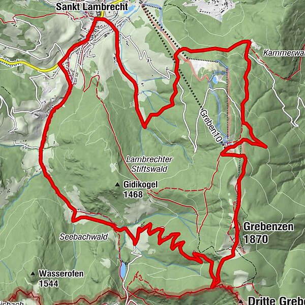
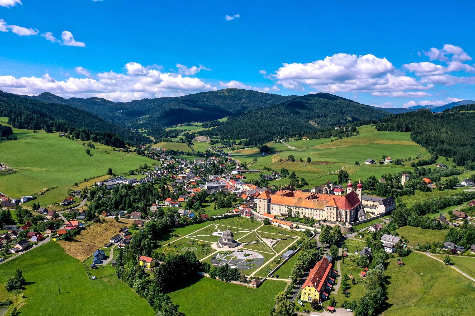
Sankt LambrechtTorwirt0,0 kmMarktcafé0,0 kmStifterl0,0 kmMarktkreuz0,2 kmVorstadt1,0 kmWieskreuzkapelle1,9 kmAuerling4,7 kmDreiwiesenhütte10,4 kmGrebenzen (1.870 m)10,8 kmWallfahrtskirche Maria Schönanger15,5 kmGasthaus Schönanger15,5 kmSankt Lambrecht20,9 kmTorwirt20,9 kmMarktcafé20,9 kmStifterl20,9 km
- La stagione migliore
-
genfebmaraprmaggiulugagosetottnovdic
- Punto più alto
- 1.861 m
- Destinazione
-
Abbey Gate St. Lambrecht
- Profilo altimetrico
-

- Autore
-
Il tour Grebenzen Hightrail è utilizzato da outdooractive.com fornito.
GPS Downloads


Info generali
Punto di ristoro
Promettente
Altri tour nelle regioni