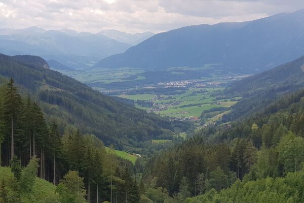
© Naturerlebnis Bürgeralm - Daniel Kraut

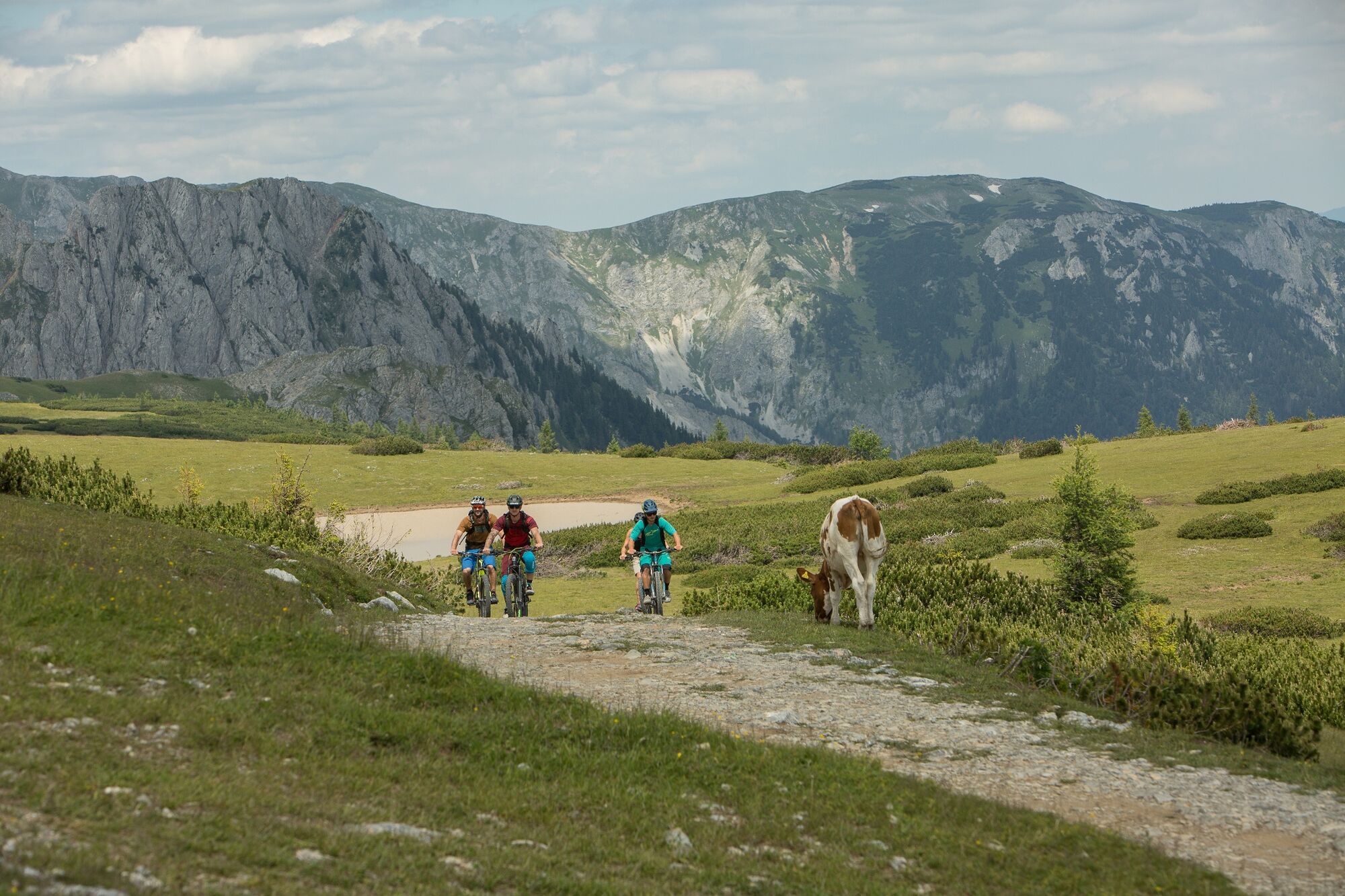
© Naturerlebnis Bürgeralm - Klaus Morgenstern

© Naturerlebnis Bürgeralm - Klaus Morgenstern

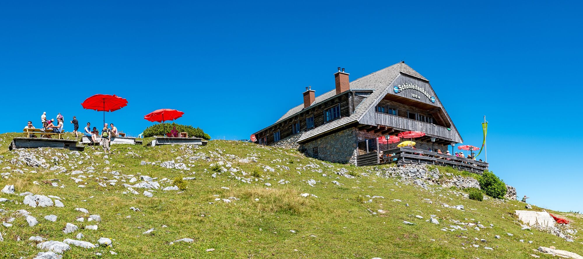
© Schönleitenhaus Bürgeralm - Patrick Baumgartner

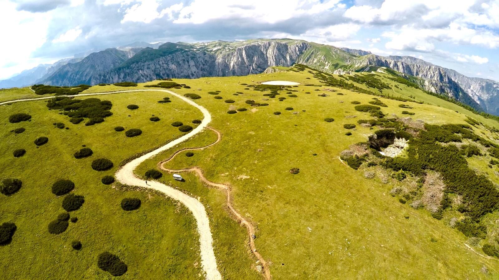
© Naturerlebnis Bürgeralm - Martin Fülöp

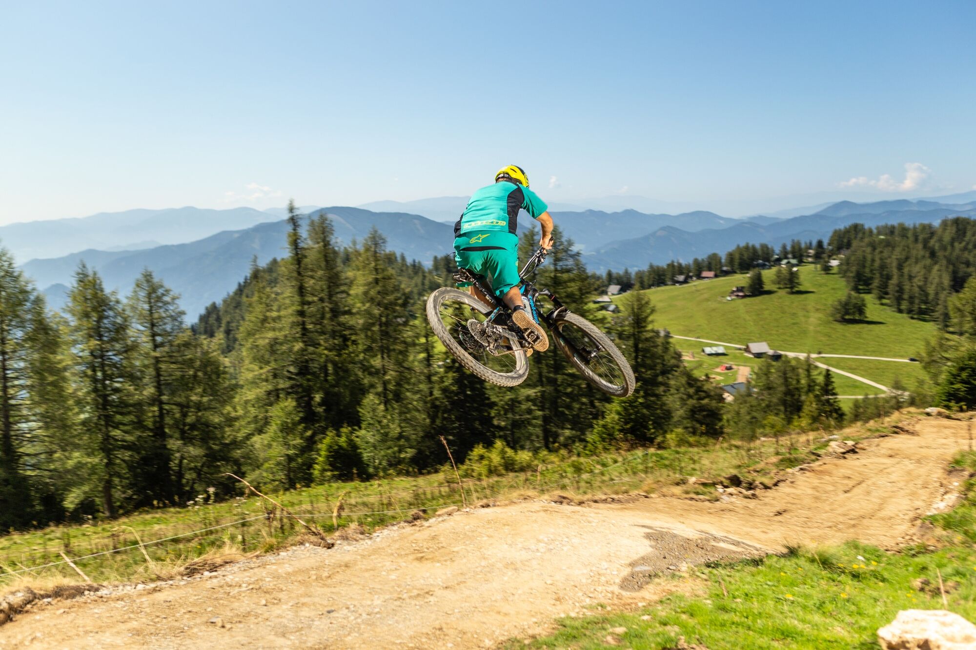
© Naturerlebnis Bürgeralm - Martin Fülöp

- Descrizione rapida
-
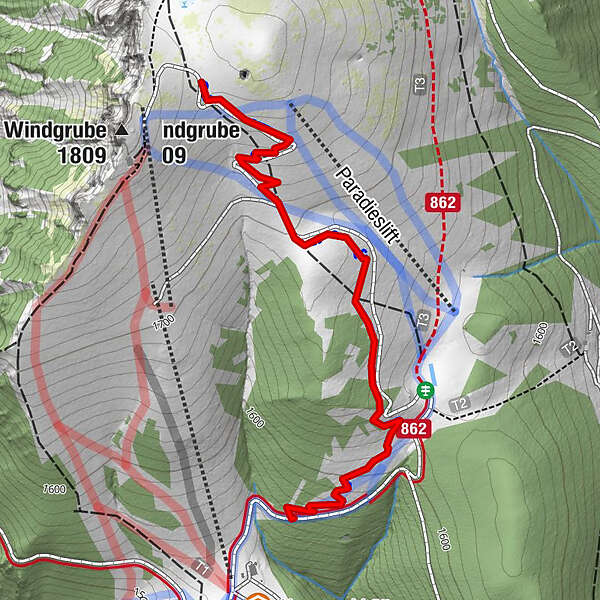
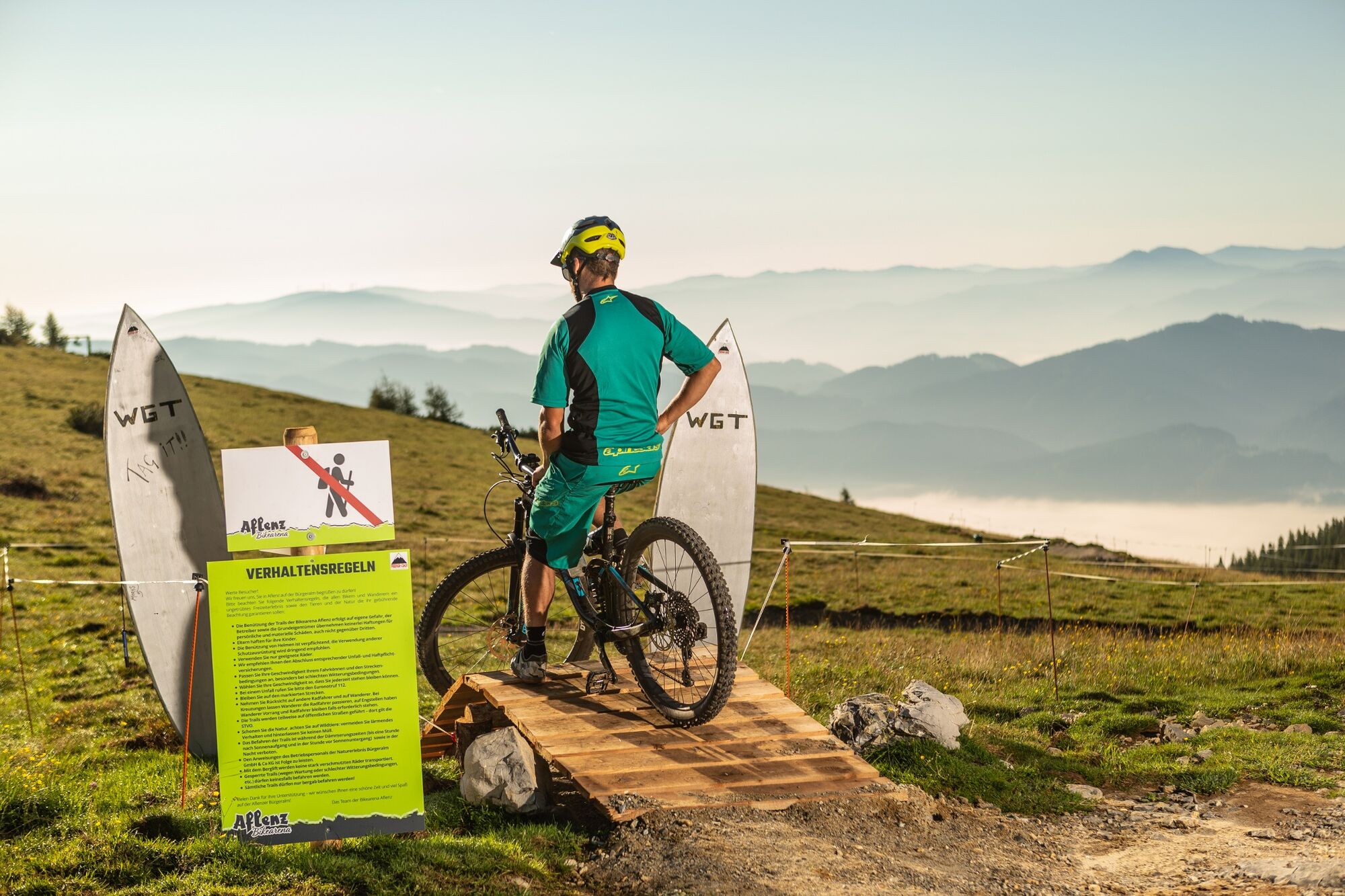
The trail is about 1.5km long and leads from just below the Schönleitenhaus (www.schoenleitenhaus.at) along the alpine road across the "paradise" to the alpine floor.
- Difficoltà
-
intermedio
- Valutazione
-
- La stagione migliore
-
genfebmaraprmaggiulugagosetottnovdic
- Punto più alto
- 1.765 m
- Destinazione
-
Almboden der Bürgeralm (15.10 m)
- Profilo altimetrico
-


- Autore
-
Il tour Windgruben - Trail è utilizzato da outdooractive.com fornito.
GPS Downloads


Percorsi
Trial
Info generali
Punto di ristoro
Suggerimento
Promettente
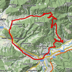
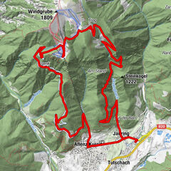
Altri tour nelle regioni