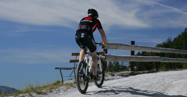
© Erlebnisregion Schladming-Dachstein - Schladming Dachstein

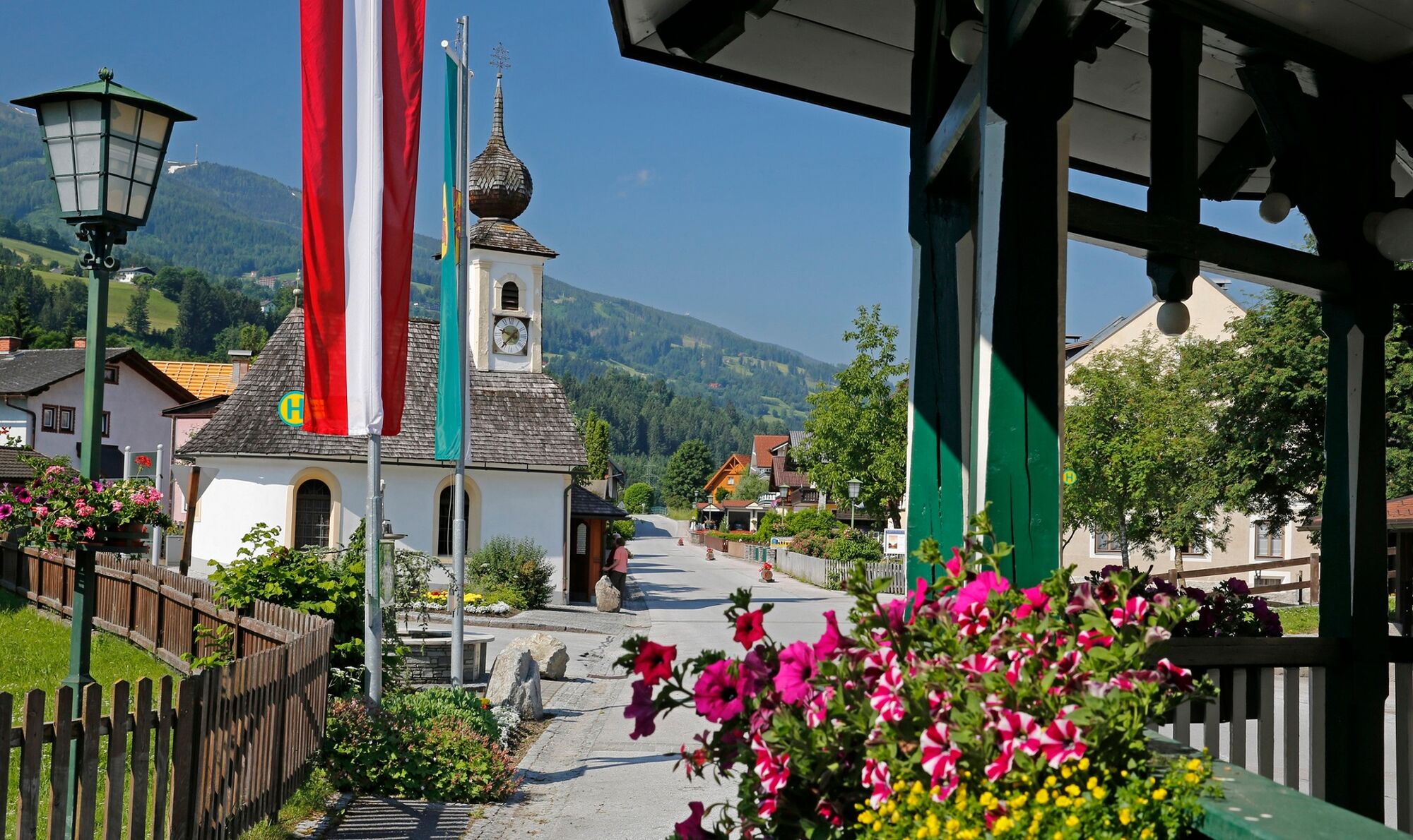
© Herbert Raffalt - Tourismusverband Haus-Aich-Gössenberg

© Erlebnisregion Schladming-Dachstein - TV Gröbmingerland

- Descrizione rapida
-
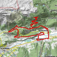
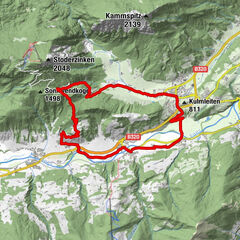
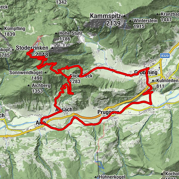
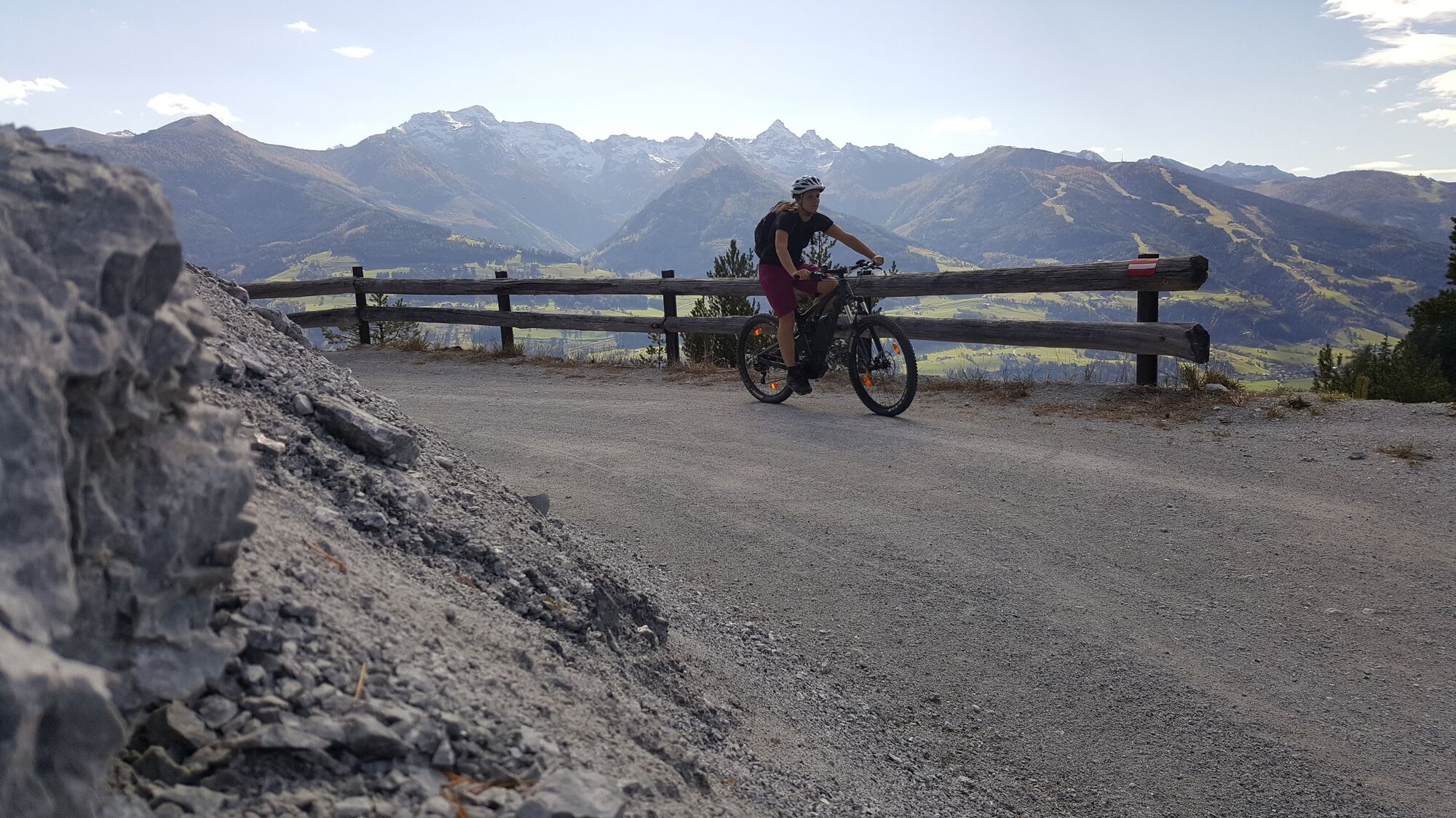
Long climb up the Stoderzinken, which is rewarded with a fantastic panorama.
- Difficoltà
-
intermedio
- Valutazione
-
- Percorso
-
Mariä Himmelfahrt0,3 kmGröbming0,4 kmThalhamm2,6 kmPruggern5,9 kmAich10,7 kmBärenwirt10,8 kmAssach12,2 kmSticklereck (1.283 m)17,4 kmStöderl20,2 kmDürrenbachquelle20,9 kmStoder23,8 kmBerggasthof Steinerhaus24,1 kmStöderl27,7 kmGröbmingeralm33,4 kmJausenstation Stodermaut33,8 kmWinkl34,6 kmGröbming36,9 kmFriedfofskapelle37,1 km
- La stagione migliore
-
genfebmaraprmaggiulugagosetottnovdic
- Punto più alto
- 1.826 m
- Destinazione
-
Market Square, Gröbming
- Profilo altimetrico
-


- Autore
-
Il tour Stoderzinken Tour | 13 è utilizzato da outdooractive.com fornito.
GPS Downloads


Info generali
Punto di ristoro
Culturale/Storico
Promettente
Altri tour nelle regioni