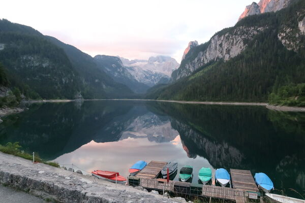
© Erlebnisregion Schladming-Dachstein - Loretta Kvitek

© Unbekannt - Schall Verlag GmbH
Dati percorsi
3,88km
1.712
- 2.674m
952hm
03:00h
- Livello di difficoltà
- A/B
- Descrizione rapida
-
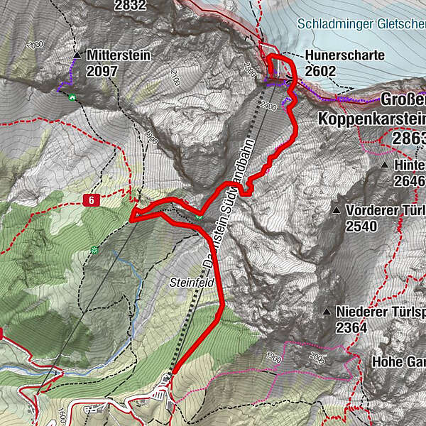
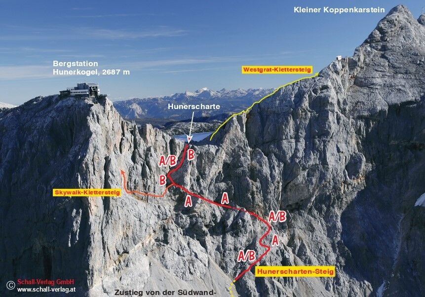
Die Hunerscharte ist erst ab Ende Juni bis ca. Ende September begehbar. Klettersteig Schwierigkeit A/B. Dieser Klettersteig ist in beide Richtungen begehbar.
- Difficoltà
-
intermedioLivello di difficoltà A/B
- Valutazione
-
- Percorso
-
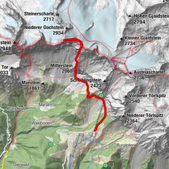
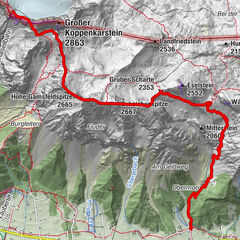
Dachsteinsüdwandhütte1,5 kmHunerscharte (2.602 m)3,5 kmHunerkogel (2.687 m)3,8 kmDachstein glacier restaurant3,8 km
- La stagione migliore
-
genfebmaraprmaggiulugagosetottnovdic
- Punto più alto
- 2.674 m
- Destinazione
-
Dachstein Gletscherbahn top station
- Exposition
- Profilo altimetrico
-


-

-
AutoreIl tour Hunerscharte è utilizzato da outdooractive.com fornito.
GPS Downloads


Info generali
Promettente
Altri tour nelle regioni