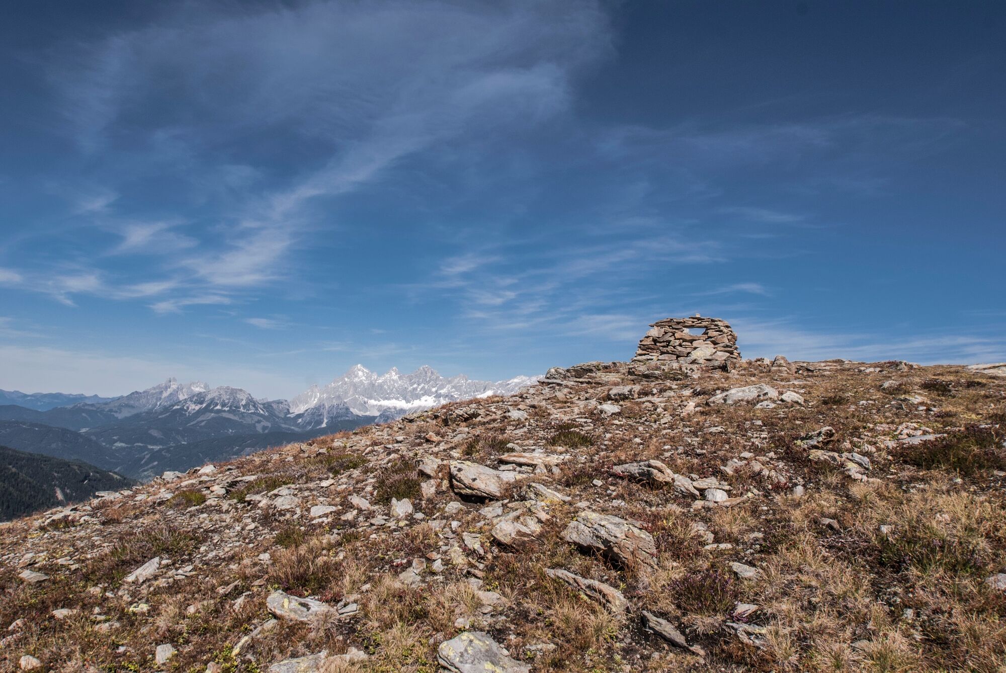
© Gerhard Pilz

© Gerhard Pilz - www.gpic.at - Gerhard Pilz

© Tourismusverband Schladming - Gerhard Pilz

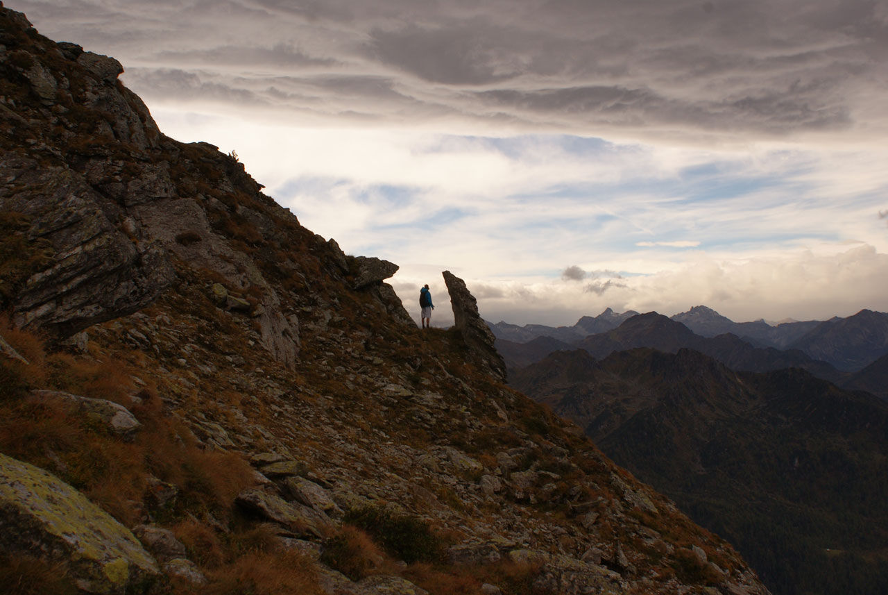
© Astrid Meissnitzer - Gerhard Pilz

© Gerhard Pilz

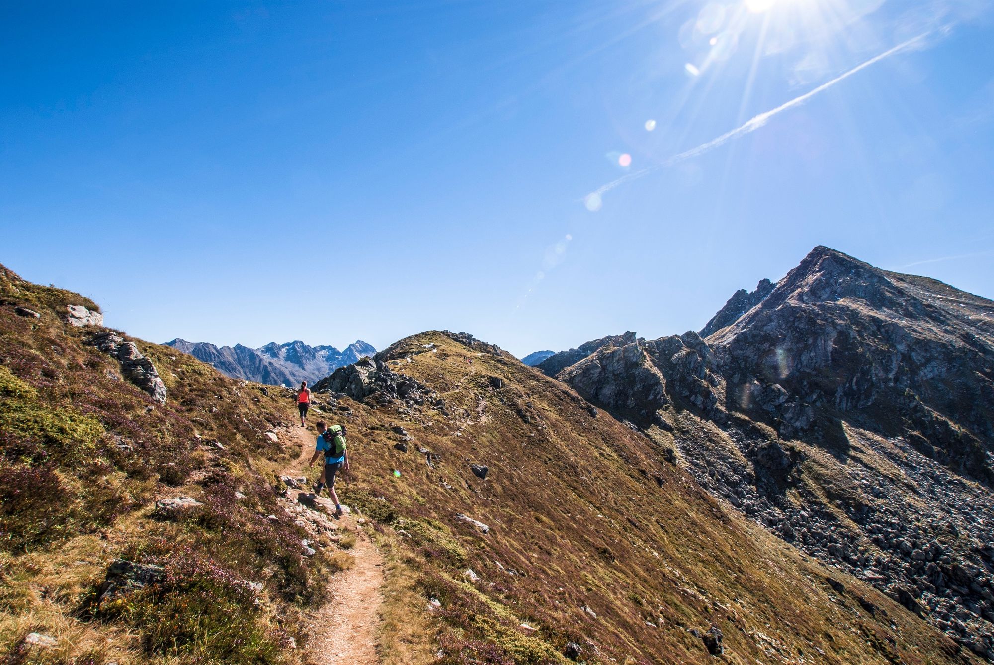
© Tourismusverband Schladming - Martin Huber - Martin Huber
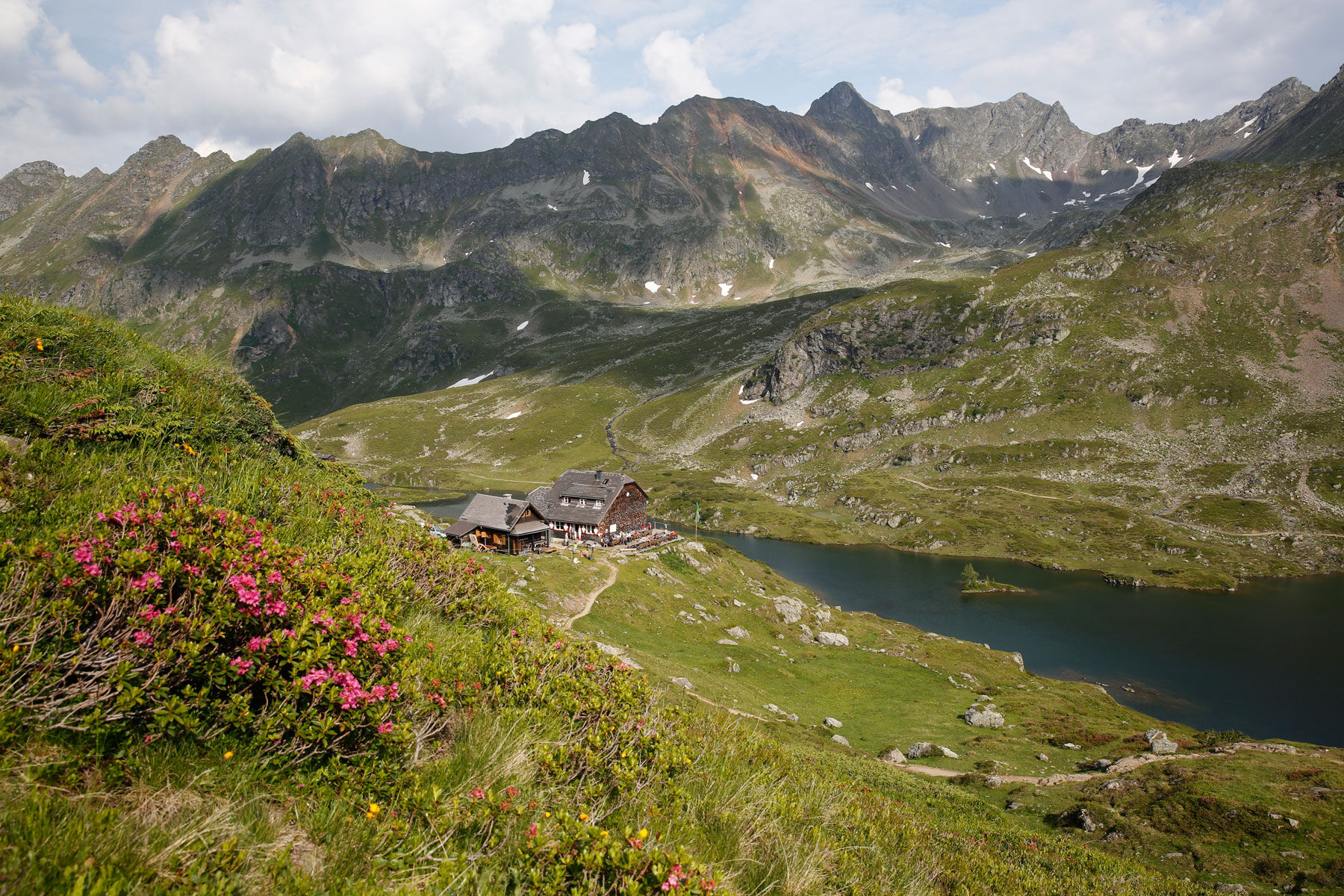
© Tourismusverband Schladming - Astrid Meissnitzer

© Astrid Meissnitzer - Gerhard Pilz

© Tourismusverband Schladming - Gerhard Pilz

© Tourismusverband Schladming - Astrid Meissnitzer
- Descrizione rapida
-
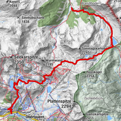
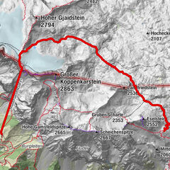
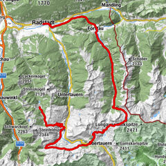
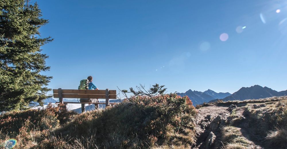
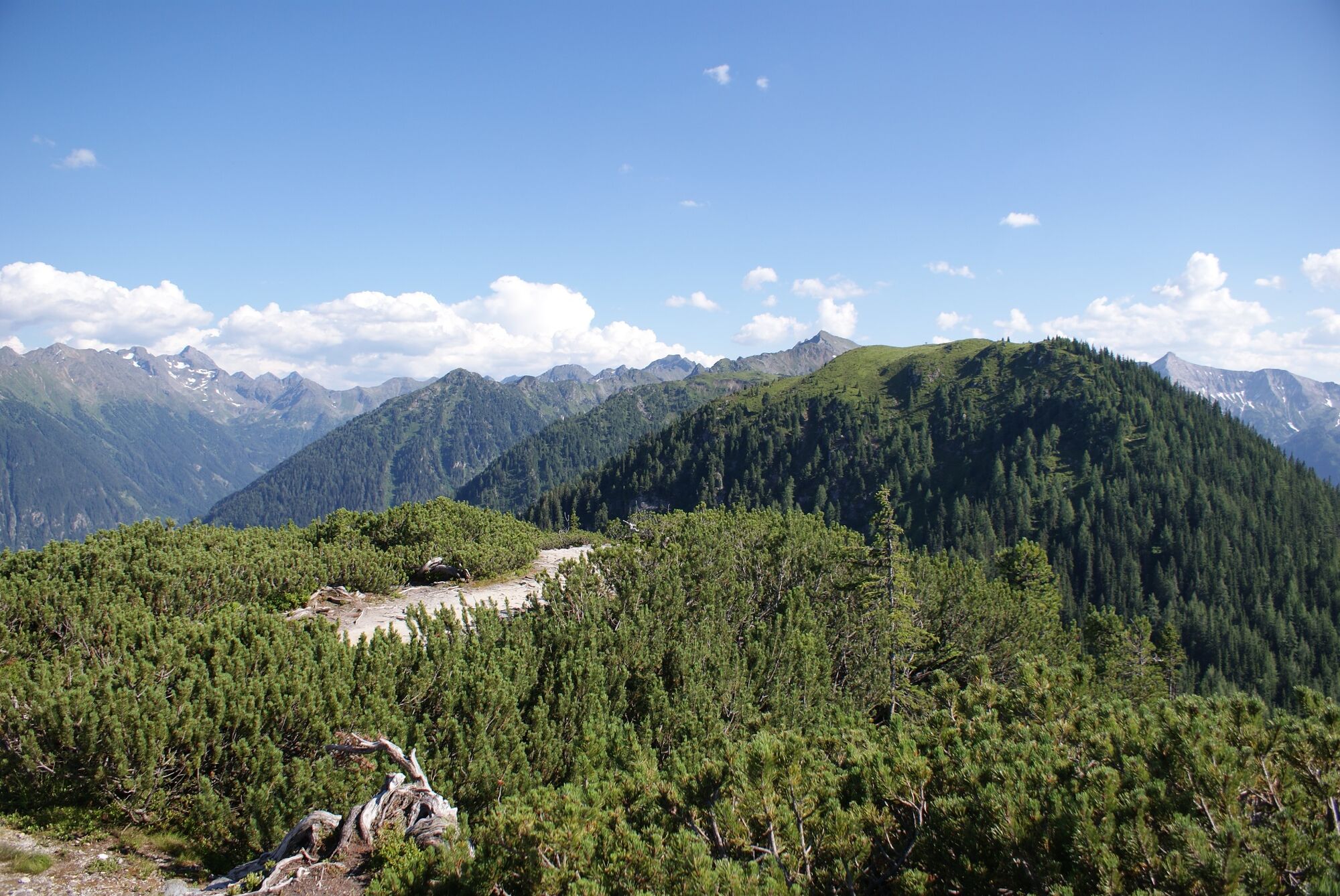
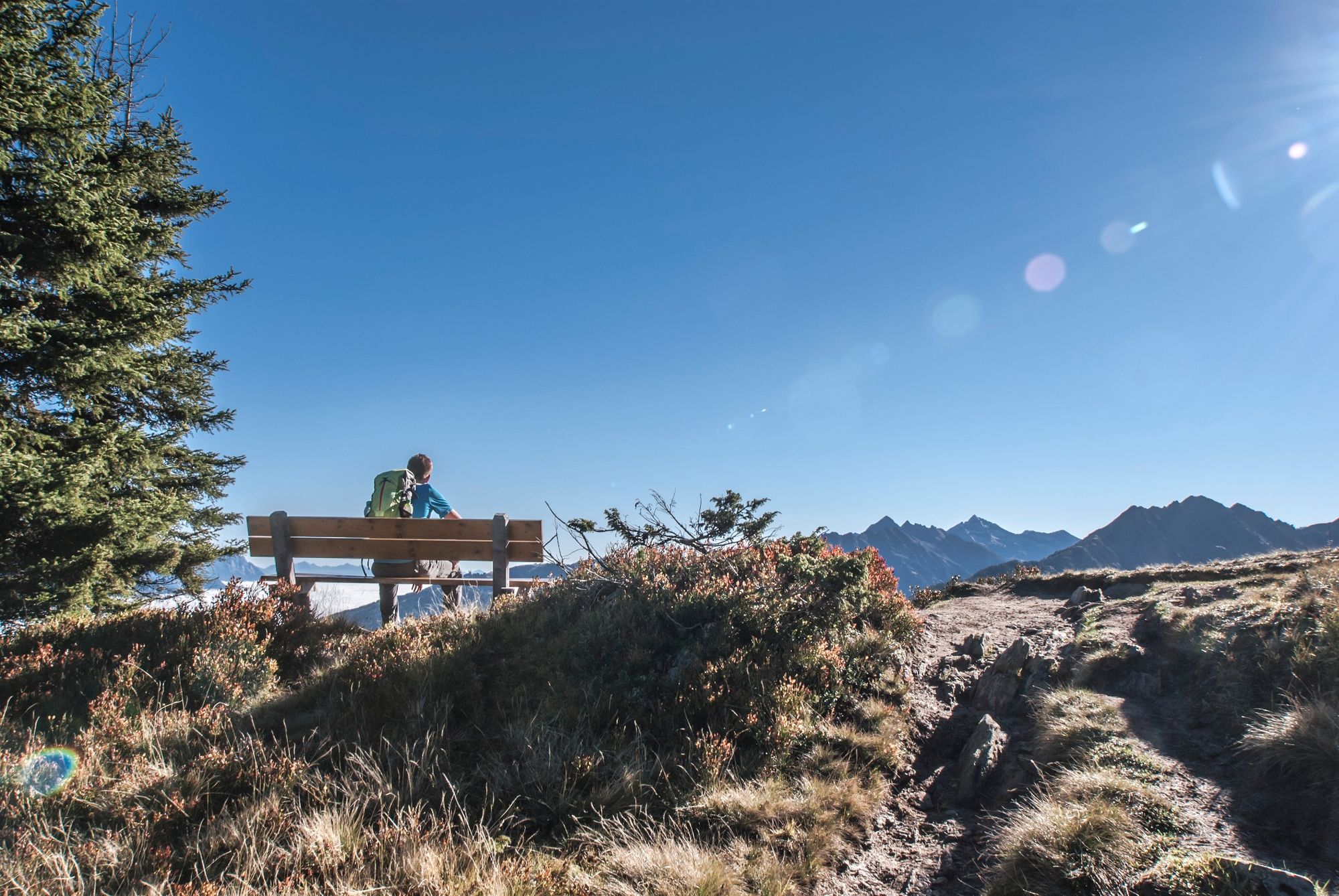
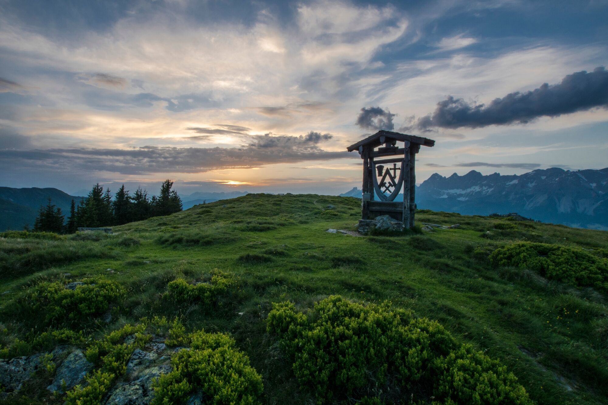
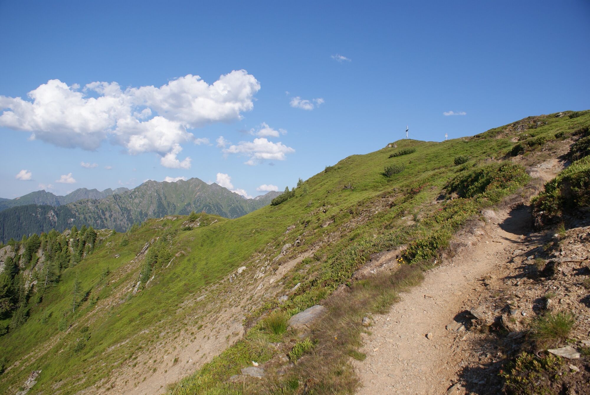
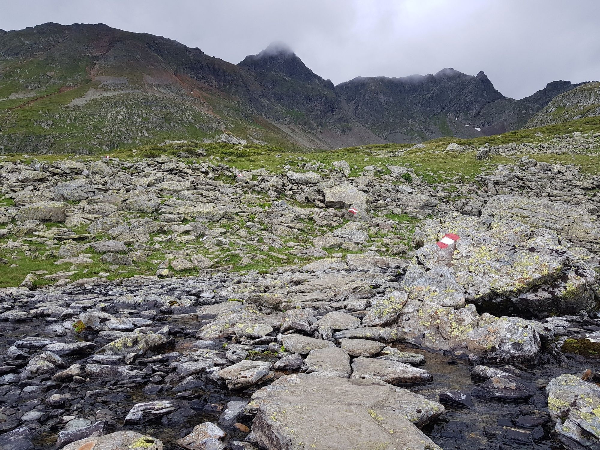
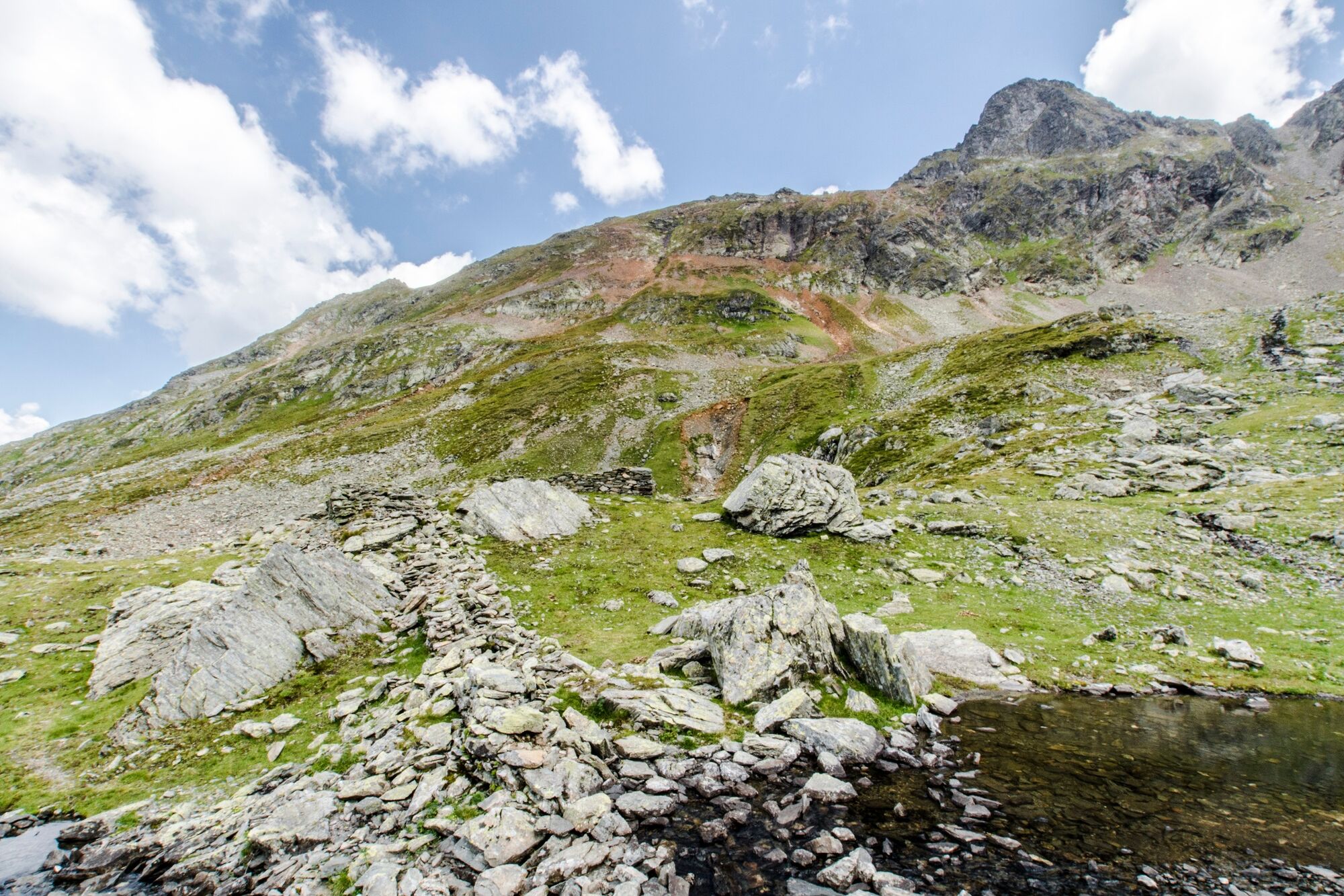
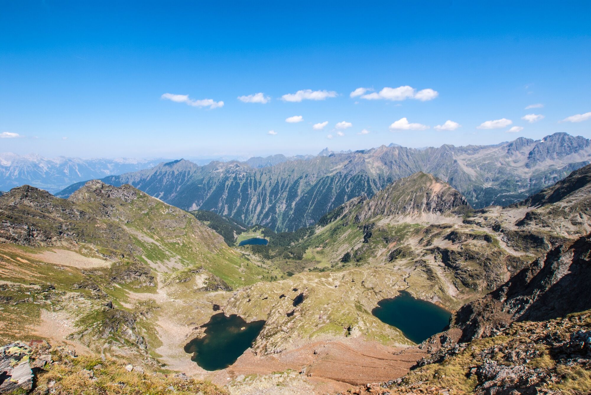
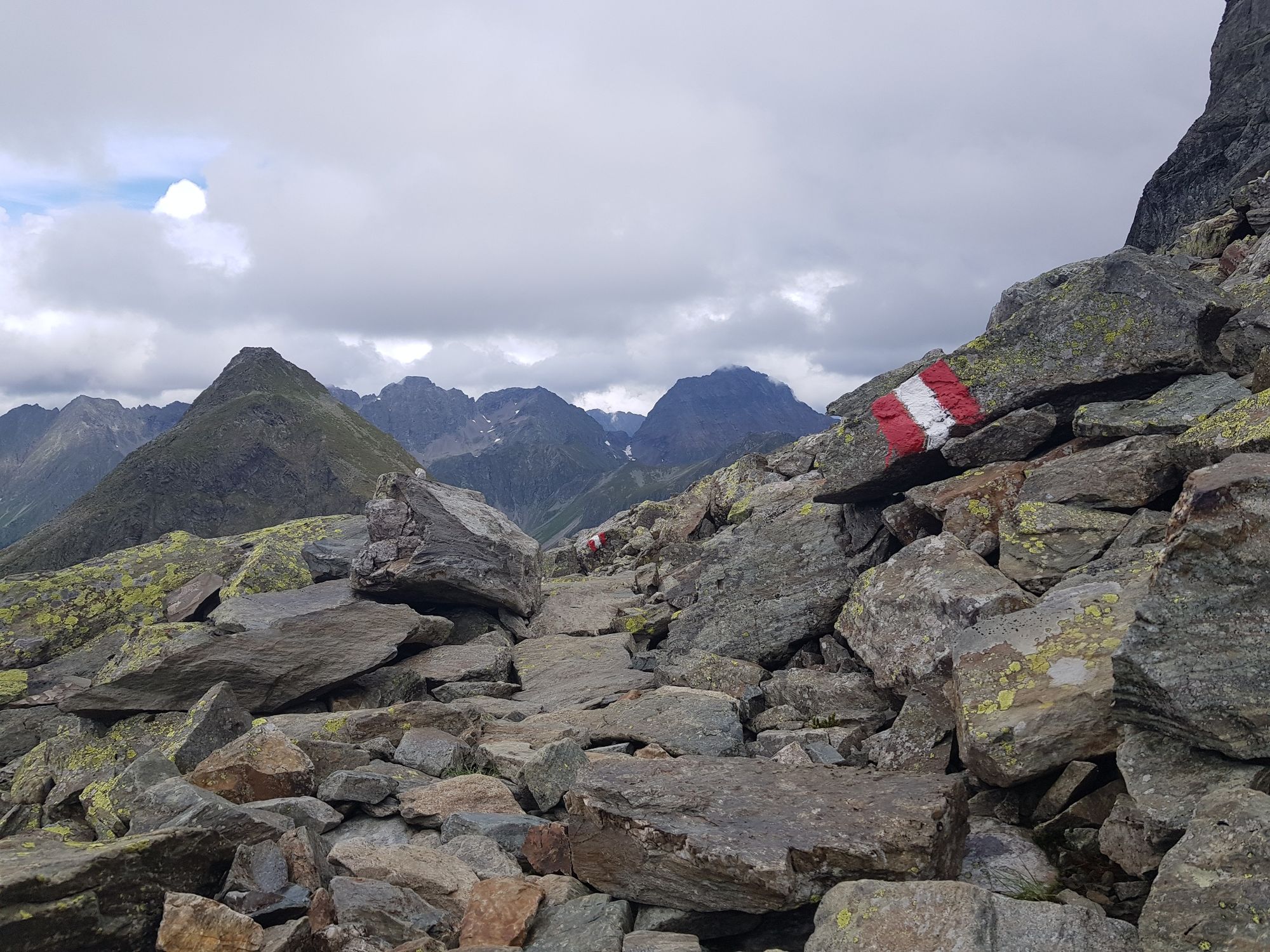
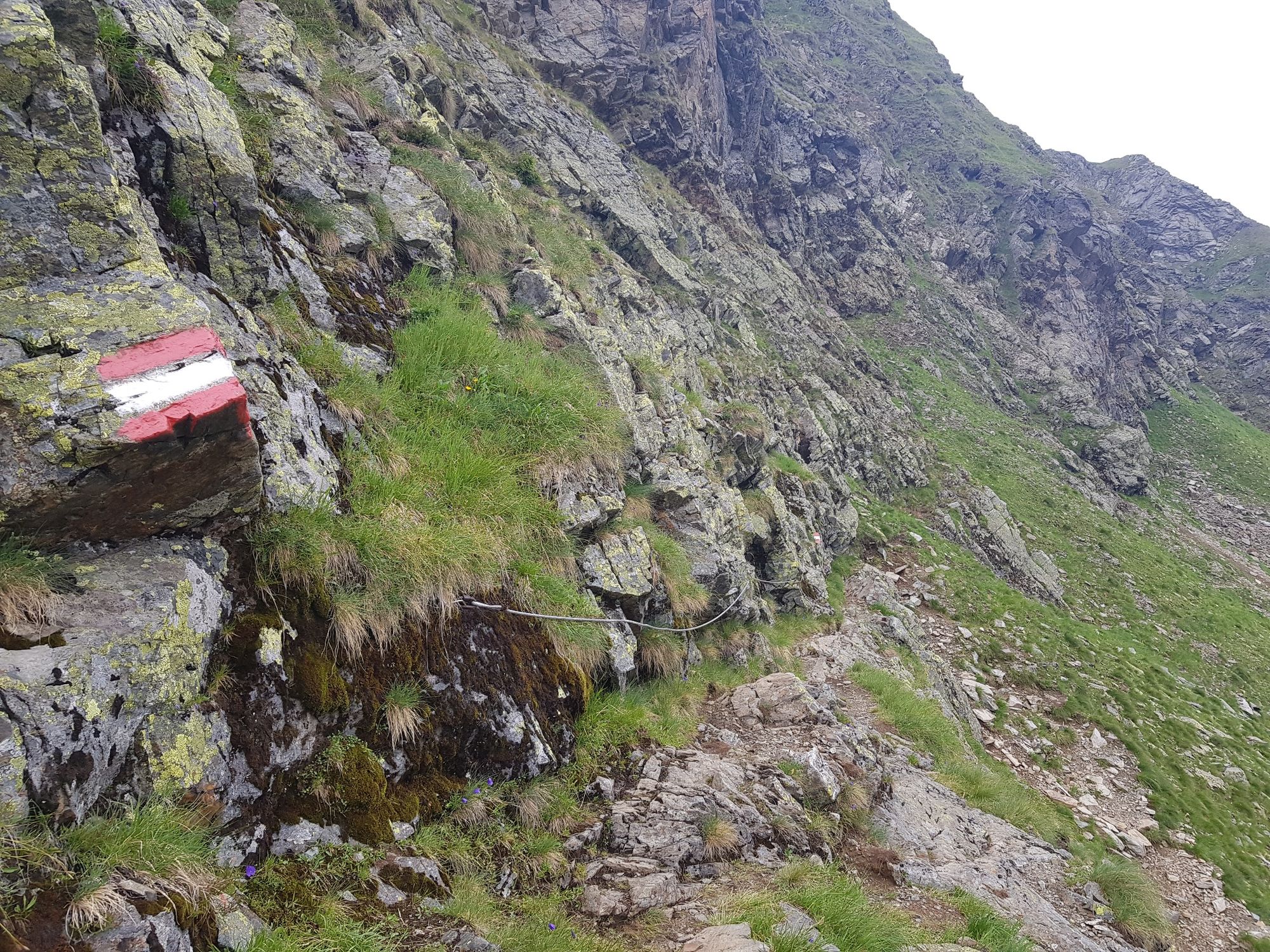
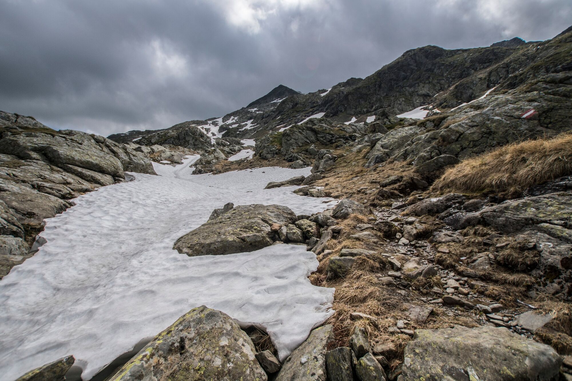
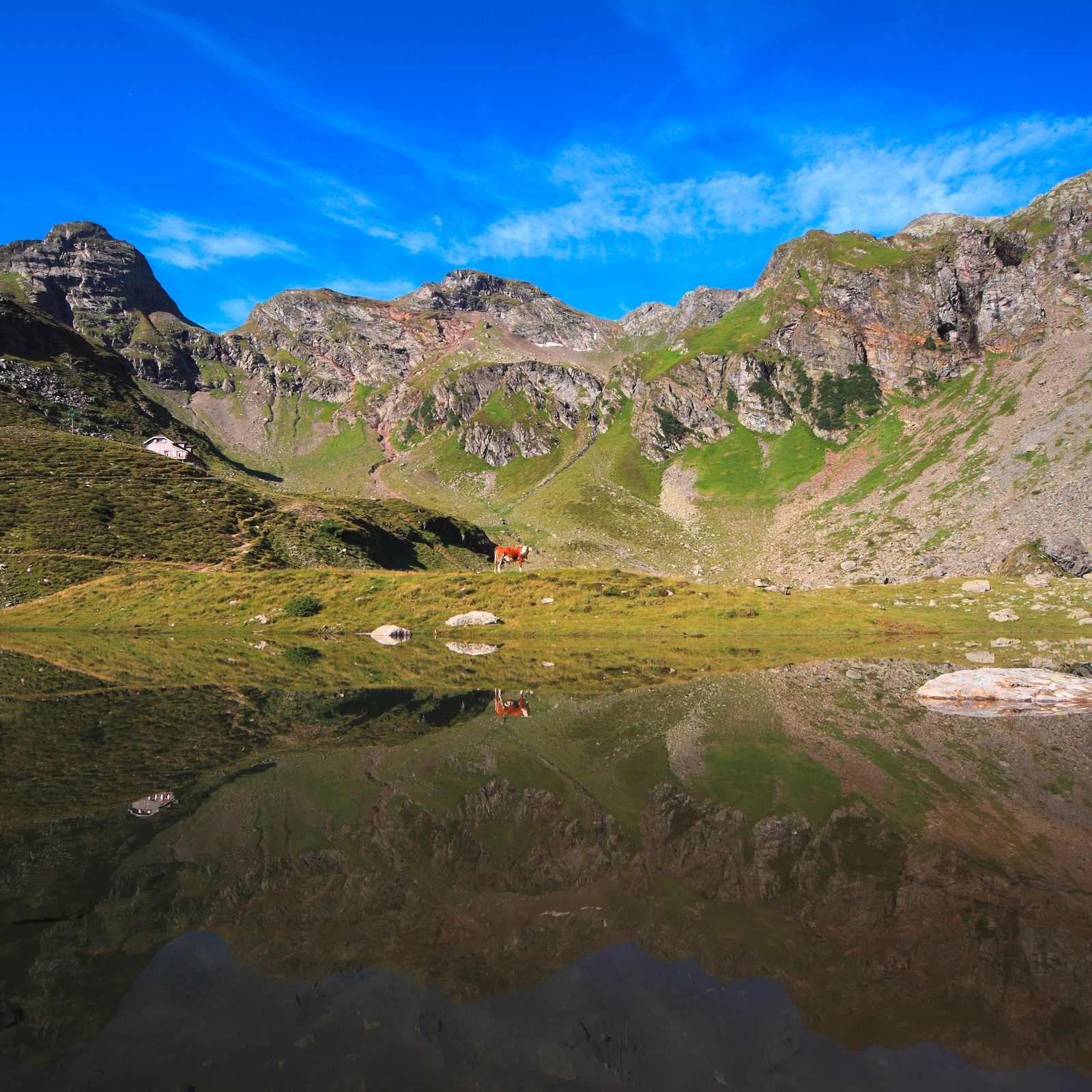
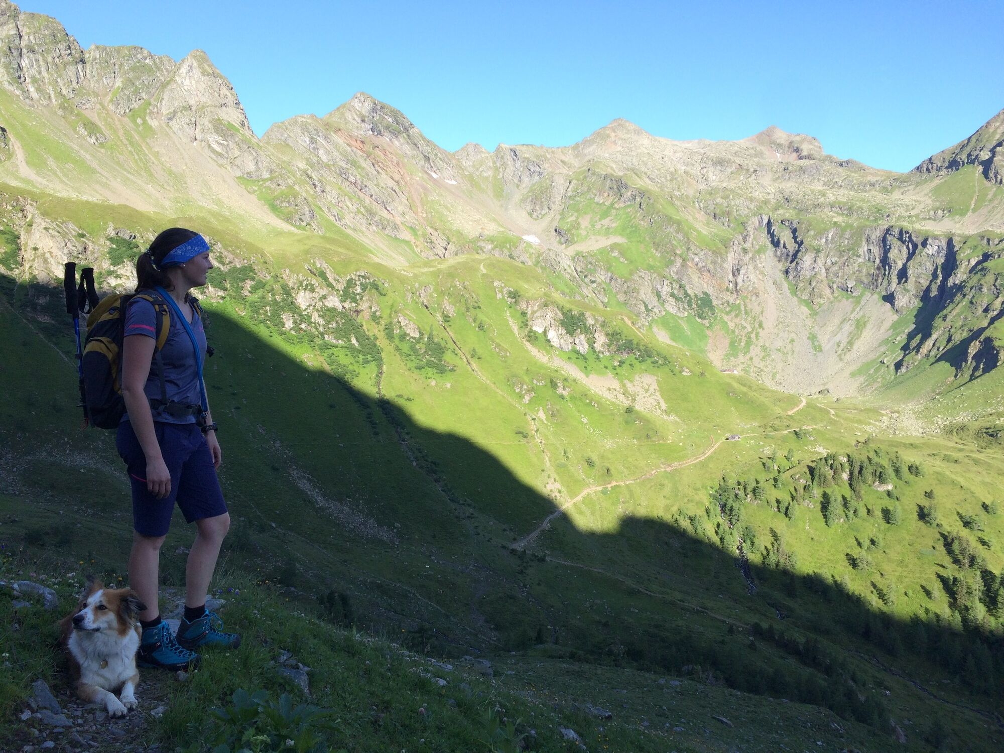
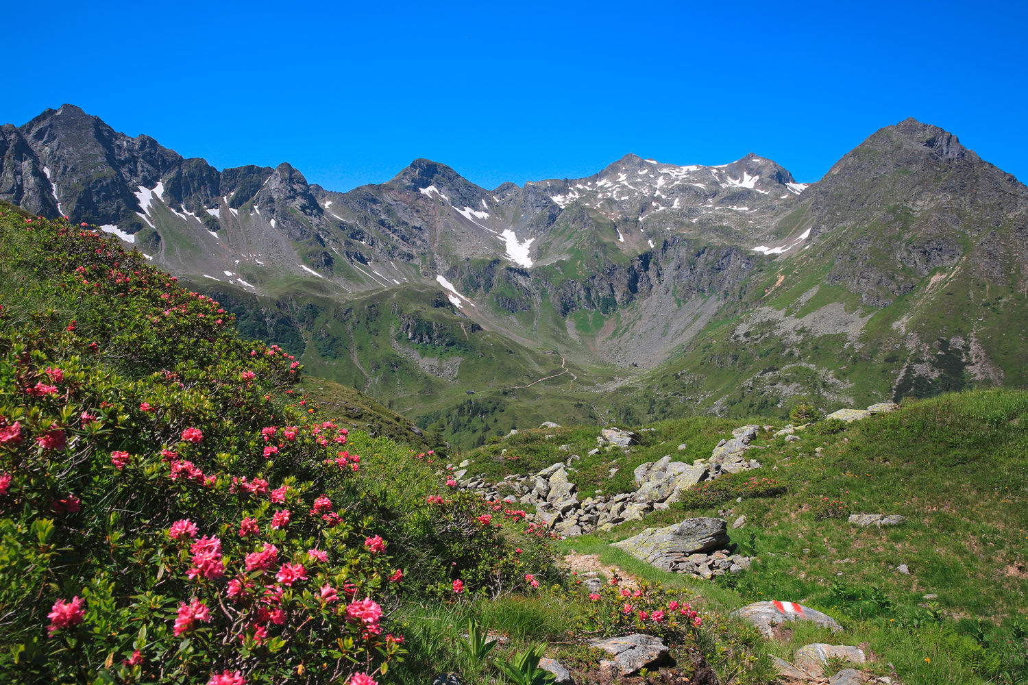
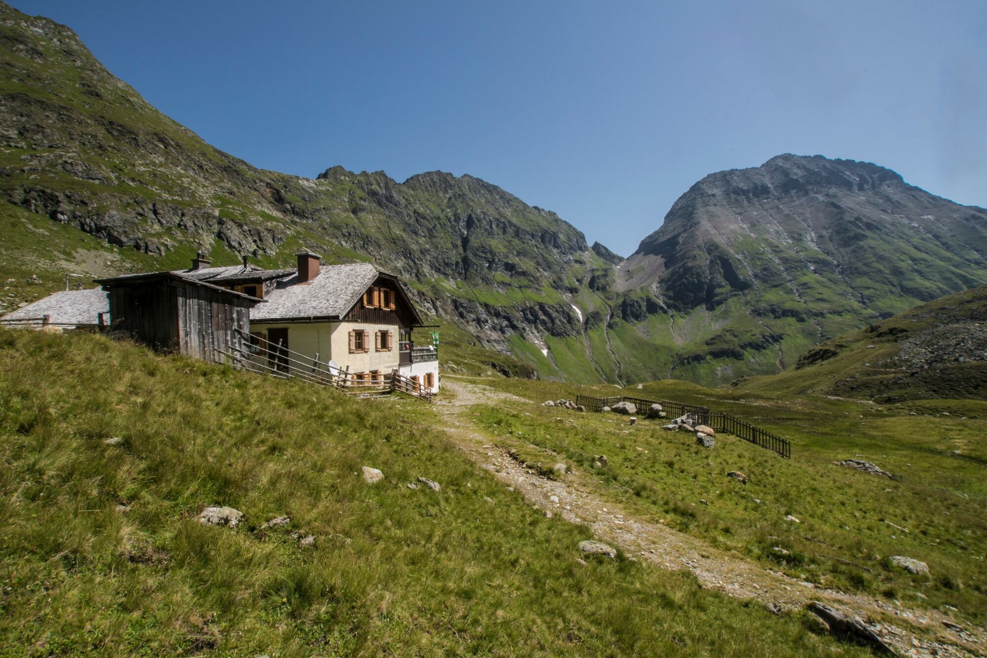
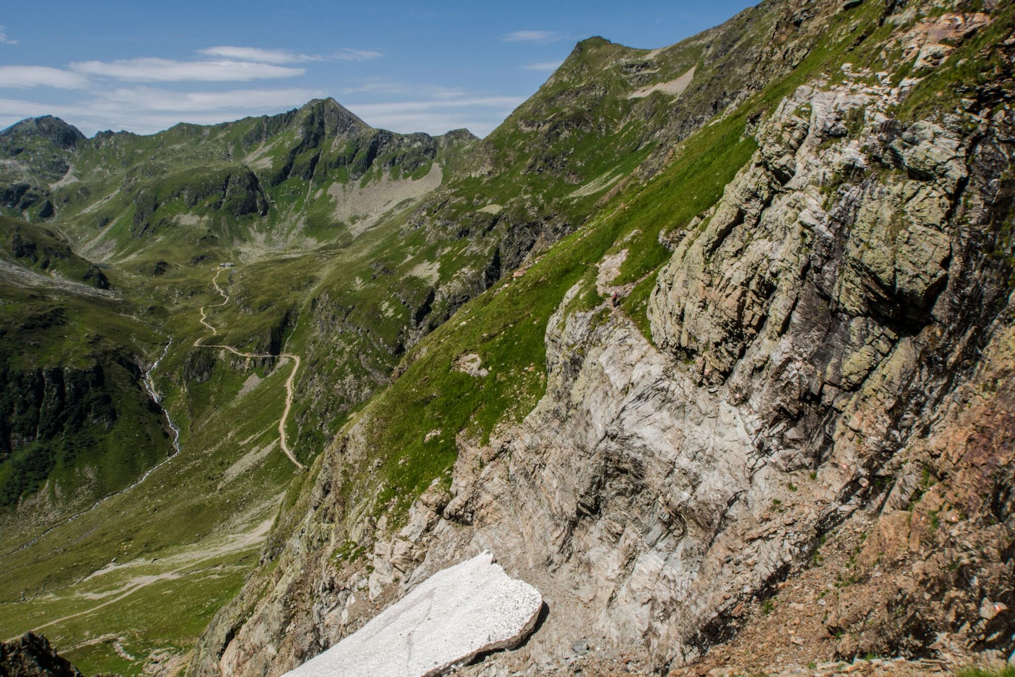
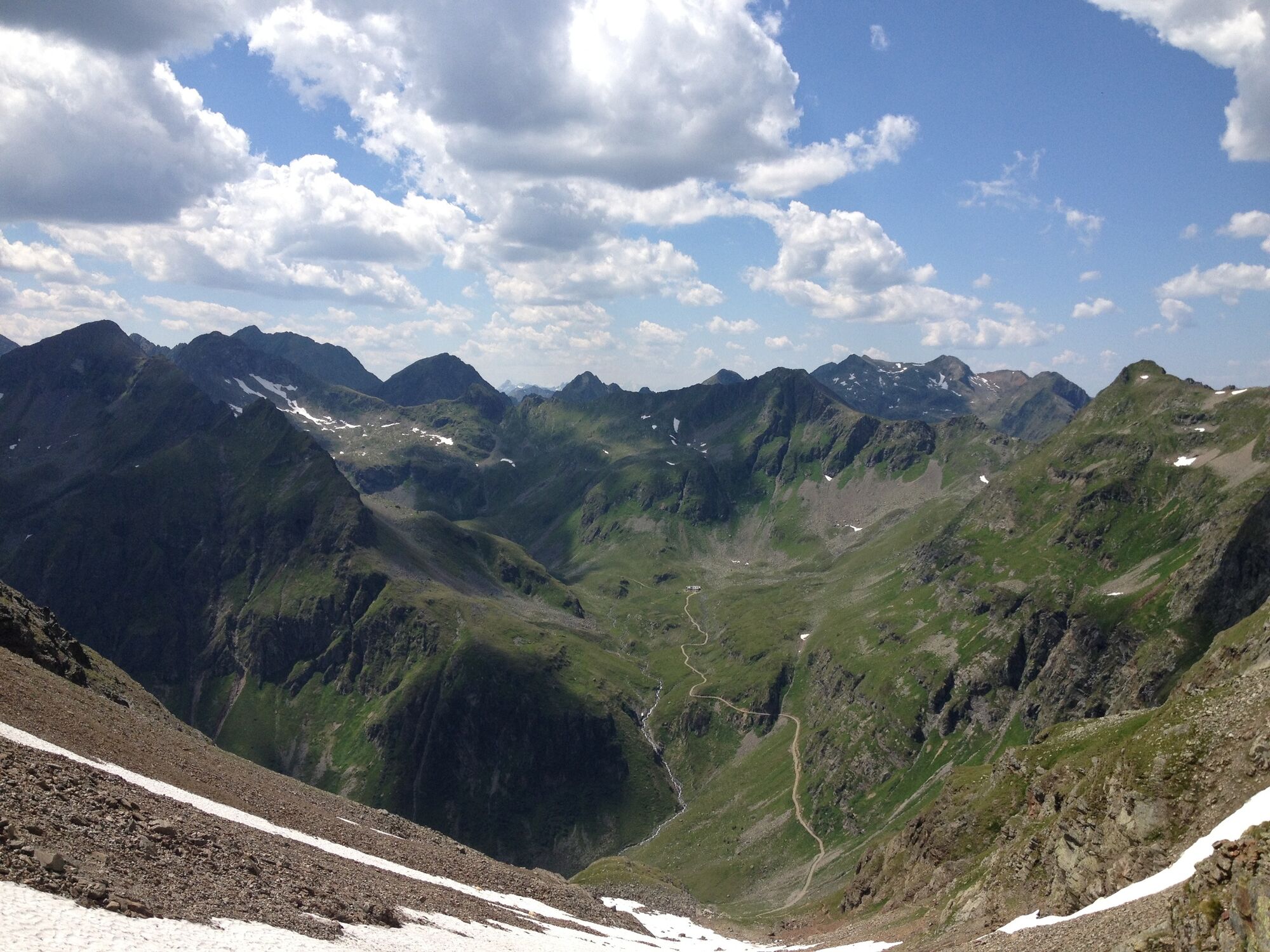
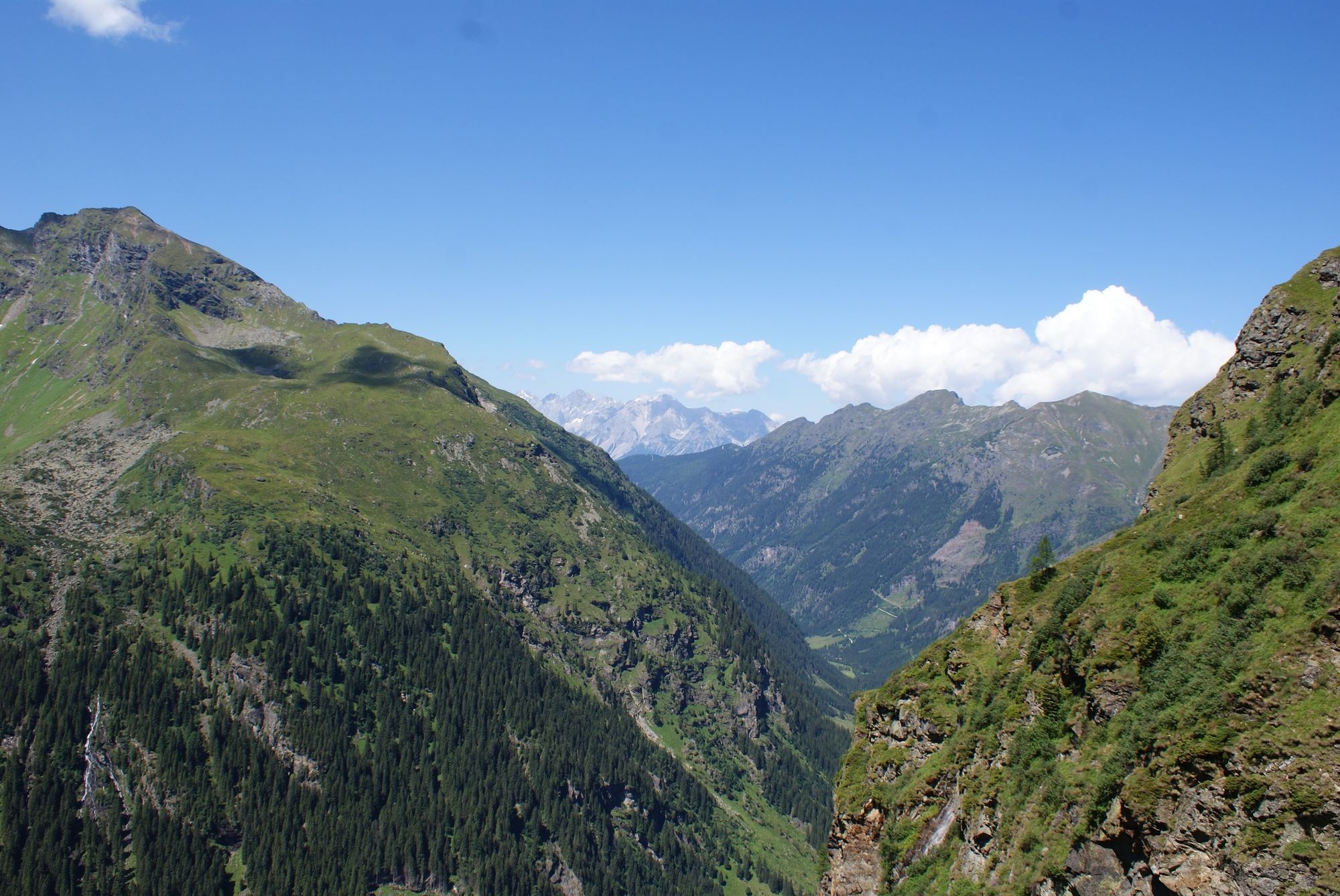
This tour is a multiple day hike through the Schladminger Tauern mountain range. and partially part of Central Alpine Trail 02, which traverses the entire Alpine region.
- Difficoltà
-
difficile
- Valutazione
-
- Percorso
-
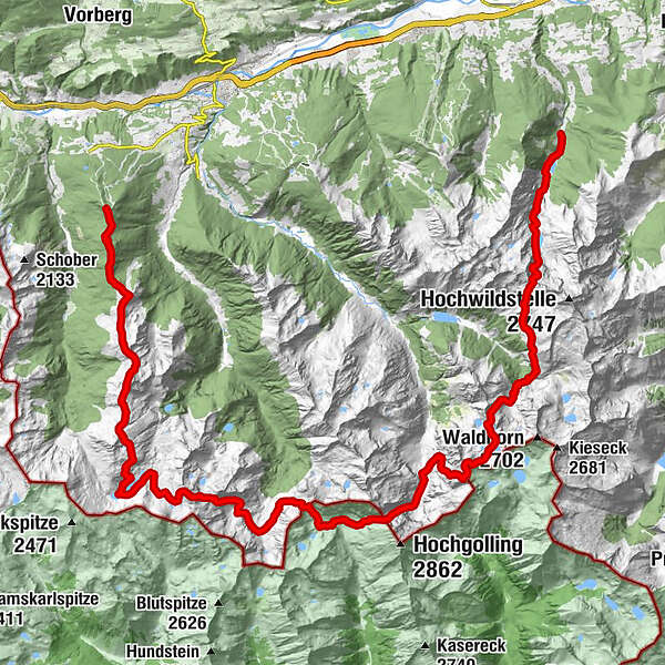
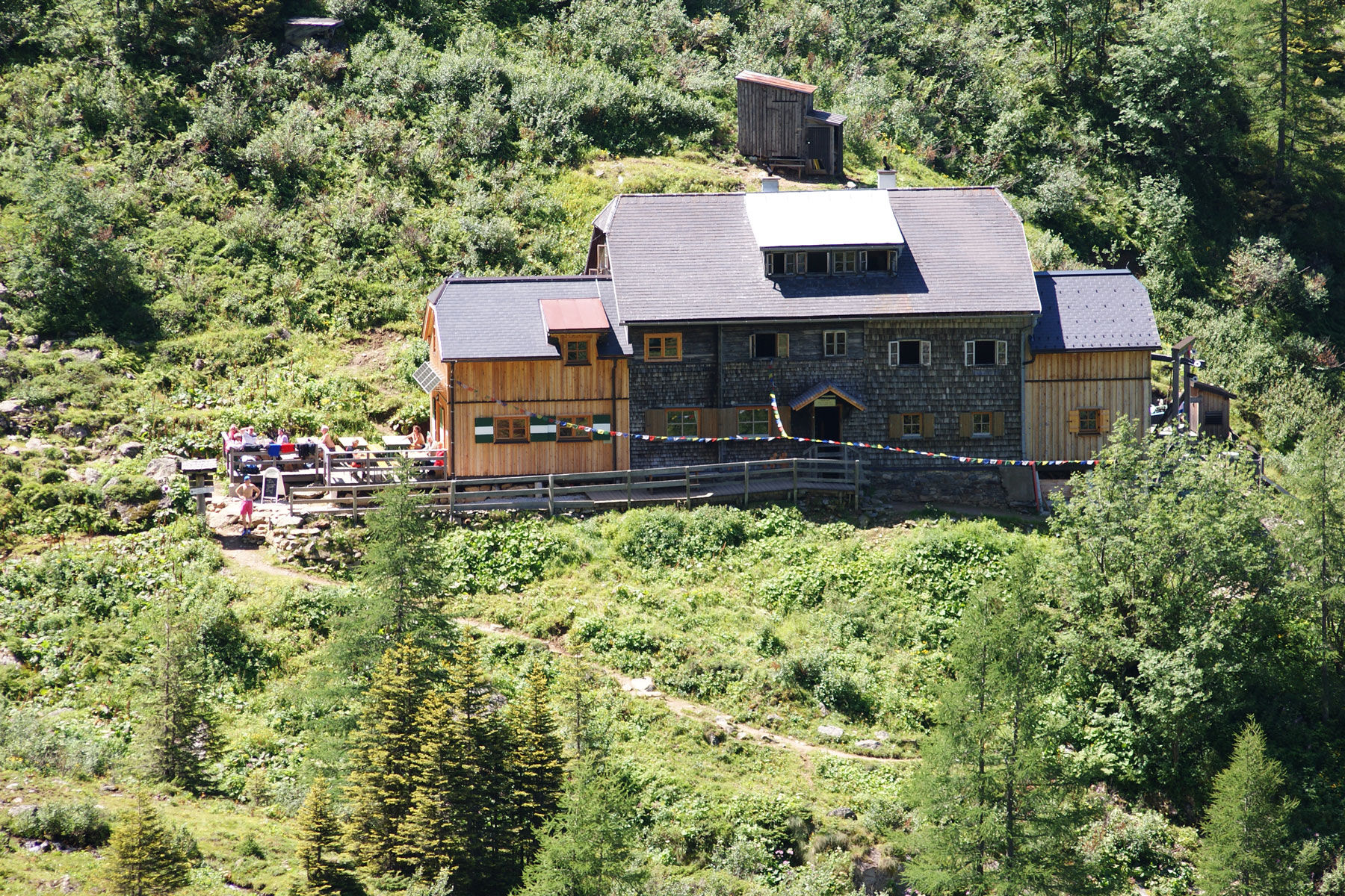
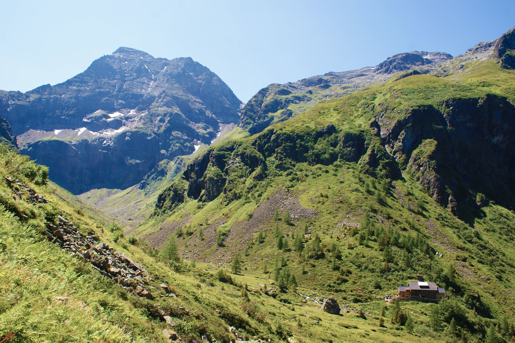
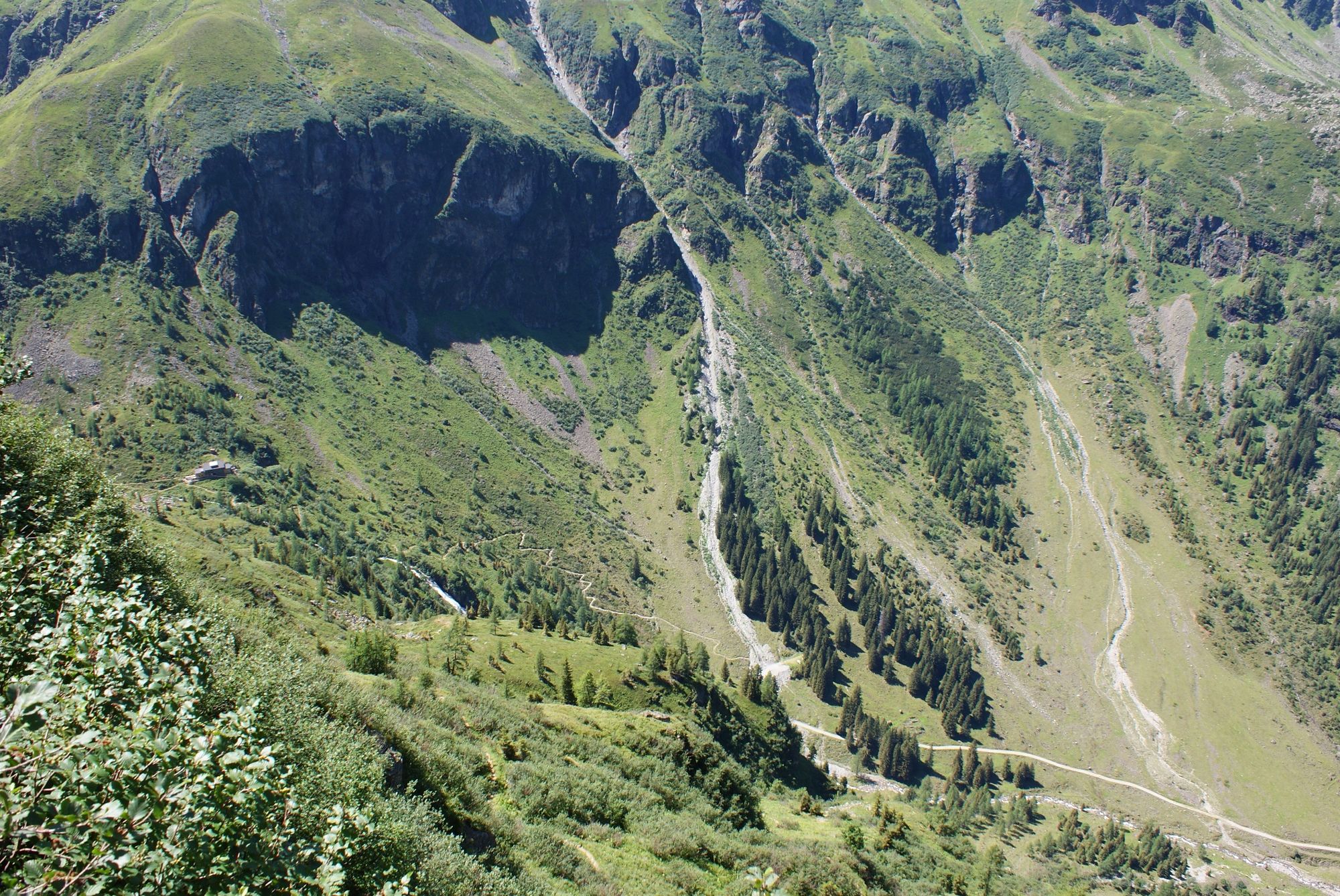
Hochwurzenhütte0,0 kmHochwurzen (1.849 m)0,0 kmHochwurzenalm0,1 kmKleine Hochwurzen (1.840 m)0,2 kmHüttecksattel (1.744 m)0,6 kmRoßfeld (1.919 m)1,5 kmLatterfußsattel2,3 kmGuschen (1.982 m)3,4 kmSchneider (2.009 m)3,9 kmIgnaz-Mattis-Hütte (1.986 m)10,5 kmRotmandlspitze (2.453 m)15,0 kmKeinprechthütte (1.872 m)17,4 kmLandawirseehütte21,8 kmGollingwinkel25,7 kmObere Steinwenderalm25,8 kmGollinghütte (1.642 m)26,6 kmGreifenberg (2.618 m)30,1 kmKlafferturm (2.536 m)30,3 kmKlafferkessel30,8 kmReislingscharte (2.313 m)31,3 kmÄußeres Lämmerkar33,6 kmPreintalerhütte (1.657 m)34,6 kmWaldhornalm34,6 kmSchleierwasserfall40,4 kmHans-Wödl Hütte (1.533 m)41,4 kmBodenseewasserfall42,0 kmForellenhof43,2 kmSeewigtalstüberl44,1 km
- La stagione migliore
-
genfebmaraprmaggiulugagosetottnovdic
- Punto più alto
- 2.598 m
- Destinazione
-
Seewigtal car park
- Profilo altimetrico
-


-

-
AutoreIl tour Schladminger Tauern High Trail | 5-days-tour è utilizzato da outdooractive.com fornito.
GPS Downloads


Info generali
Punto di ristoro
Culturale/Storico
Promettente
Altri tour nelle regioni
-
Schladming - Dachstein
3001
-
Schladming - Rohrmoos
1478
-
Schladming
467