© Erlebnisregion Schladming-Dachstein - Schladming Dachstein

© Erlebnisregion Schladming-Dachstein - Gerhard Pilz

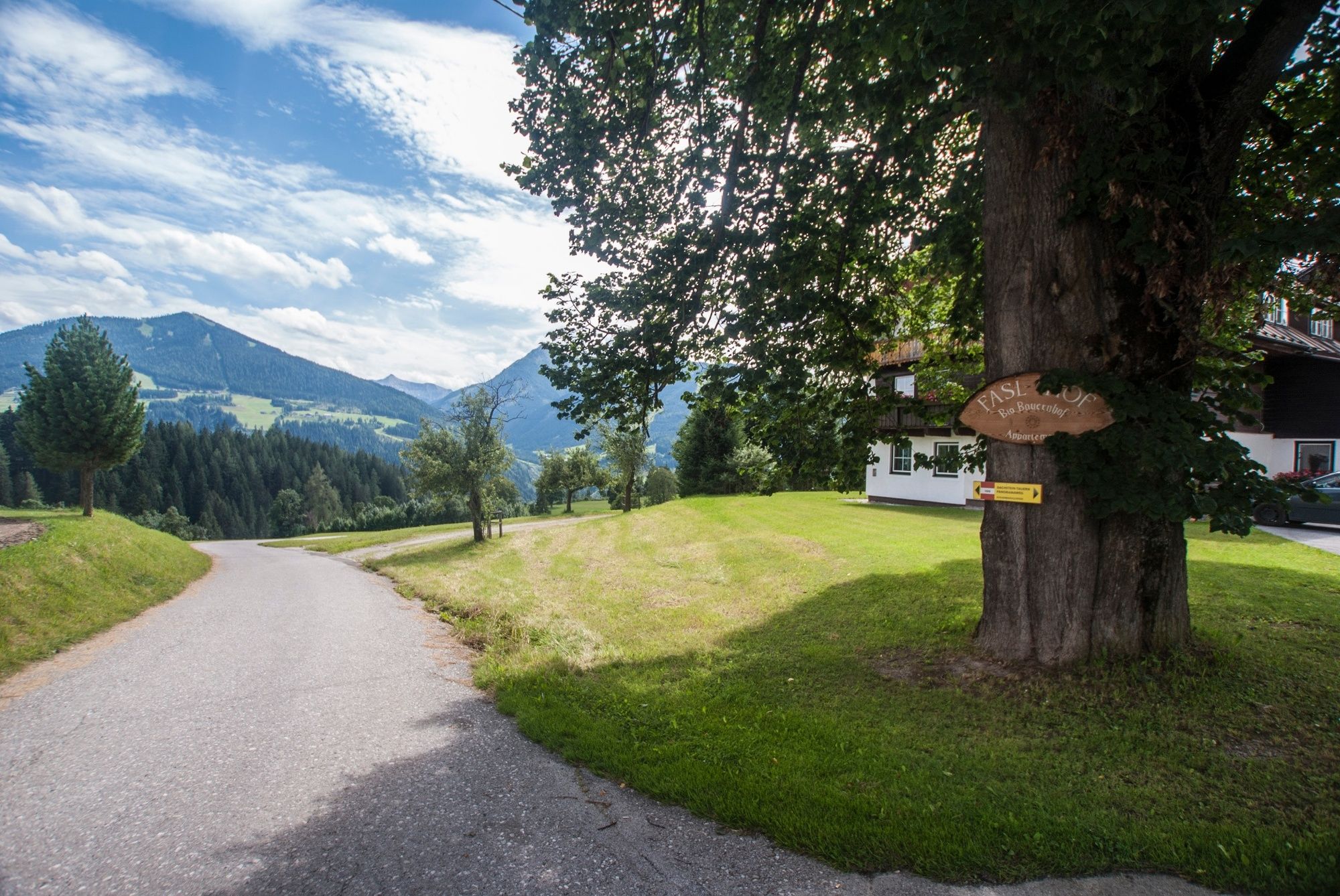
© Erlebnisregion Schladming-Dachstein - Gerhard Pilz

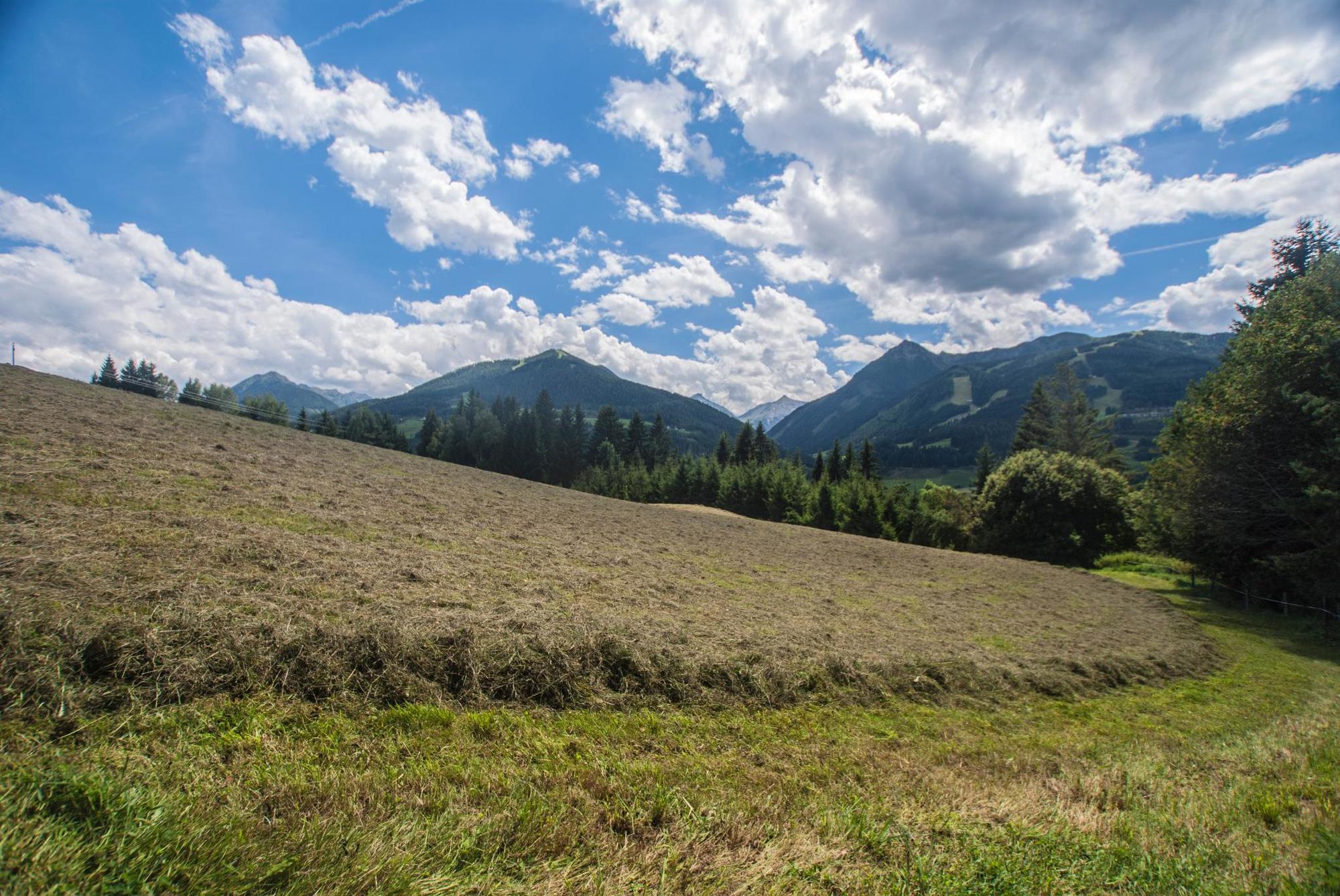
© Erlebnisregion Schladming-Dachstein - Gerhard Pilz

© Erlebnisregion Schladming-Dachstein - Schladming Dachstein

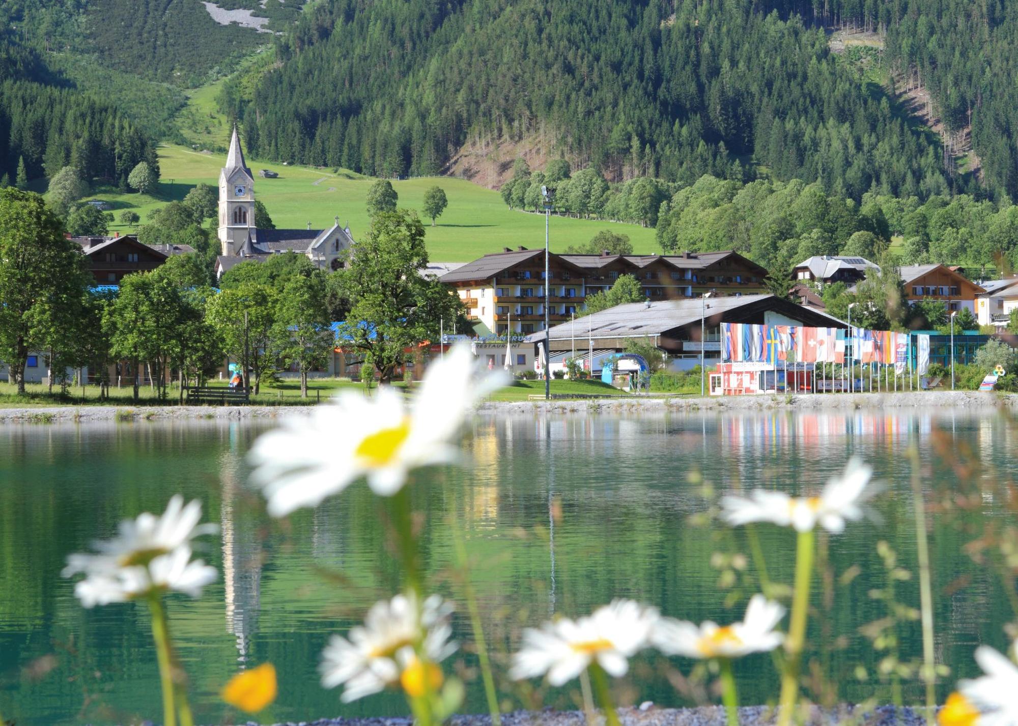
© Erlebnisregion Schladming-Dachstein - Martin Huber

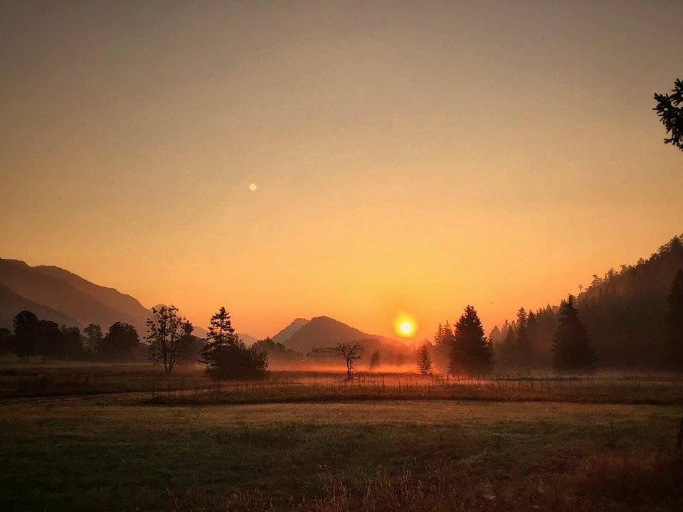
© Erlebnisregion Schladming-Dachstein - Melanie Schaumberger

© Erlebnisregion Schladming-Dachstein - Schladming Dachstein

- Descrizione rapida
-
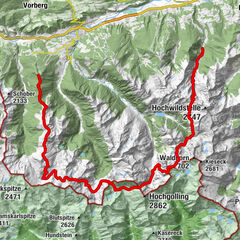
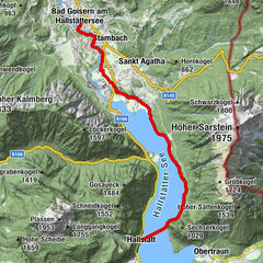
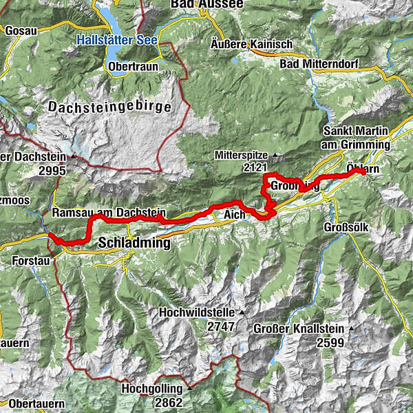
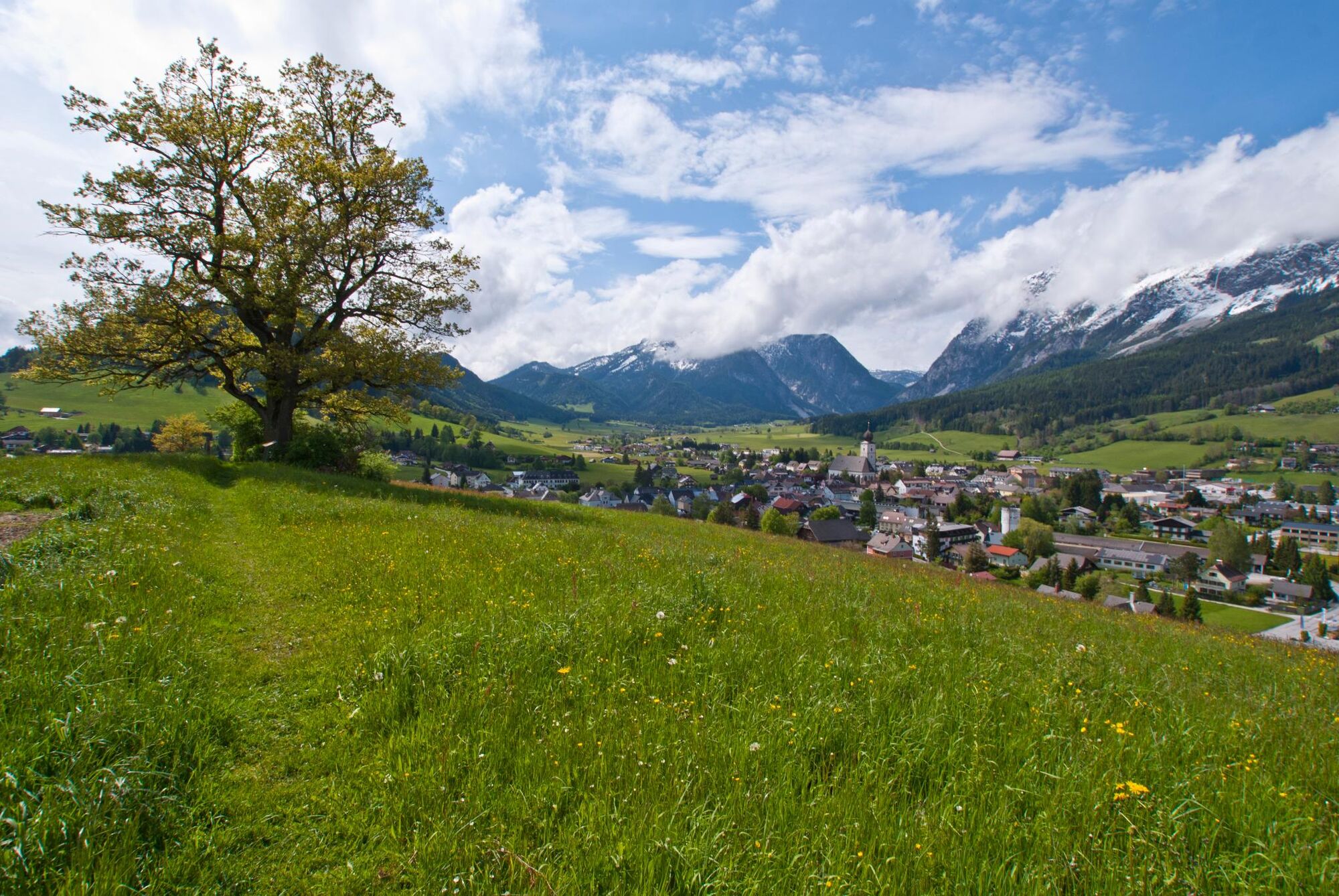
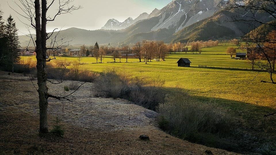
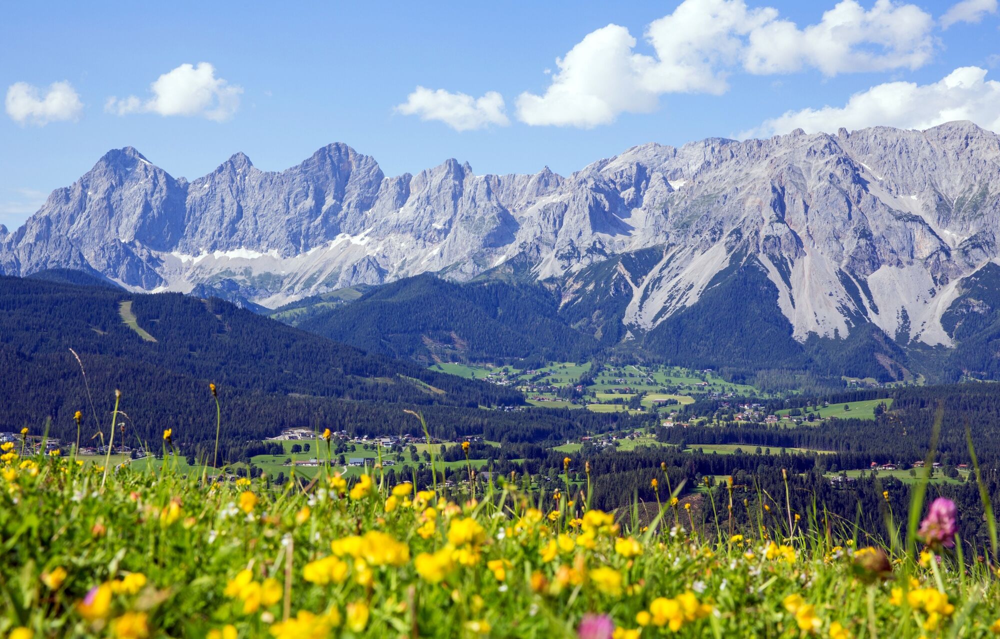
A hiking enjoyment pure is expecting you at the Panoramaweg 100. A loop hiking trail on the left or on the right-hand side of the Enns, with a length of 117 km and at an altitude from 700m to 1300m.
- Difficoltà
-
facile
- Valutazione
-
- Percorso
-
MandlingWarterdorf2,0 kmJausenplatzl Astlhof5,1 kmRamsau am Dachstein9,5 kmWaldschenke9,5 kmKulm11,4 kmSt. Rupert am Kulm11,4 kmSattelberghütte13,7 kmWeißenbach21,0 kmSonnberg23,2 kmAssach26,7 kmPfarrkirche St. Nikolaus26,7 kmPruggern30,1 kmHotel Pruggererhof30,2 kmKunagrün30,8 kmGröbmingeralm34,9 kmJausenstation Stodermaut35,2 kmWeyern36,8 kmHofmanning40,7 kmHäuserl im Wald44,8 kmGersdorfer Wald46,8 kmÖblarn49,6 km
- La stagione migliore
-
genfebmaraprmaggiulugagosetottnovdic
- Punto più alto
- 1.181 m
- Destinazione
-
Öblarn, Gasthof Stralz'n
- Profilo altimetrico
-


-

-
AutoreIl tour Panorama Trail 100 - stages north of the River Enns è utilizzato da outdooractive.com fornito.
GPS Downloads


Info generali
Punto di ristoro
Culturale/Storico
Promettente
Altri tour nelle regioni
-
Schladming - Dachstein
3000
-
Haus - Aich
1365
-
Aich
276