© TV Hochsteiermark - Steininger

© Unbekannt - Birgit Kandlbauer

© Oststeiermark Tourismus - TV Joglland-Waldheimat

© Tourismus Fischbach - Johann Zink

© ÖAV-Hüttenfinder - Sektion Wartberg/Stmk.

- Descrizione rapida
-
Stage 10a - at a glance:
Start: Rosegger Schutzhaus on the Pretul, Tel.: +43 3170 522, www.ratten.naturfreunde.at
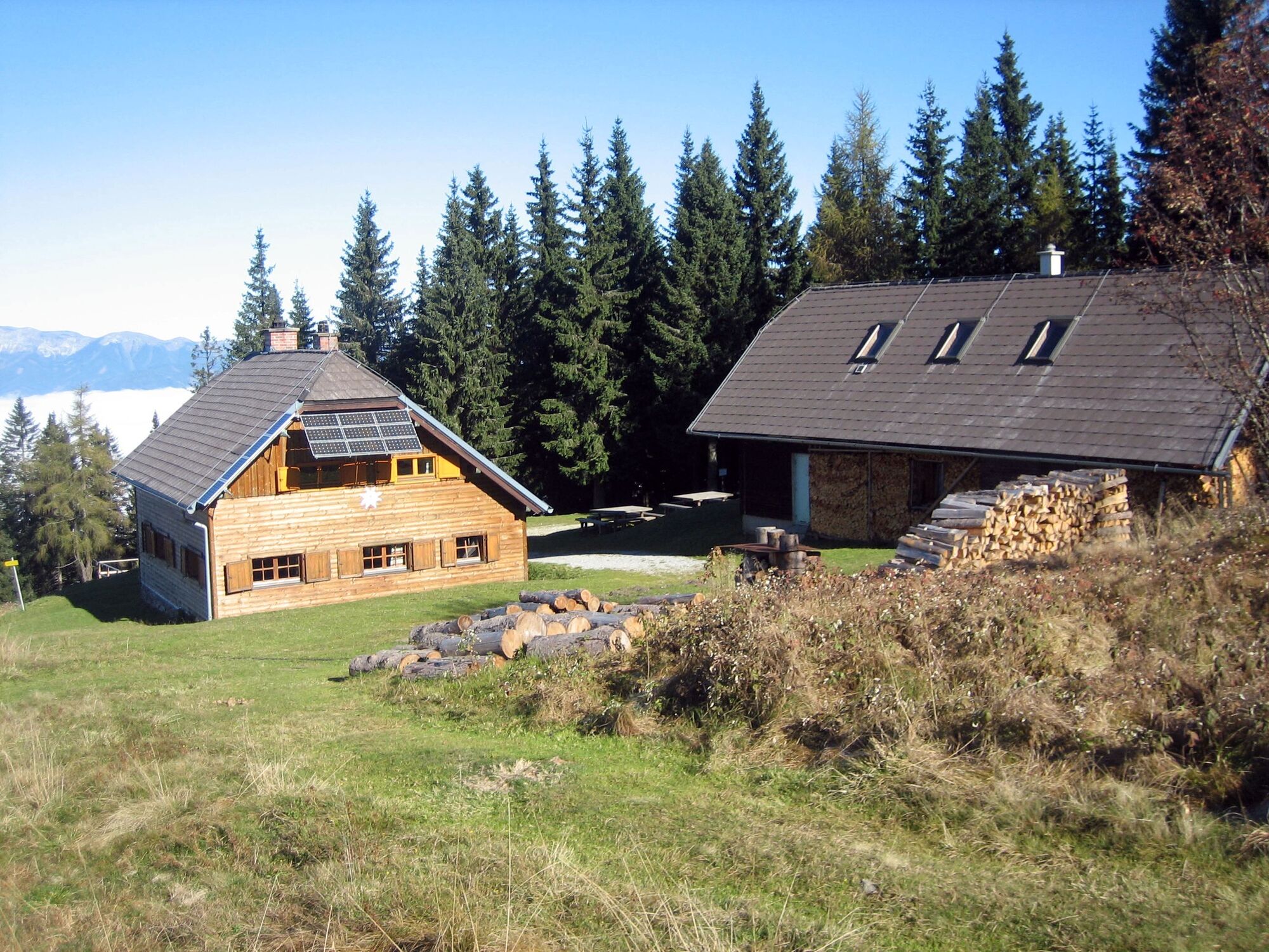
GPS grid N 47° 32' 46,0" E 15° 44' 22,8"Destination / overnight stop: Stanglalm Schutzhaus or L. Wittmaier Hütte (only open on weekends), Tel.: +43 664 / 3305950 (Schutzhaus) or +43 699 / 12287101 (Wittmaier Hütte, www.alpenverein.at/leopoldwittmaierhuette)GPS grid N 47° 29' 23,6" E 15° 32' 47,7" (shelter)
Stage length: 26.4 kilometers
Total walking time (without breaks): 8 hours
Meters of ascent: 900 meters of ascent
Meters of descent: 1,020 meters of ascent
Difficulties: very long, but otherwise easy hike.
- Difficoltà
-
intermedio
- Valutazione
-
- Percorso
-
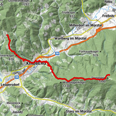
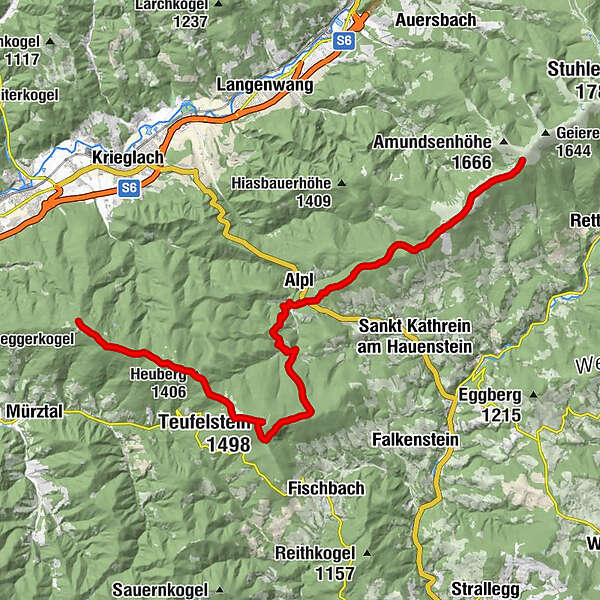
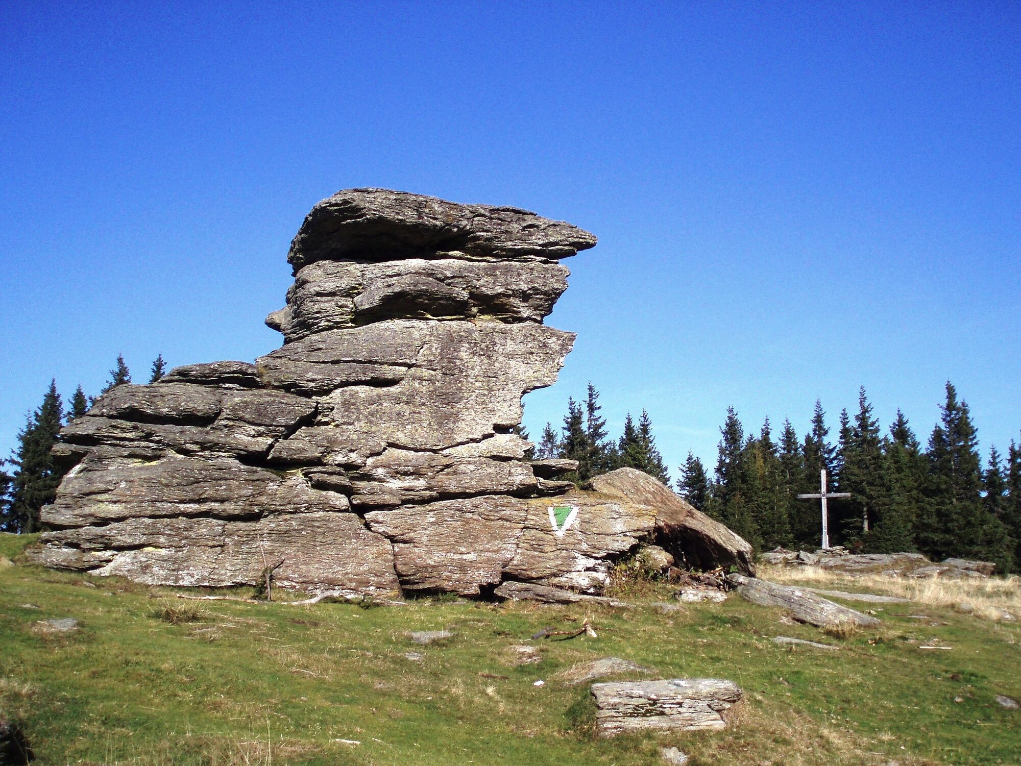
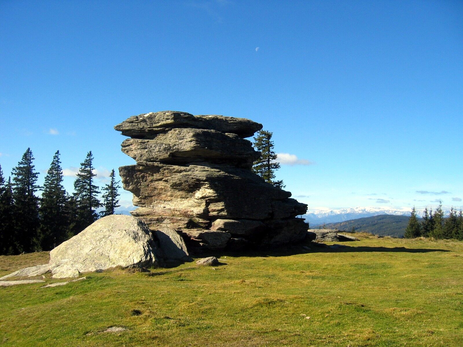
Roseggerhaus0,0 kmSteinriegel (1.577 m)1,8 kmHauereckschutzhütte4,8 kmHauereck (1.292 m)4,8 kmJäger Höhe (1.227 m)8,2 kmTeufelsteinhütte18,7 kmTeufelstein (1.498 m)19,4 kmHeuberg (1.406 m)22,6 kmStanglalm26,3 kmBerggasthof Stanglalm26,3 kmMaria am Wege26,3 km
- La stagione migliore
-
genfebmaraprmaggiulugagosetottnovdic
- Punto più alto
- 1.583 m
- Destinazione
-
Stanglalm
- Profilo altimetrico
-


-

-
AutoreIl tour Etappe 10a: BergZeitReise Pretul - Alpl - Stanglalm è utilizzato da outdooractive.com fornito.
GPS Downloads


Info generali
Punto di ristoro
Culturale/Storico
Promettente
Altri tour nelle regioni