© helmuterwinpeter - H.E.P.

© helmuterwinpeter - H.E.P.

© helmuterwinpeter - H.E.P.

© helmuterwinpeter - H.E.P.

© helmuterwinpeter - H.E.P.

© helmuterwinpeter - H.E.P.

© helmuterwinpeter - H.E.P.

© helmuterwinpeter - H.E.P.

© helmuterwinpeter - H.E.P.

© helmuterwinpeter - H.E.P.
Dati percorsi
10,16km
491
- 604m
172hm
173hm
02:32h
- Descrizione rapida
-
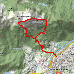
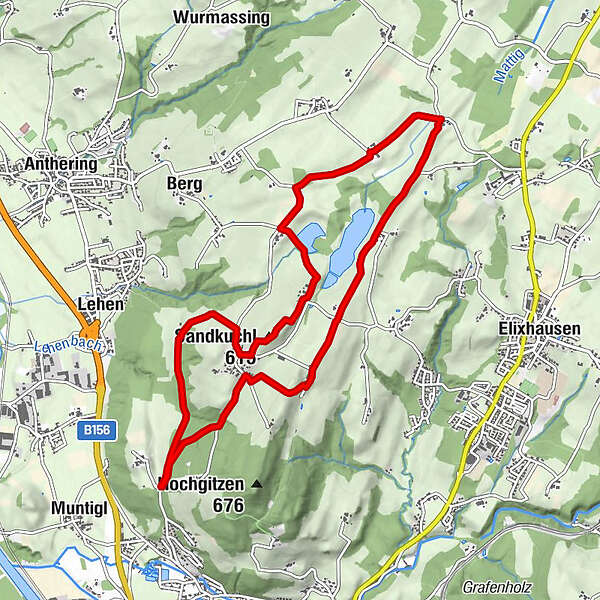
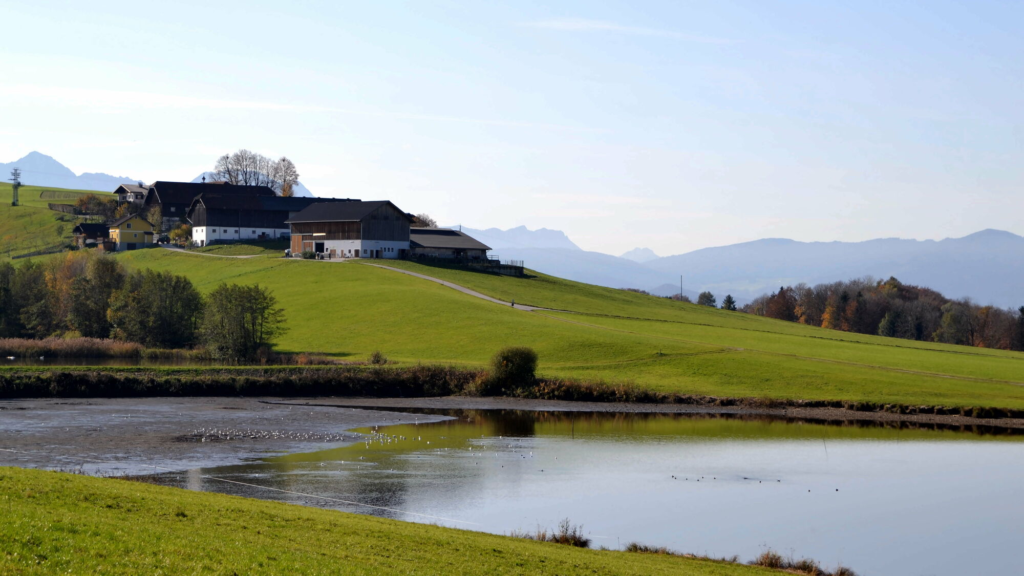
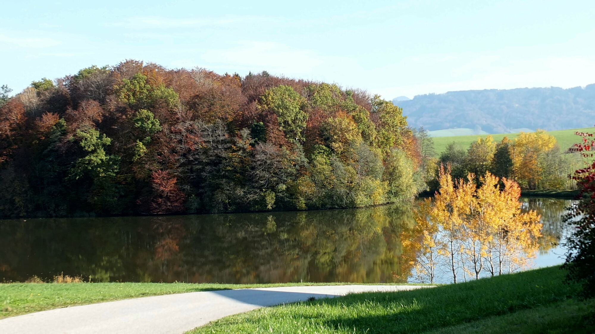
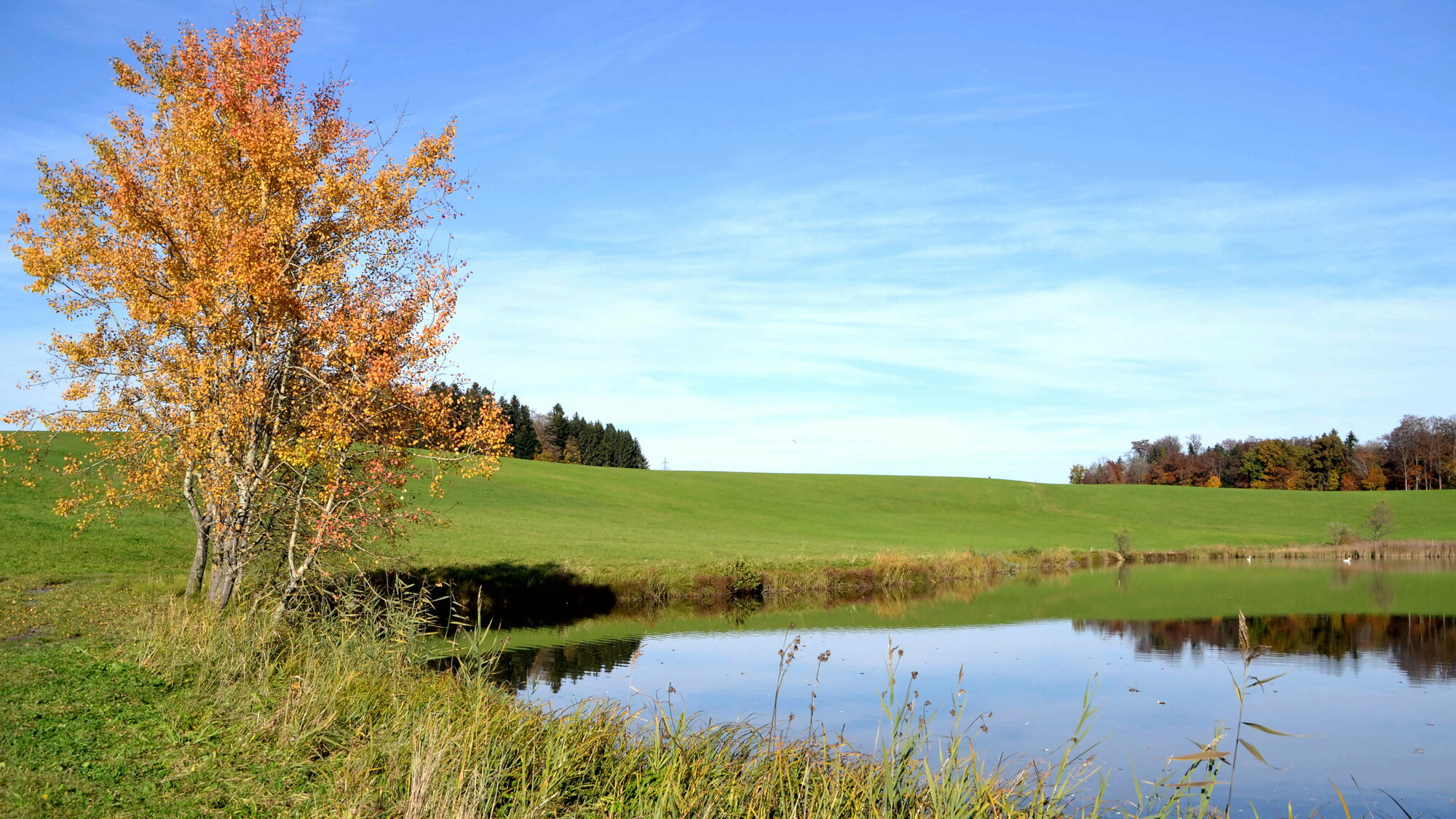
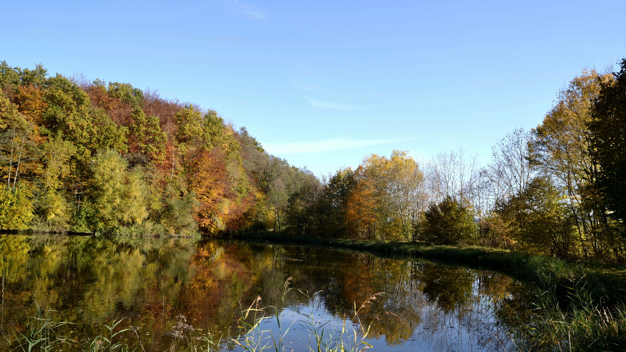
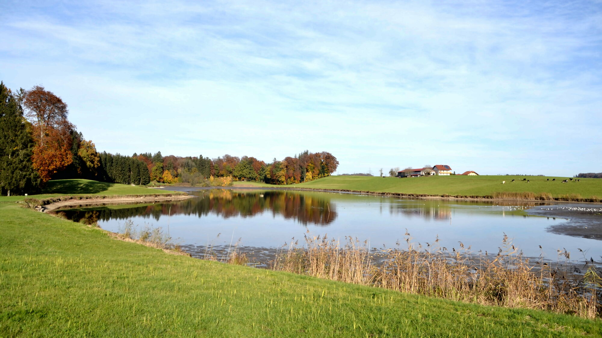
Von Kerath über Voggenberg bis Hained und um den Ragginger und den Luginger See zurück nach Kerath
- Difficoltà
-
facile
- Valutazione
-
- Punto di partenza
-
Kerathteich
- Percorso
-
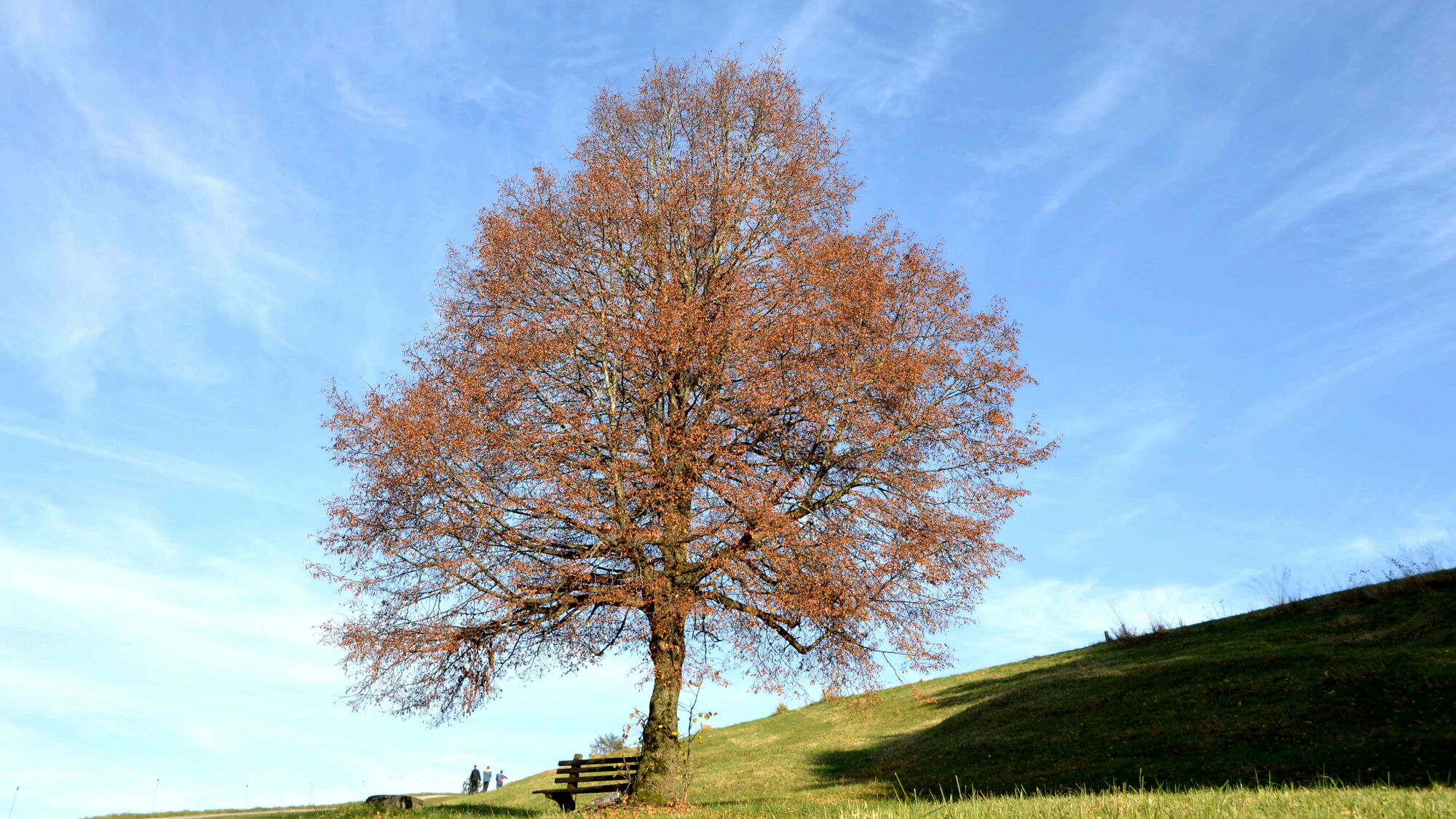
Voggenberg1,2 kmRagging3,3 kmHained4,3 kmGaspading4,9 kmReitbach6,4 kmWinding7,1 kmLandgasthaus Windinggut7,1 kmSandkuchl (588 m)7,6 kmVoggenberg7,9 kmHolzbauer8,7 kmHolzbauerkapelle8,7 km
- La stagione migliore
-
genfebmaraprmaggiulugagosetottnovdic
- Punto più alto
- 604 m
- Destinazione
-
Kerathteich


- Fonte
- helmuterwinpeter
GPS Downloads


Condizioni dei sentieri
Asfalto
Ghiaia
Prato
Foresta
Roccia
Esposta
Altri tour nelle regioni
-
Stadt Salzburg & Umgebung
1488
-
Anthering
271