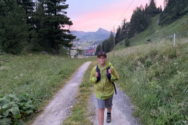
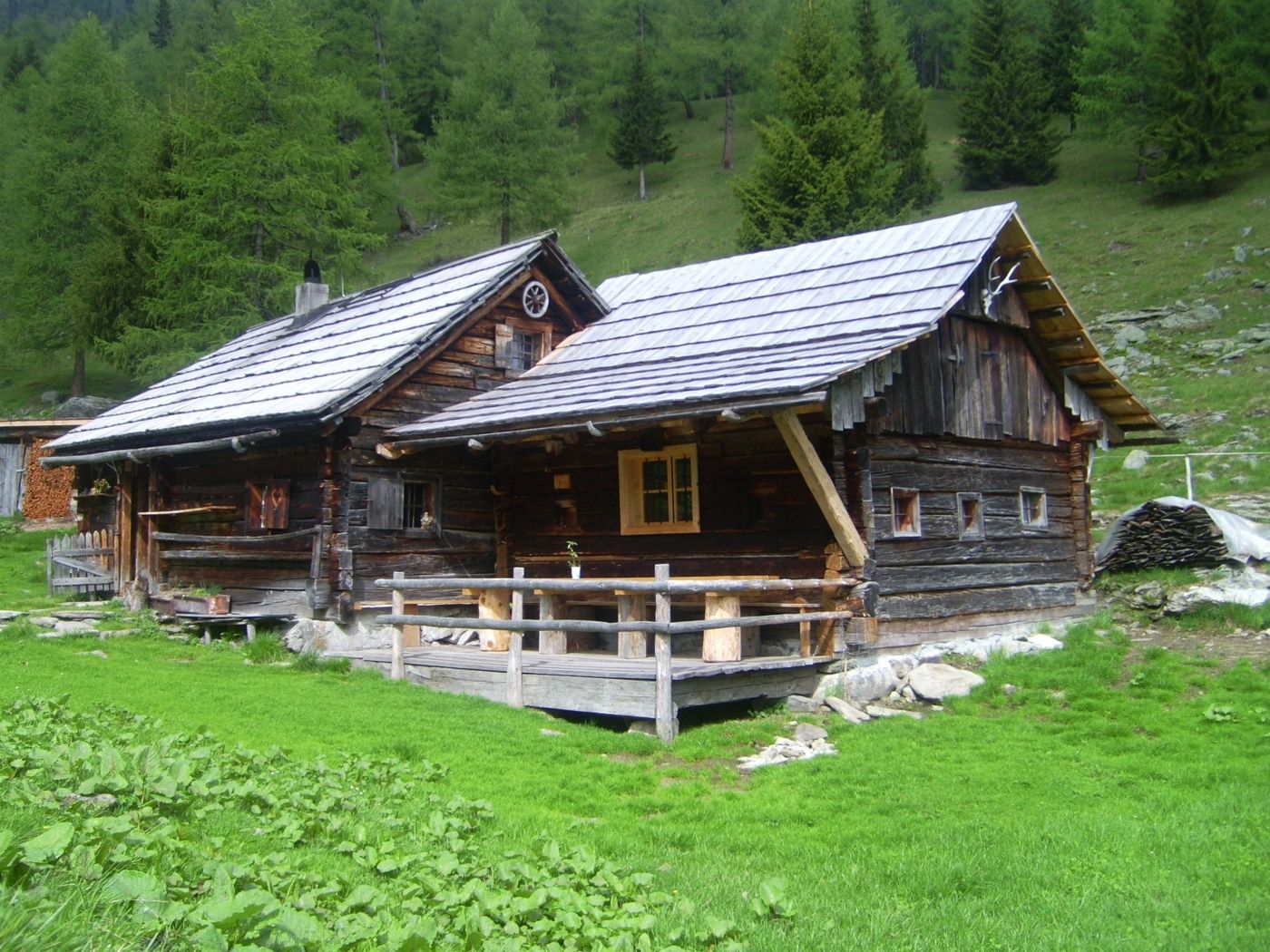
Stöcklalm/ Lungau (1.755 m) von der Pritzalm

Escursionismo
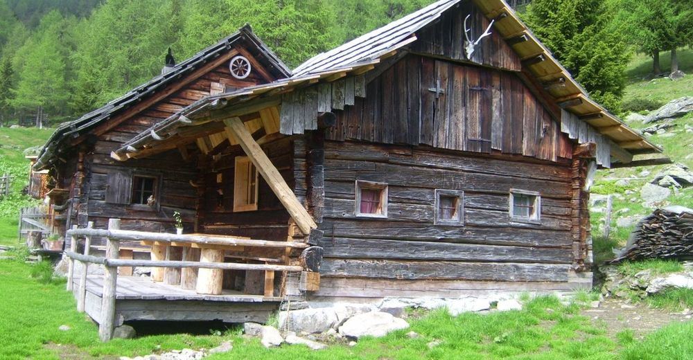
© Familie Sampl
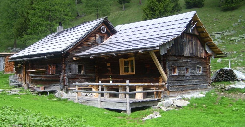
© Familie Sampl

© Familie Sampl
Dati percorsi
6,02km
1.726
- 1.831m
377hm
377hm
05:00h
- Difficoltà
-
facile
- Valutazione
-
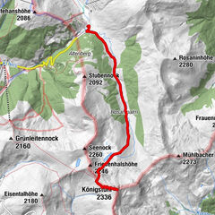
- Punto di partenza
-
Parkplatz hinter dem Gasthof Bacher
- Percorso
-
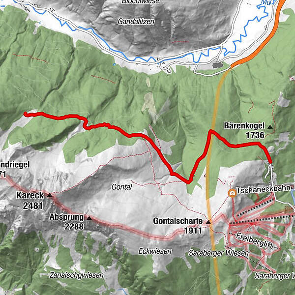
Pritzhütte2,1 kmDoktoralm4,2 kmWengeralm (1.767 m)4,7 kmStöcklalm5,9 km
- La stagione migliore
-
genfebmaraprmaggiulugagosetottnovdic
- Punto più alto
- 1.831 m
- Riposo/Ritiro
-
Gasthof Bacher, Pritzhütte, Stöcklalm


GPS Downloads


Condizioni dei sentieri
Asfalto
Ghiaia
Prato
Foresta
Roccia
Esposta
Altri tour nelle regioni