© Bettina Van der Vaart
Dati percorsi
4,38km
1.193
- 1.274m
82hm
03:00h
- Valutazione
-
- Punto di partenza
-
Parkplatz vor der Mautstelle (wäre 4 Euro Münzmaut)
- Percorso
-
Asendlalm3,1 kmLenznhütte4,2 km
- Punto più alto
- 1.274 m
- Riposo/Ritiro
-
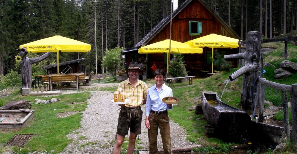
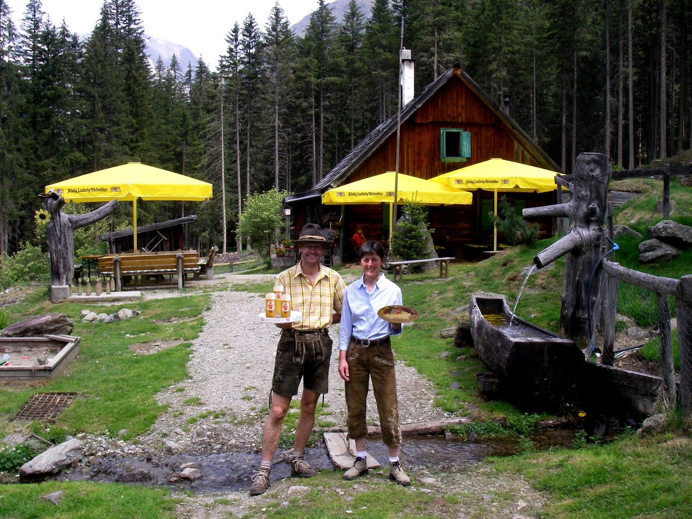
Lenzenalm
GPS Downloads


Condizioni dei sentieri
Asfalto
Ghiaia
Prato
Foresta
Roccia
Esposta
Altri tour nelle regioni
-
Schladming - Dachstein
3001
-
Lungau - Ferienregion
871
-
Lessach
181