

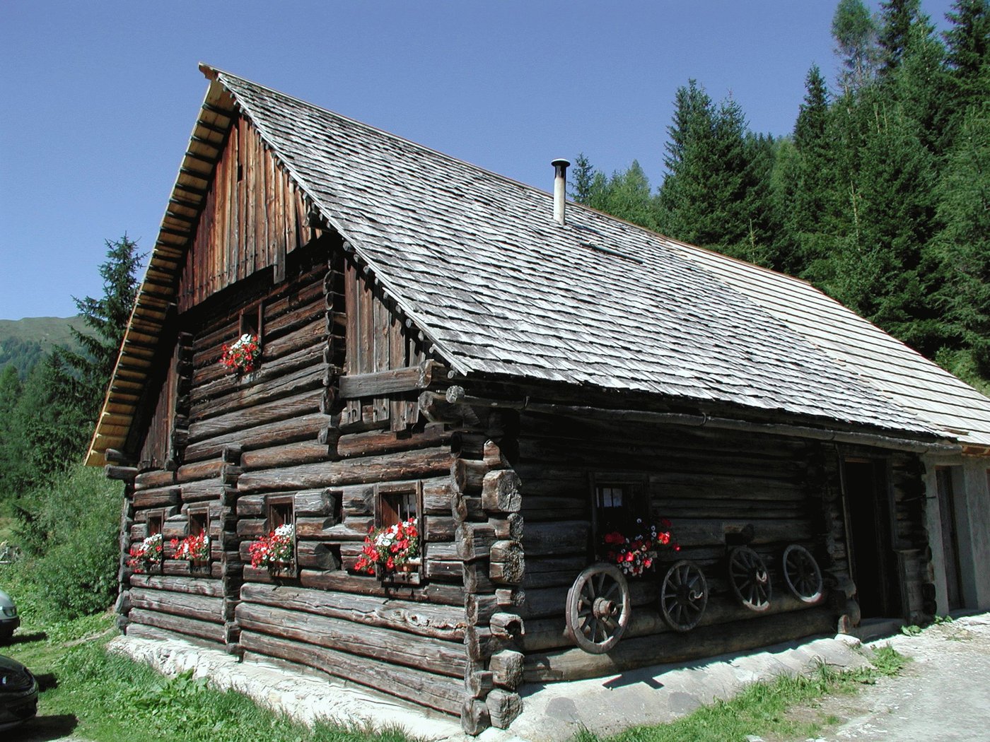
© Foto Privat
Dati percorsi
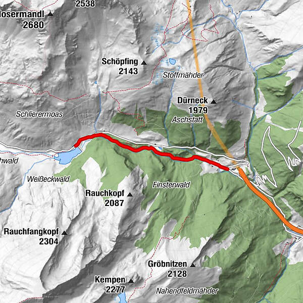
2,89km
1.352
- 1.492m
116hm
116hm
02:00h
- Difficoltà
-
facile
- Valutazione
-
- Punto di partenza
-
Parkplatz Tauerntunnel Südportal (1.345 m).
- Percorso
-
WaldBrünnwandquellen1,8 kmBrünnwandquellen1,9 kmSchliereralm2,9 km
- La stagione migliore
-
genfebmaraprmaggiulugagosetottnovdic
- Punto più alto
- 1.492 m
- Riposo/Ritiro
-
Almgasthof Schliereralm
GPS Downloads


Condizioni dei sentieri
Asfalto
Ghiaia
Prato
Foresta
Roccia
Esposta
Altri tour nelle regioni
-
Katschberg Lieser-Maltatal
2554
-
Obertauern
1639
-
Zederhaus
278


