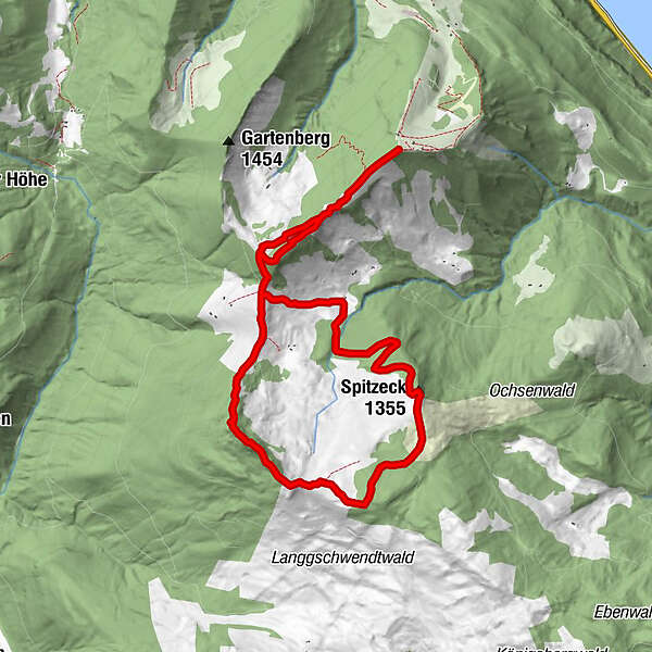
Dati percorsi
9,89km
1.198
- 1.485m
465hm
456hm
04:00h
- Descrizione rapida
-
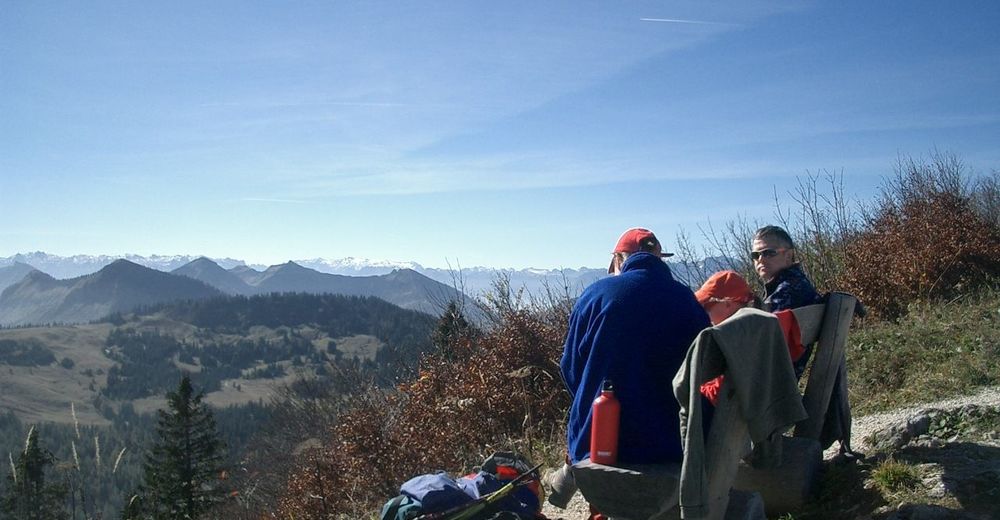
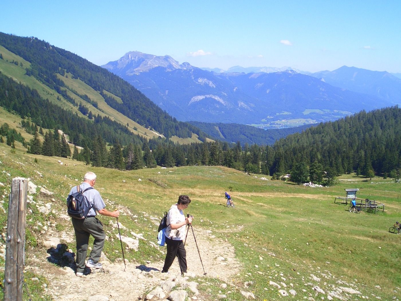
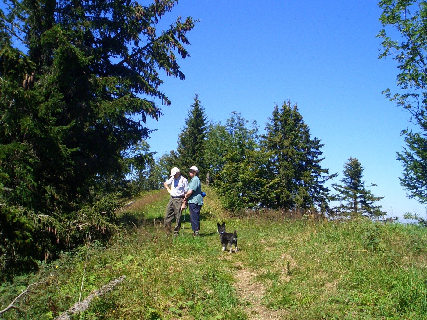
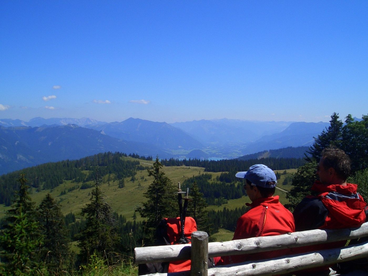
Einzigartig Almrunde!
- Difficoltà
-
intermedio
- Valutazione
-
- Percorso
-
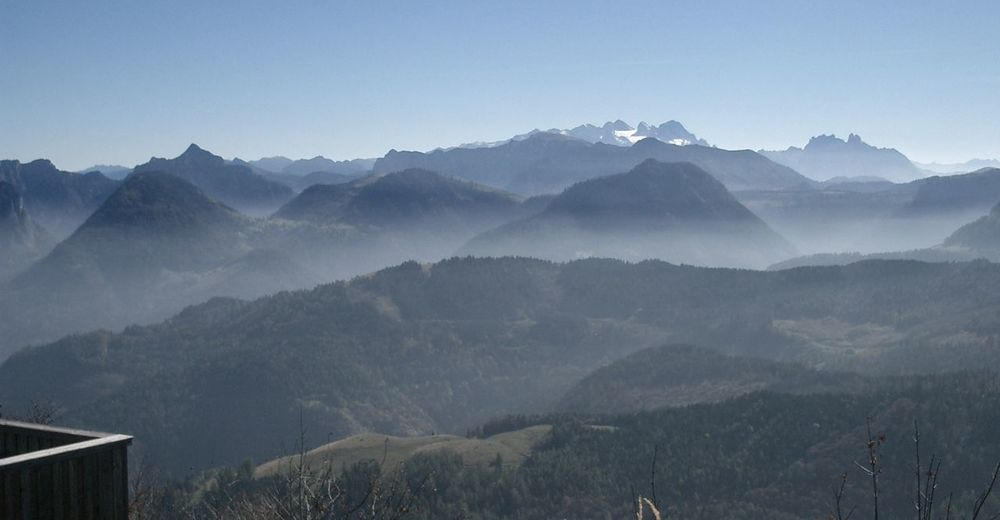
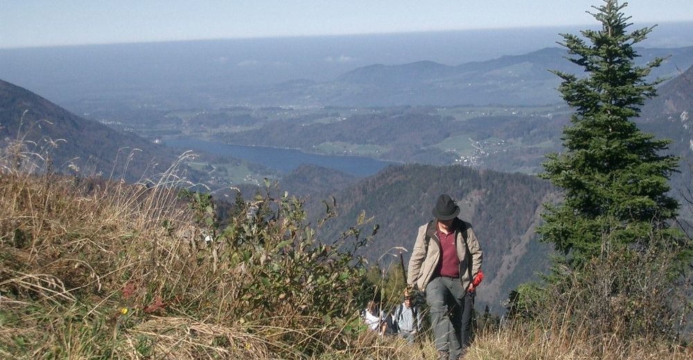
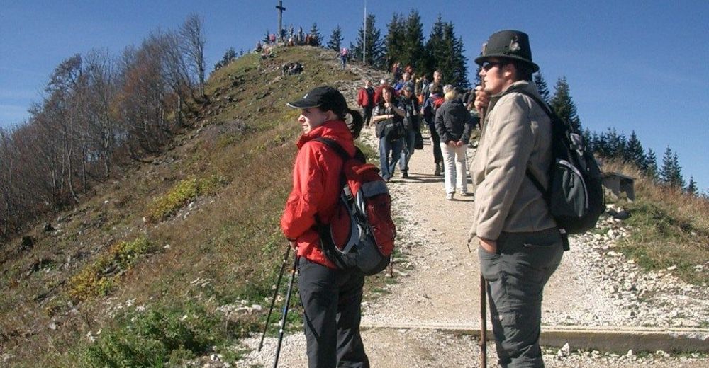
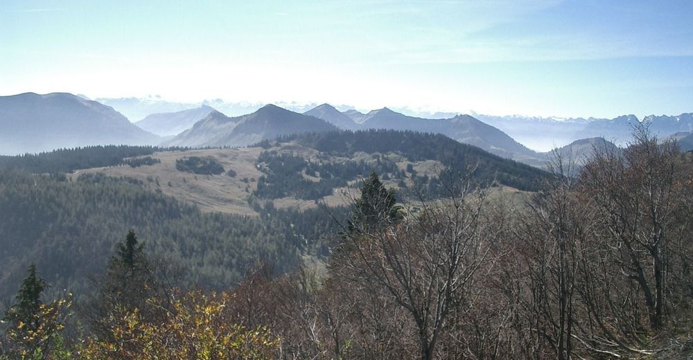
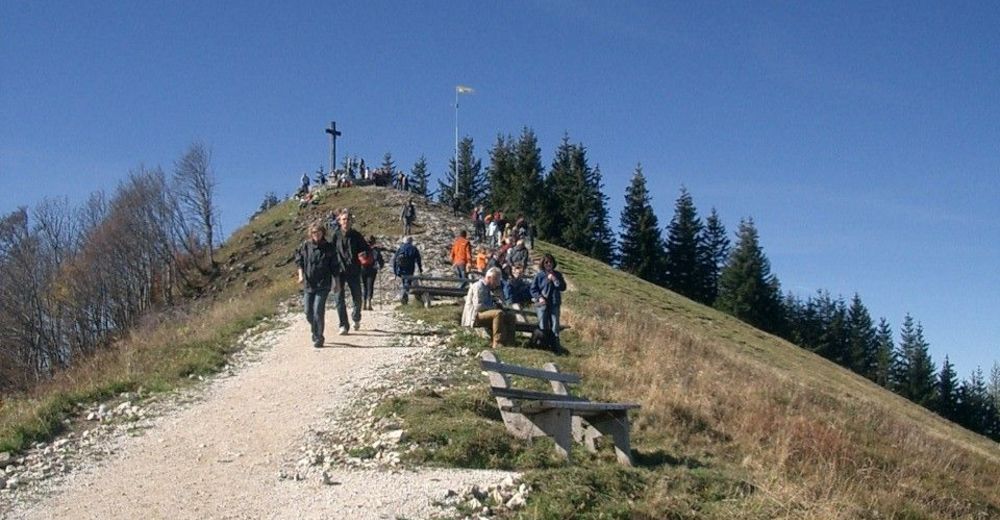
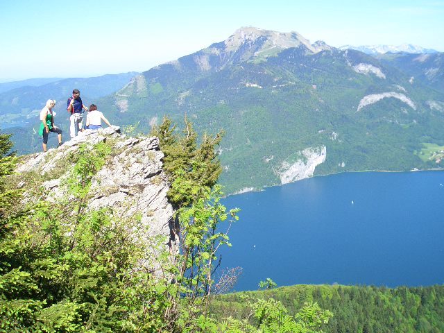
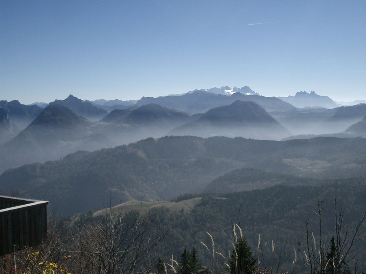
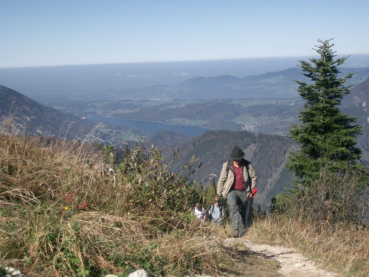
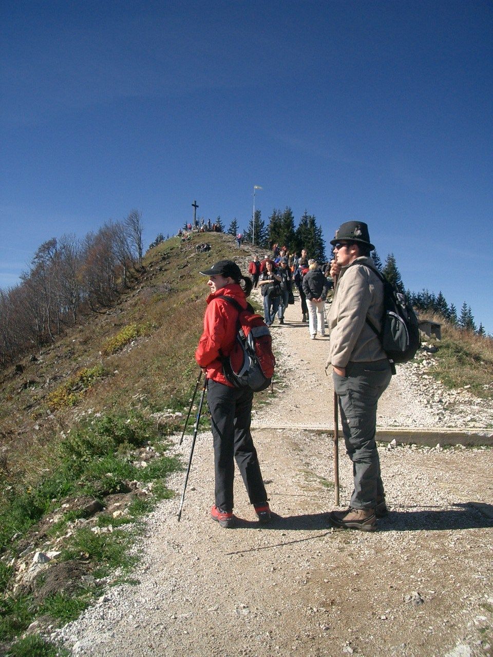
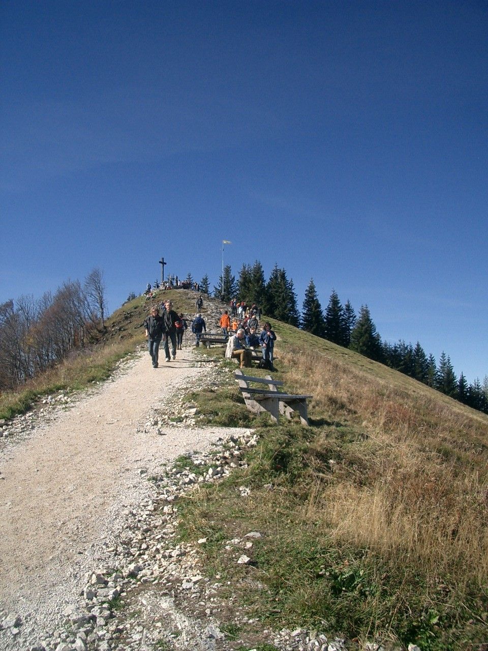
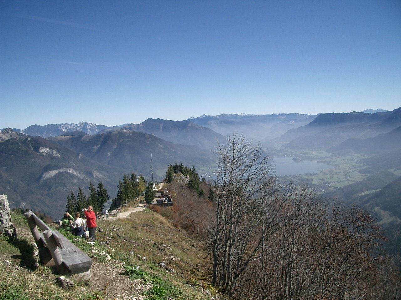
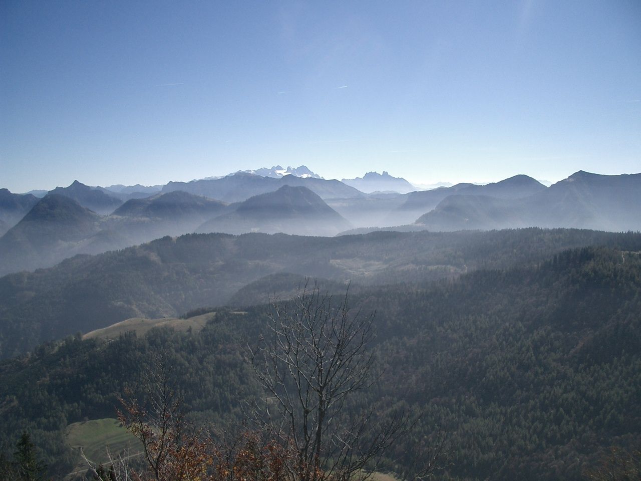
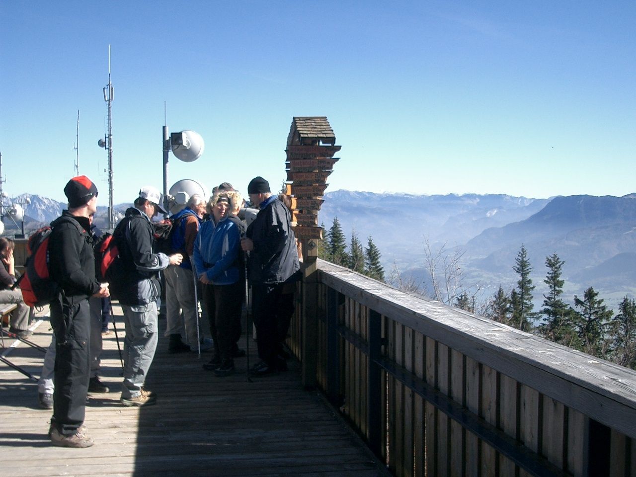
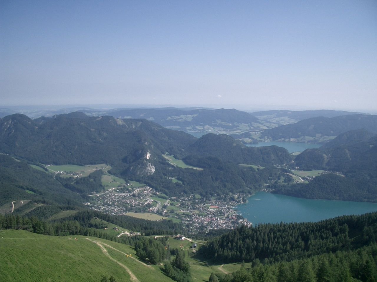
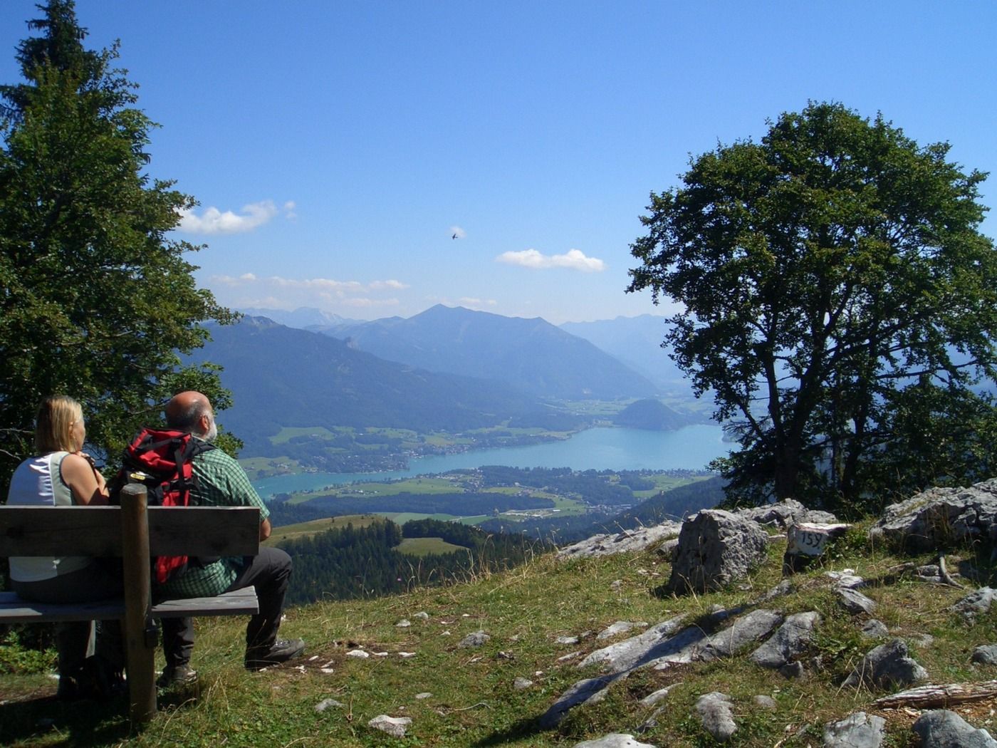
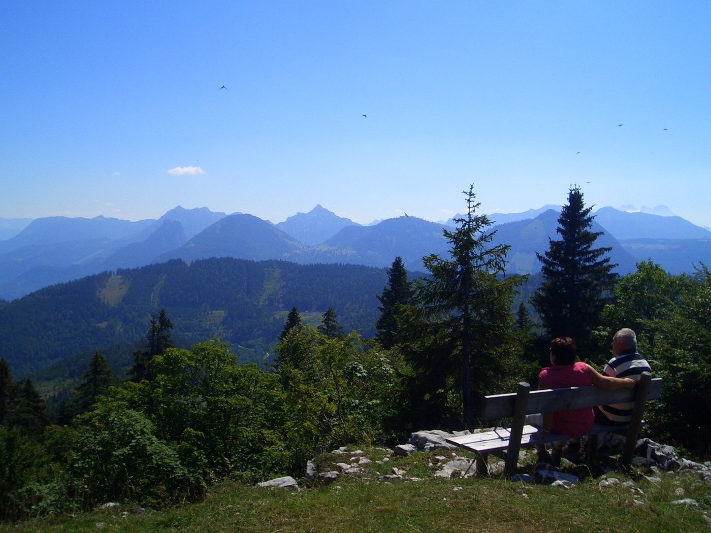
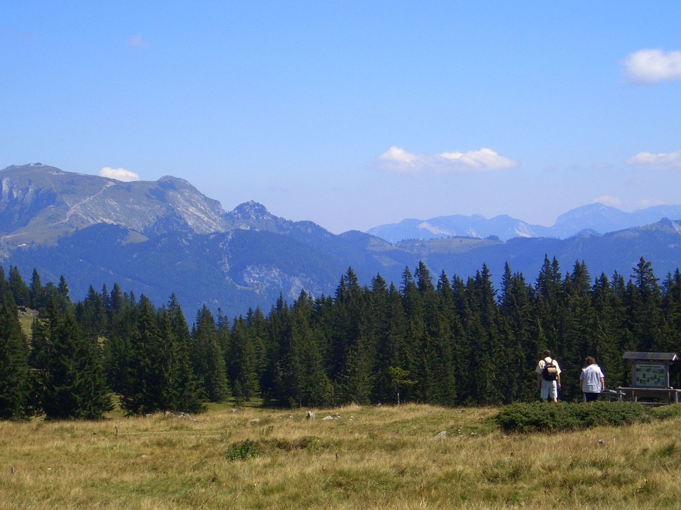
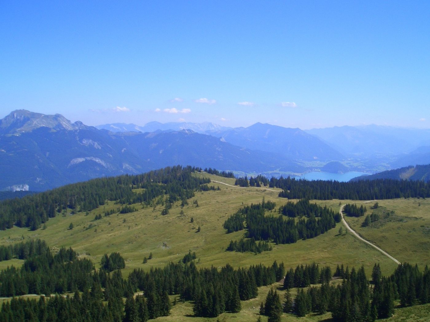
Zwölferhorn (1.521 m)0,0 kmArnikahütte0,2 kmPillsteinhöhe (1.478 m)1,3 kmIllingerberg (1.475 m)3,1 kmApfelkoch (1.451 m)3,3 kmSpitzeck (1.355 m)5,3 kmIllingeralm7,2 kmPillsteinhöhe (1.478 m)8,5 kmArnikahütte9,5 kmZwölferhorn (1.521 m)9,9 km
- Punto più alto
- 1.485 m
- Riposo/Ritiro
-
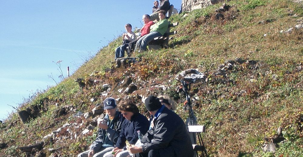
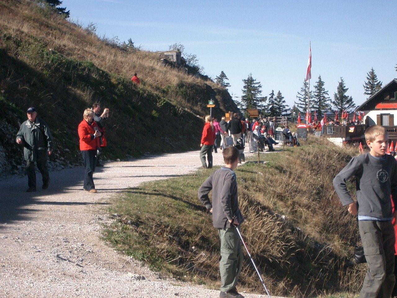
Arnikahütte, Illingbergalm
- Cartine
-
Folder


GPS Downloads


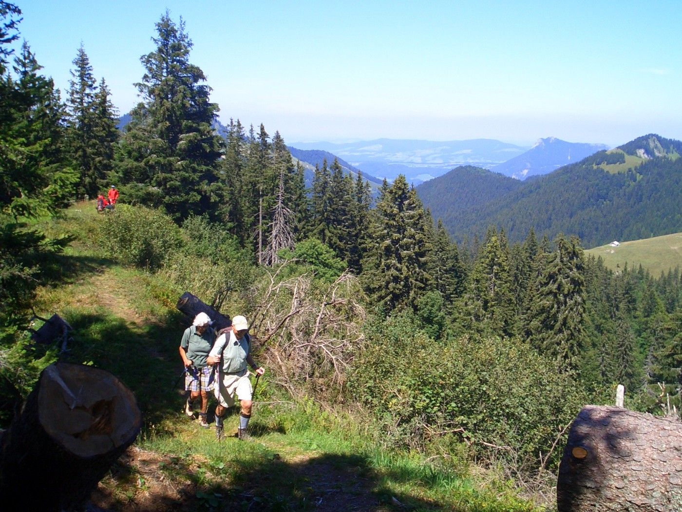
Condizioni dei sentieri
Asfalto
Ghiaia
Prato
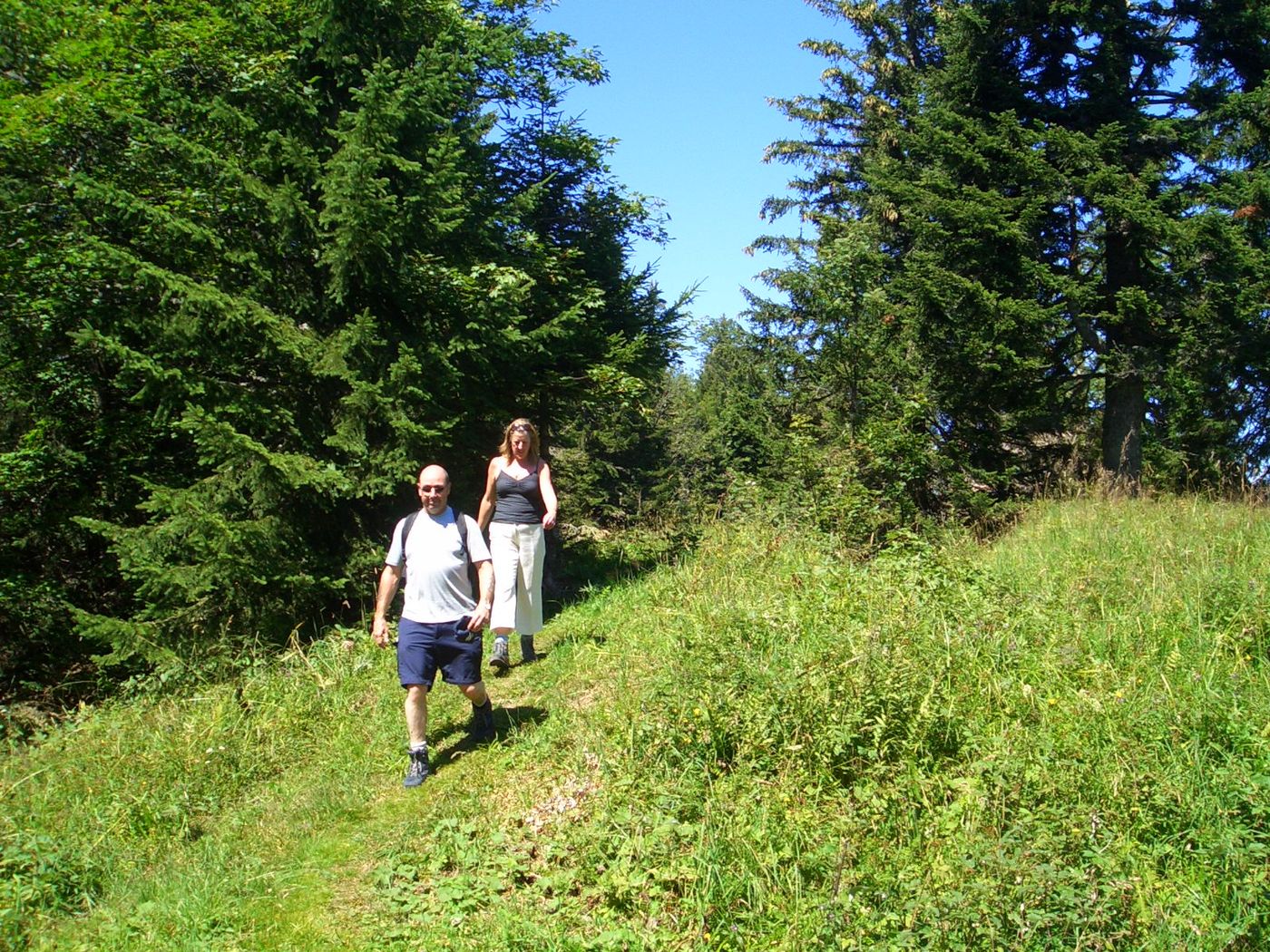
Foresta
Roccia
Esposta
Altri tour nelle regioni