- Descrizione rapida
-
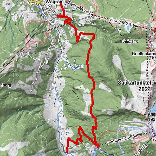
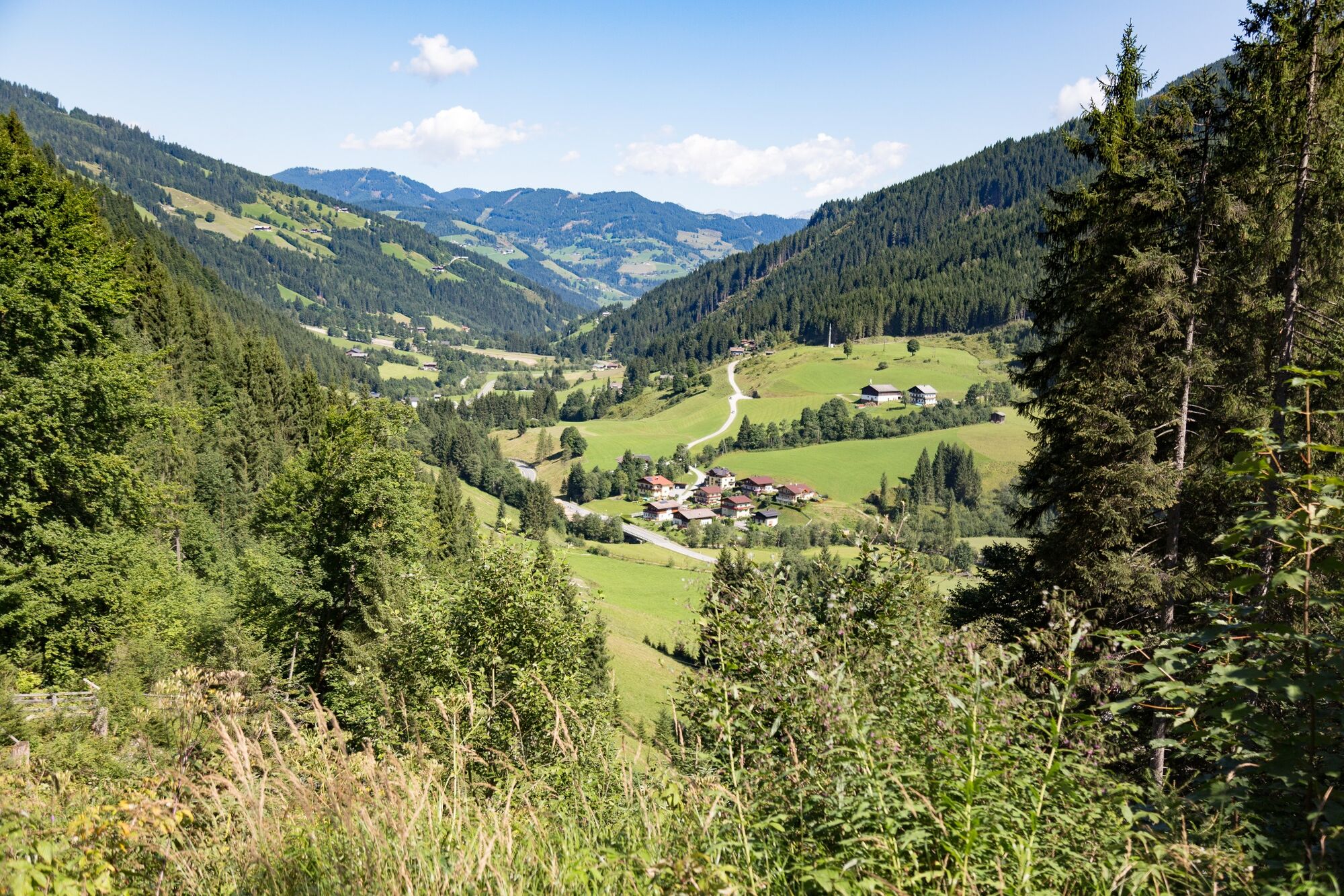
Comfortable hike from Kleinarl to Wagrain and back with the hiking bus.
- Difficoltà
-
intermedio
- Valutazione
-
- Percorso
-
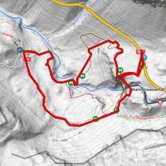
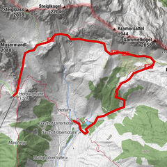
Fürbach9,1 kmWagrain10,4 km
- La stagione migliore
-
genfebmaraprmaggiulugagosetottnovdic
- Punto più alto
- 1.426 m
- Destinazione
-
Wagrain Kirchboden
- Profilo altimetrico
-

-

-
AutoreIl tour Via the Baierwaldstrasse to Wagrain è utilizzato da outdooractive.com fornito.
GPS Downloads


Info generali
Punto di ristoro
Altri tour nelle regioni