© xxlstier
© xxlstier
© xxlstier
© xxlstier
© xxlstier
© xxlstier
Dati percorsi
3,78km
670
- 1.128m
465hm
465hm
04:00h

- Descrizione rapida
-
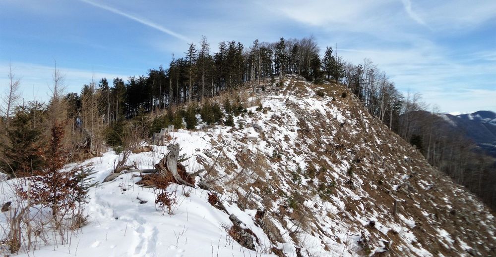
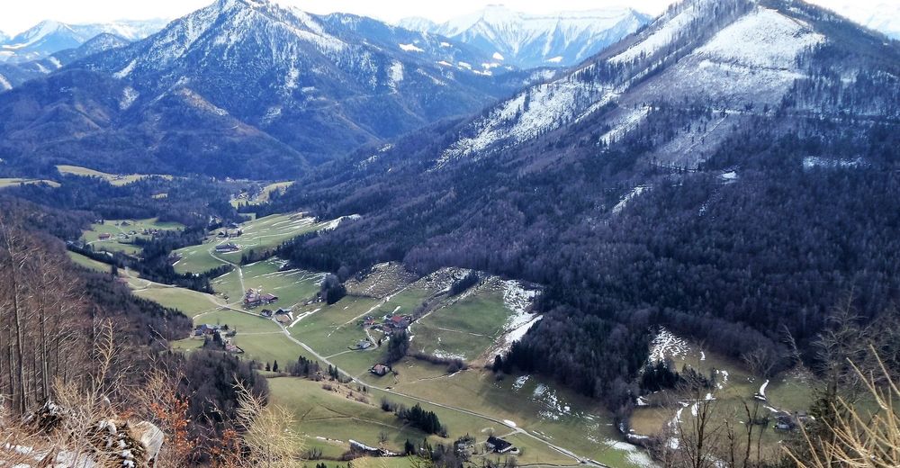
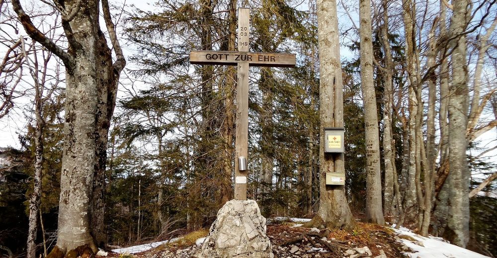
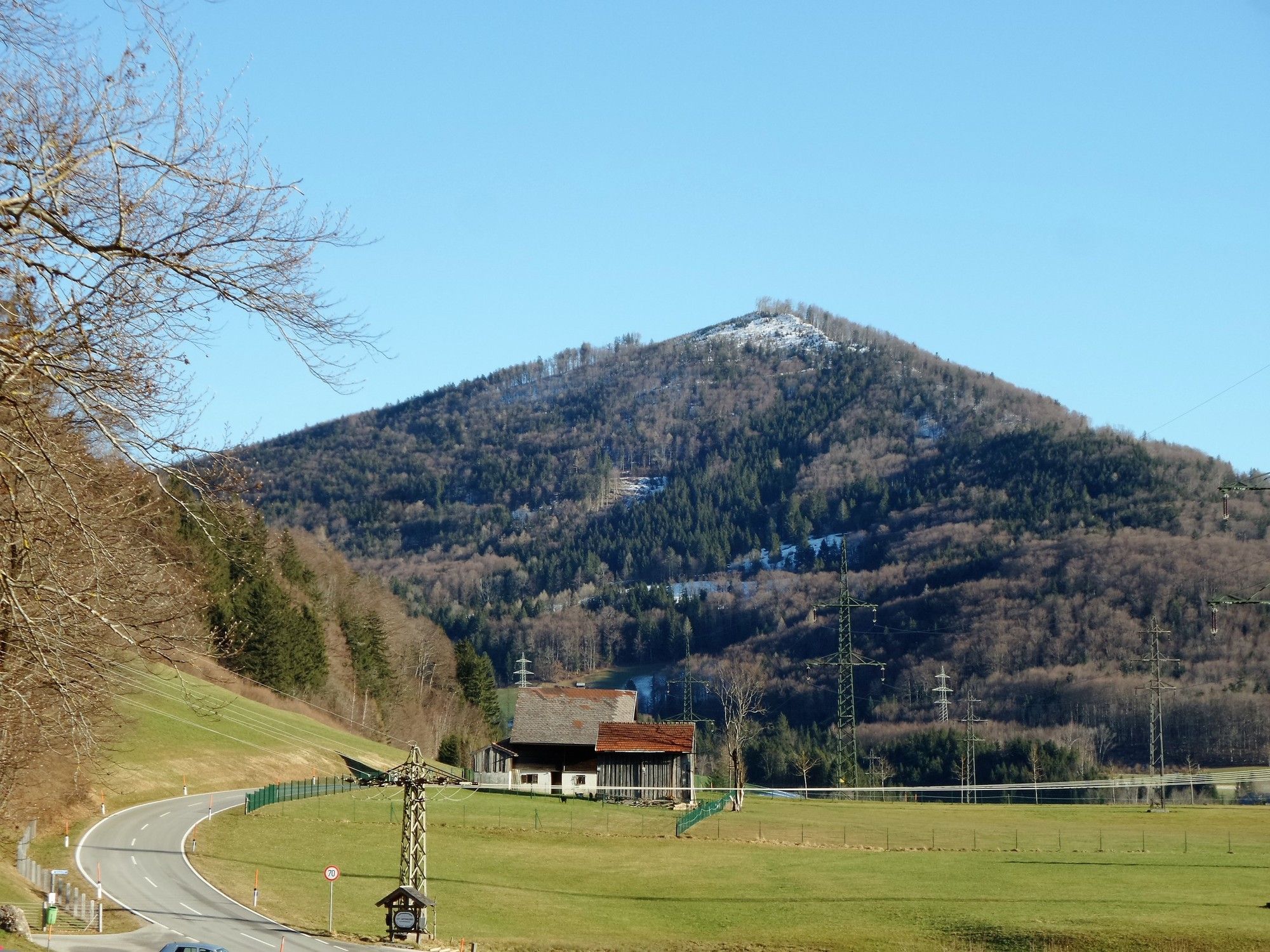
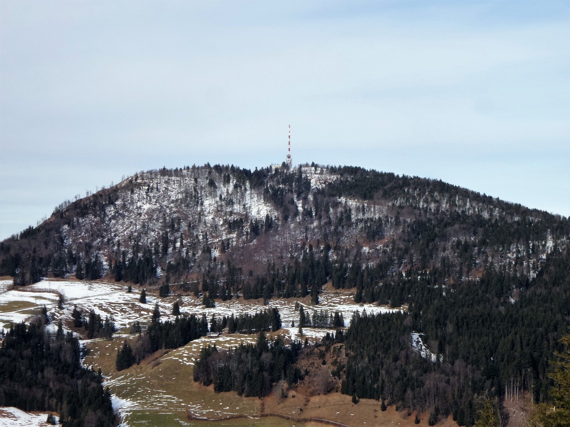
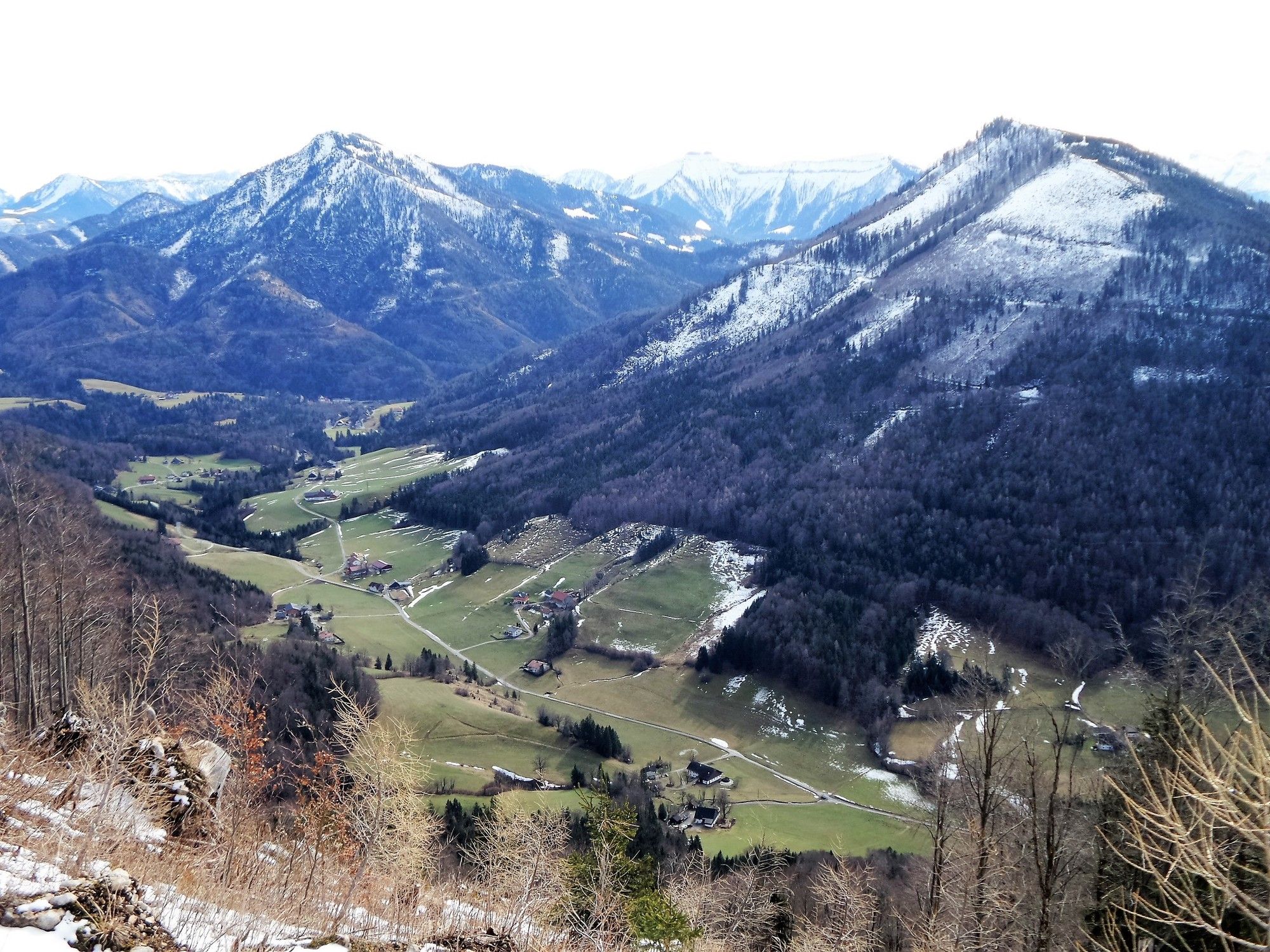
Elsbethen: Gurlspitze
- Difficoltà
-
intermedio
- Valutazione
-
- Punto di partenza
-
Elsbethen/Vorderfager/Schwaitlalm
- Percorso
-
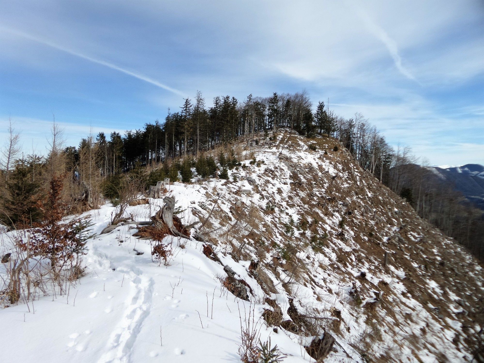
Schwaitlalm0,1 kmGurlspitze (1.158 m)3,7 km
- La stagione migliore
-
genfebmaraprmaggiulugagosetottnovdic
- Punto più alto
- 1.128 m
- Destinazione
-
Gurlspitze
- Riposo/Ritiro
-
keine

- Fonte
- xxlstier
GPS Downloads


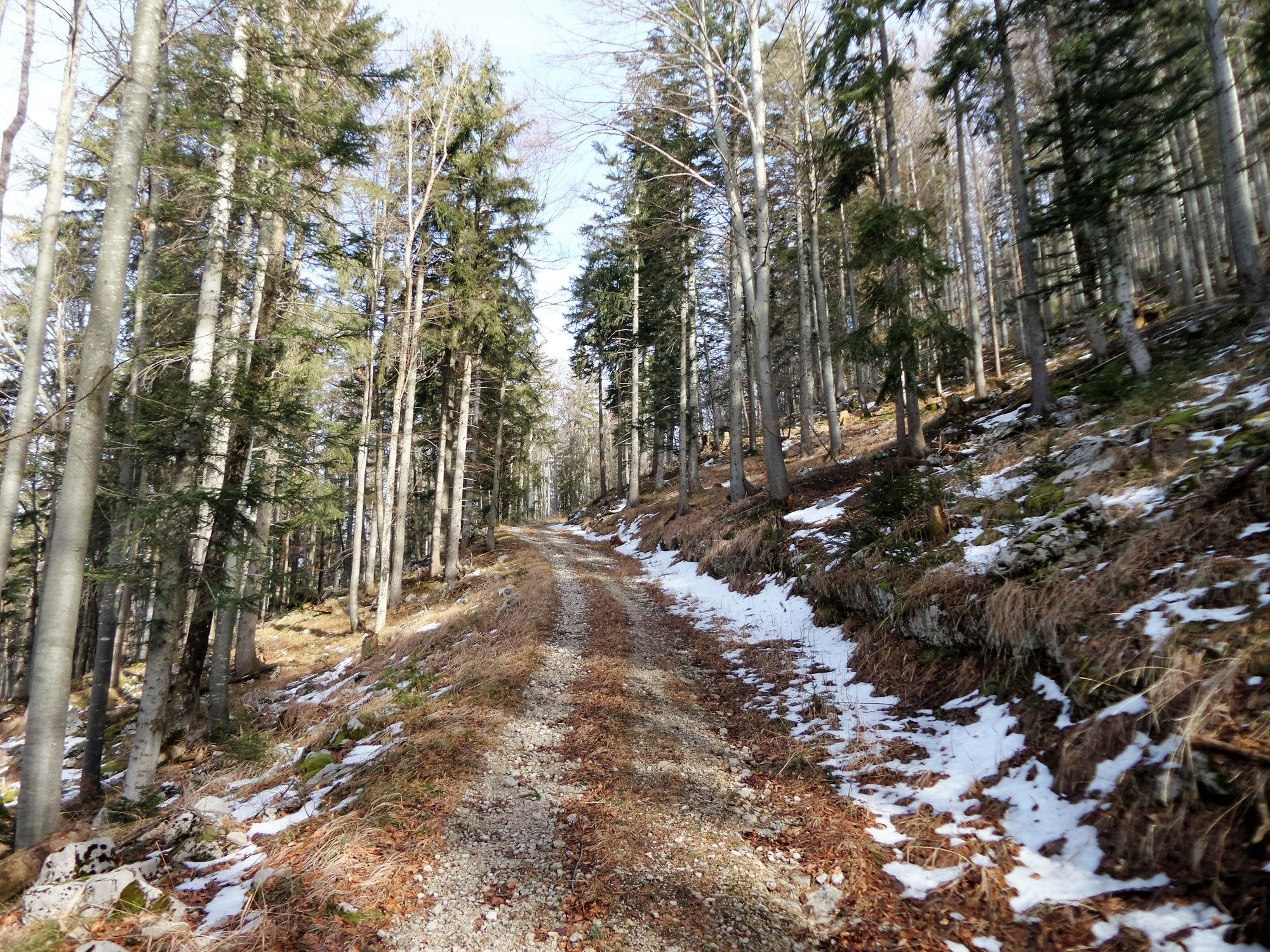
Condizioni dei sentieri
Asfalto
Ghiaia
(80)
Prato
Foresta
(20)
Roccia
Esposta
Altri tour nelle regioni
-
Fuschlsee - Ferienregion
1659
-
Koppl
489