Dati percorsi
10,86km
- 2.344m
990hm
05:00h

- Descrizione rapida
-
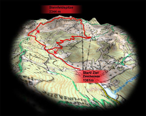
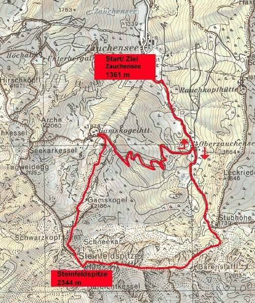
Schöne, hochalpine Runde mit tollem Panorama
- Valutazione
-
- Punto di partenza
-
Zauchensee
- Punto più alto
- 2.344 m
- Riposo/Ritiro
-
Gamskogelhütte
- Cartine

GPS Downloads


Condizioni dei sentieri
Asfalto
Ghiaia
Prato
Foresta
Roccia
Esposta
Altri tour nelle regioni
-
Katschberg Lieser-Maltatal
2554
-
Obertauern
1639
-
Untertauern
504