© © Schmittenhöhebahn AG

© © Schmittenhöhebahn AG
- Descrizione rapida
-
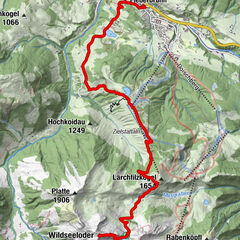
The Schmitten is one of the most beautiful viewing mountains, offering a 360° panoramic view of the surrounding Kitzbühel Alps.
- Difficoltà
-
intermedio
- Valutazione
-
- Percorso
-
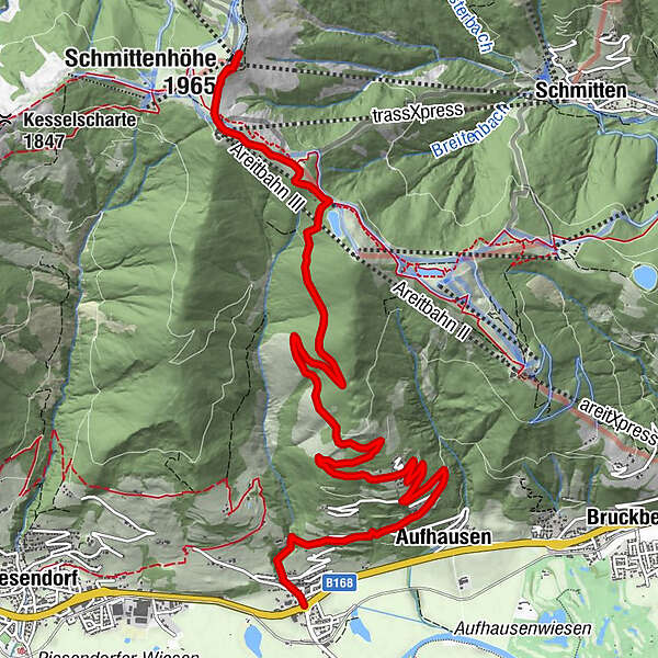
Gasthaus Matzen0,0 kmFürth0,2 kmAufhausen1,9 kmDürnberg2,7 kmtrassXpress9,8 kmpanorama Restaurant am Berg9,8 kmElisabeth-Kapelle10,3 kmSchmittenhöhe (1.965 m)10,5 kmBerghotel Schmittenhöhe10,5 km
- La stagione migliore
-
genfebmaraprmaggiulugagosetottnovdic
- Punto più alto
- 1.950 m
- Destinazione
-
Schmittenhöhe Zell am See
- Profilo altimetrico
-


-

-
AutoreIl tour Piesendorf Fürth/Aufhausen: Schmittenhöhe è utilizzato da outdooractive.com fornito.
GPS Downloads


Info generali
Punto di ristoro
Flora
Fauna
Promettente
Altri tour nelle regioni
-
Zell am See - Kaprun
1504
-
Schmittenhöhe
522