

© Kitzsteinhorn

© Kitzsteinhorn

© Kitzsteinhorn

© Kitzsteinhorn

- Descrizione rapida
-
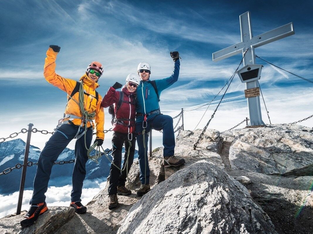
Have an amazing tour to the peak of the Kitzsteinhorn!
- Difficoltà
-
difficile
- Valutazione
-
- Percorso
-
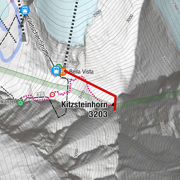
Gletscher ShuttleBella VistaKitzsteinhorn (3.203 m)0,3 km
- La stagione migliore
-
genfebmaraprmaggiulugagosetottnovdic
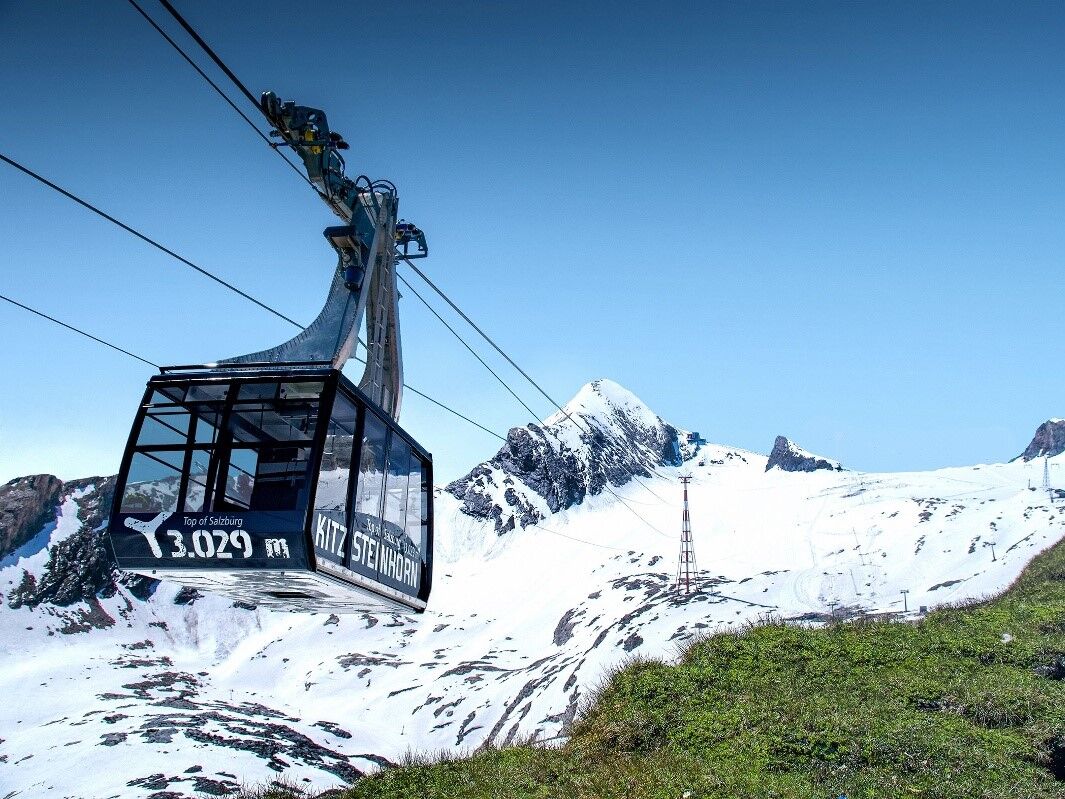
- Punto più alto
- 3.165 m
- Destinazione
-
Gipfel auf 3.203 m
- Profilo altimetrico
-


-

-
AutoreIl tour Kitzsteinhorn 3.203 m - Ascent to the peak è utilizzato da outdooractive.com fornito.
GPS Downloads


Info generali
Promettente
Altri tour nelle regioni


