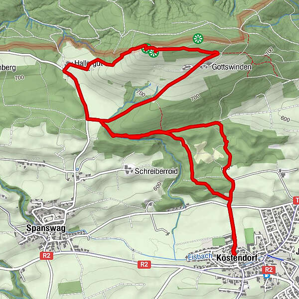
Dati percorsi
7,69km
556
- 791m
235hm
228hm
01:50h
- Descrizione rapida
-
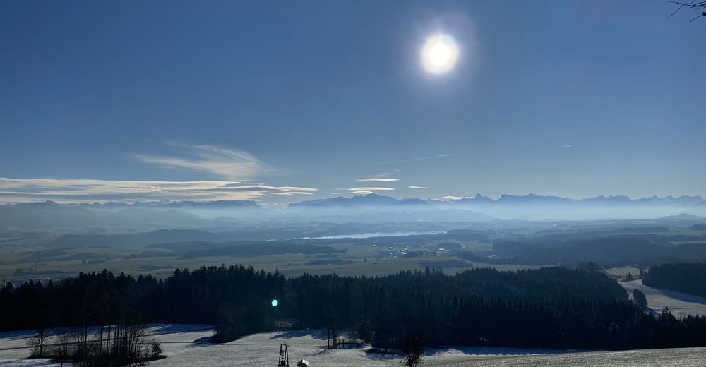
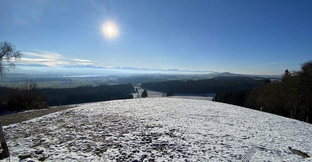
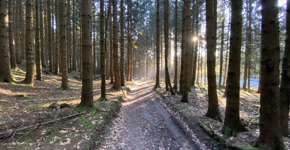
Von Köstendorf auf den Tannberg und zurück
- Difficoltà
-
facile
- Valutazione
-
- Percorso
-
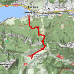
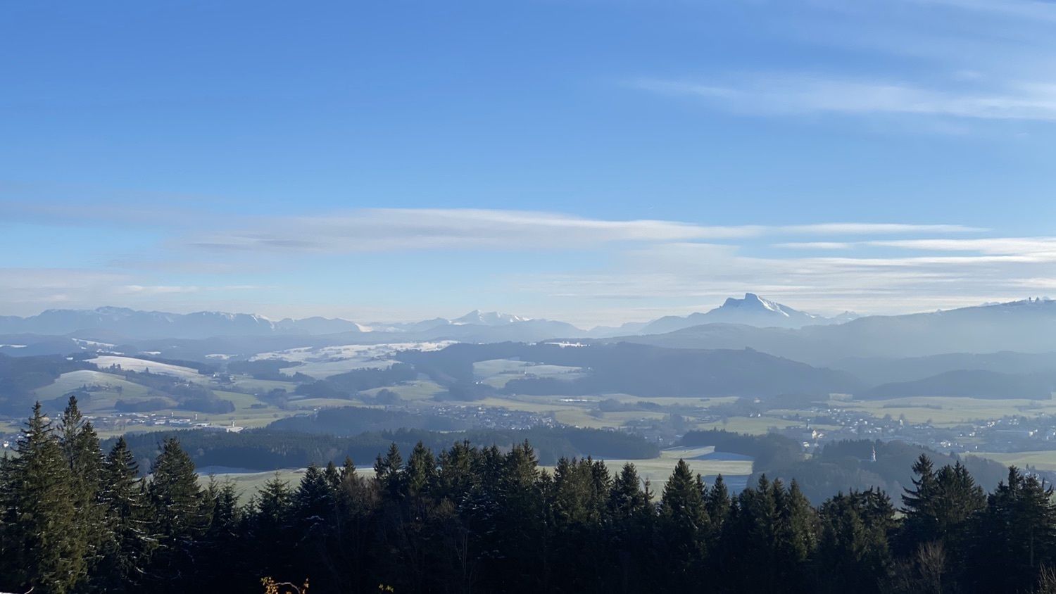
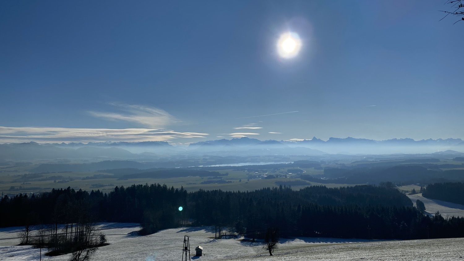
KöstendorfGottswinden2,8 kmTannberg (787 m)3,6 kmGasthaus Tannberg3,7 kmHallerbauer4,6 kmKöstendorf7,6 km
- La stagione migliore
-
genfebmaraprmaggiulugagosetottnovdic
- Punto più alto
- 791 m

GPS Downloads


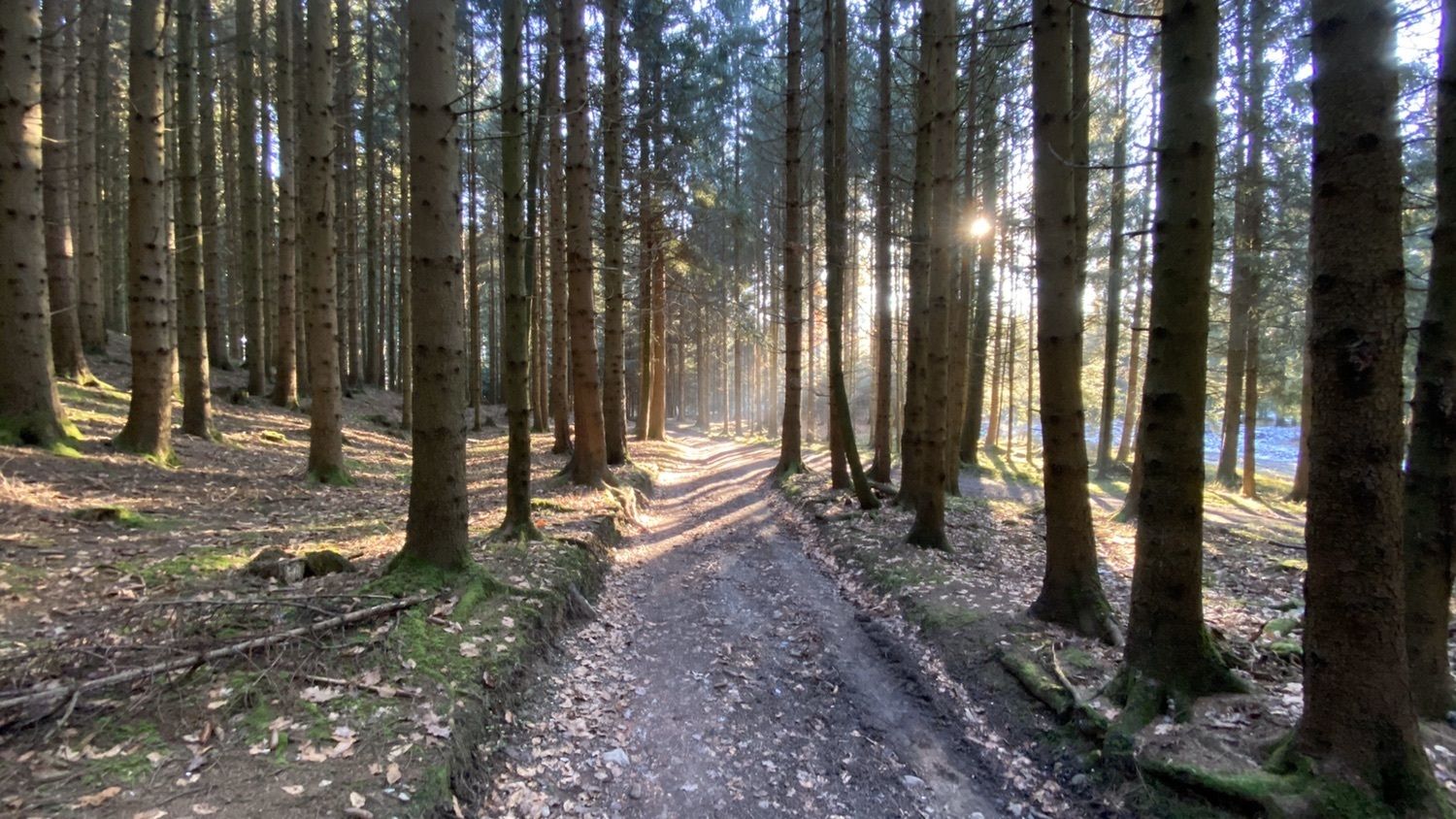
Condizioni dei sentieri
Asfalto
Ghiaia
Prato
Foresta
Roccia
Esposta
Altri tour nelle regioni
-
Innviertel
797
-
Salzburger Seenland
1042
-
Köstendorf bei Salzburg
154