Dati percorsi
4,94km
1.551
- 2.017m
29hm
495hm
01:35h
- Descrizione rapida
-
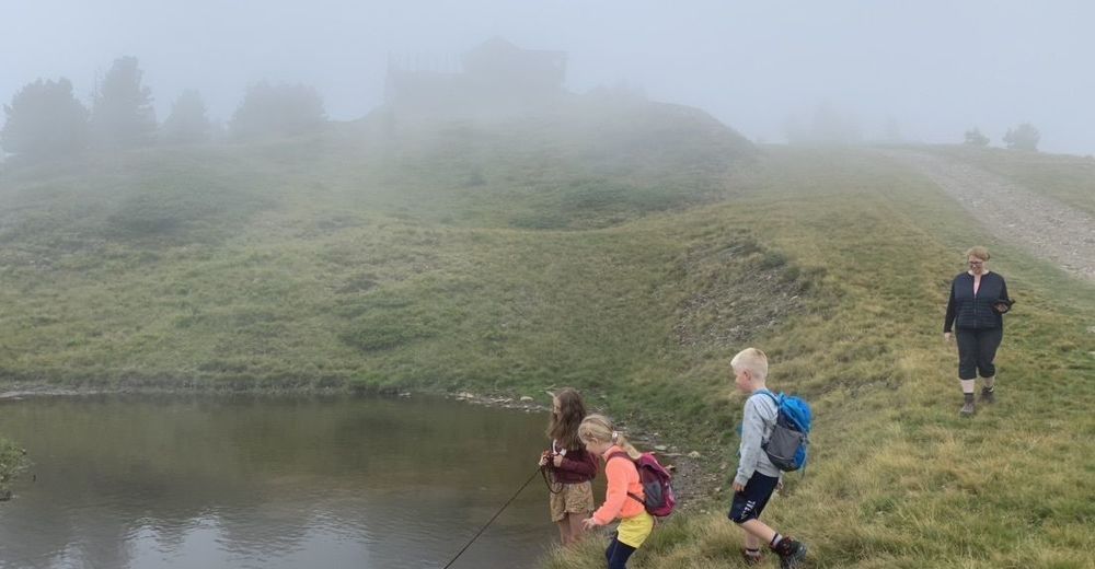
Easy walk for family
- Difficoltà
-
intermedio
- Valutazione
-
- Percorso
-
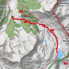
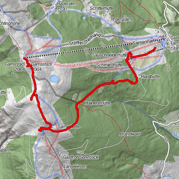
Samsonjet (2.020 m)0,0 kmSchwandhöhe (2.020 m)0,0 kmGams Stadl0,1 kmMoserkopf (1.905 m)1,3 kmAlmstüberl am Moserkopf1,7 kmSamerhütte2,0 kmSauschneiderhütte4,5 kmBergstation4,5 km
- Punto più alto
- 2.017 m

GPS Downloads


Altri tour nelle regioni
-
Katschberg Lieser-Maltatal
2574
-
Lungau - Ferienregion
871
-
Weißpriach
207