Dati percorsi
16,5km
772
- 1.890m
182hm
1.012hm
05:00h
- Descrizione rapida
-
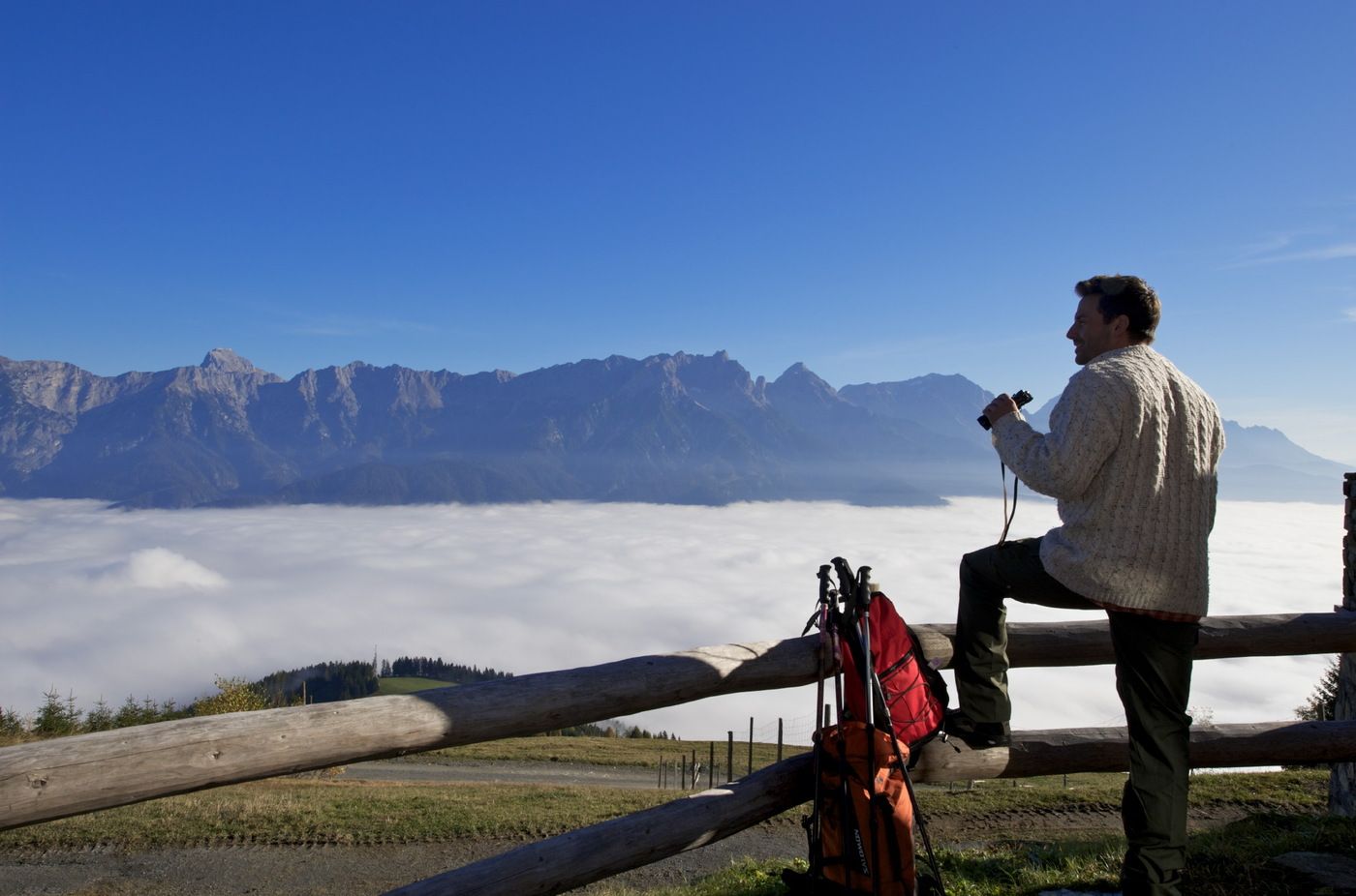
Ein gemütlicher Marsch von Leogang nach Saalfelden!
- Difficoltà
-
intermedio
- Valutazione
-
- Punto di partenza
-
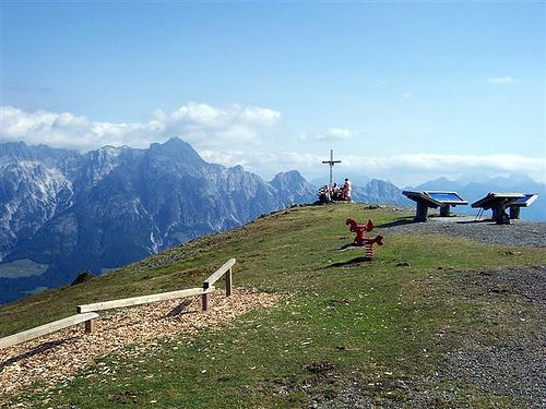
Asitz Bergstation in Leogang
- Percorso
-
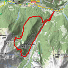
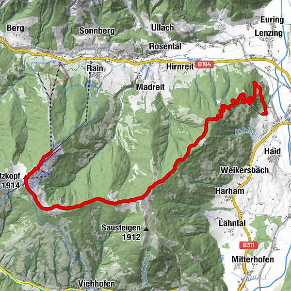
Alte Schmiede0,1 kmKleiner Asitz (1.870 m)0,9 kmAsitzmuldenbahn (1.872 m)0,9 kmGroßer Asitz (1.914 m)1,4 kmAsitzkogelbahn1,5 kmSchabergkogel (1.888 m)2,7 kmGeierkogel (1.853 m)3,4 kmGeierkogelhütte3,7 kmLochalmköpfl (1.807 m)6,1 kmHaiderbergkogel (1.875 m)6,5 kmDurchenkopf (1.764 m)7,3 kmBerggasthof Biberg11,2 kmHuggenberg Alm13,2 km
- La stagione migliore
-
genfebmaraprmaggiulugagosetottnovdic
- Punto più alto
- Bergstation der Asitzbahn (1.890 m)
- Riposo/Ritiro
-
Alte Schmiede
Berggasthof Biberg
Berggasthof Huggenberg - Cartine
-
vorhanden an allen Tourismusverbänden der Region, Kosten € 7,-- pro Karte
GPS Downloads


Condizioni dei sentieri
Asfalto
Ghiaia
Prato
Foresta
Roccia
Esposta
Altri tour nelle regioni
-
Saalfelden - Leogang
1787
-
Leogang
433