Auf die Pillsteinhöhe über die Schafbachalm

Escursionismo


- Descrizione rapida
-
Vom Parkplatz Keflau über die Schafbachalm auf die Pillsteinhöhe. (Ausgangspunkt für die große Illingeralm-Runde)
- Difficoltà
-
intermedio
- Valutazione
-
- Percorso
-
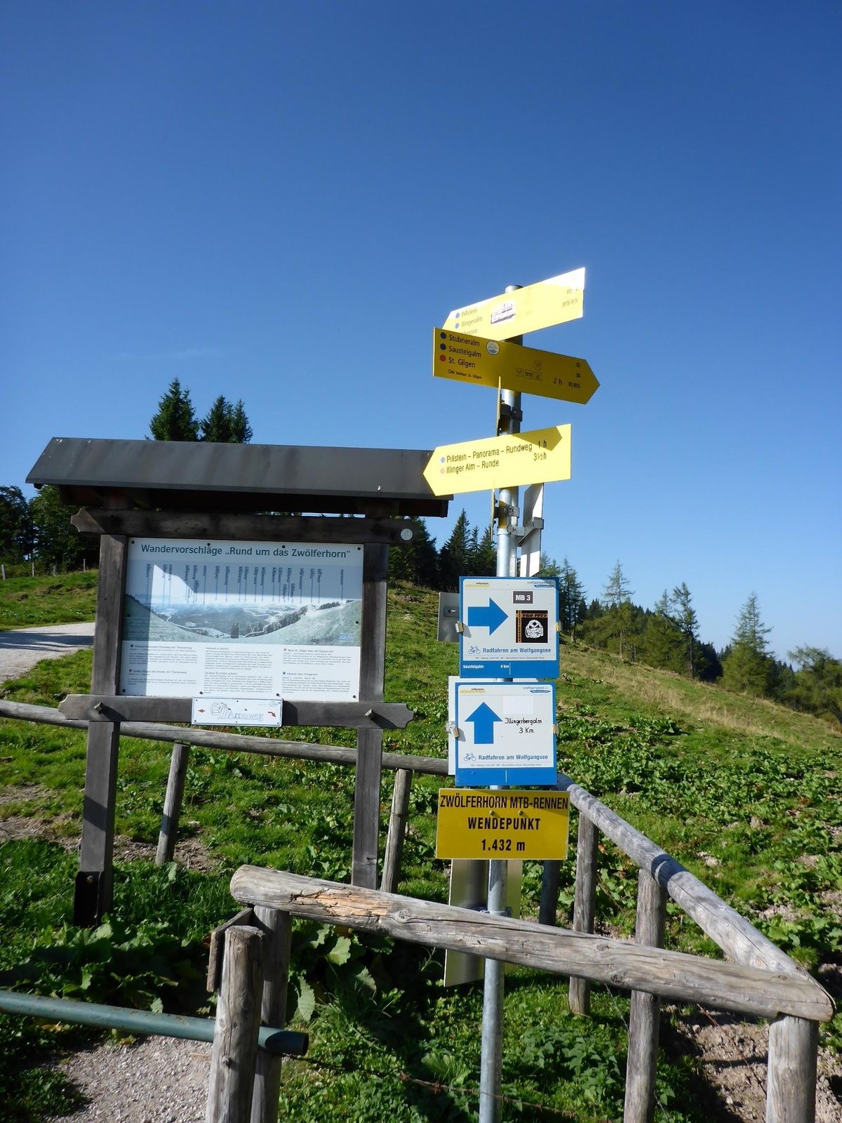
Schafbachalm2,3 kmPillsteinhöhe (1.478 m)6,5 kmPillsteinalm7,6 kmSchafbachalm10,6 km
- La stagione migliore
-
genfebmaraprmaggiulugagosetottnovdic
- Punto più alto
- 1.463 m
- Destinazione
-
Parkplatz Streitberg / Keflau
- Profilo altimetrico
-


-

-
AutoreIl tour Auf die Pillsteinhöhe über die Schafbachalm è utilizzato da outdooractive.com fornito.
GPS Downloads


Info generali
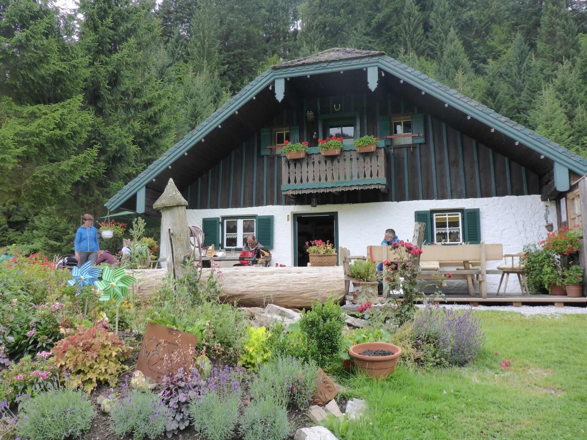
Punto di ristoro
Promettente
Altri tour nelle regioni


