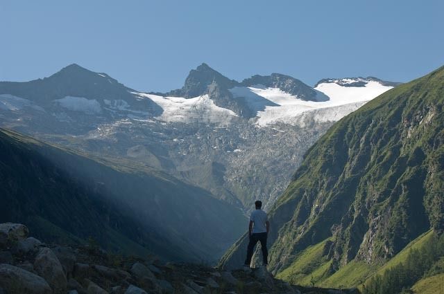
© Habachtal

Dati percorsi
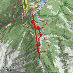
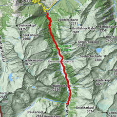
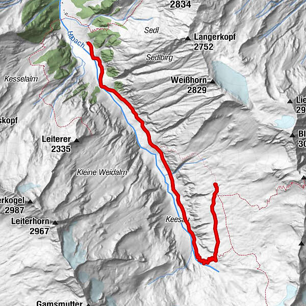
6,53km
1.413
- 2.219m
817hm
27hm
05:30h
- Valutazione
-
- Punto di partenza
-
Parkplatz Habachtal oder Moaalm
- Percorso
- La stagione migliore
-
genfebmaraprmaggiulugagosetottnovdic
- Punto più alto
- 2.219 m
- Riposo/Ritiro
-
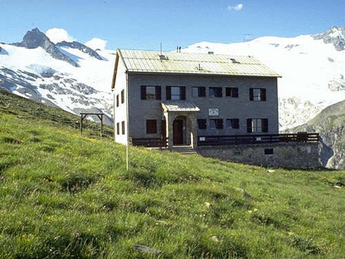
Enzianhütte, Ghf. Alpenrose, Thüringerhütte
GPS Downloads


Condizioni dei sentieri
Asfalto
Ghiaia
Prato
Foresta
Roccia
Esposta
Altri tour nelle regioni