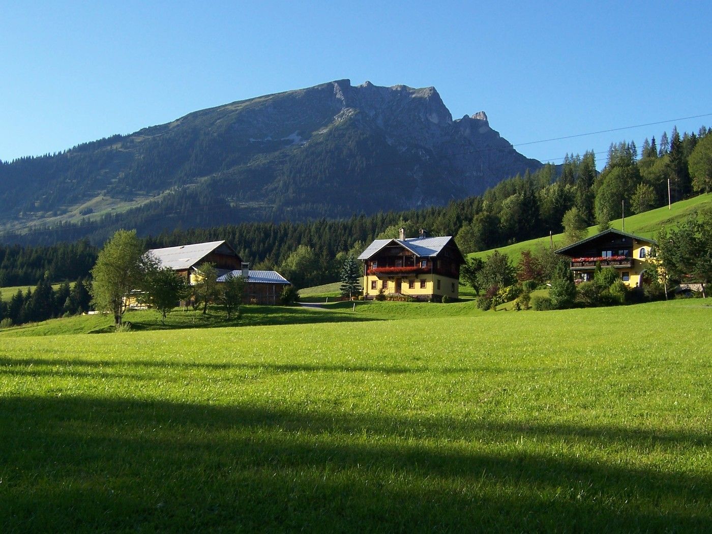
© Brigitte Gamsjäger
Dati percorsi
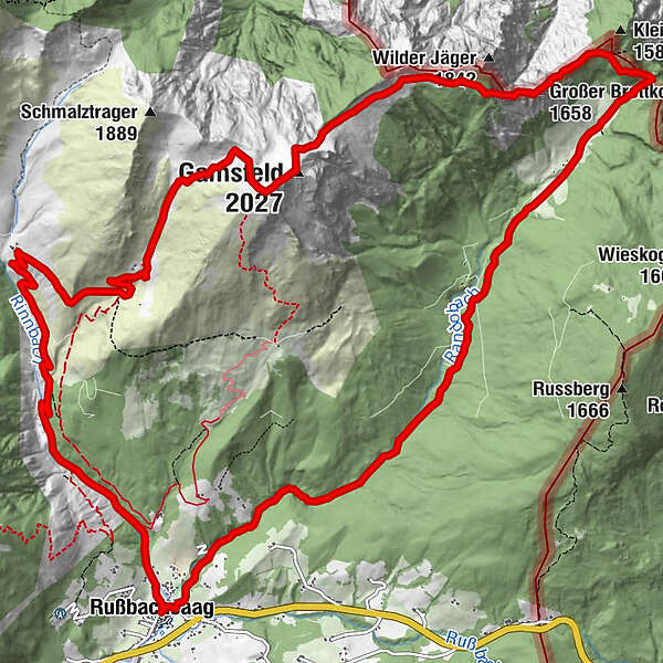
18,1km
810
- 1.996m
1.195hm
1.175hm
07:00h
- Descrizione rapida
-
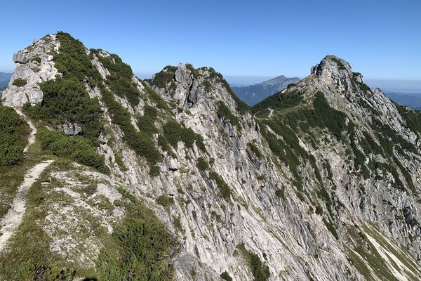
Lohnende Bergtour auf den höchsten Gipfel der Osterhorngruppe. Meist steiles unbewaldetes Gelände.
auf das Gamsfeld
- Difficoltà
-
intermedio
- Valutazione
-
- Punto di partenza
-
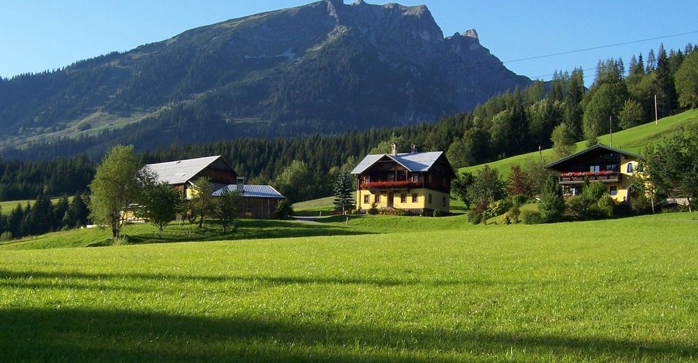
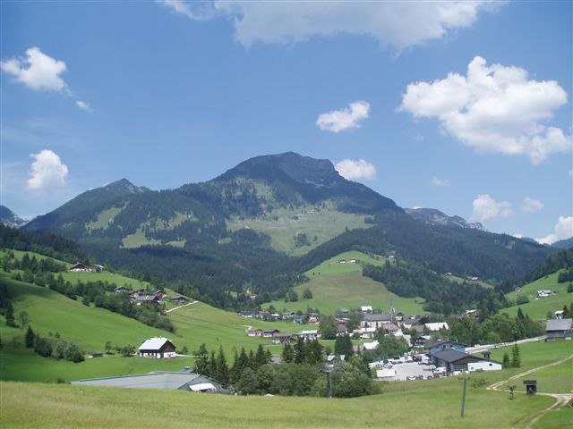
Information Russbach
- Percorso
-
RußbachsaagPfarrkirche zum Hl. KreuzKirchenwirt0,0 kmGroßer Brettkogel (1.658 m)7,5 kmGamsfeld (2.027 m)10,0 kmRinnbergalmen14,0 kmKirchenwirt18,0 kmPfarrkirche zum Hl. Kreuz18,0 kmRußbachsaag18,1 km
- La stagione migliore
-
genfebmaraprmaggiulugagosetottnovdic
- Punto più alto
- 1.996 m
- Riposo/Ritiro
-
Neualm
Rinnbergalmen
Angerkaralm
GPS Downloads


Condizioni dei sentieri
Asfalto
Ghiaia
Prato
Foresta
Roccia
Esposta
Altri tour nelle regioni