Arthurhaus - Bürglhöh (Bischofshofen)

Logo Arthurhaus - Bürglhöh (Bischofshofen)
Dati percorsi
7,09km
797 - 1.518m
Distanz
14hm
707hm
L'ascesa
02:05h
 
Durata
Descrizione rapida

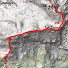
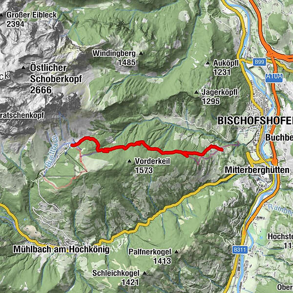
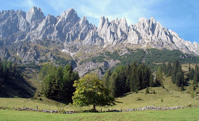
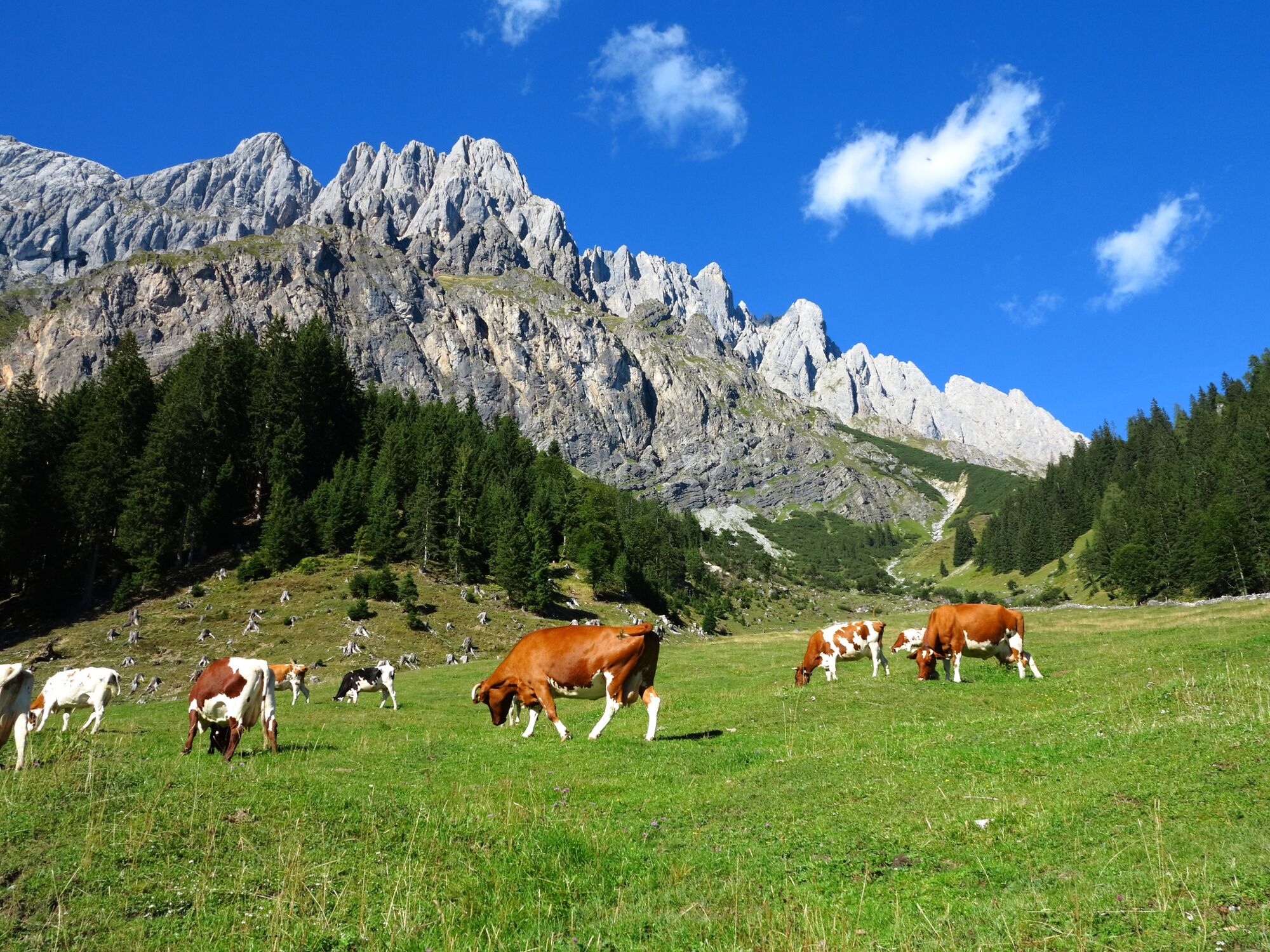
Hike along the marmot trail to Gasthof Bürglhöh and on to Bischofshofen to the ski jump area.A hardly strenuous hike for connoisseurs!

Difficoltà
facile
Valutazione
Tecnica
Forma fisica
Panorama
Avventura / Esperienza
Percorso
Arthurhaus
Gasthof Bürglhöh
6,9 km

La stagione migliore
gen
feb
mar
apr
mag
giu
lug
ago
set
ott
nov
dic
Punto più alto
1.518 m
Destinazione

Bischfoshofen

Profilo altimetrico

Autore

Valutazione complessiva

5

0

%

4

0

%

3

0

%

2

0

%

1

0

%

Errore
Si è verificato un errore. Si prega di riprovare.
Grazie per la vostra recensione

La valutazione è stata cancellata

GPS Downloads
  • GPX GPS Exchange Format (XML)
  • KML Google Earth, Google Maps
Codici di download QR per telefoni cellulari

Info generali

Punto di ristoro
Altri tour nelle regioni

Tour popolari della zona

Pfarrachhöhe ab Gries

intermedio Escursionismo
11,14km | 1196hm | 05:24h

Saalfeldener Gipfel Runde - Schönfeldspitze

difficile Escursionismo
15,14km | 1518hm | 07:30h

Golling: Carl von Stahl Haus - Hoher Göll

Escursionismo
8,5km | 889hm | 06:00h

Summit tour Taghaube

difficile Escursionismo
6,25km | 768hm | 03:00h