


- Descrizione rapida
-
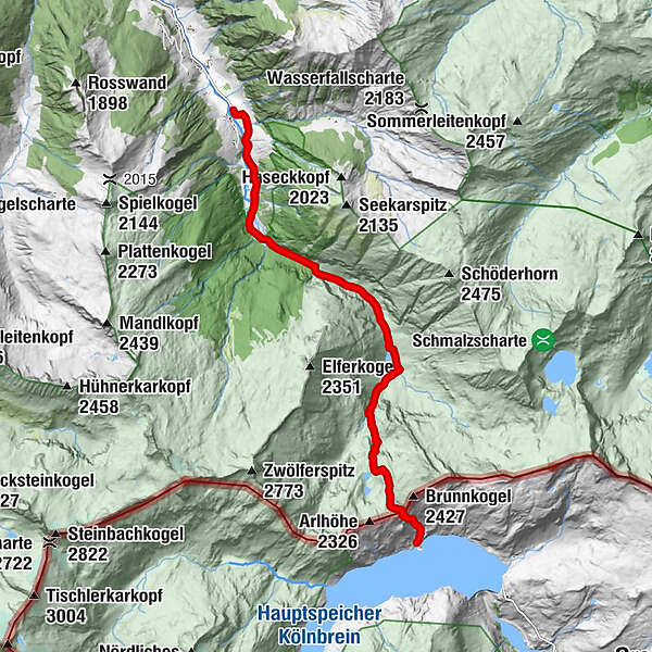
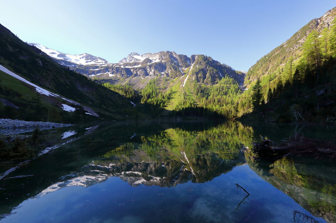
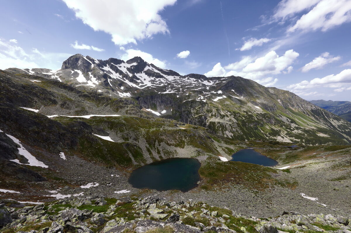
Demanding mountain tour, where you pass the Ötzlsee, the Schödersee (periodical) to the Kölnbreinspeicher.
- Difficoltà
-
difficile
- Valutazione
-
- Percorso
-
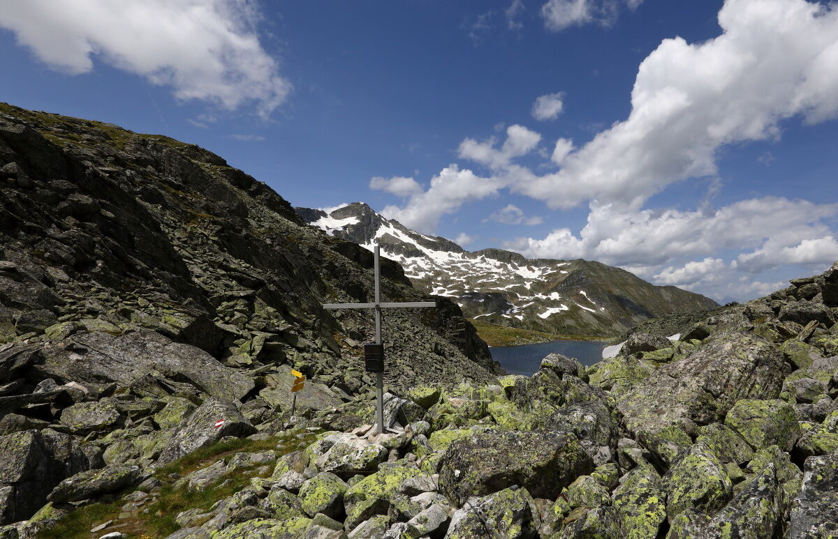
Arlscharte (2.252 m)8,9 km
- La stagione migliore
-
genfebmaraprmaggiulugagosetottnovdic
- Punto più alto
- 2.260 m
- Destinazione
-
Arlscharte
- Profilo altimetrico
-

- Autore
-
Il tour Hüttschlag: Arlscharte - Kölnbreinspeicher è utilizzato da outdooractive.com fornito.
GPS Downloads


Info generali
Punto di ristoro
Suggerimento
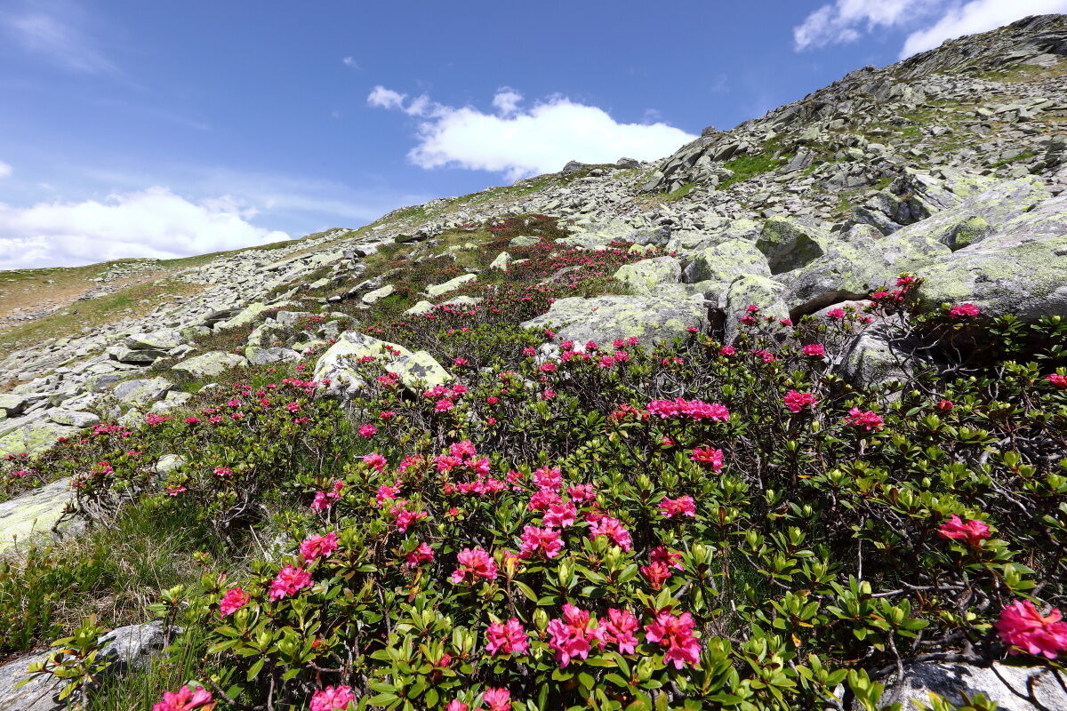
Flora
Promettente
Altri tour nelle regioni
-
Katschberg Lieser-Maltatal
2574
-
Großarltal
2156
-
Hüttschlag
840


