© Ferienregion Nationalpark Hohe Tauern - Christina Moser
© Ferienregion Nationalpark Hohe Tauern - Christina Moser

© Ferienregion Nationalpark Hohe Tauern - Christina Moser

© Ferienregion Nationalpark Hohe Tauern - Christina Moser

© Ferienregion Nationalpark Hohe Tauern - Christina Moser

© Ferienregion Nationalpark Hohe Tauern - Christina Moser
© Ferienregion Nationalpark Hohe Tauern - Christina Moser
© Ferienregion Nationalpark Hohe Tauern - Christina Moser

© Ferienregion Nationalpark Hohe Tauern - Christina Moser

© Ferienregion Nationalpark Hohe Tauern - Christina Moser

- Descrizione rapida
-
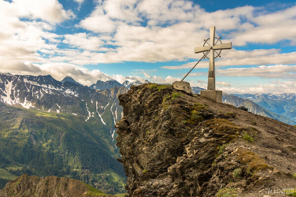
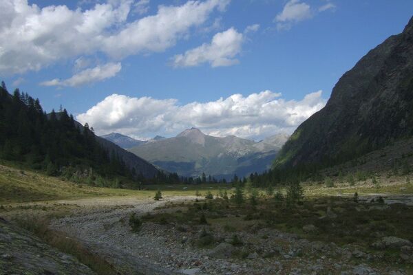
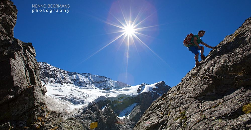
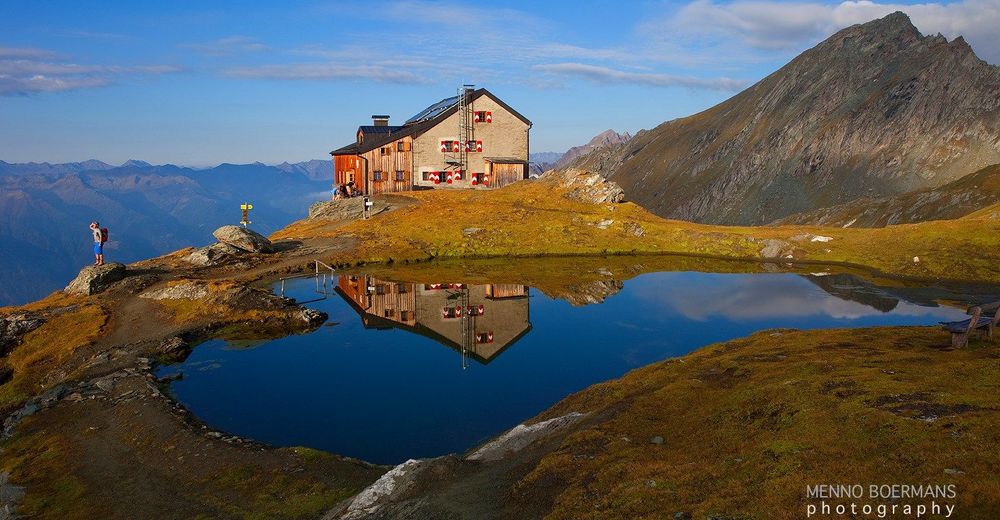
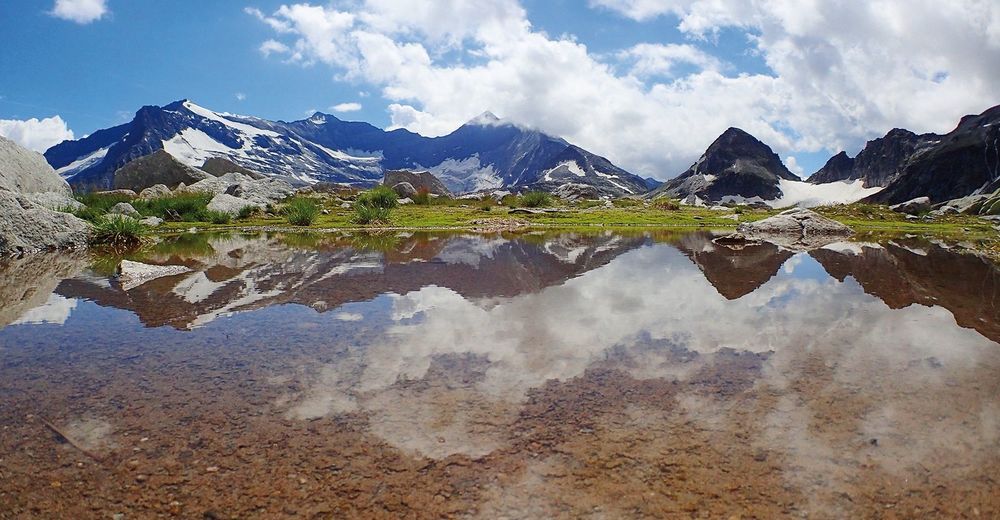
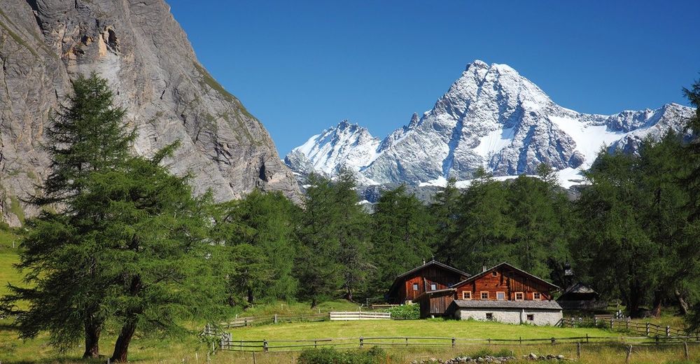
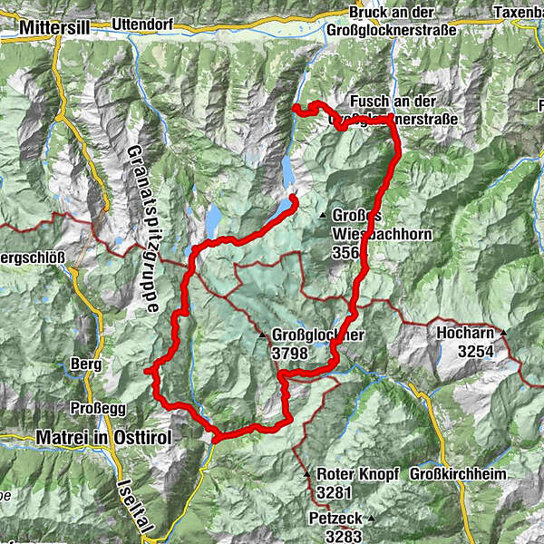
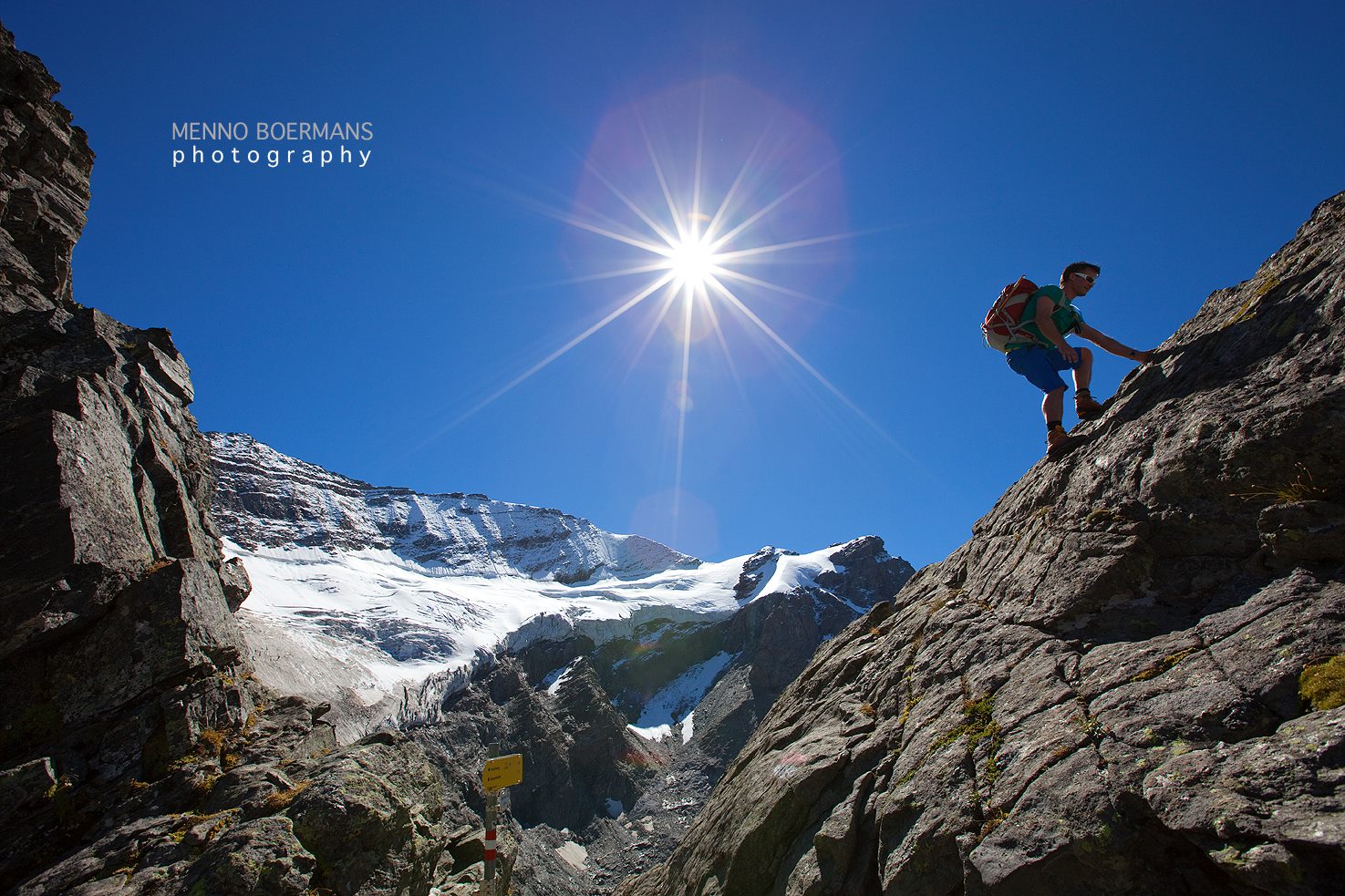
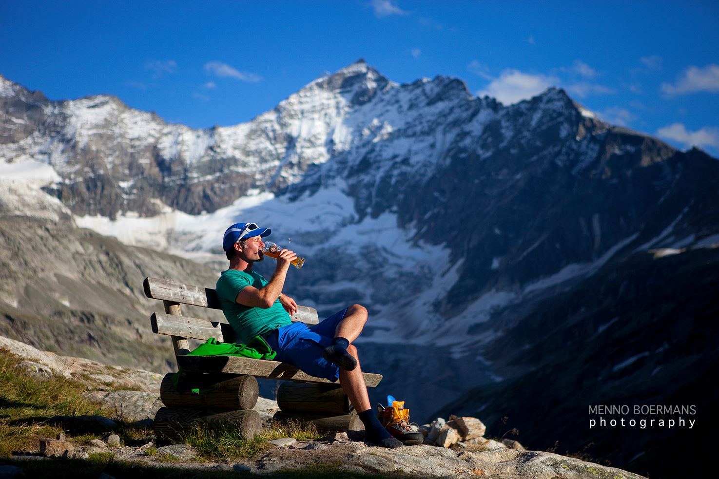
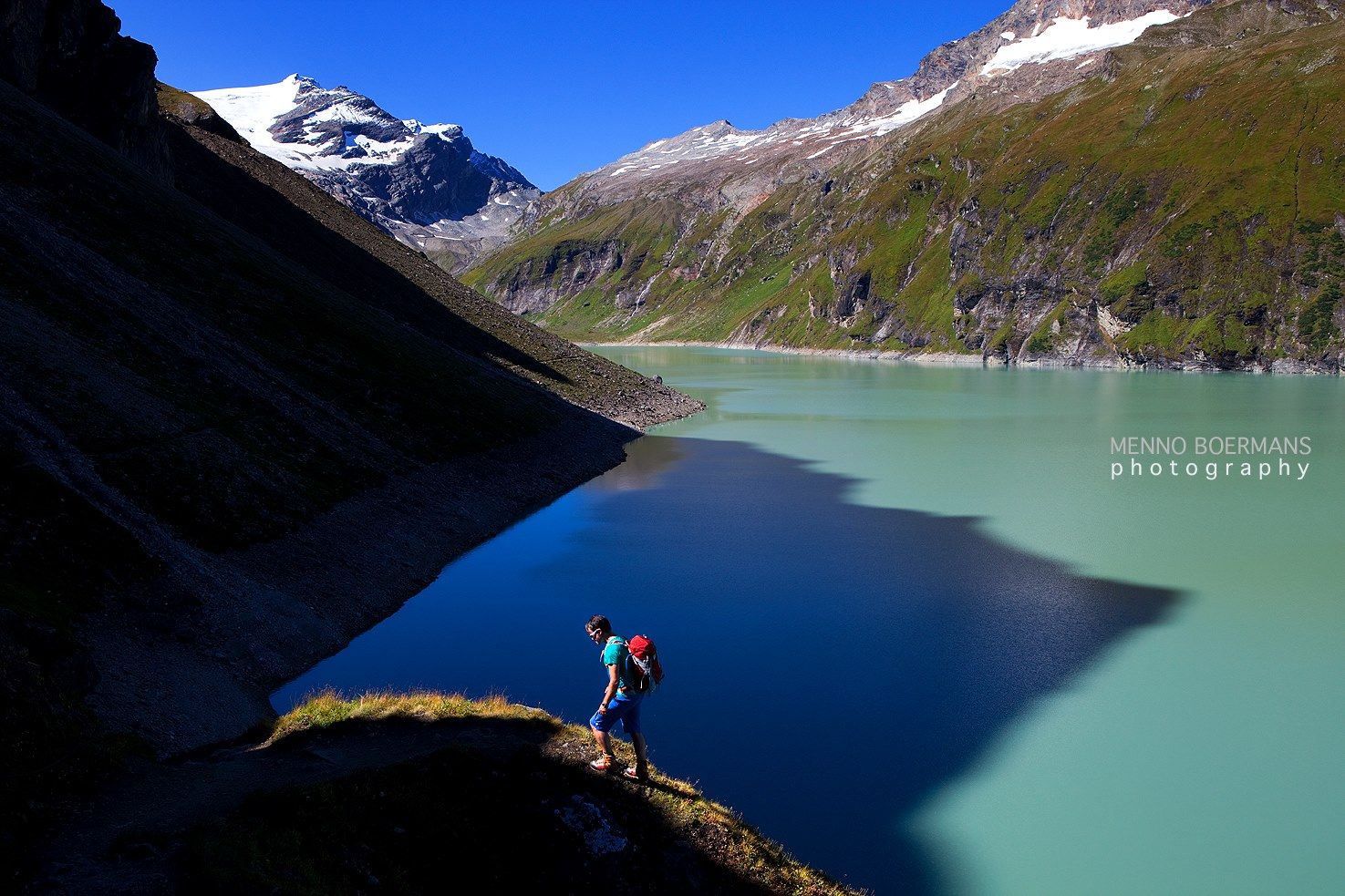
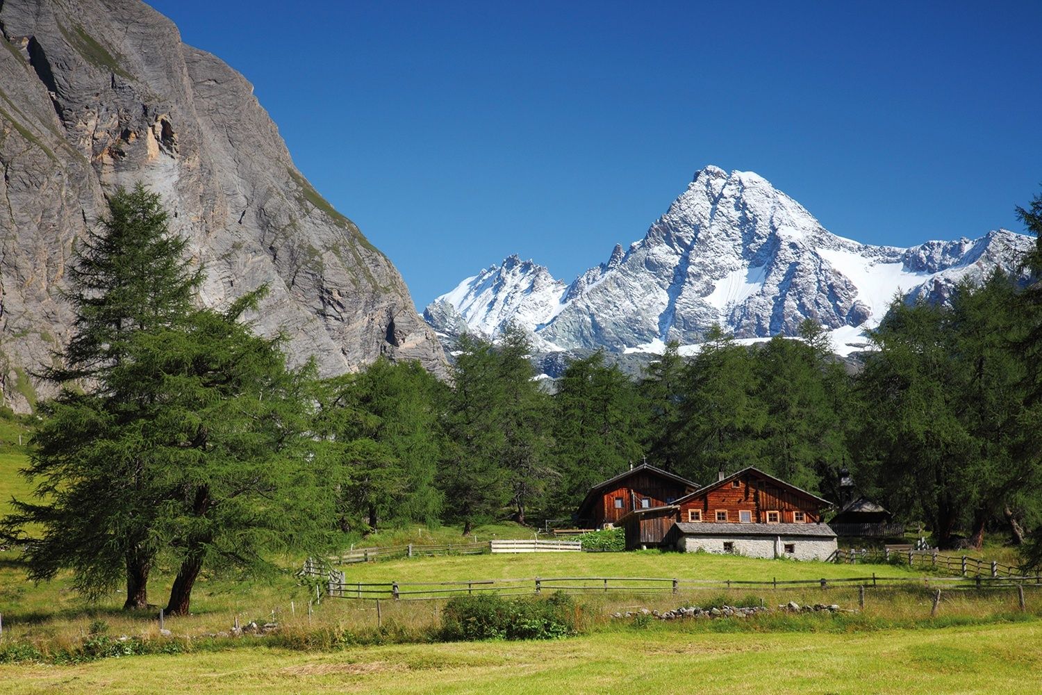
The Glockner Trail offers hikers and nature lovers a unique experience right in the heart of the Hohe Tauern National Park. This great mountain trail around the Grossglockner massif takes hikers on a tour that passes between towering glaciers, high alpine peaks and pastures that have been cultivated by mountain farmers for centuries.
- Difficoltà
-
difficile
- Valutazione
-
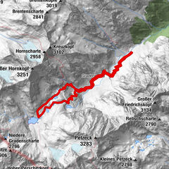
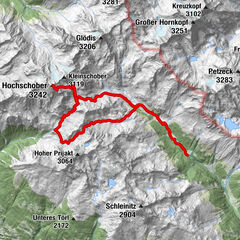
- Percorso
-
Kapruner Törl (2.636 m)6,7 kmMedelz11,9 kmGradötzscharte (2.826 m)24,4 kmSudetendeutsche Hütte (2.650 m)26,3 kmDürrenfeldscharte (2.823 m)28,0 kmGroßdorf35,7 kmUnterburg36,3 kmGlor-Berg37,1 kmKalser Eck37,5 kmKals am Großglockner37,6 kmGasthof Ködnitzhof37,7 kmKödnitz37,7 kmPfarrkirche37,8 kmKastenegg (2.821 m)47,5 kmGlorerhütte48,0 kmSalmhütte51,4 kmStockerscharte (2.442 m)55,4 kmGlocknerhaus59,0 kmSpähbrünnl64,5 kmTrauneralm (1.522 m)67,5 kmSchupfer Grundalm71,2 kmFerleiten73,8 kmFusch an der Großglocknerstraße81,6 kmHirzbachwasserfälle82,4 kmGleiwitzer Hütte89,4 kmBrandlscharte (2.371 m)91,1 kmkitz900m97,3 km
- La stagione migliore
-
genfebmaraprmaggiulugagosetottnovdic
- Punto più alto
- 2.825 m
- Destinazione
-
Kaprun-Talstation Gletscherbahnen
- Profilo altimetrico
-


- Autore
-
Il tour Around the Großglockner in 7 days è utilizzato da outdooractive.com fornito.
GPS Downloads


Altri tour nelle regioni