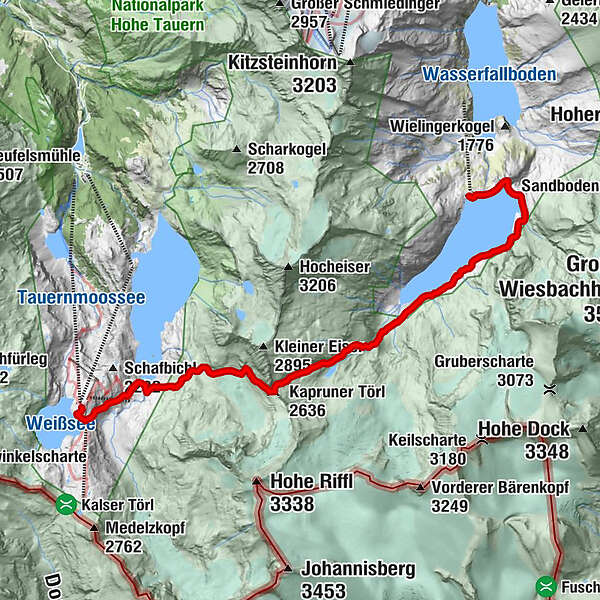
Austriaweg: Mooserboden - Kapruner Törl - Rudolfshütte

Escursionismo
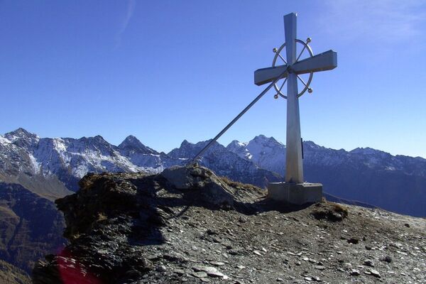
© Zell am See-Kaprun Tourismus GmbH - Erich Schwarz

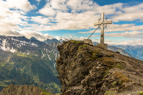
© Zell am See-Kaprun Tourismus GmbH - Erich Schwarz

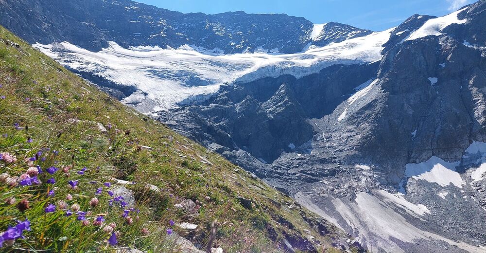
© Zell am See-Kaprun Tourismus GmbH - Erich Schwarz

© Zell am See-Kaprun Tourismus GmbH - Erich Schwarz

© Zell am See-Kaprun Tourismus GmbH - Erich Schwarz

© Zell am See-Kaprun Tourismus GmbH - Erich Schwarz

© Zell am See-Kaprun Tourismus GmbH - Erich Schwarz

- Descrizione rapida
-
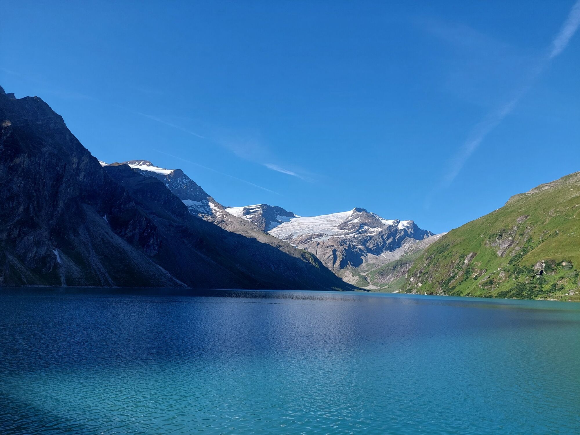
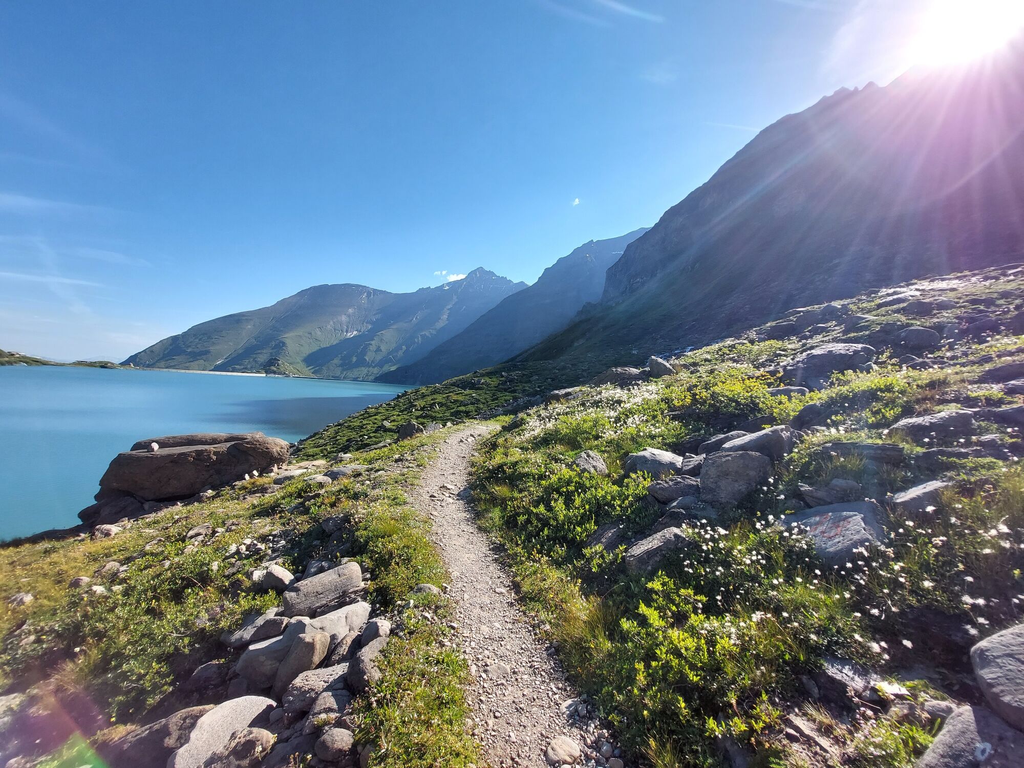
from the lake reservoir Mooserboden in the Kaprun valley to the Stubach valley to Weißsee and Tauernmoossee
- Difficoltà
-
difficile
- Valutazione
-
- Percorso
-
Bergrestaurant Mooserboden0,0 kmHöhenburg (2.108 m)0,7 kmKapruner Törl (2.636 m)7,8 km
- La stagione migliore
-
genfebmaraprmaggiulugagosetottnovdic
- Punto più alto
- 2.617 m
- Destinazione
-
Rudolfshütte
- Profilo altimetrico
-


-

-
AutoreIl tour Austriaweg: Mooserboden - Kapruner Törl - Rudolfshütte è utilizzato da outdooractive.com fornito.
GPS Downloads


Info generali
Flora
Fauna
Promettente
Altri tour nelle regioni