circular path Plettsaukopf

Logo circular path Plettsaukopf
Dati percorsi
2,19km
1.281 - 1.324m
Distanz
44hm
46hm
L'ascesa
00:40h
 
Durata
Descrizione rapida

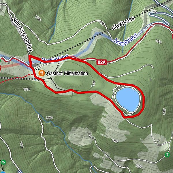
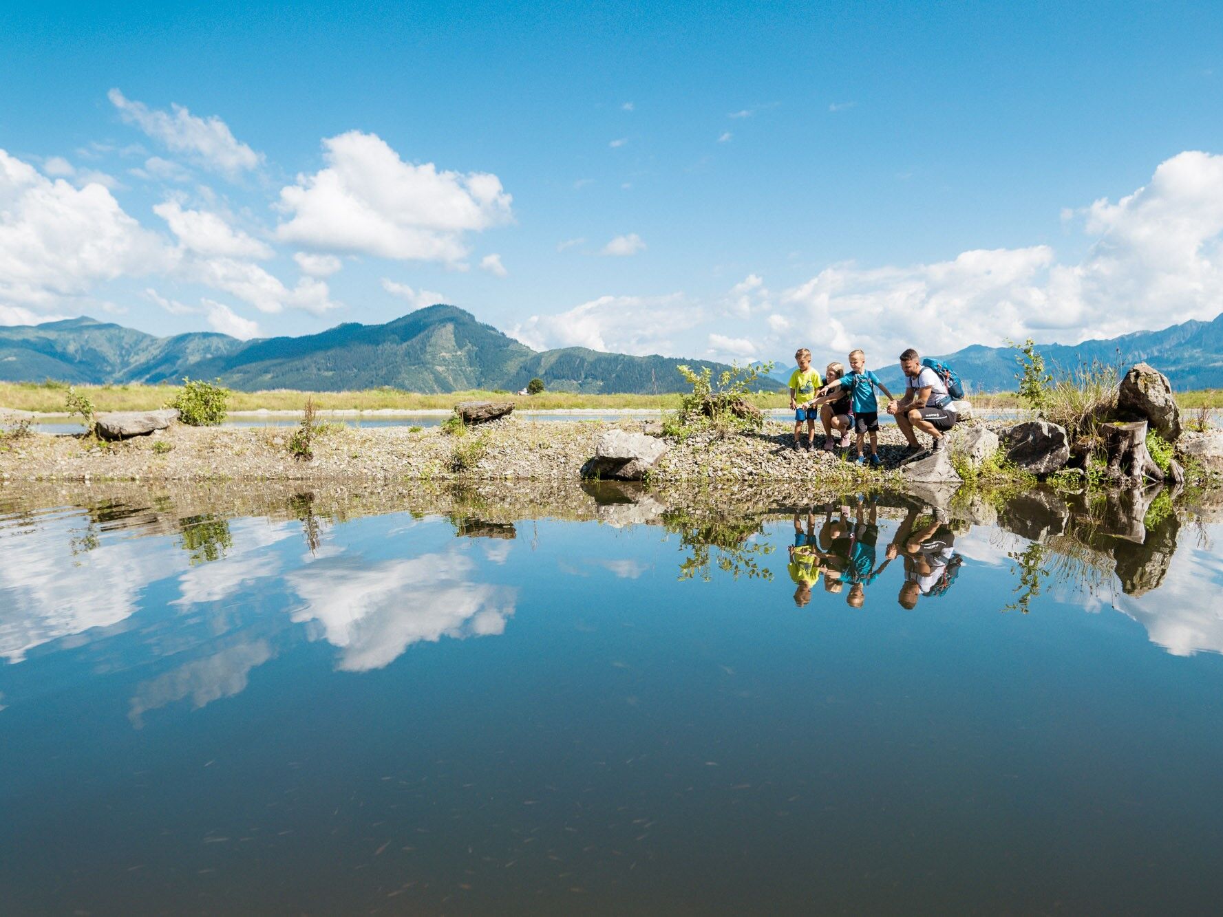
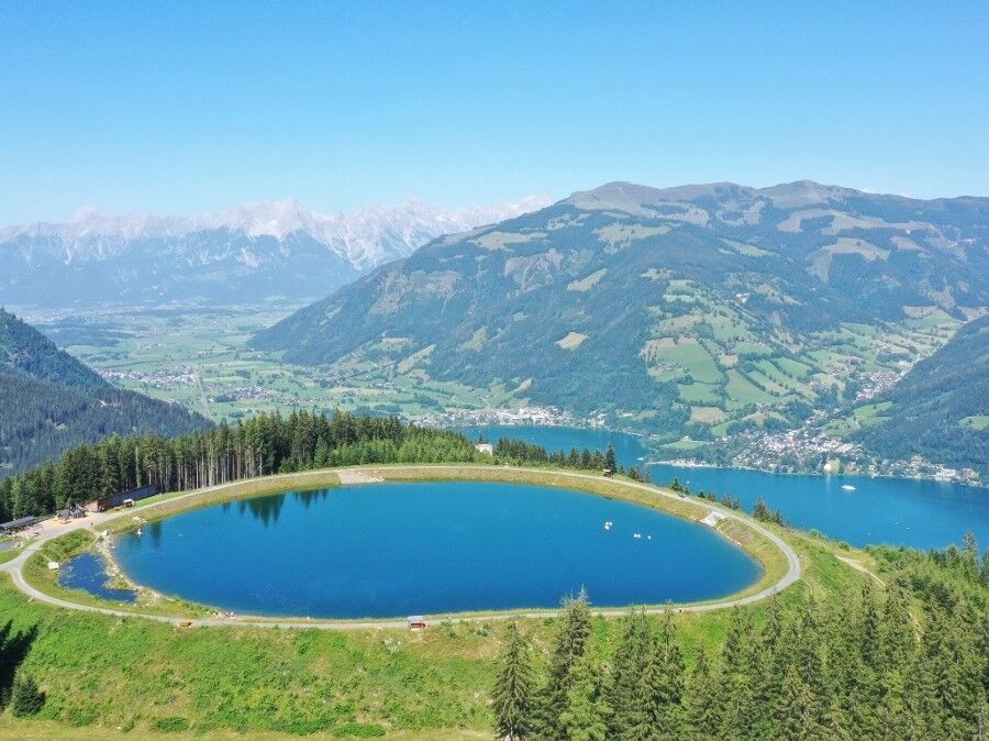
Very pleaseant walking around the reservoir with children´s playground.

Difficoltà
facile
Valutazione
Tecnica
Forma fisica
Panorama
Avventura / Esperienza
Percorso
Gasthof Mittelstation
0,1 km

La stagione migliore
gen
feb
mar
apr
mag
giu
lug
ago
set
ott
nov
dic
Punto più alto
1.324 m
Destinazione

cityXpress mountain station

Profilo altimetrico

Autore
Il tour circular path Plettsaukopf è utilizzato da outdooractive.com fornito.

Valutazione complessiva

5

0

%

4

0

%

3

0

%

2

0

%

1

0

%

Errore
Si è verificato un errore. Si prega di riprovare.
Grazie per la vostra recensione

La valutazione è stata cancellata

GPS Downloads
  • GPX GPS Exchange Format (XML)
  • KML Google Earth, Google Maps
Codici di download QR per telefoni cellulari

Info generali

Punto di ristoro
Flora
Altri tour nelle regioni

Tour popolari della zona

Maria Alm - Riemannhaus

Escursionismo
3,99km | 1073hm | 05:00h

Pfarrachhöhe ab Gries

intermedio Escursionismo
11,14km | 1196hm | 05:24h

Riemannhaus mit Sommerstein

difficile Escursionismo
4,66km | 1132hm | 08:00h

Birnhorn (2634 m)

difficile Escursionismo
9,37km | 2005hm | 06:00h