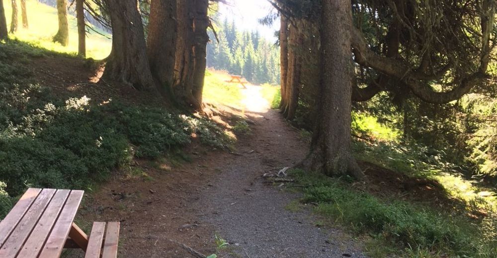
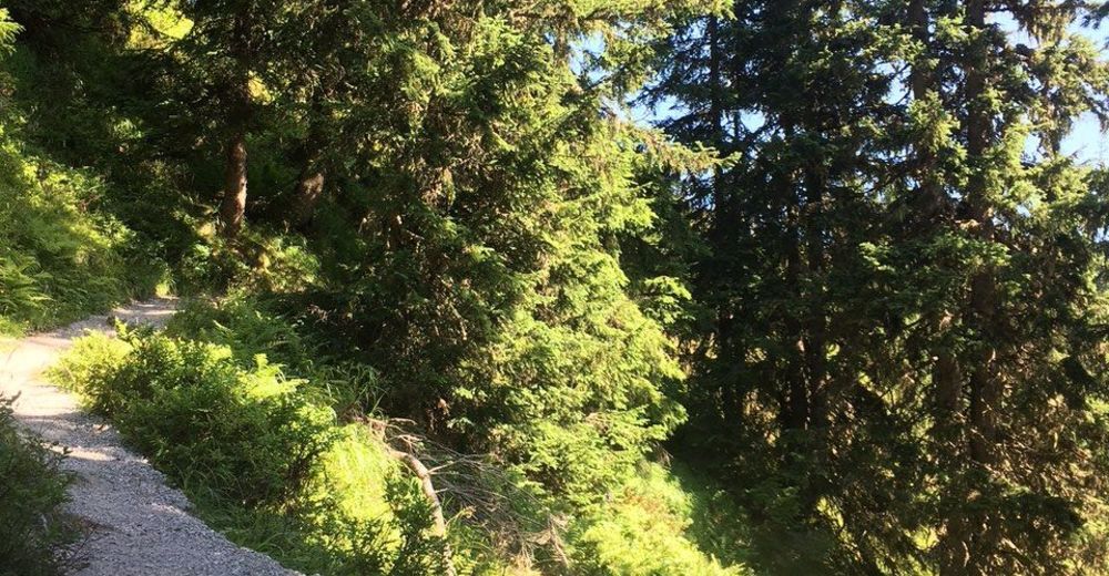
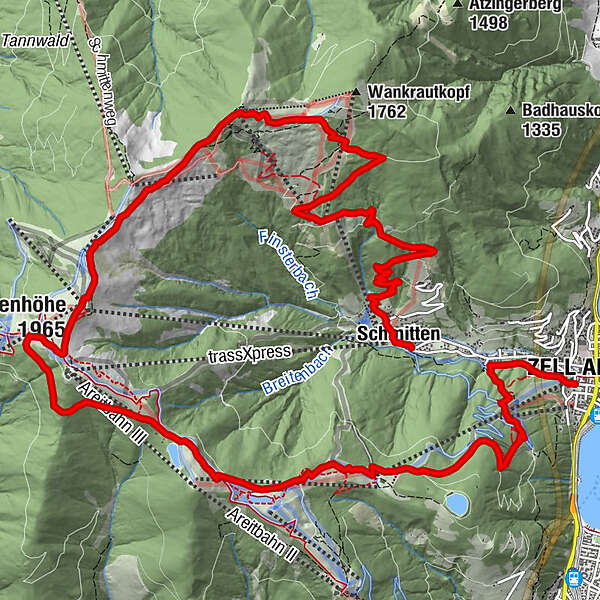
Mountain Path - Variant Zell am See/Sonnalm/Schmittenhöhe/Schüttdorf

Escursionismo

© Schmittenhöhebahn AG

© Schmittenhöhebahn AG
© Renate Ecker - Zell am See-Kaprun Tourismus
© Renate Ecker - Zell am See-Kaprun Tourismus
© Renate Ecker - Zell am See-Kaprun Tourismus

© Renate Ecker - Zell am See-Kaprun Tourismus

© Schmittenhöhebahn AG

© Schmittenhöhebahn AG

- Descrizione rapida
-
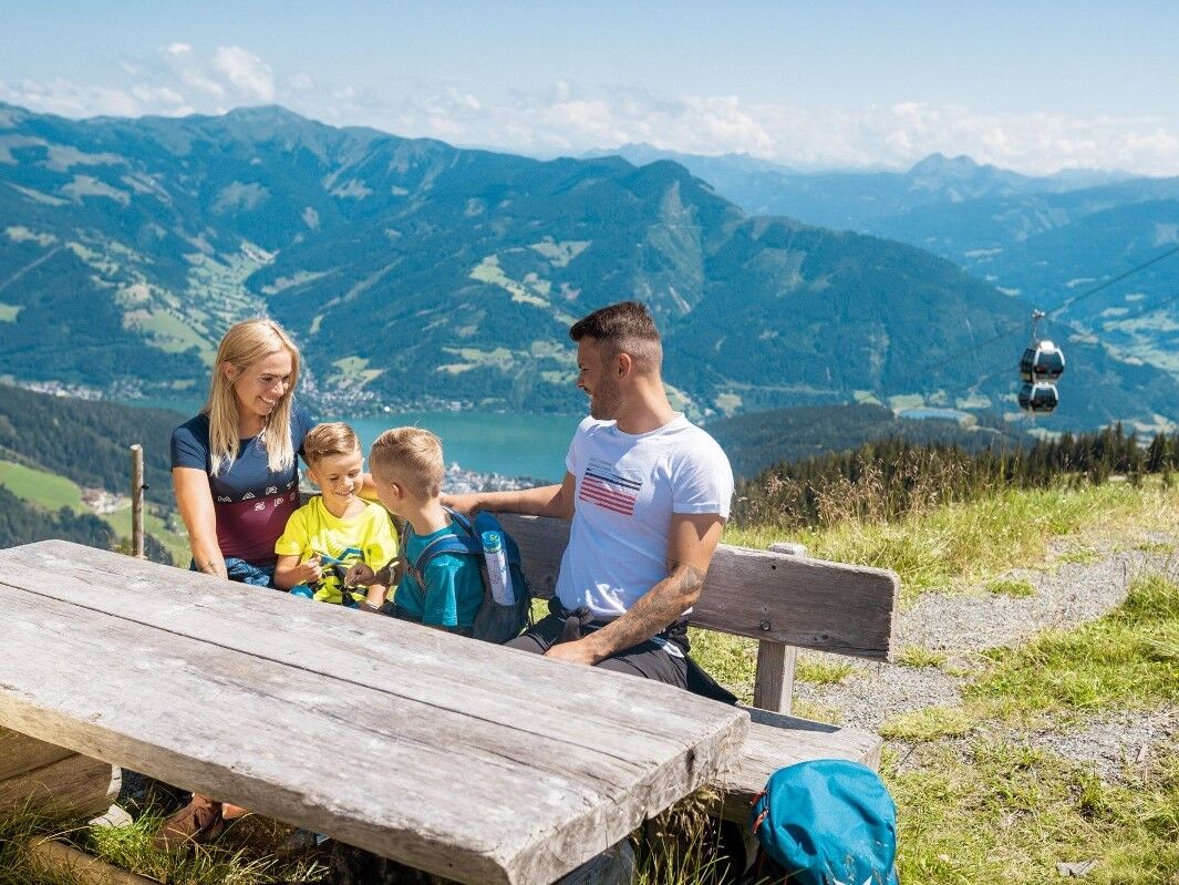
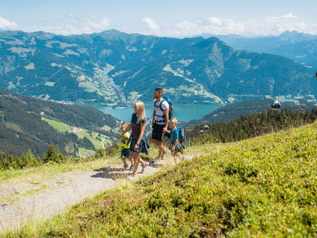
Exciting circular tour on the sunny side of the Schmittenhöhe with numerous places to stop for refreshments.
- Difficoltà
-
intermedio
- Valutazione
-
- Percorso
-
Schmitten0,1 kmBlaickner3,6 kmSonnkogel Alm6,7 kmHochzeller-Alm8,6 kmSchmittenhöhe (1.965 m)9,0 kmBerghotel Schmittenhöhe9,1 kmElisabeth-Kapelle9,1 kmZell am See (750 m)17,5 kmInnenstadt17,6 km
- La stagione migliore
-
genfebmaraprmaggiulugagosetottnovdic
- Punto più alto
- 1.961 m
- Destinazione
-
Zell am See centre or Schüttdorf
- Profilo altimetrico
-


-

-
AutoreIl tour Mountain Path - Variant Zell am See/Sonnalm/Schmittenhöhe/Schüttdorf è utilizzato da outdooractive.com fornito.
GPS Downloads


Info generali
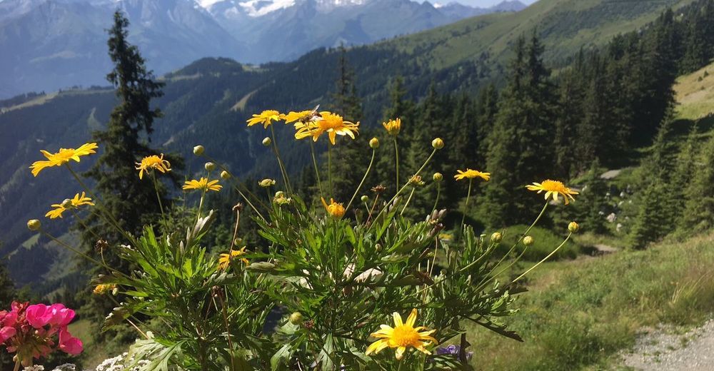
Flora
Promettente
Altri tour nelle regioni
-
Zell am See - Kaprun
1504
-
Schmittenhöhe
522


